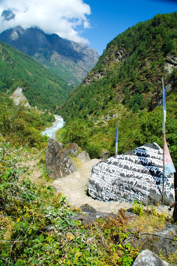
I woke fully rested with no headache and felt at this point the fittest I had been since starting the trek. By 0600hrs we were out walking up towards the Cho La Pass. It starts out very much like Scafel Pike, back home in the Lake District, with hidden and false peaks.
I was going strong, enjoying the walk and scenery. Around 5100m we first laid our eyes on the pass itself. It looked formidable, causing a wave of doubt to pass over me whether I could do this. Here’s a quote from journal: “I have never seen a more daunting, malevolent path in my life. Just looking at it sent a chill down my spine.” I was going to be in for a challenge!
The whole group walked in silence, occasionally glancing up to the path with a somber gaze. Soon we were confronted with a line of Sherpas carrying our gear packed within blue covers, up a near vertical wall. We had to ascend this to get to a ledge that marked the start of the climb up the Cho La Pass. Underfoot consisted of energy sapping sand and loose stones, up a horrifically steep path. It took great effort to reach the top.

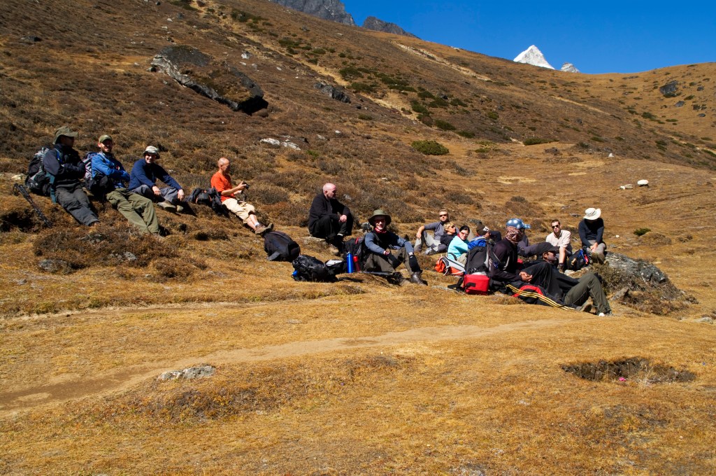
From the ledge we had to cross a boulder field; I had to forgo the trekking poles as they were more of a hinderance. The pace was slow and difficult to reach the base of the pass itself. We stopped for a break in the shadow of the this beast to eat our packed lunches. It looked insurmountable, the terrain was sheer loose rock and ice, but there was no turning back, the only way was forward.

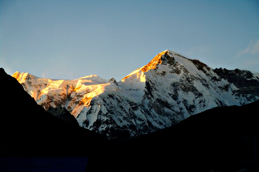
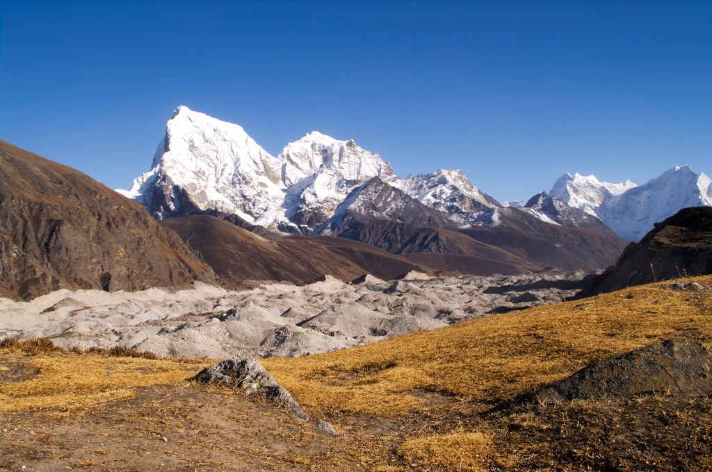
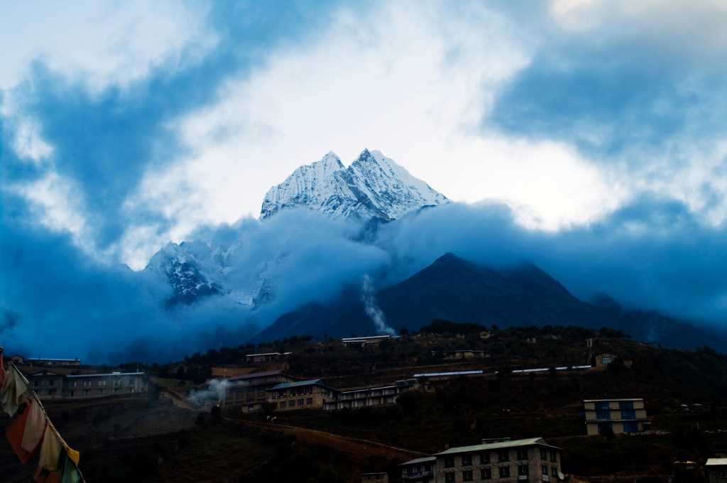
With great and tiring effort we pushed on. Our legs were burning with the physical effort of this difficult section. The pace was slow with frequent rest stops and a lot of scrambling to finally reach the ice field over the top of the pass (5380m). All the exhaustion was worth it to be granted views back down towards the Ngozumba Glacier.
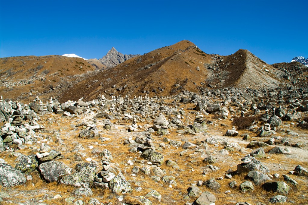
We all rested for half an hour, elated and in very high spirits for conquering such a challenging ascent. I got some of my favourite pictures of the adventure here. At the shout of ‘Djam Djam’ picked up our packs and moved on.

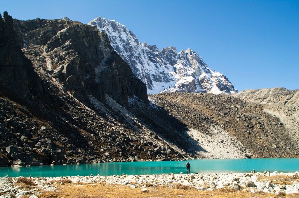
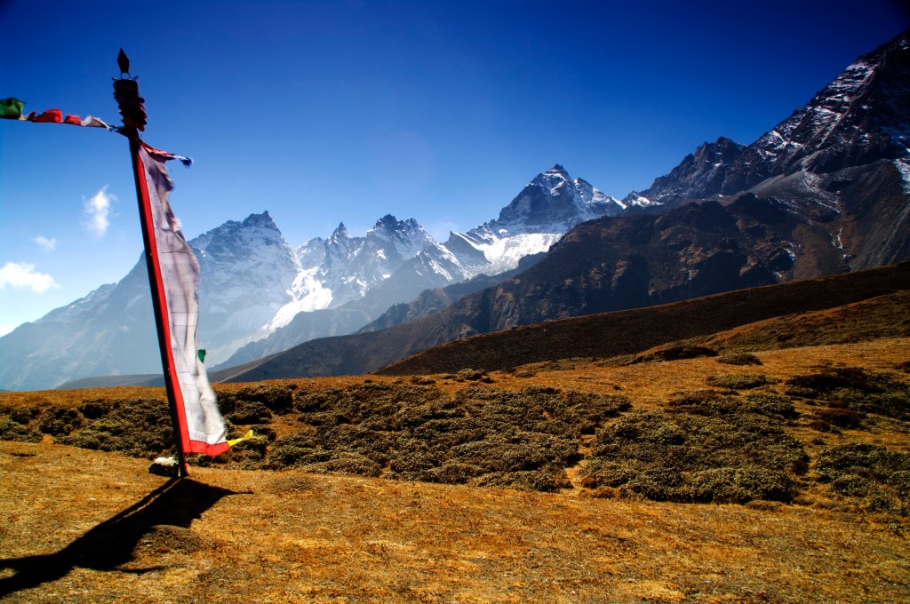
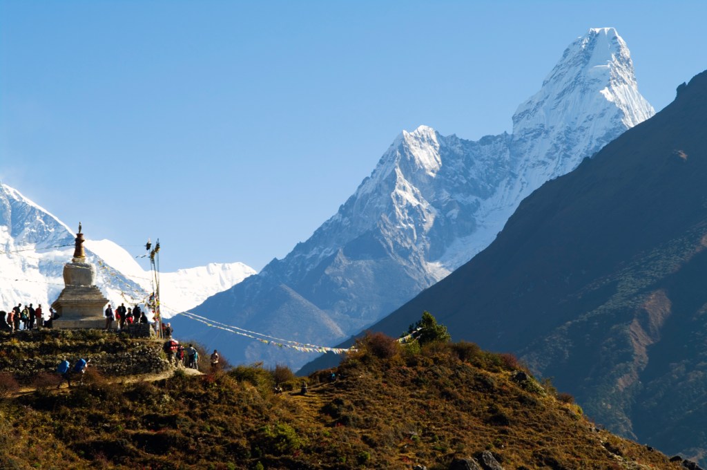
My map marked this section with warnings about crevasses and to keep left, which heightened my sense of adventure. It was picturesque and it fulfilled what I had imagined walking in the Himalayas would be like. Crossing through snow and ice while being surrounded by white capped mountains; a magical moment. Alas, with great care navigating a very slippery route, we reached the other side of the pass to enter the ‘Khumbu Valley’, Everest’s valley.

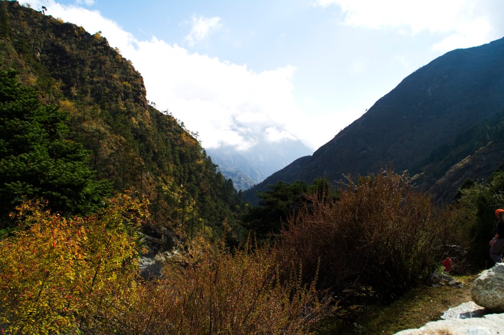
The views were just as spectacular as the Ngozumba side. The path on the way down very much mirrored the ascent, leading down to a stream that cut through flat heathland. It was easy going from this point, a great way to walk off the intensity of the pass.

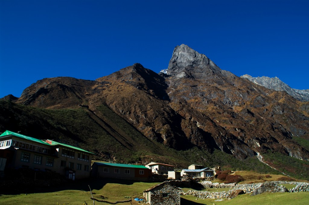
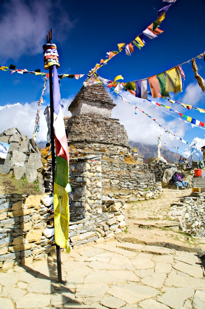
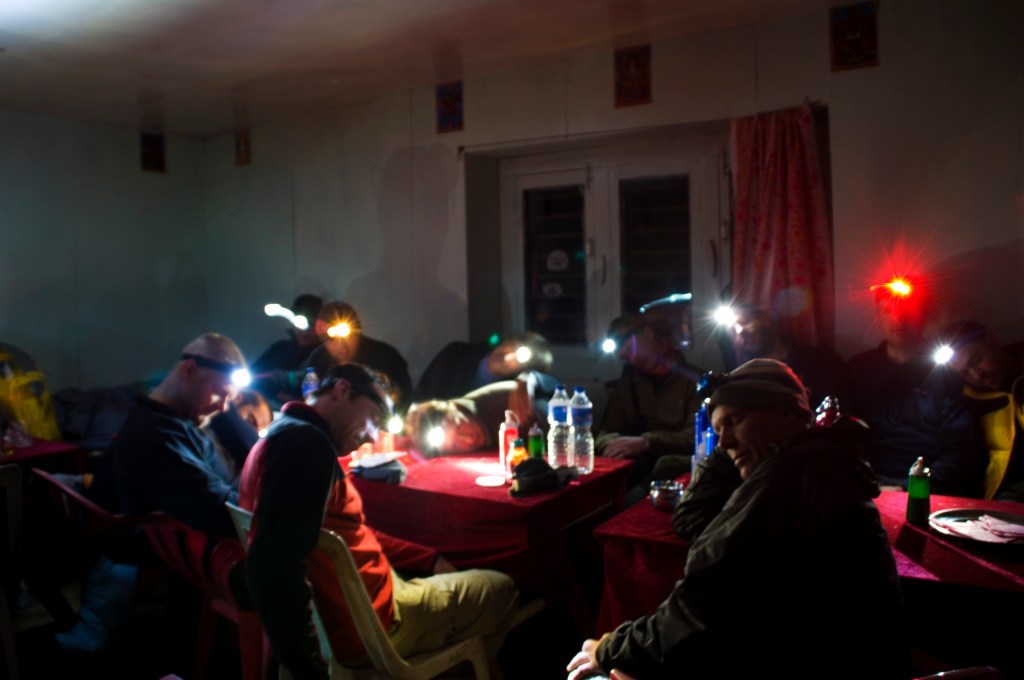
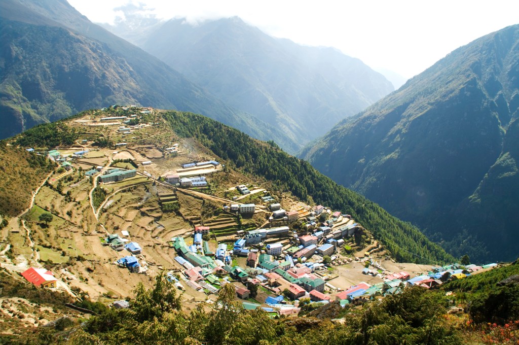
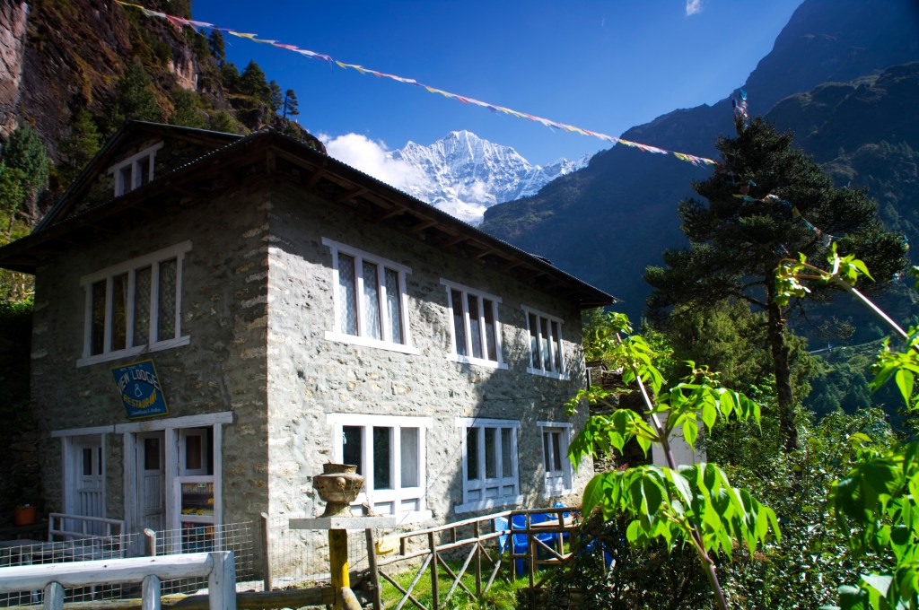
By 1400hrs we arrived at our stop for the night, ‘The Green Valley Lodge’ in Dzonghla. To our surprise the whole group was sharing a dorm for the night! Bunk beds had been lined up in a row, creating a single giant bunk bed. It was going to very cozy! After wolfing down some food we relaxed in the common room chatting about the day’s experience.