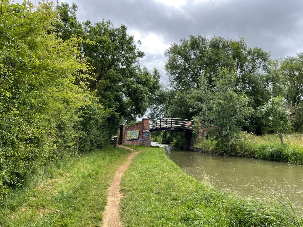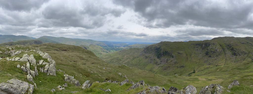
Leaving Prakding I felt a little gloomy as this would be the last day walking on this most amazing adventure. At 0800hrs we slowly made our way to Lukla, taking in the scenery and enjoying last of the trek.
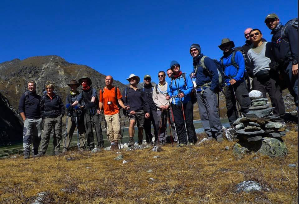
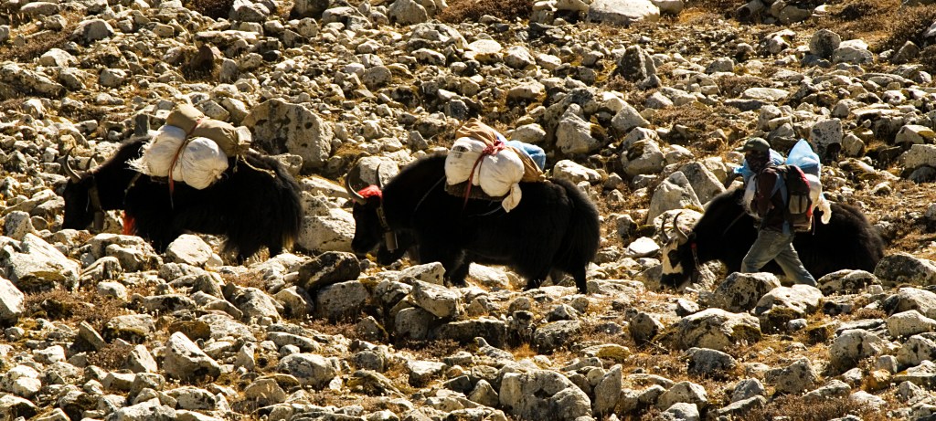
On approaching Lukla we came across Steve, Neil and Leon sitting on a wall having a break. While chatting with them the ground started to rumble, and looking up, loose rocks were tumbling down from the mountain, dislodged by grazing Yaks above. They rolled over the path in front of us, a close shave!
Not wanting to wait for the next thundering rock fall, we all continued on to our teahouse where we ordered some food. We opted for spicy chicken wings, which were on the hot side, but delicious. Unfortunately my dining companions found them too spicy; fortunately for me they were perfect, so I finished them all off!
The dreaded stomach bug that had been plaguing the group had reached Pete, so he spent the day and evening in bed. I brought up some plain toast and orange juice for him, but he struggled to eat it. I managed to evade this bug completely, the only one who did!
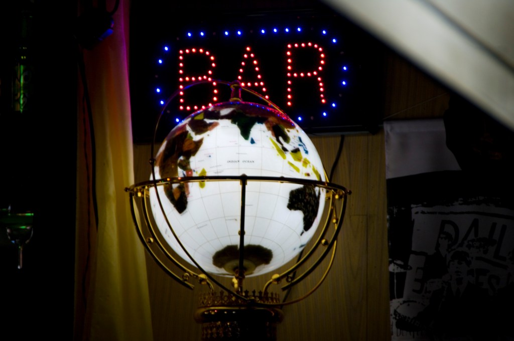
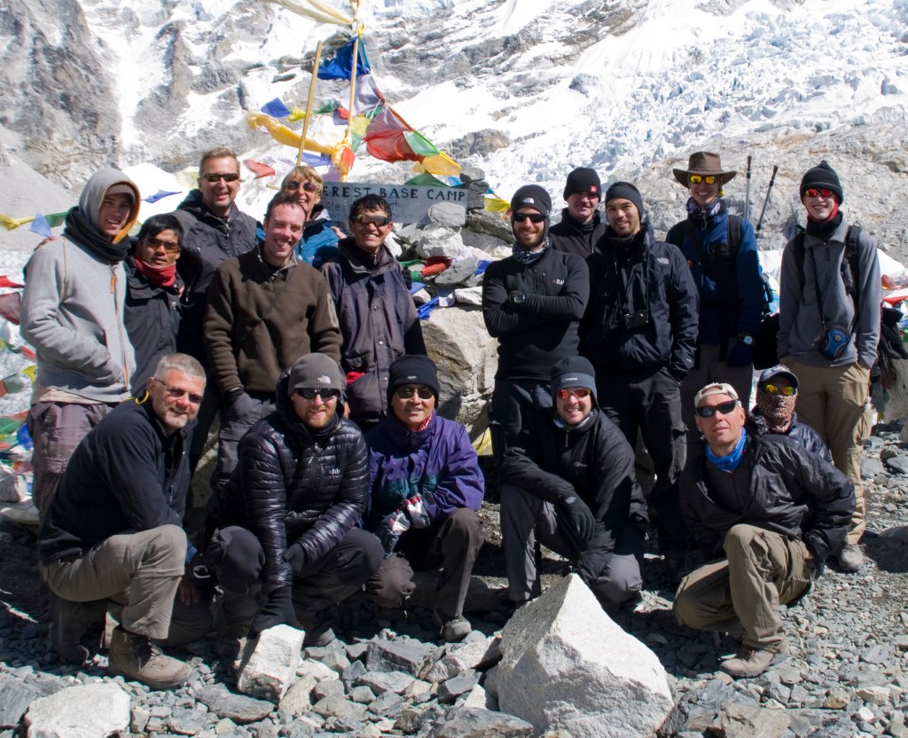
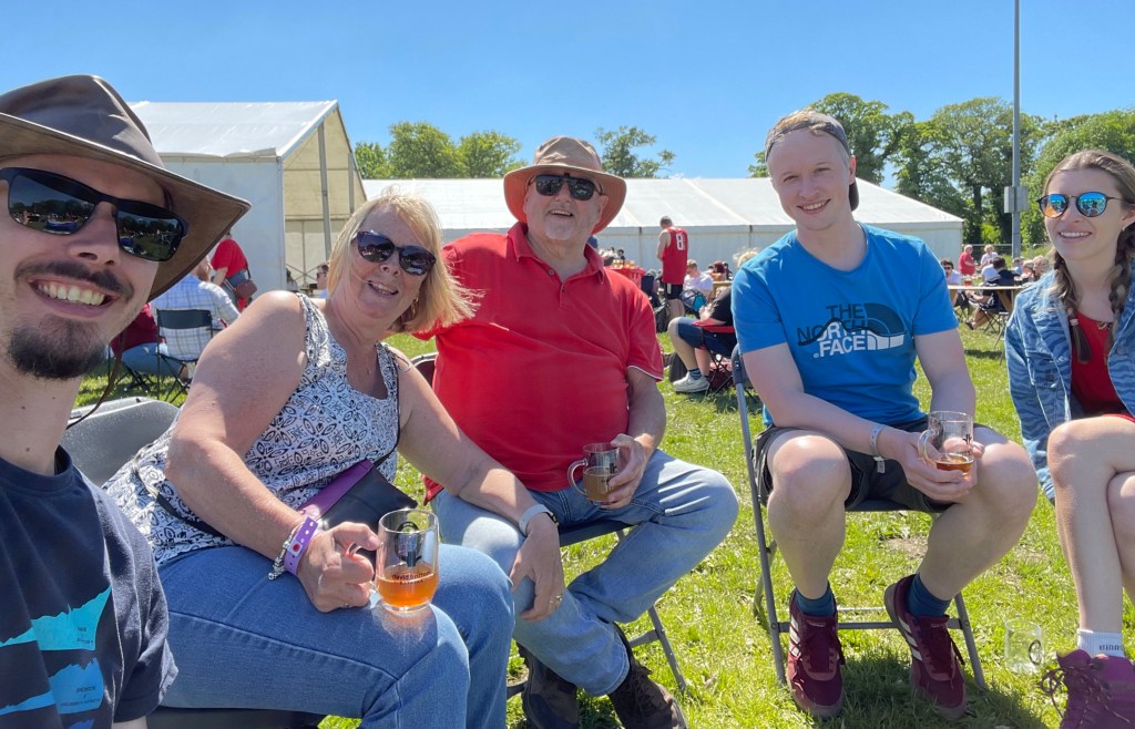
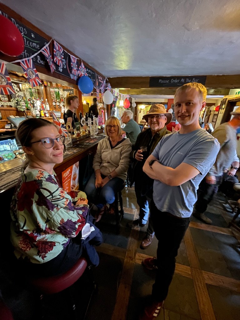
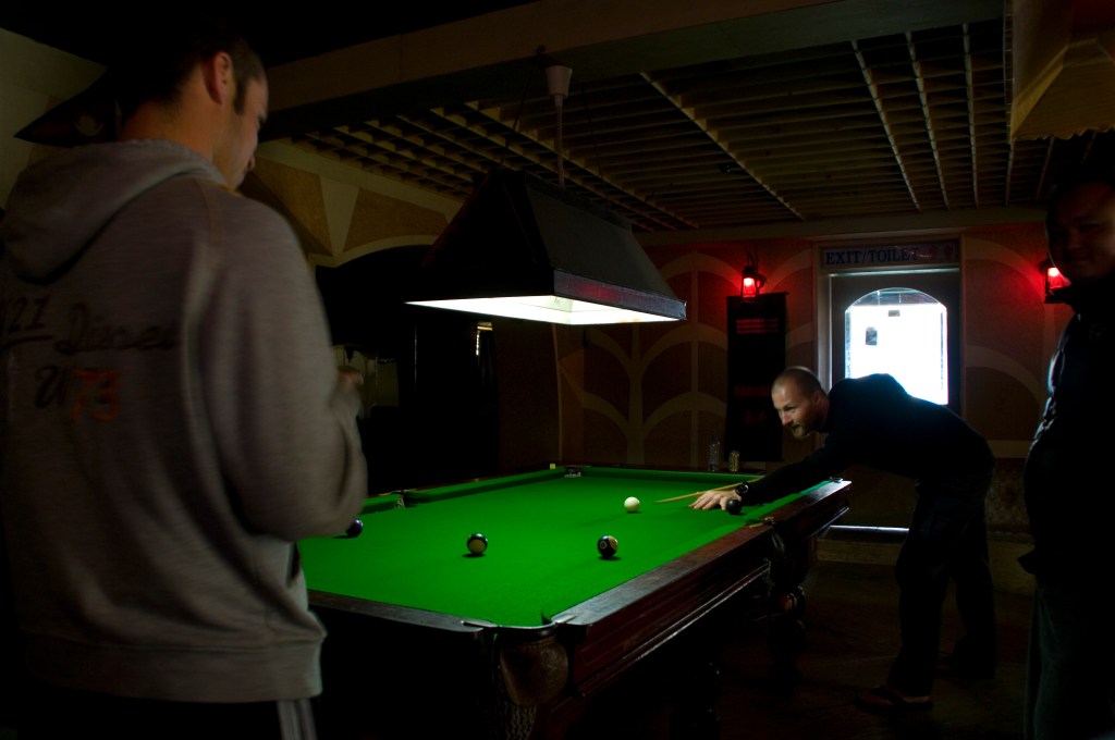
I spent the day in the bar drinking and playing pool with the group until dinner time. The entire group, guides and Sherpas, all had a meal together on us. We presented gifts and tips to our guides and Sherpas.
We all then went back to the bar for happy hour and played killer pool with another walking group. It was my turn to be inebriated! It was a shame Pete wasn’t feeling well enough to join in, however it was good for him that he got the bug on the last day, where there were proper en-suite toilet facilities.
I staggered back to my room around 2300hrs to sort my bag out for tomorrows flight to Kathmandu. In the morning I thought I would treat myself to a shower, however it was the biggest mistake I had made on the entire adventure. I was all now nice, clean and fresh, but I could now smell my clothes.
They absolutely stunk and to think this is what I had smelt like for two weeks! As we were all stinking together we hadn’t noticed it. It was uncomfortable putting back on my walking gear. At breakfast we got the bill from last night’s festivities and it seemed there were a few drinks that were unaccounted for, looked like they had added some extra rounds!

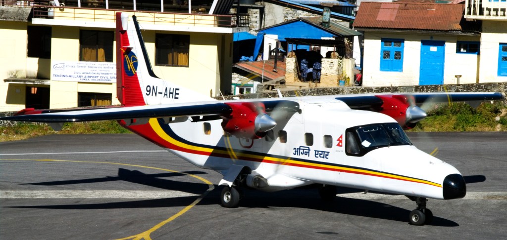
The airport was busy, packed full of walkers. I couldn’t believe how many, as we hardly saw any on the route yesterday heading to Lukla. Getting through security was another experience. I put my bag on the counter, he asked me “Any knives, cigarettes, bombs or guns?” I said “no” at which point he frisked me then waved me through. He didn’t even check my bag!
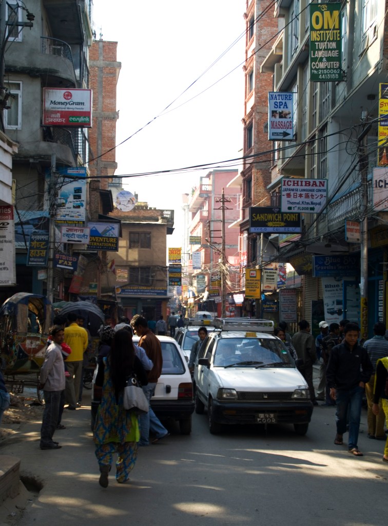
The flight back to Kathmandu was hairy. There was a lot of turbulence and it felt like the small plane was being blown around like a leaf. At one point I swore we were moving sideways! I was so relieved once the wheels hit the tarmac and on the bus back to our hotel.

After a shower and changing into the clothes we had left at the hotel two weeks earlier, we went to the Rum Doodle bar for dinner with the group. This is a famous bar in Kathmandu, where everyone who has summited Everest, draws a sketch on a wooden plaque, that are then hung up on the walls. I spotted Hillary’s and Alan Hinkes’.
Rajesh presented us with certificates for reaching EBC and we all made our own plaque. We called our group ‘The Very Dangerous Team’, an ongoing joke we had with the guides from crossing the Ngzumba Glacier and all the silly antics we got up to along the way.
The following day me and Pete just spent the day pottering around Kathmandu, doing a bit of shopping and relaxing at the hotel. We were exhausted and didn’t feel like doing anything else. We sorted our bags out ready for the flight back to blighty.
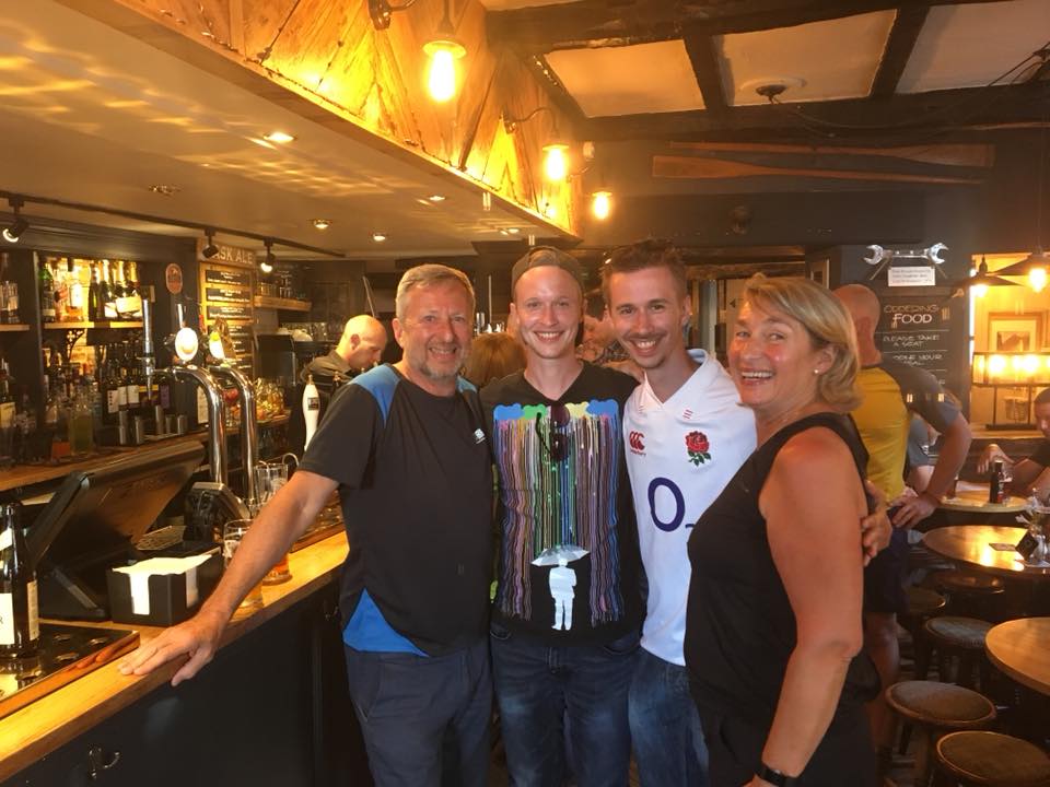
In the evening we went to a steakhouse we had eaten at on our first night in Kathmandu with the group. Our last meal together, a very poignant moment, saying goodbye to people who were strangers two weeks ago, but are now dear friends.
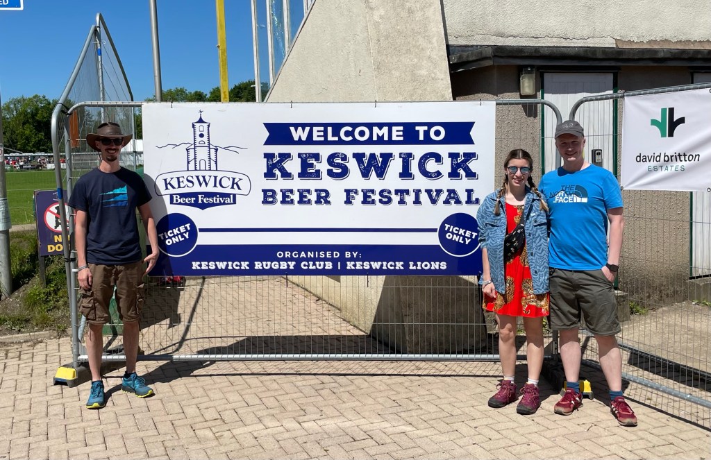
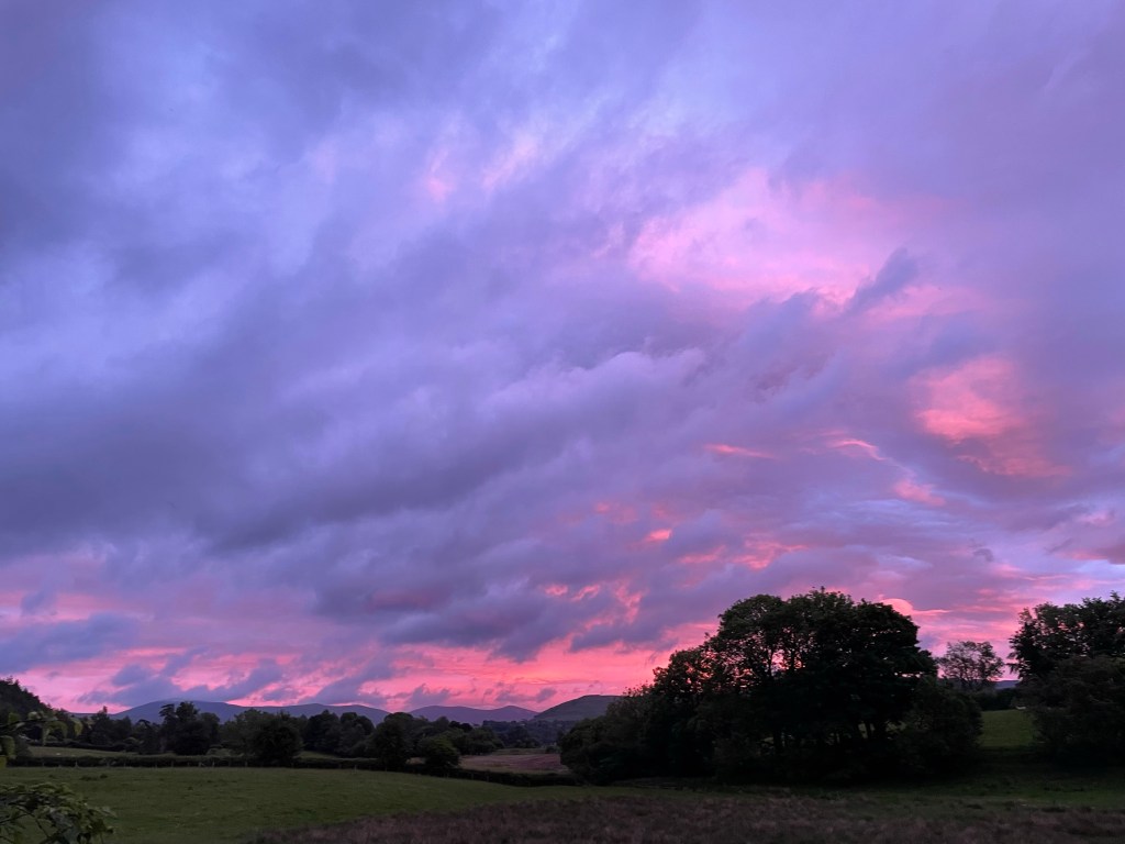
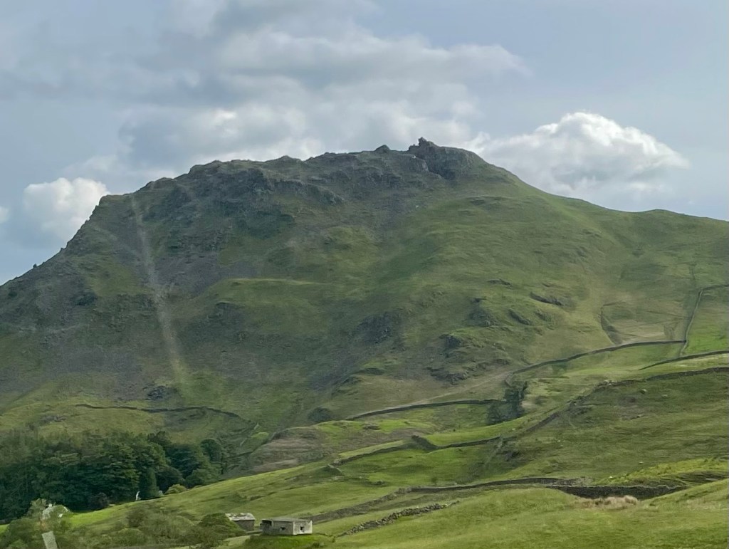
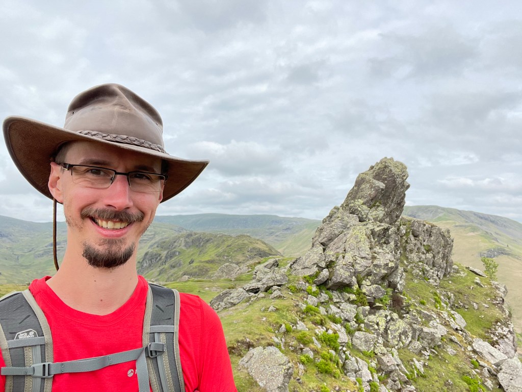
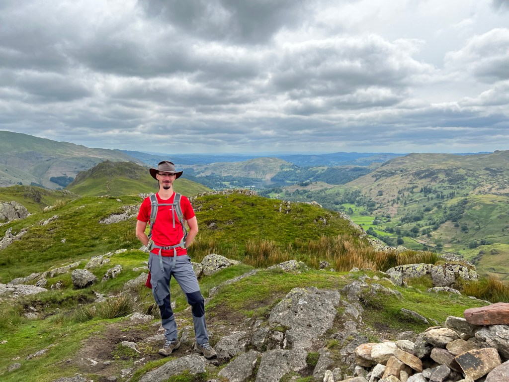
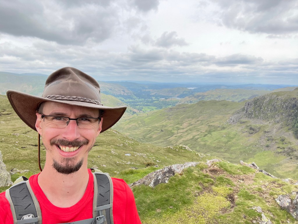
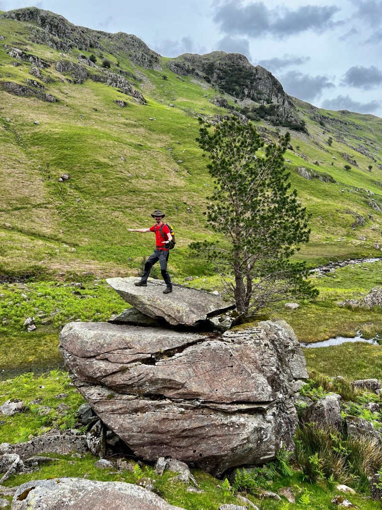
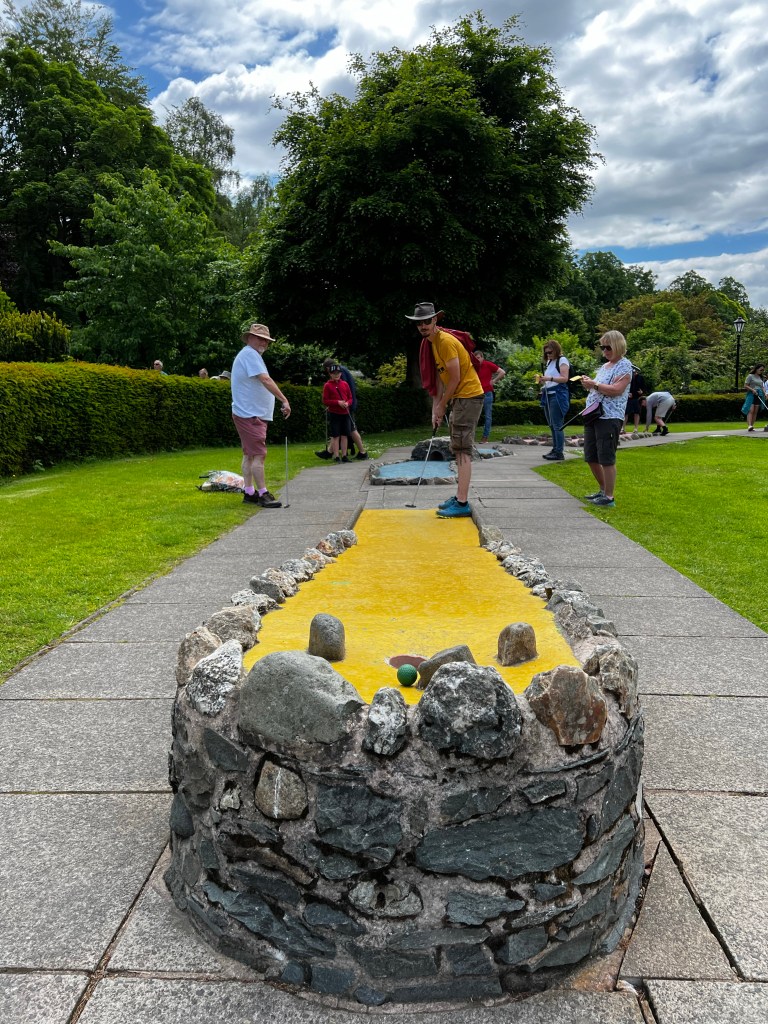
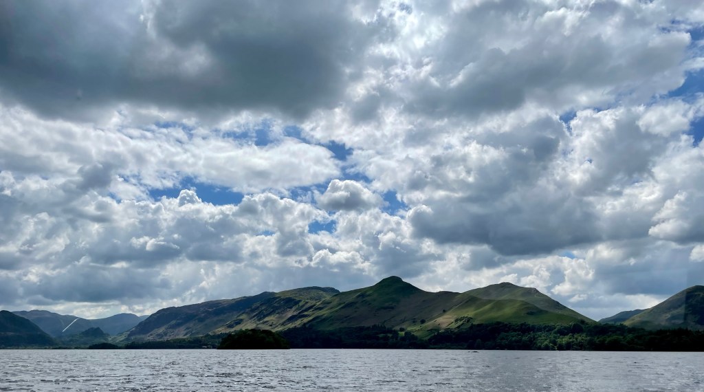
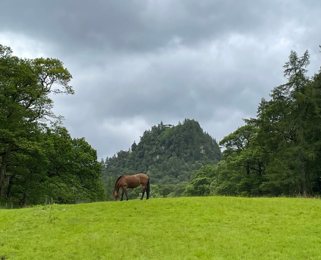
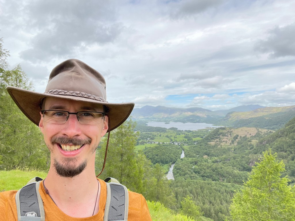
We have kept touch over Facebook and we all got together to climb Snowdon in the winter a year later. Me and Peter met up with Colin and Linda in Keswick in 2018, as we randomly ended up holidaying in the Lake District at the same time.
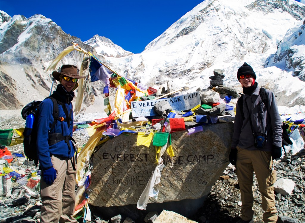
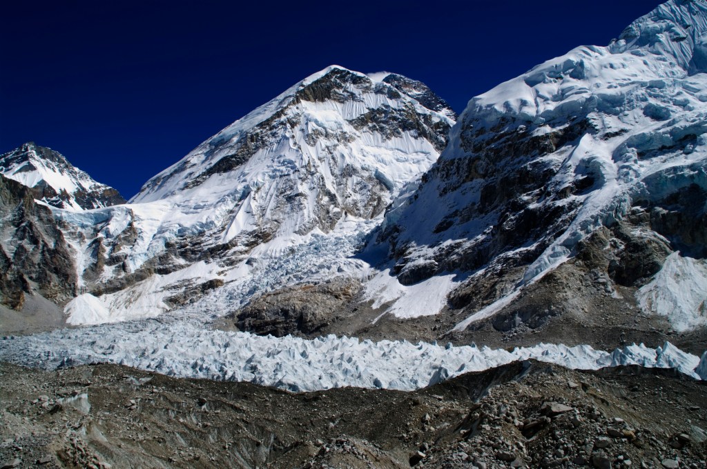
I would highly recommend this trip if you ever get the opportunity to undertake it. Don’t put it off or doubt yourself whether you would be able to do it. Don’t let fear of altitude sickness deter you or the cold and the difficult moments I have described in this blog series. The guides are very professional and well trained, they will look after you. Even if you don’t make it to EBC, the experience of the journey will stay with you. Honestly, getting to EBC wasn’t the highlight for me, crossing the Ngzumba Glacier, the Cho La Pass and the friends I met along the way, were the memorable moments for me.