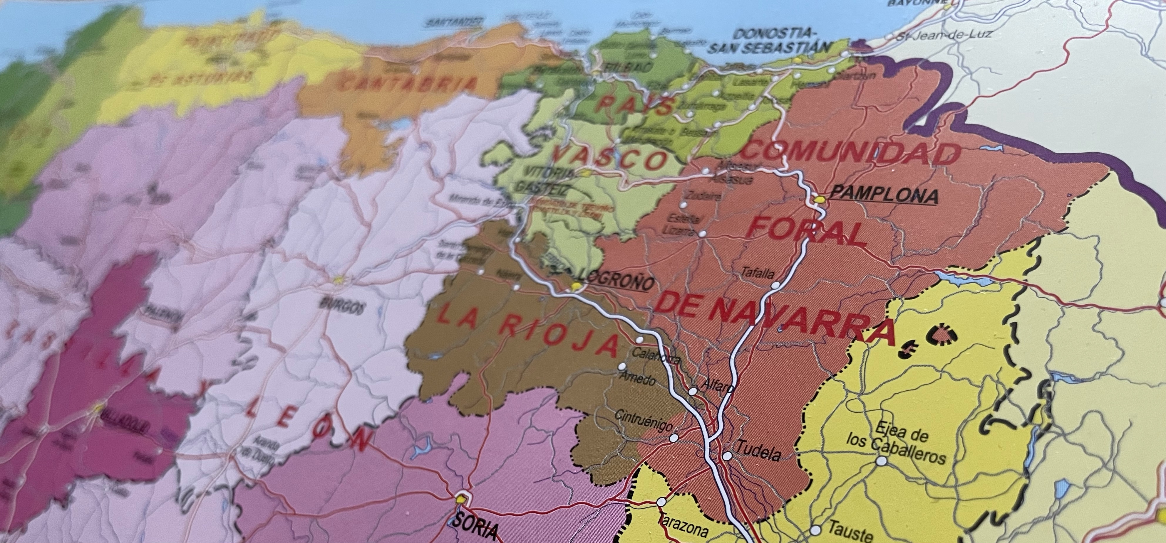
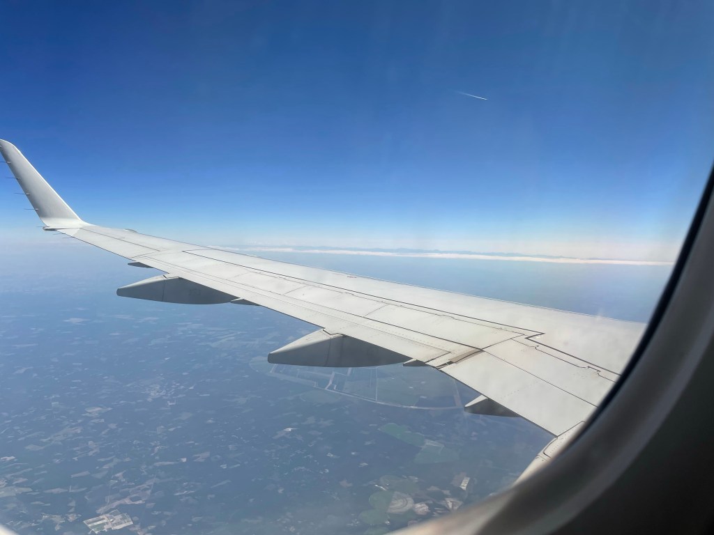
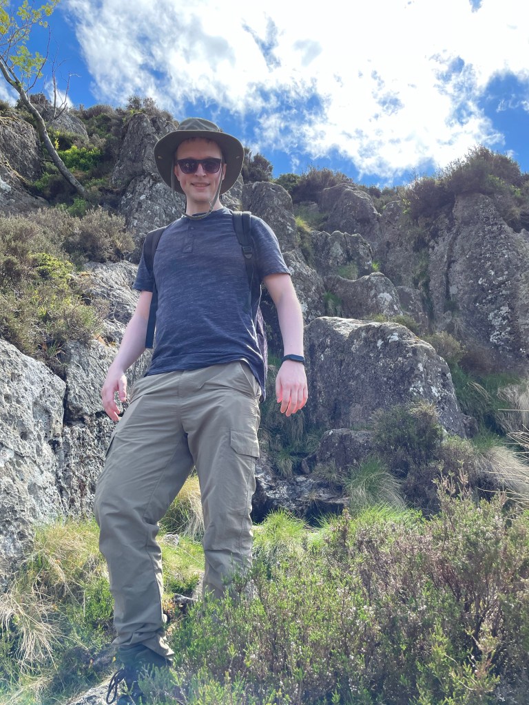
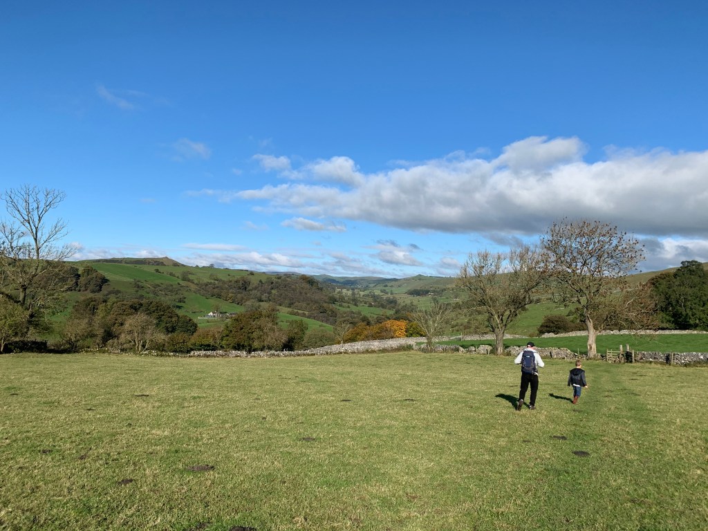
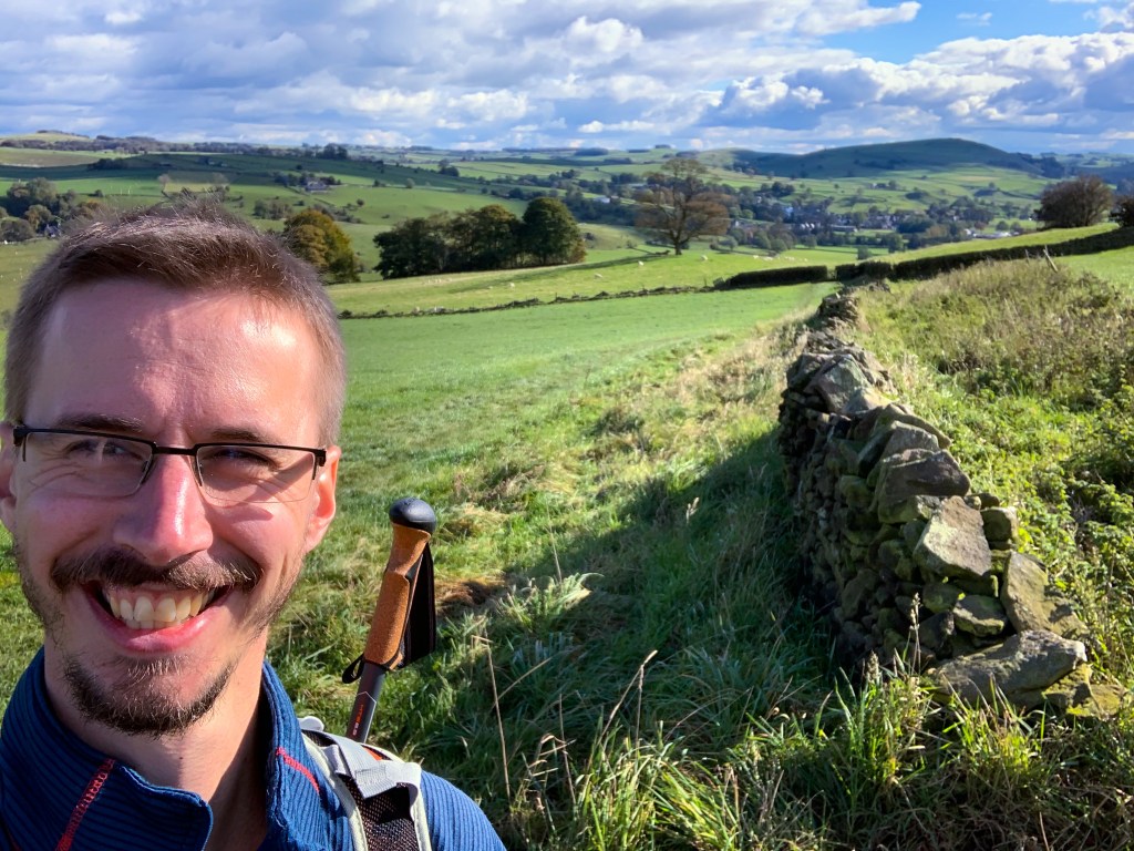
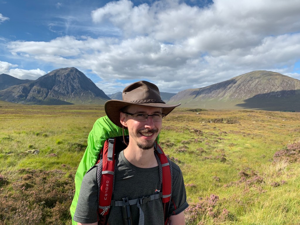
It has been a long time coming, but at 1035hrs this morning, I boarded my Airfrance flight to Biarritz!
The flights and change over in Paris was painless and all on time giving me 1.5 hours to catch the train. About 20 minutes from landing into Biarritz I caught my first glimpse of the Pyrenees in the distance; looking like mere mounds from the airplane window.
With luck the second bag through the luggage carasel was mine, and as it was an internal flight, all the border checks had been done in Paris. I grabbed my bag and walked straight out onto the taxi rank.
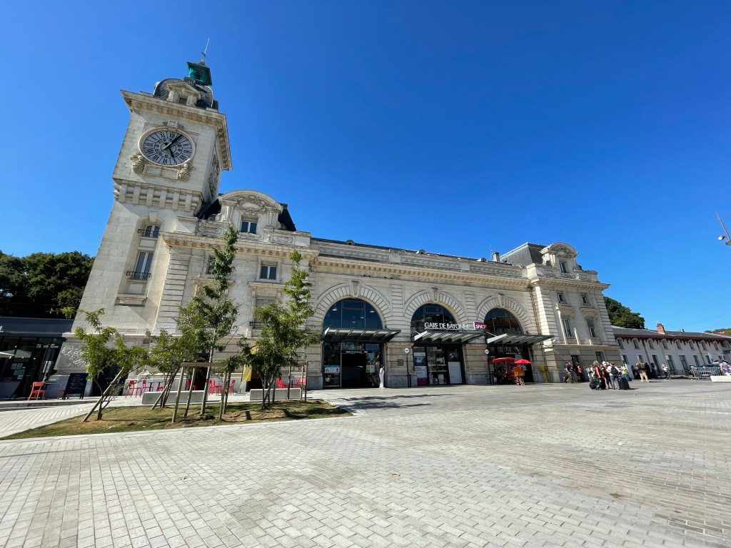
I did contemplate walking to the station but after seeing it was 6 miles away, I wouldn’t have time.
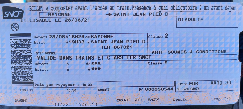
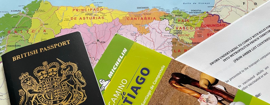
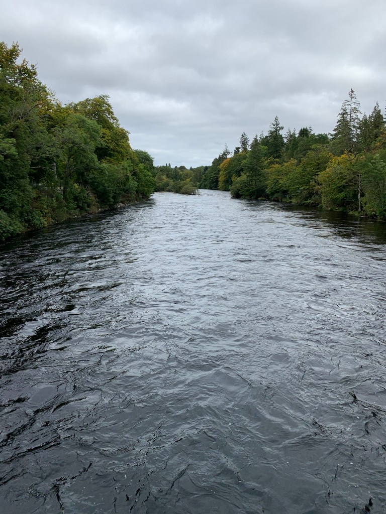
From Bayonne station I took the train bound for St. Jean to my bed for the night. I reserved a bunk in a gite called “Makila”. In France these bunkhouses are called “gites” where as in Spain they are “Albergues”. With breakfast included, there was no contest.
Bayonne Train StationTicket to Ride
Now my journey has begun, I can finally cease my daily ritual of checking the French government website for any changes to the travel requirements. I was verging on paranoia that Covid was going to give another plot twist in my Camino saga.
To give me the best chance to avoid any potential pitfalls, I’d printed and signed a few copies of the covid declaration form required for entry and downloaded the french version of the NHS app to evidence my vaccine status. However I have yet to be asked to show my papers, other than my NHS QR code in Manchester.
The past four weeks I have successfully avoided anyone with slightest inclining of a cough!
Leading up to today, my anticipation has been high and constantly restless. I felt like a child leading up to Christmas, excitedly counting down the days. Now I’m here I’m eager to walk.
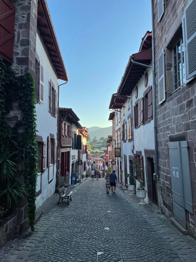
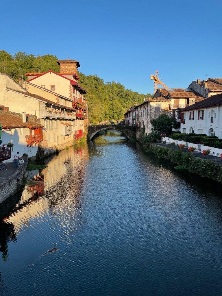
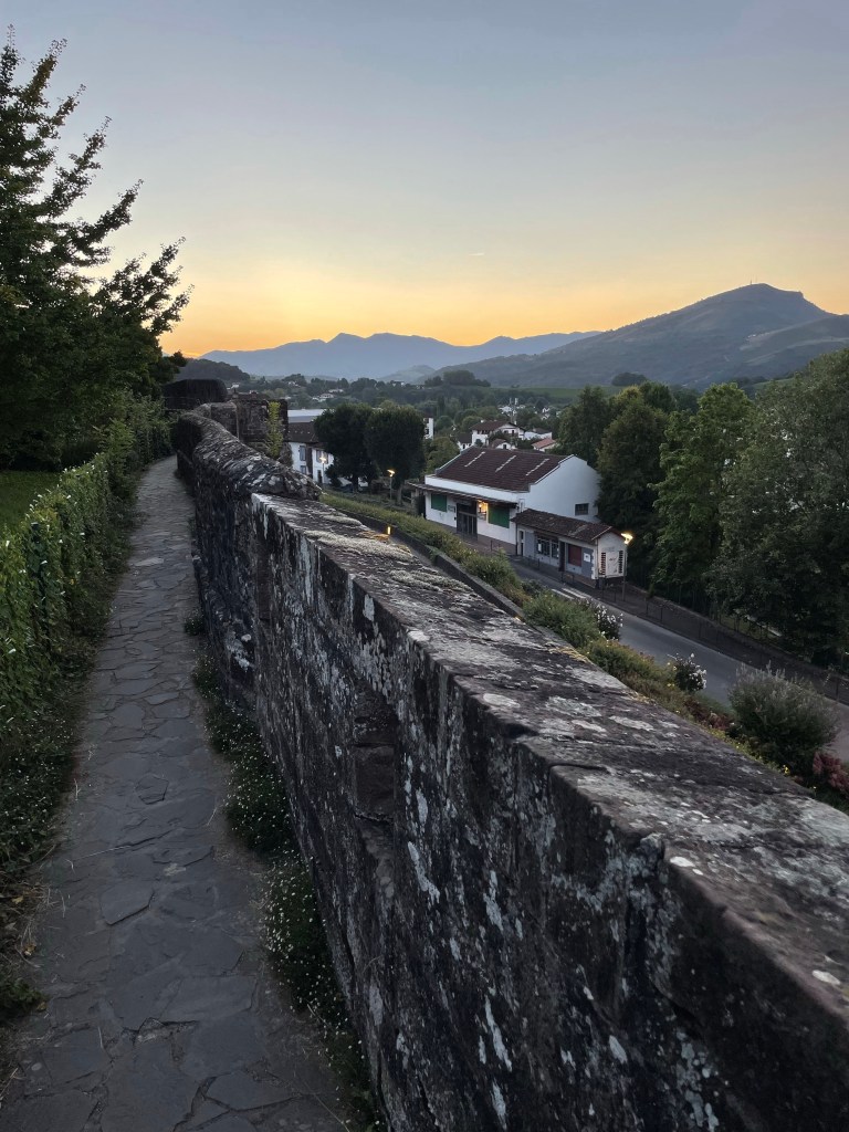
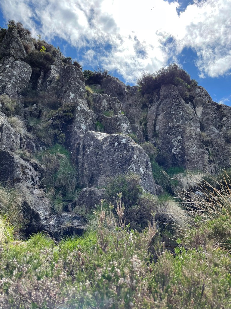
I had a walk around the town before grabbing a bite in a quaint little restaurant. The Gite is within the old fortifications of a castle and backs on to the outer wall. After my meal, I took a leisurely stroll along these ancient ramparts, a warm up for tomorrow.
With all that we have been through since the beginning of 2020, I have been suppressing my excitement as September approaches; in 19 days time I plan to depart for France to begin my Camino. The trek has been rescheduled twice now due to the ‘Rona’ and being able to have a block of 6 weeks off work is a rarity. The collateral issues for my colleagues in booking leave over these periods, isn’t doing me any favours. It is likely this will be my only chance to undertake the journey for the foreseeable future.
I’ve been keeping a keen eye on the lockdown situation across northern Spain. At the moment the Camino is open, with over a thousand people registering completion at Santiago each day. 90% of hospitality services are open; everything is looking good at the moment for traveling this ancient route.
The first hurdle is getting into France; currently they are accepting travelers from the UK to enter the country on the proviso that they are double jabbed and completed a declaration form, to say they have not been in recent contact with anyone with Covid; no PCR test is required at the moment. The next hurdle is getting into Spain from France and according to the foreign office it is a similar arrangement.
It is looking promising and I can only keep my fingers crossed that it will stay like this or improve. Potentially the only issue I may encounter is on my return to the UK, if the government decides to put Spain on to the red list; but that is a headache for mid October.
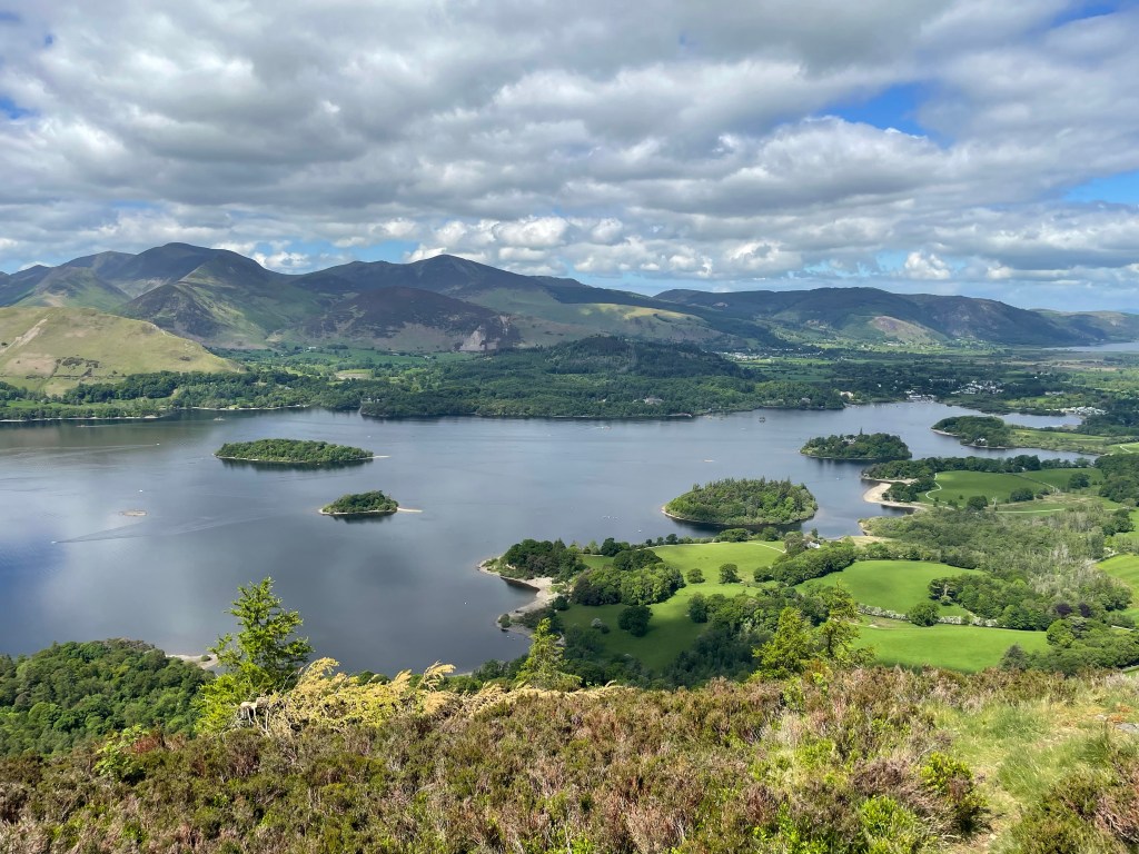
Derwent Water from Walla Crag
The 18 month delay has afforded more time for me to obsess over long distance hiking videos and equipment. As a result, I have had a change of heart regarding my footwear. I originally opted for walking boots and bought a pair of Scarpa Mistral GTX. These boots carried me through my Scotland through-hike back in September and performed very well.
A comment that I often saw from people who had walked the Camino, was most of the time they walked in their sandals due to the heat. If I were to follow suit this would mean I’ll be carrying extra weight; this has caused me to re-evaluate my choice.
Autumn last year I fell down a YouTube rabbit hole, watching videos of hikers undertaking the Appalachian Trail over in America. This is a mammoth through-hike exceeding 2000 miles, covering some difficult terrain. One thing I noticed, is that trainers were the choice of footwear!
It seems an odd choice, considering they get a battering and end up falling apart, needing to be replaced; it isn’t uncommon to go through multiple pairs. If you think about it, the amount of miles being undertook, it makes sense to have a very comfy pair of trainers and having the inconvenience of getting them replaced seems to be an acceptable trade off. This was something I had addressed with my walking boots, as I’ve since replaced the insoles with gel cushioned inserts.
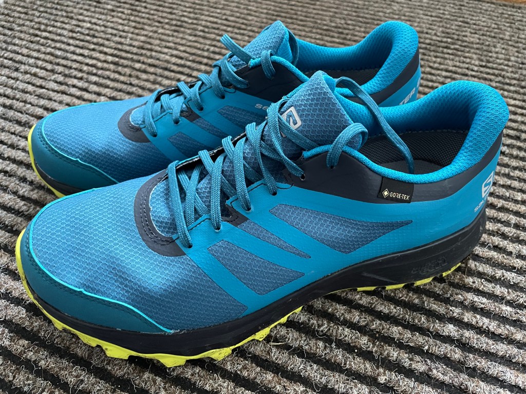
Having spent most of this year tackling this quandary, the solution came to me while walking some of the ‘Wainwrights’ back in June. While ascending ‘Bleaberry Fell’ in the full heat of the midday sun, a fell runner sped past me. The answer was there, trail running shoes!! After hitting the interweb, I’ve now swapped my Scarpas for Salomons.
Saloman Trailster 2
This Gore-tex trainer (although brighter than I expected) is what I have chosen. To accompany these, I have bought some wicking trainer socks that have a thicker sole to allow for more cushioning. To stop stones and grit getting in, I’ve also acquired some trail gaiters.
I’ve taken these out for a test drive and the waterproofing works, the only slight niggle is when I’m stood still, it feels like it digs slightly into the underside of my ankles; I think this will go as I wear them in.
My next task now is to take them out on more walks and to book flights and accommodation for the 28th! I think I can get excited now?!
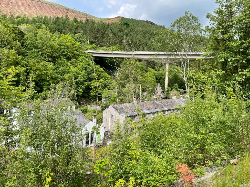
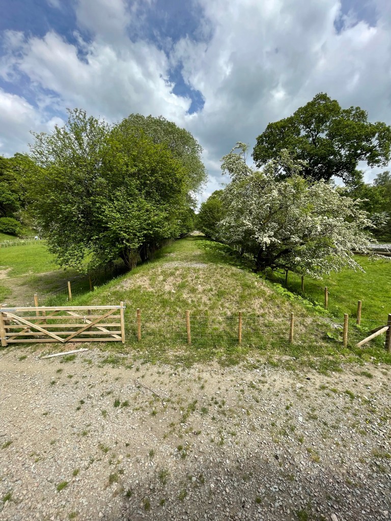
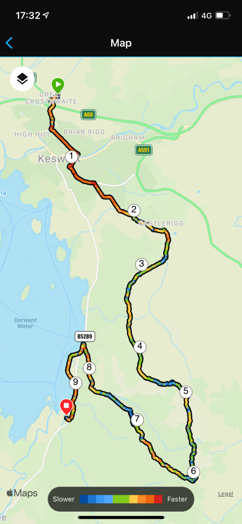
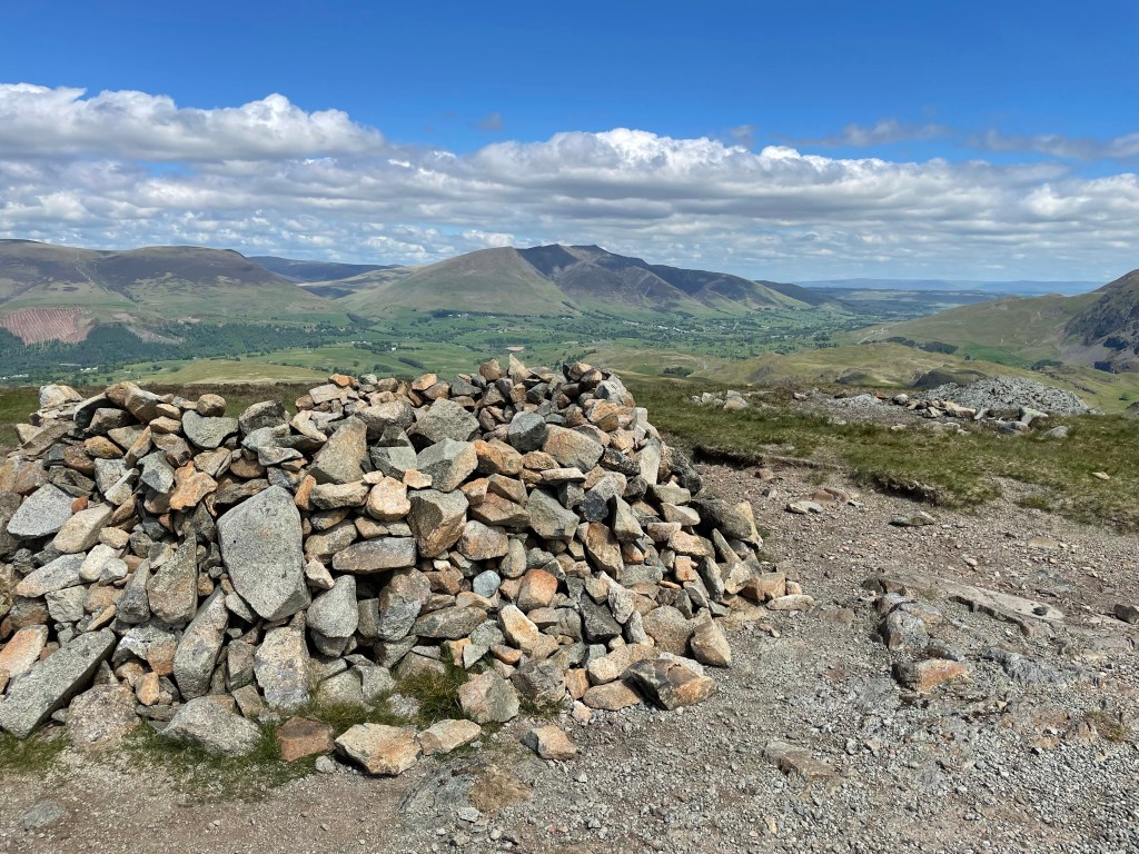
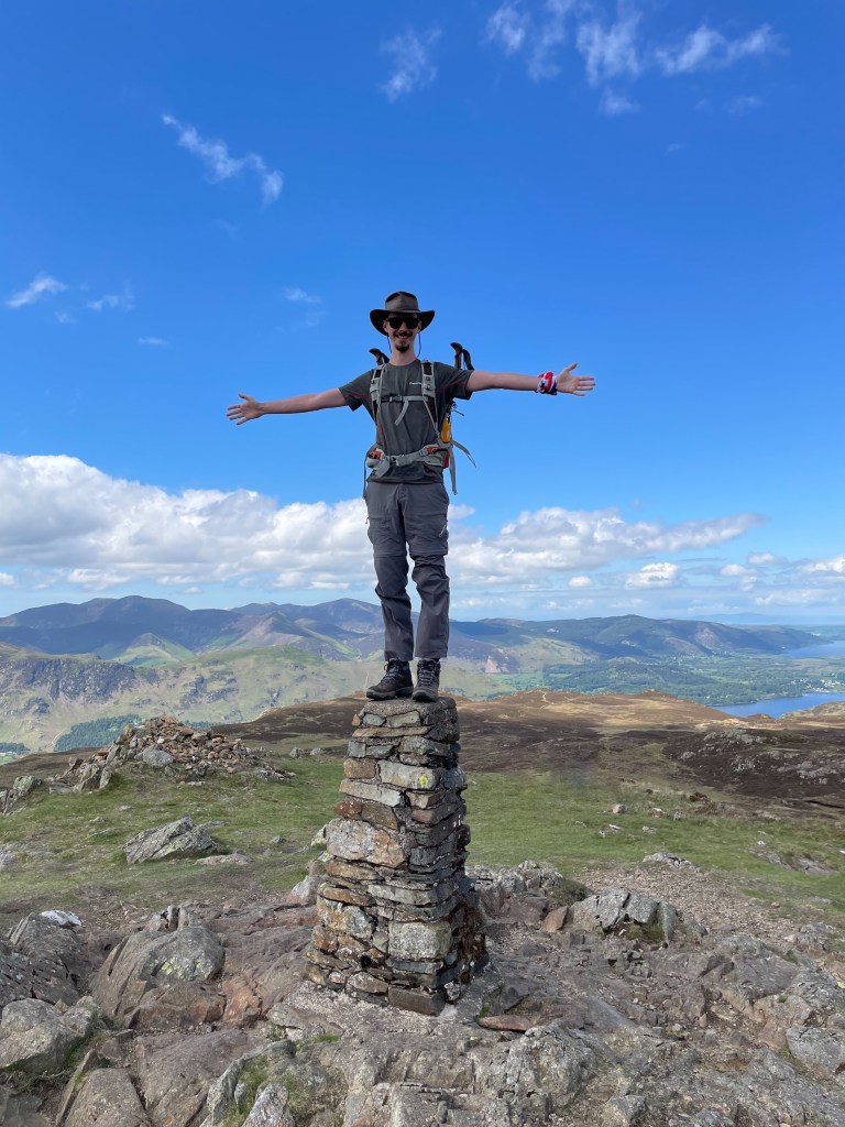
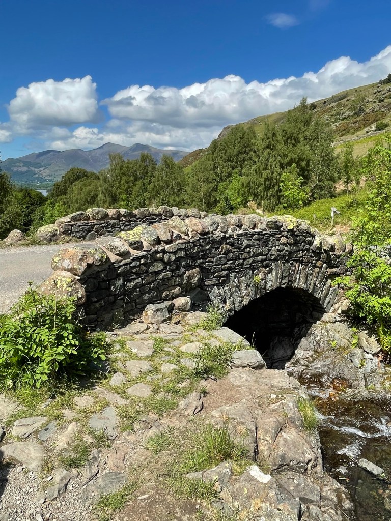
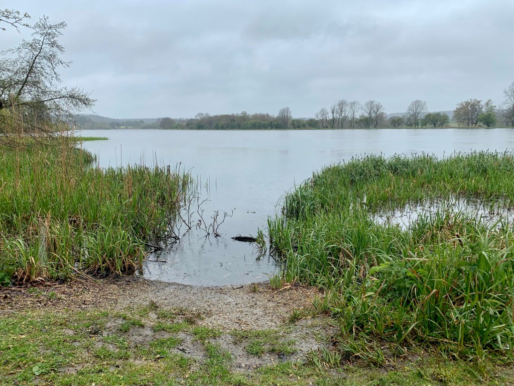
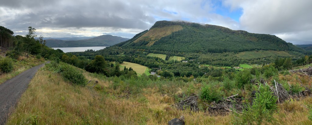
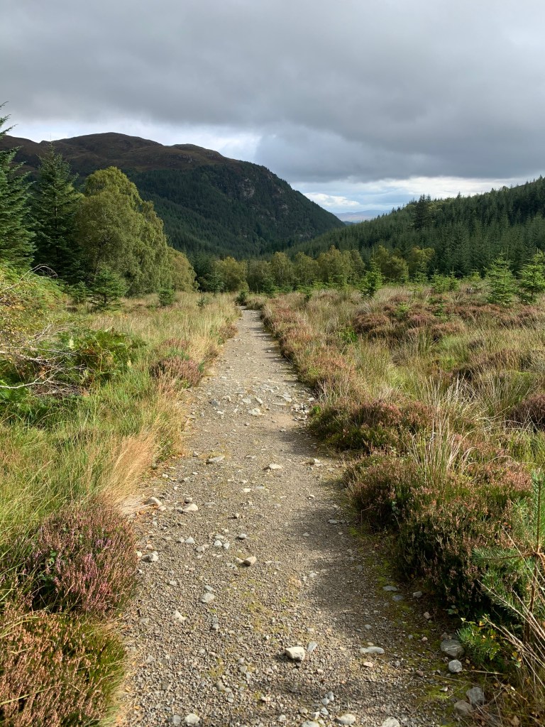
After the energetic hiking over the central fells the day before, we opted for a gentle walk to the Castlerigg Stone Circle via the old railway line that once connected Keswick to Penrith.
The Route
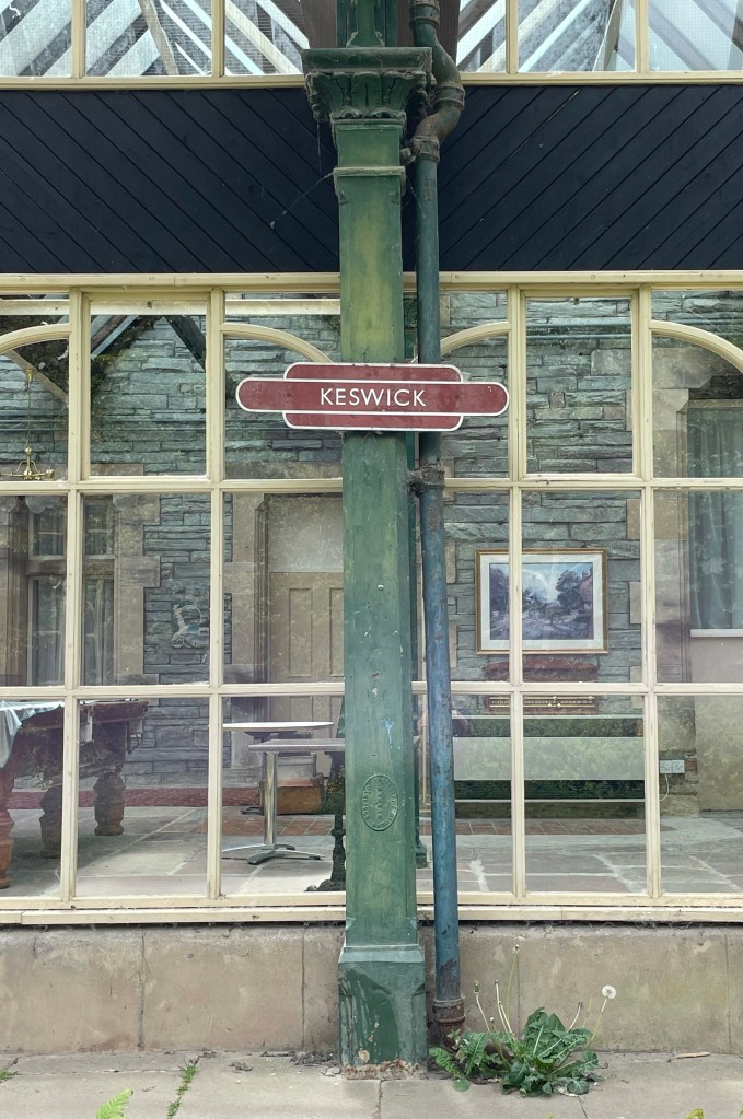
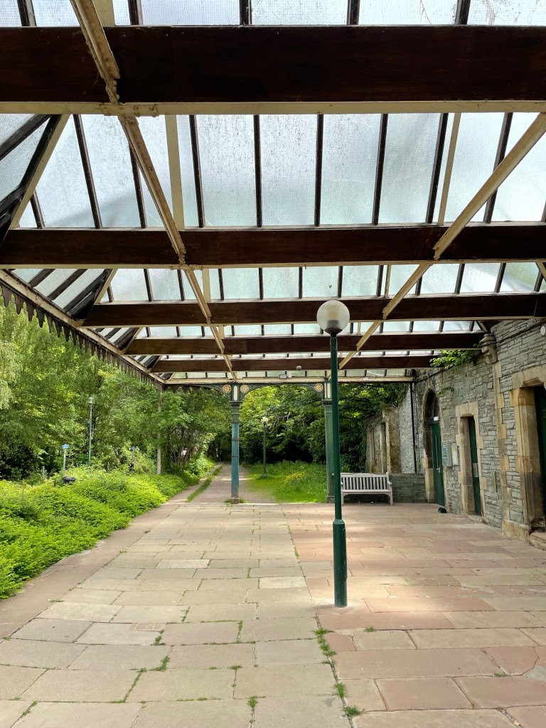
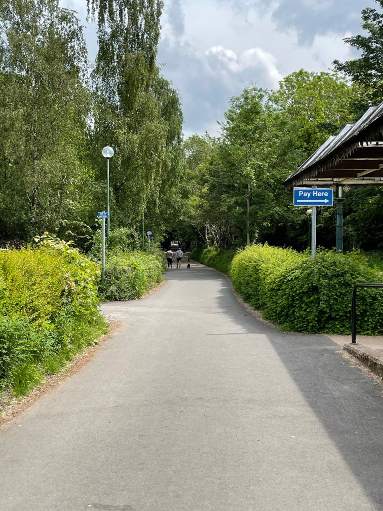
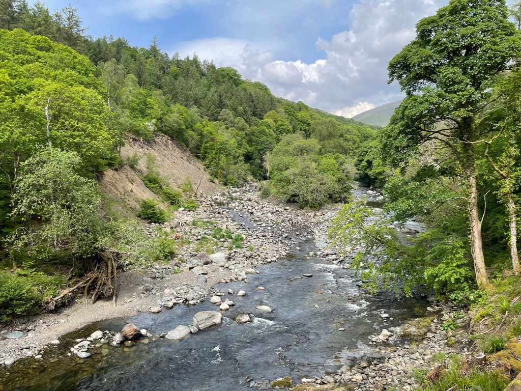
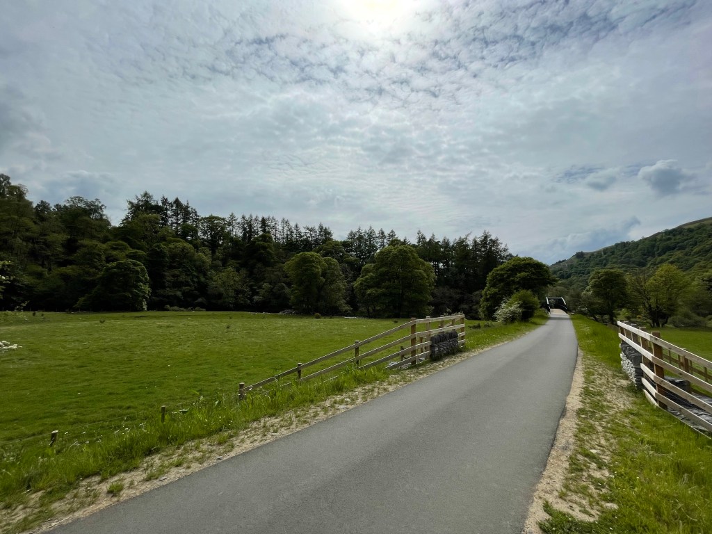
The starting point for the day was the old Keswick train station situated behind the swimming pool. The tracks have now been replaced with freshly laid tarmac, making it ideal for cyclists and easy walking.
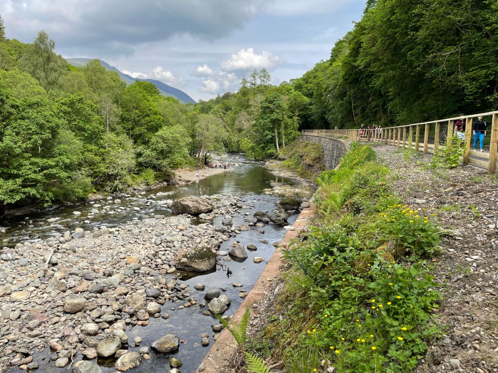
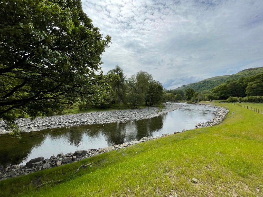
The path leads to Threlkeld following the River Greta, using the old Victorian bridges; the last remanence of the railway line. (Up until 2015) Just going to Threlkeld and back is a pleasant walk, however we will be leaving this path to head to Castlerigg.
Waiting for the TrainPlatform
We managed to get 750 metres down the path when we passed the Twa Dogs Inn. Still having the gorgeous weather we thought it would be rude not to have a cheeky drink.
We grabbed a table to the front of the pub and watched the world go by along the main road leading into Keswick.
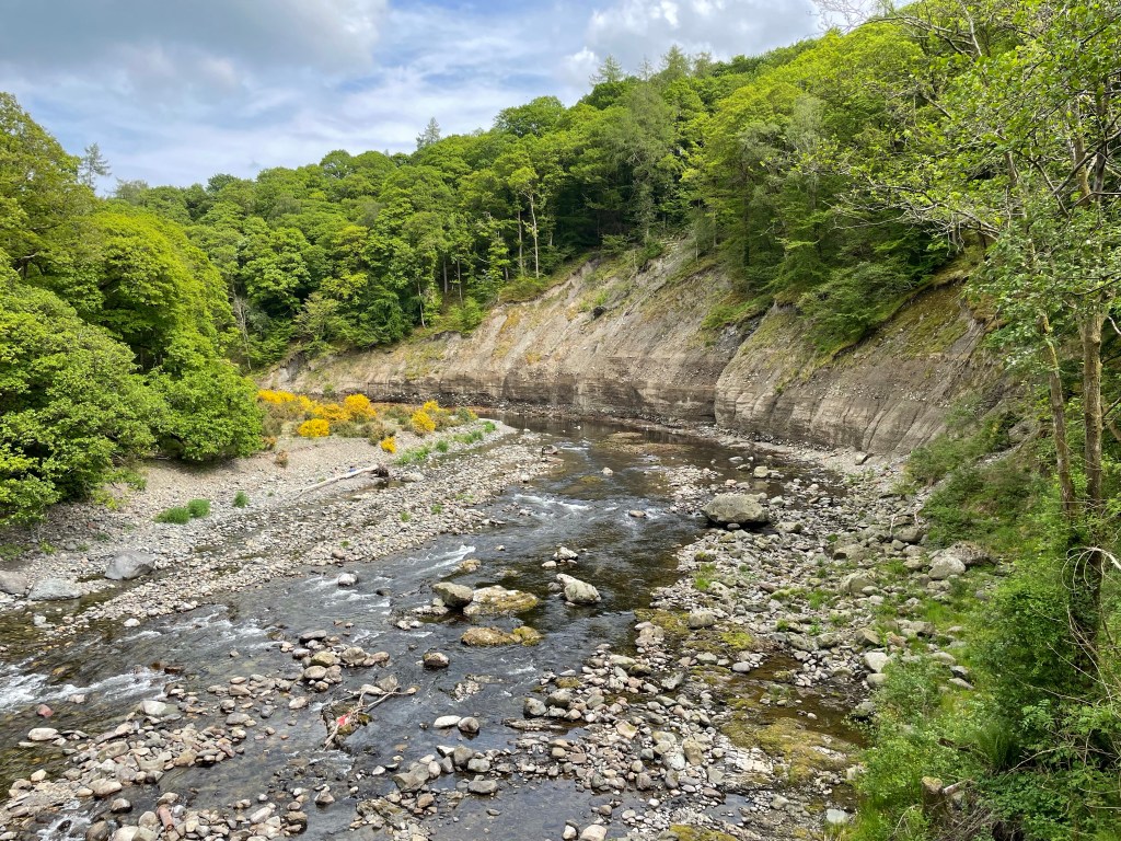
We returned to the track and continued our journey. I last walked this route in 2014, however the following year, the old bridges were destroyed during Storm Desmond, making the route inaccessible.
Cockermouth was one of the most devastated villages in the area due to the severe flooding that followed in the wake of the storm. Keswick didn’t escape unscathed, most notably along the River Greta.
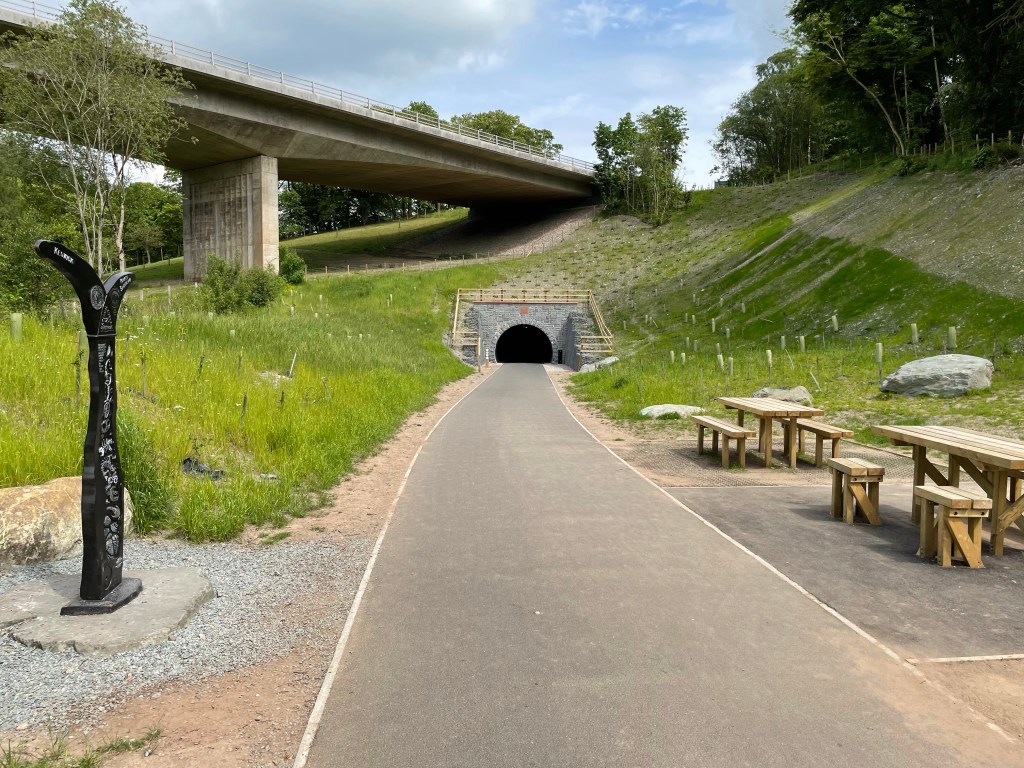
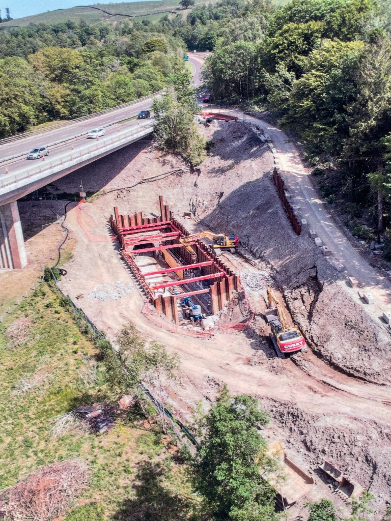
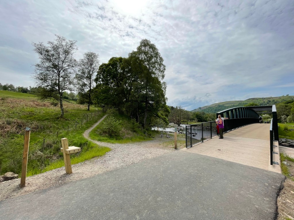
The whole route had to be rebuilt to reconnect Keswick back to Threlkeld; it was reopened in 2020 at the cost of £8 million. The path used to go under the flyover that was created so the A66 would bypass the town.
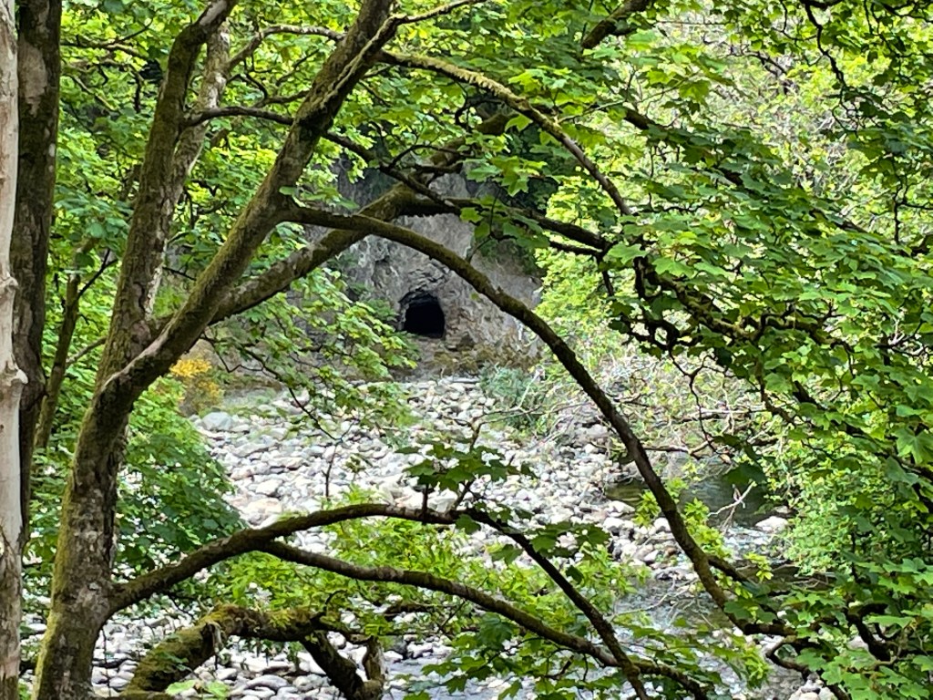
In the building of the flyover, the Bobbin Mill Tunnel was filled in and buried to ensure the foundations were solid enough to support the this engineering feat. This was excavated as part of the reconstruction, now forming a feature on the route.
A66 BypassBobbin Mill TunnelExcavation
The cool air inside was a welcome relief from the now hot midday sun. You could still see the soot stains on the roof of the old brickwork from countless of steam trains that once travelled this line.
Emerging on the otherside you are presented with lofty views of the river where you are able to see the entrance to a disused Victorian graphite mine. Graphite was mined here primarily for military moulds, but also pencils; hence the pencil museum in Keswick.
It was nestled in the bank down stream and you had to duck down to see through the branches of the trees that overhung the banks, to spy it.
River GretaRiver GretaGraphite Mine
We pressed on following the river, crossing the recently rebuilt bridges that were swept away by Storm Desmond. Still six years later, you can see the evidence of the devastation caused by the flooding.
The river banks are lined with huge dead trees and the exposed earth from landslides, are a constant reminder.
We left the river briefly as we crossed farmland that also didn’t escape from Desmond. The path has been diverted to skirt round the old route.
Remanence of the Old Path
Eventually we met the river again for the last time on this route, as we veered off the path to head towards the crossing point of the A66.
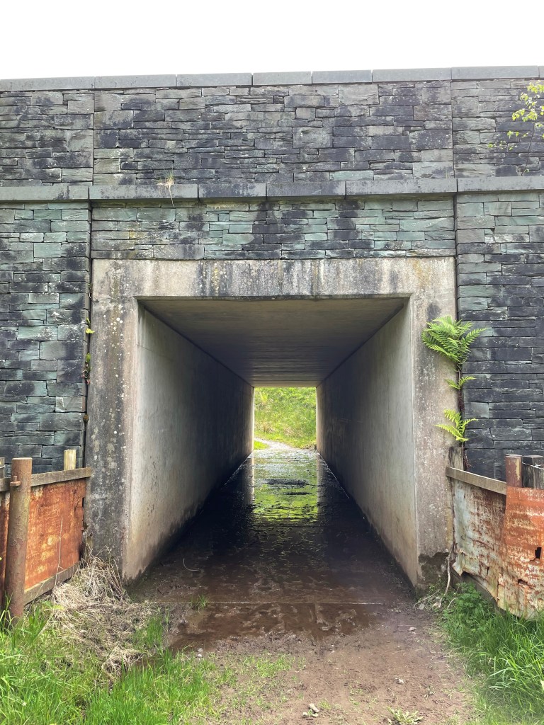
This was just after a small train stop that is now used as a resting area for weary walkers. We crossed a couple of fields in the shadow of Blencathra to reach the underpass.
Walkers StopPath to A66BlencathraMuddy Underpass
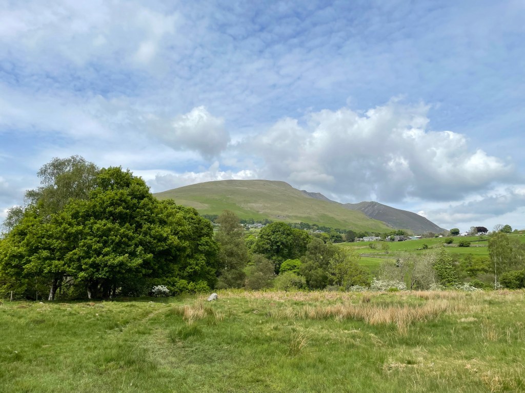
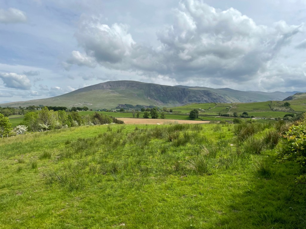
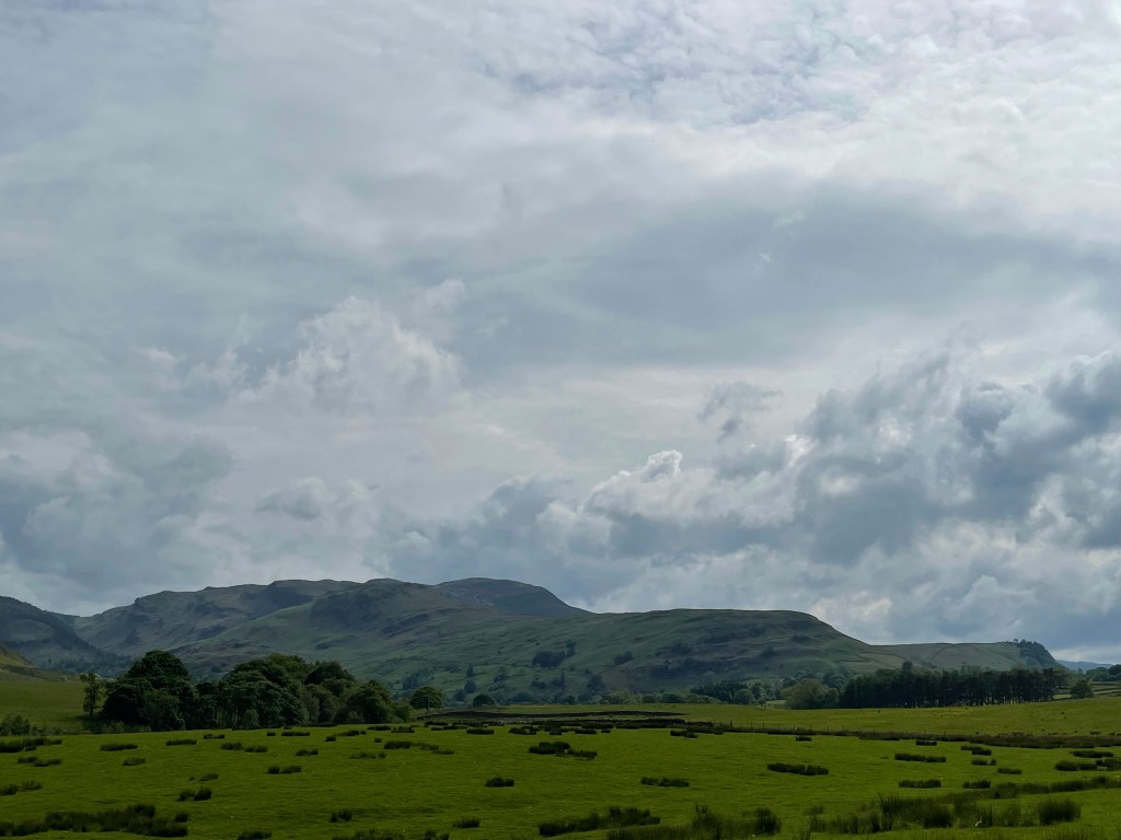
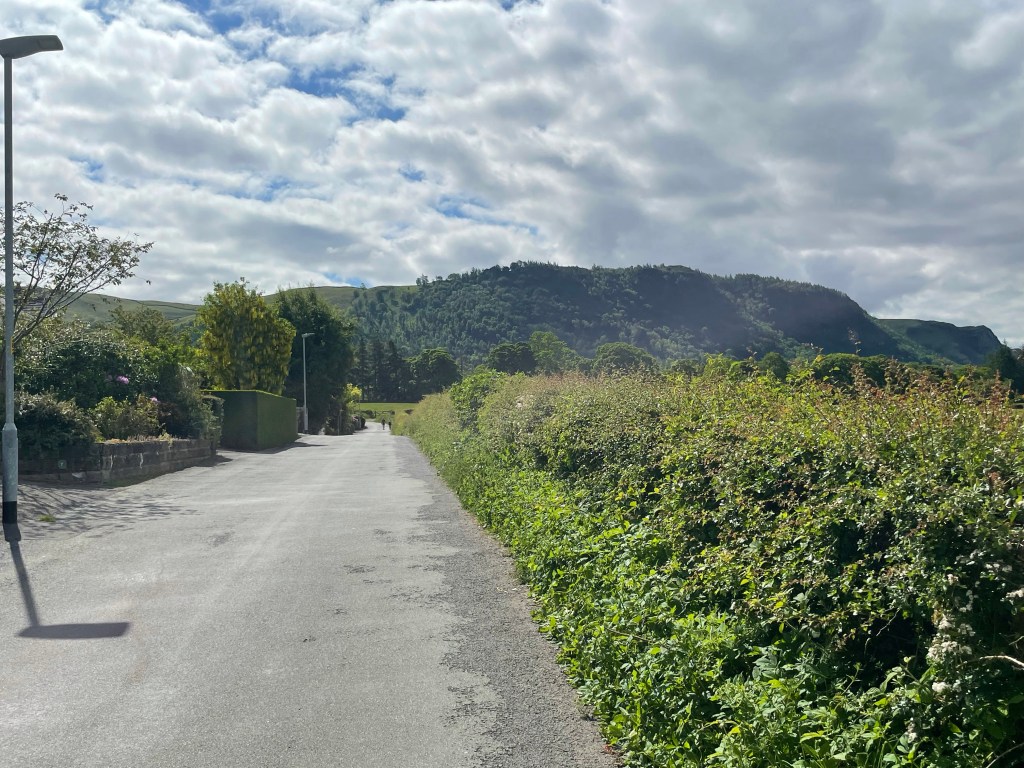
After wading through the muddy and damp underpass to reach Burns lane. Turning left; views of Clough Head dominated the landscape. Continuing along the road following the signs for the climbing centre and the stone circle, the scenery changed again.
This time we had views of the Wainwrights we conquered the day before. Passing the climbing centre on our right, we came upon a glorious sight. An ice cream van! The prospect of a 99 flake was too much to pass.
After buying a round, we sat in the surrounds of the Castlerigg Stone Circle, to feast on our quickly melting treat. We were not the only visitors to the attraction; plenty of people meandered around the formations, enjoying the moment.
Clough HeadEerie TotemsBleaberry Fell and Walla Crag
Now with sticky hands from the ice cream melt, we left behind the stone circle making our way back into Keswick. We rejoined the disused railway line to complete our walk where we began, at the old train station.
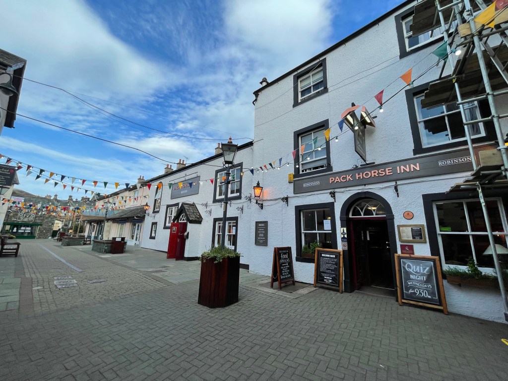
Being very peckish at this point, we strolled into town to find somewhere to eat. Luck was on our side as we found an empty table at the Pack Horse Inn.
The weather this weekend could not have been any better. Perfect for the beer festival, had it not been postponed. Knowing our luck it will be a mud bath next year!
After spending Saturday catching up with some friends we hadn’t seen since before lockdown 1.0. We planned for a Sunday hike.
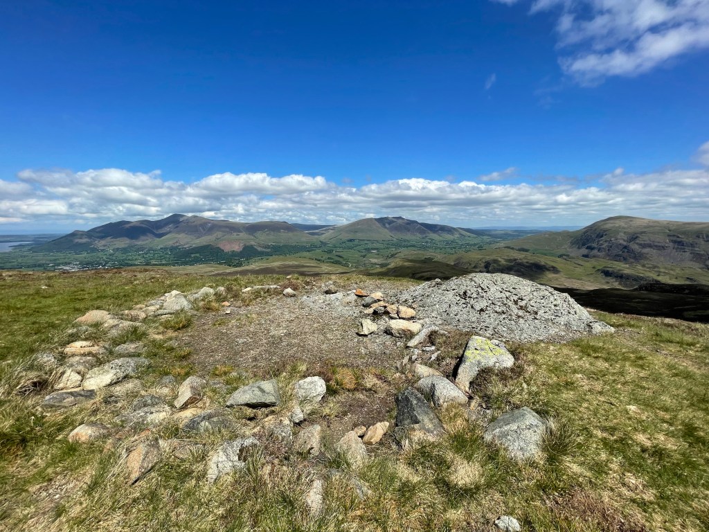
After a late start (we were a bit sluggish from the previous day’s festivities) we headed for the hills. Our aim was to summit Walla Crag, Bleaberry Fell and High Seat. Three Wainwrights within the Central Fells of the Lake District.
We left the hustle and bustle of Keswick behind, skirting around the central thoroughfare that had been teeming with holiday goers all weekend. With Boris’ international travel embargo, everyone is spending their vacations within the beauty spots of the UK. Since the lakes is the by far the most scenic, it’s a magnet for visitors from every corner of the UK.
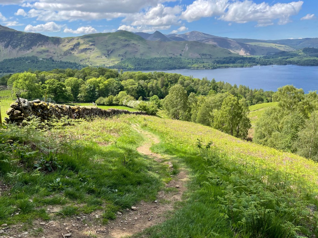
It wasn’t long before we started the footpath up to Walla Crag. It begins at a small cafe at the bottom of Springs Road; a small residential lane overlooking Castlehead Wood. The footpath takes you through a small woodland called Springs Wood; gently rising towards Castlerigg. You eventually turn right onto a country lane that shortly forks off towards the more strenuous stretch to Walla Cragg.
Walla Crag in the DistanceSprings WoodRight Hand Path to Walla Crag
The path leads down to a small ford and after crossing, begins the ascent. This certainly got the blood pumping; especially with the heat. Every time we caught the cool breeze we took a breather and admired the view.
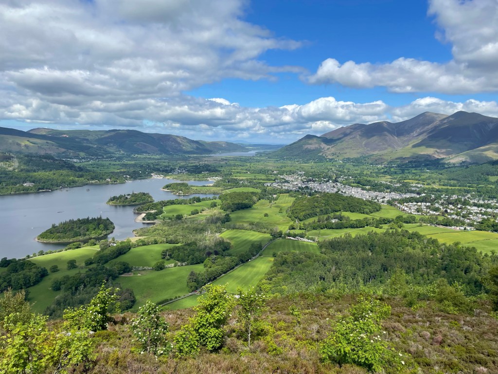
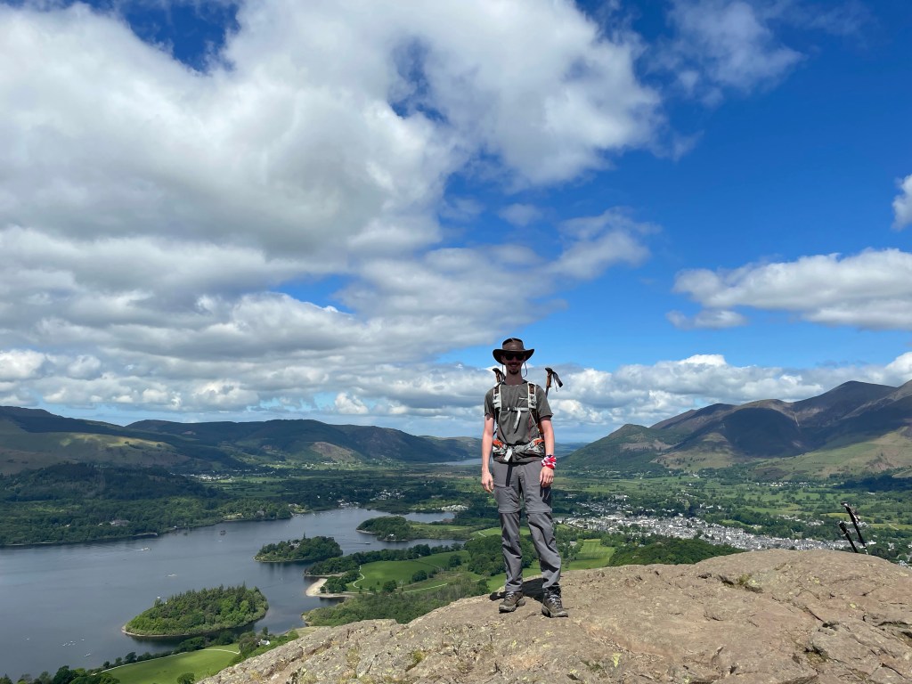
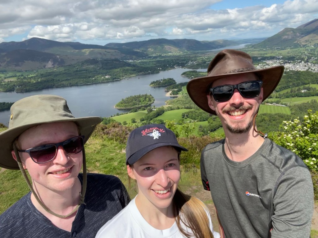
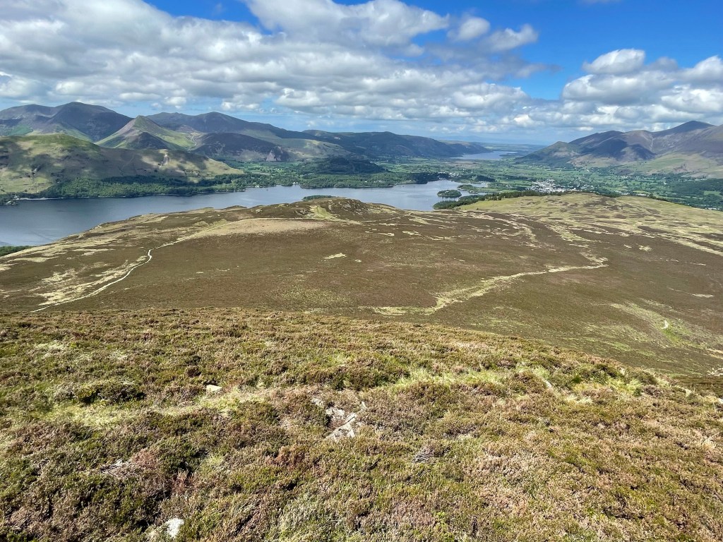
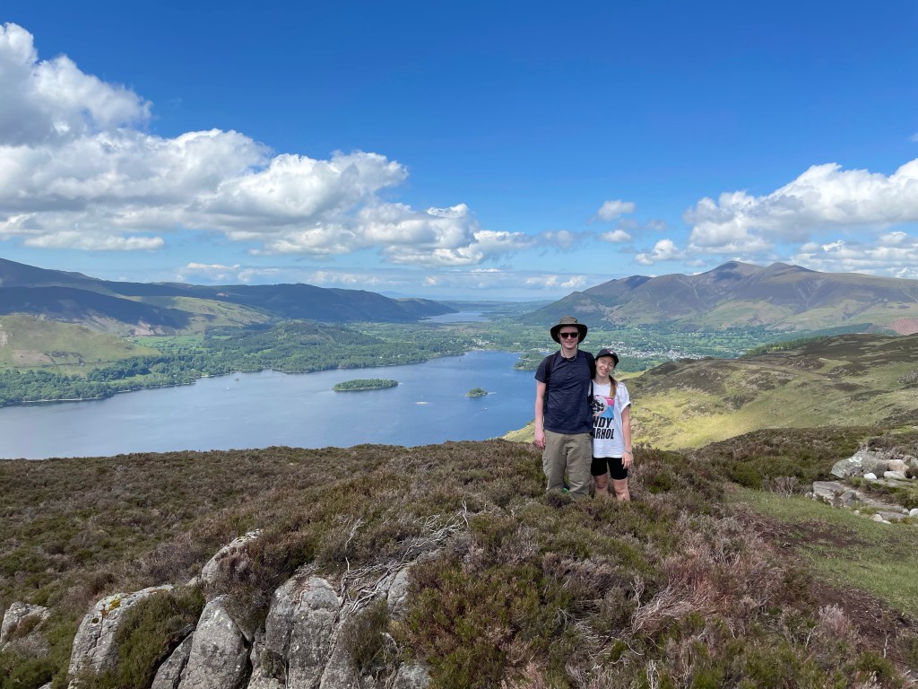
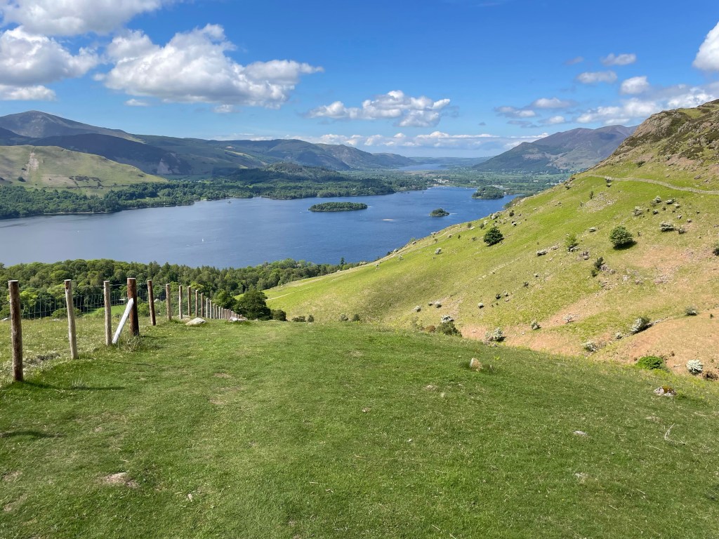
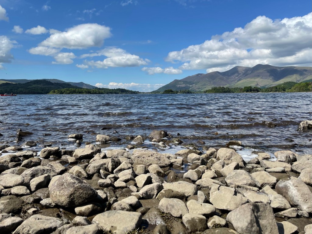
It wasn’t long before we were at Walla Crag where fellow walkers had assembled to gaze over Derwent Water and Keswick.
Walla CragWalla Crag SelfieDerwent Water
We took a well needed water break before moving on to our next Wainwright. We left the small crowd of walkers behind soaking up the views. We climbed over a small wooden stile to join the main footpath to Bleaberry Fell.
Bleaberry Fell Pictured in the Centre
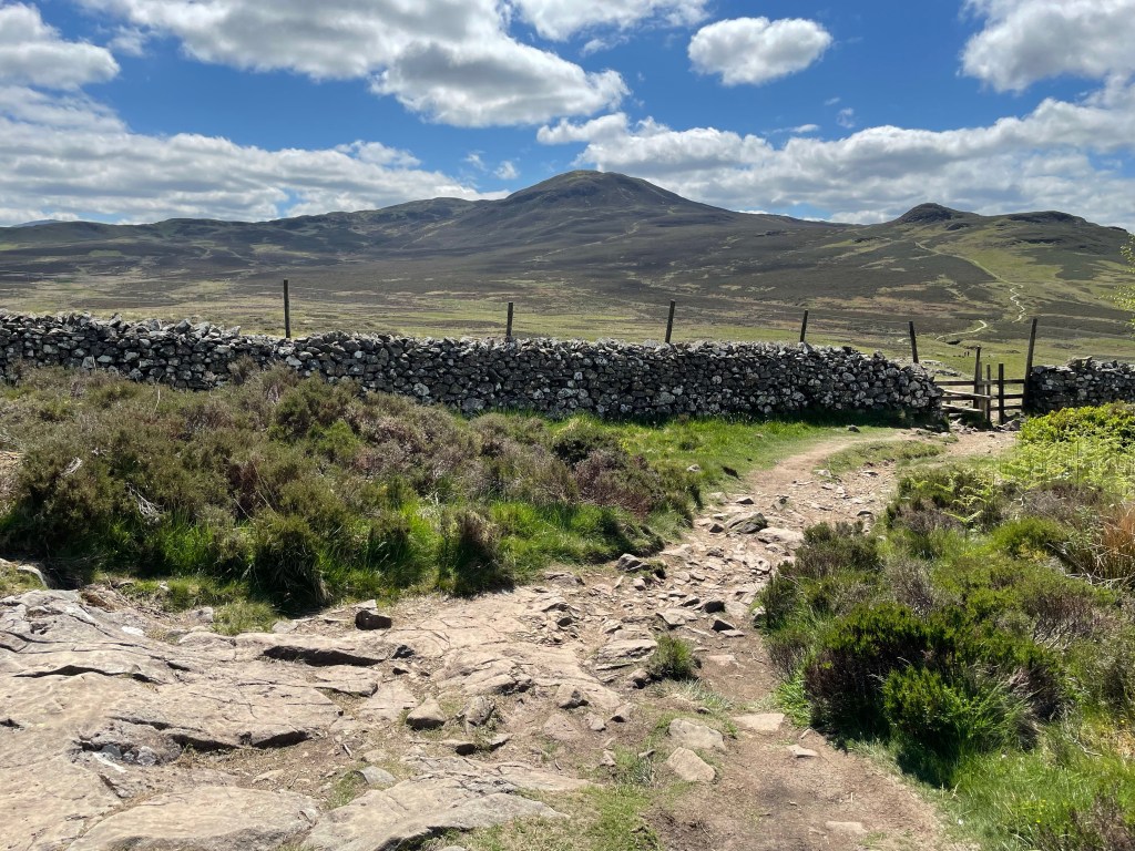
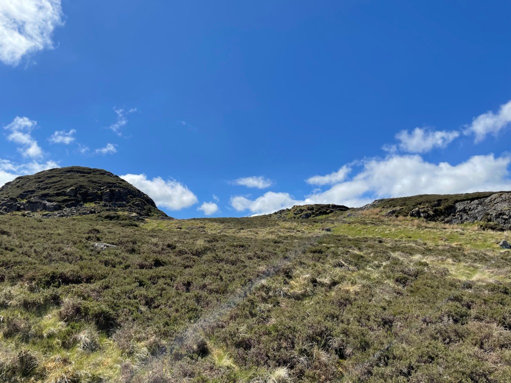
The path wound through the heathland on a shallow incline, passing the ruins of a dry stone sheepfold before we reached the foot of Bleaberry.
The incline steepened at this point, but this time we had a welcoming breeze to keep us cool all the way to the top. Luckily this was our last steep ascent of the day. We had the peak to ourselves and only joined briefly by a man and his dog.
Looking Back to Walla CragBlencathra in the DistanceSkiddaw and BlencathraPete’s FortSuluki Lurcher Pictured with her Owner to the Right
The dog was a Suluki type Lurcher, that stood on top of a small boulder looking out towards Blencathra. I was convinced she was breathtaken by the views and was admiring the landscape!
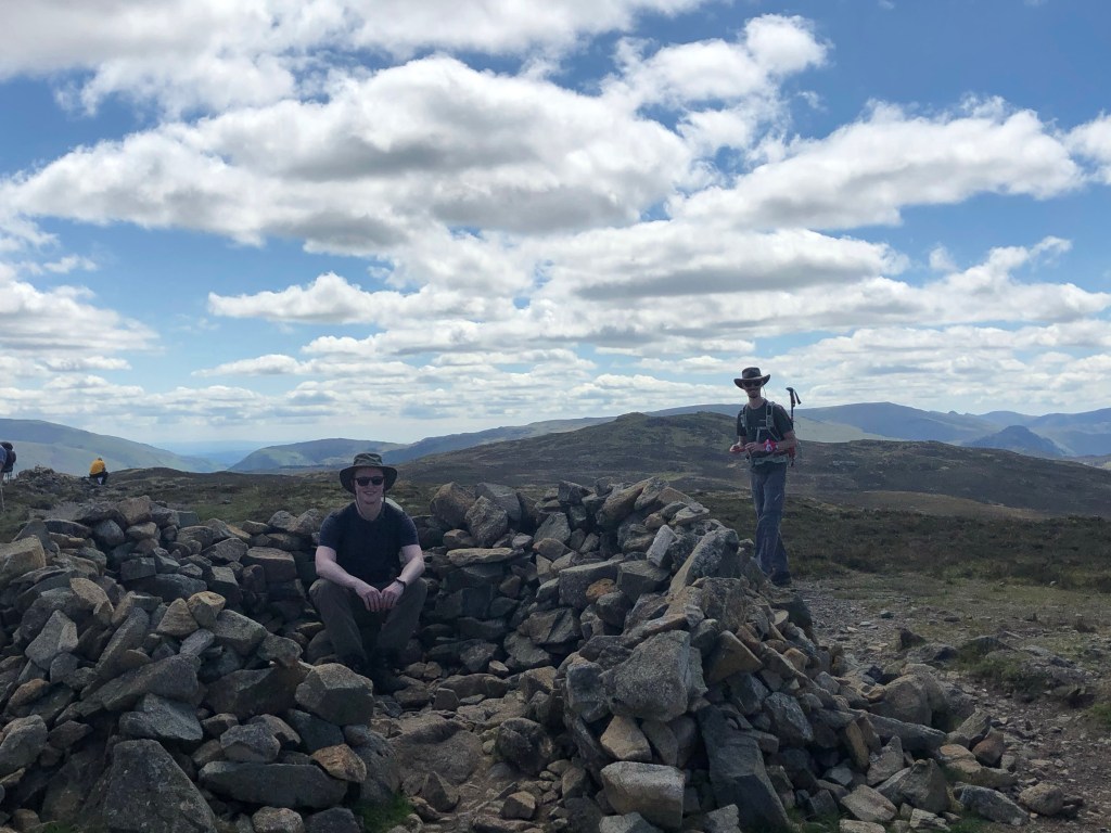
We ate our packed lunches around a small dry stone shelter that marked the summit of Bleaberry. After fueling up we set off towards our last Wainwright for the day; High Seat.
This section was mostly flat until a small scrambling section to the summit. The footpath crossed more heathland with patches that were very boggy; we strategically used small stepping stones to navigate the worst sections.
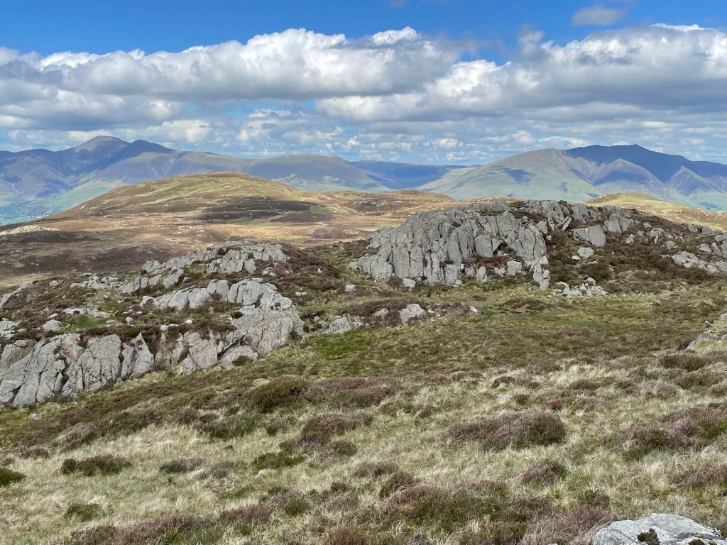
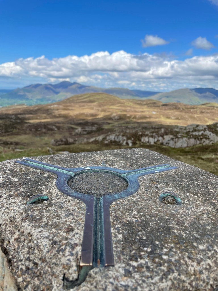
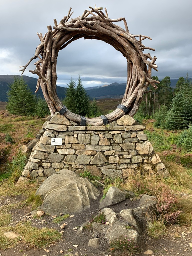
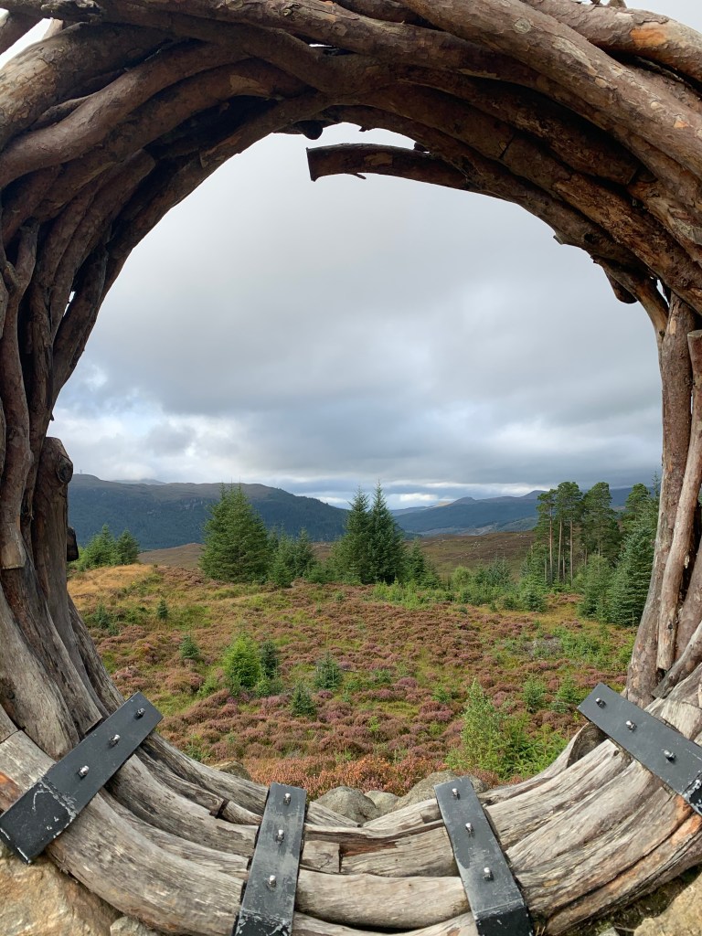
As we approached High Seat we came across some rock formations that caused us to pause for photographs.
Rock Formations
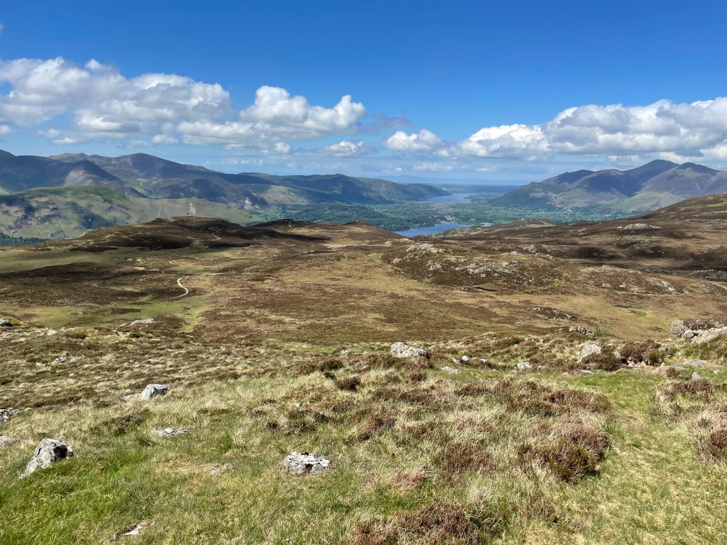
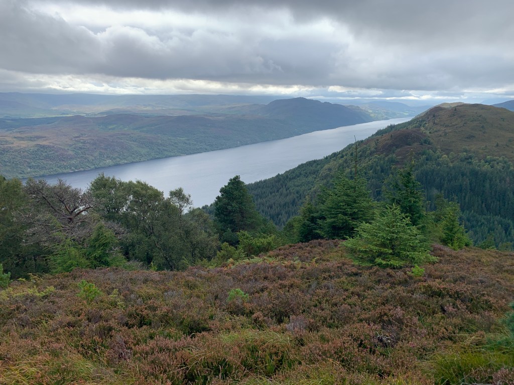
After a tiny bit of scrambling we made it to High Seat, our highest point on the hike. We took another short water break admiring the landscape before we followed the footpath down to Derwent Water.
High Seat Ticked OffLooking Over to Derwent Water
The descent crossed more boggy heathland until we made it to the stone footpath that you can see in the picture above. After spending the whole day in the sunshine, we were starting to fantasize about an ice cold glass of lemonade.
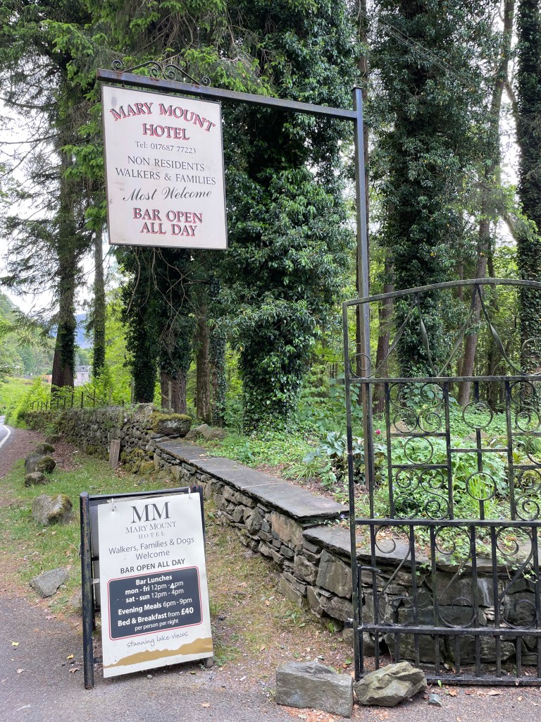
At this end of the lake, there are two watering holes we could take advantage of; the Lodore Falls Hotel or the Mary Mount Hotel. The promise of a lemonade spurred us on.
The Descent Quickened from this Point
The gentle decline came to an abrupt end as the footpath stopped at the precipice of a small crag. To navigate this bit, it involved some rock climbing!
I led the way, to find the path down and guide my companions on the placement of their footing. It was a bit daunting at one point but we reached the bottom all intact.
Rock ClimbingGuidingPete Survived
Having safely navigated the north face, we had the knee burning stage of the descent. This is the least pleasant part of any hill walking, but part and parcel of this pursuit.
We left the fells behind and crossed a stile on to farmland where a horse was enjoying the sunshine. We continued following a barbed wire fence and a dry stone wall until we reached the road that led down to the lake.
Sunbathing HorseFollowing the FenceAnd the Wall
We arrived at the road where a numerous footpaths converged, over a quaint stone built bridge. Several walking parties were milling around cooling their feet in the stream and basking in the sun.
Ashness Bridge
We followed the single lane road to the lake shore and headed south towards the hotels. The last time I was in the lakes, I walked the 10 mile circuit around Derwent Water; in the rain! The polar opposite of today.
I couldn’t resist sending a picture to my mate of the view, who was currently at work; he was part of the party that undertook that sodden trek two years ago with me.
On the Shore
We called in to the Mary Mount Hotel for that well needed glass of lemonade. A perfect beverage to end the walk. After enjoying the shade and a slight breeze in the beer garden, we walked the short distance to the bus stop to catch it back to Keswick.
The second lockdown imposed on us here in the UK over the winter period, has been arduous. It has heavily impeded our freedoms and our ability to get out rambling across the countryside; I narrowly avoided cabin fever!
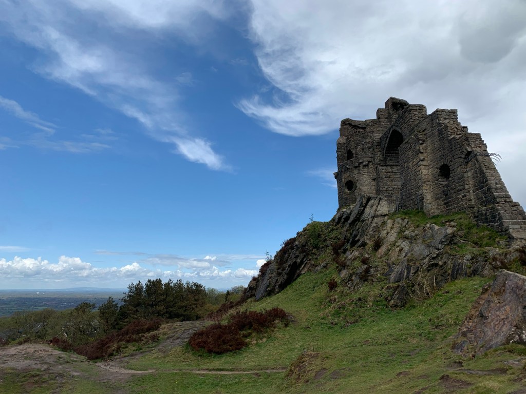
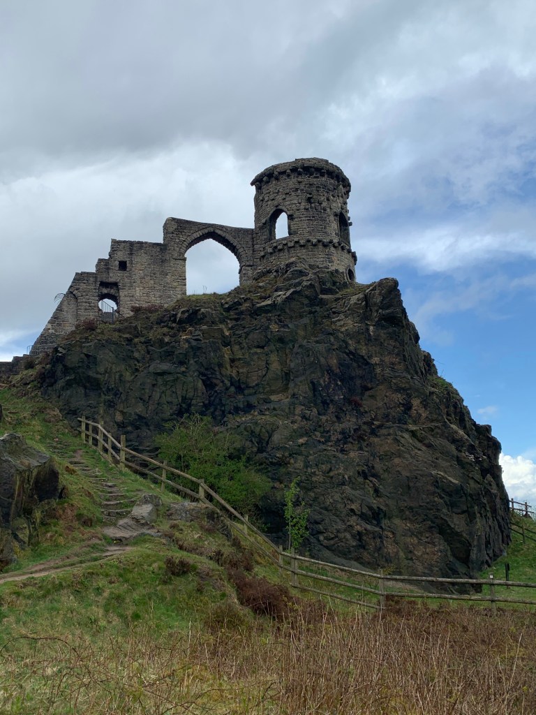
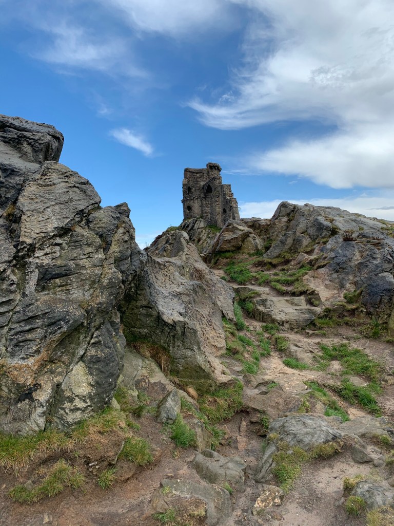
The beginning of May saw the easing of the restrictions and I took advantage of a week’s leave by taking a short trip to Mow Cop on the Cheshire/Staffordshire border, calling in to see my Dad on the way.
This folly was built as a summerhouse in 1754 by Randle Wilbraham of Rhode Hall; purposely built to mimic a castle. In 1937 it was handed over to the National Trust who have looked after it since.
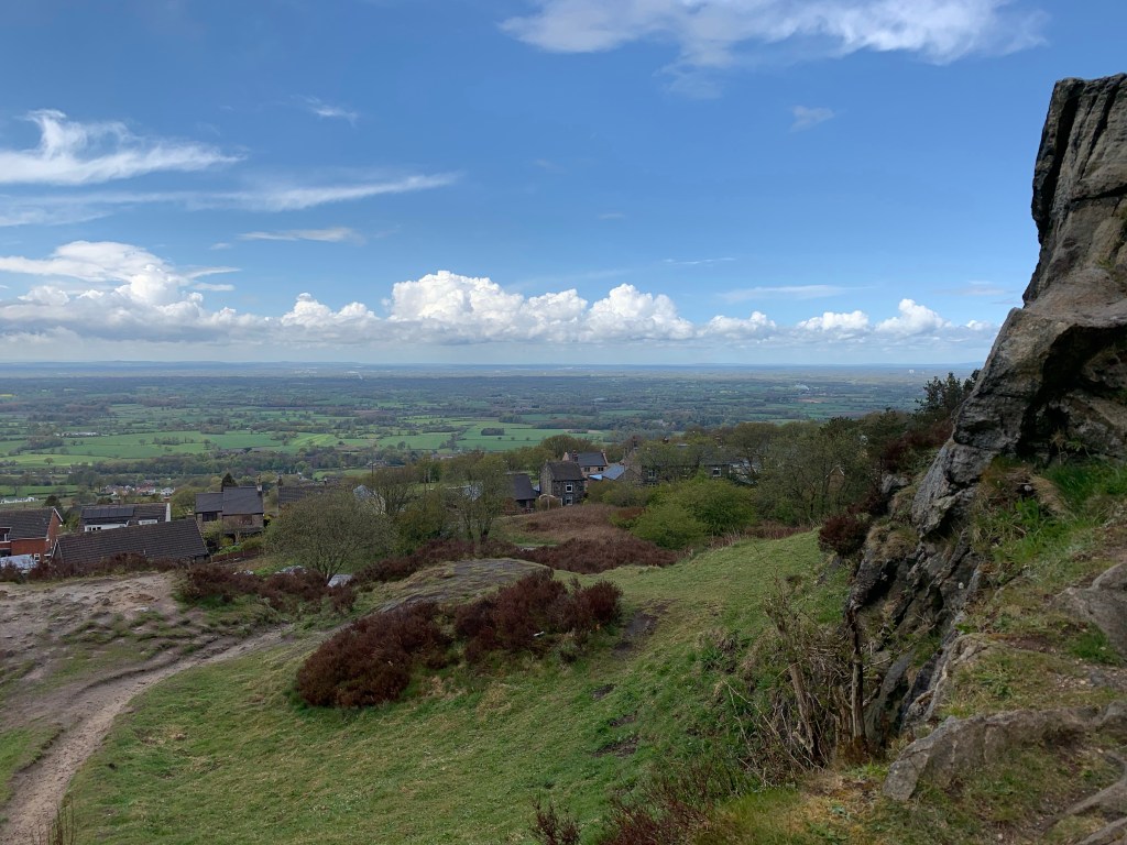
It was a wet, windy and cold day. In keeping with the unseasonably cold weather we were experiencing. The cop seemed to be on a weather front; looking towards Cheshire there were blue skies but dark and stormy towards Staffordshire.
View Towards CheshireView Towards Staffordshire
From here I took at trip to the other side of the Pennines to see my brother and his partner, whom I haven’t seen since Christmas 2019.
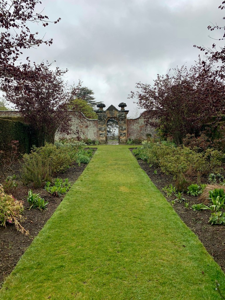
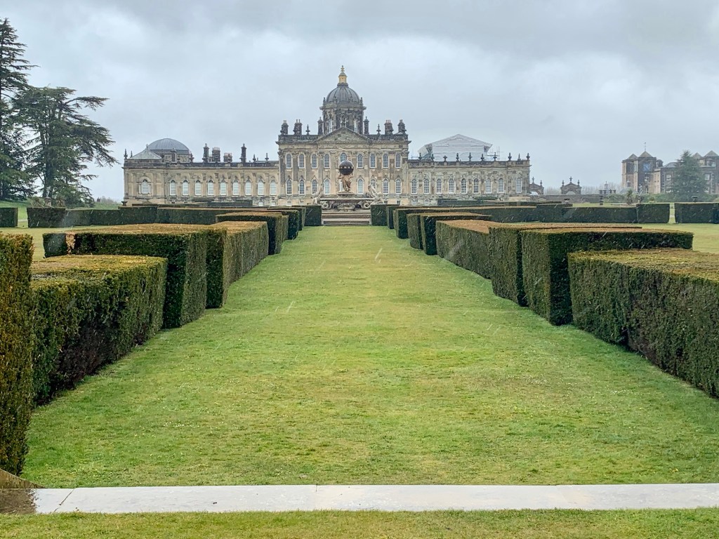
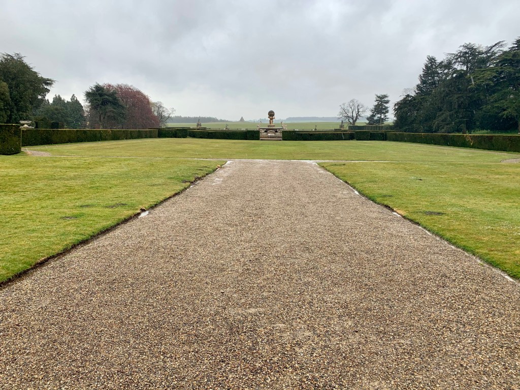
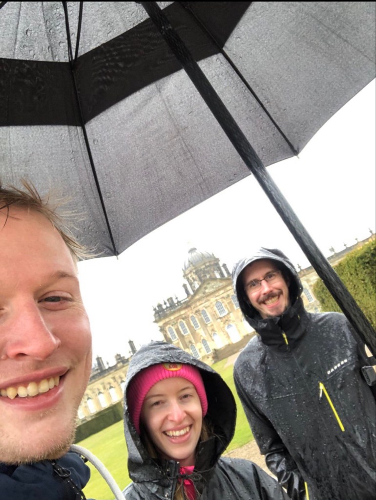
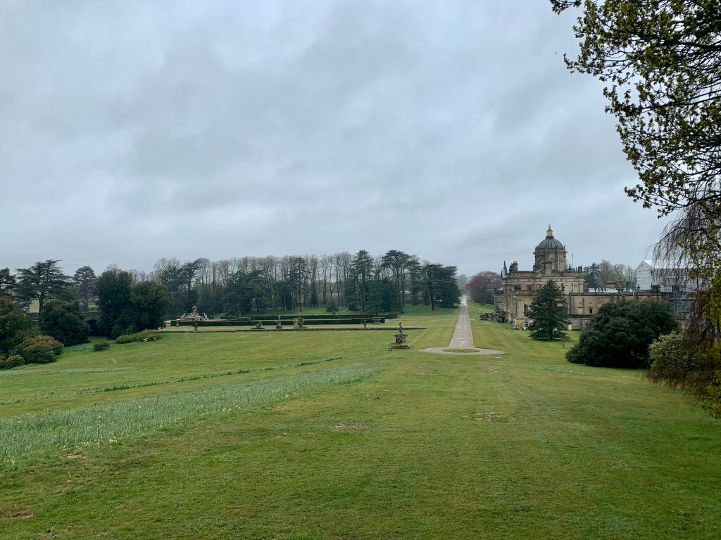
The plan was to do some walking but the bad weather continued it’s damp theme. So we decided to visit Castle Howard.
Castle Howard
If you are fans of the TV series ‘The Great’, you may recognise some of these pictures, as the estate is the setting for parts of the show.
We first wandered around the rose garden, the flowers were not in bloom yet and the gloomy weather gave it a drab look.
Gardners House
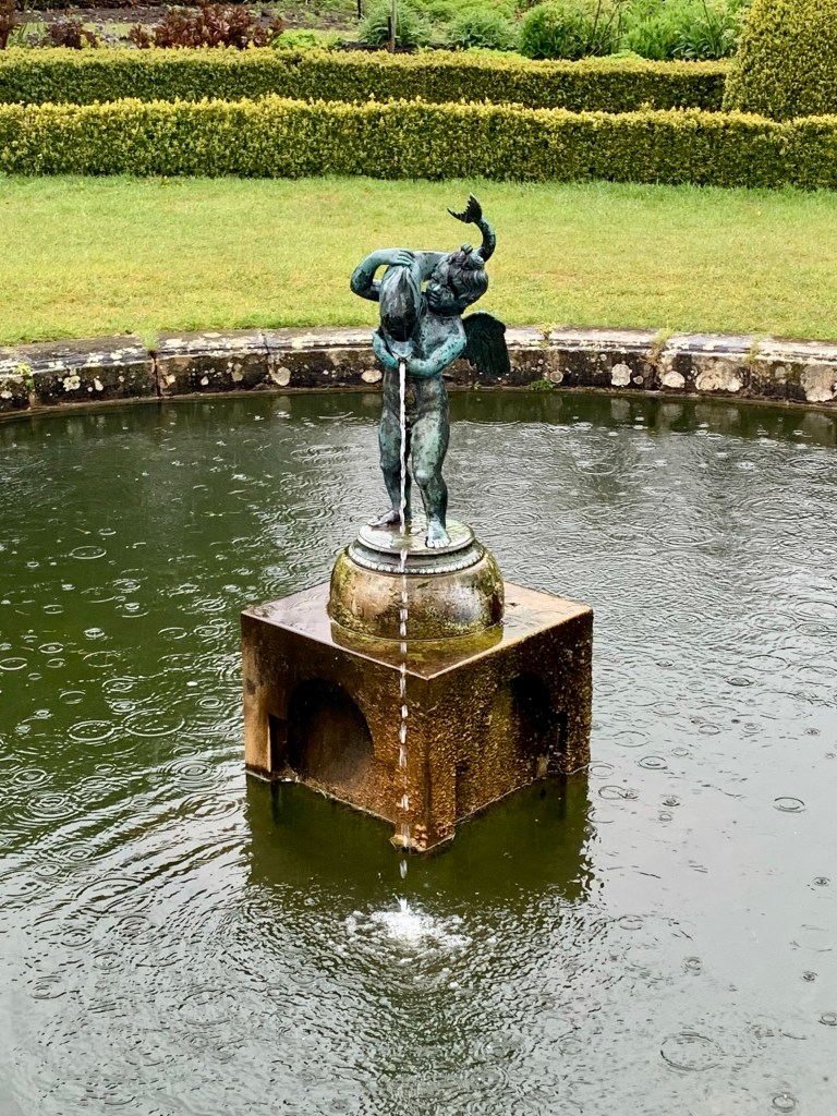
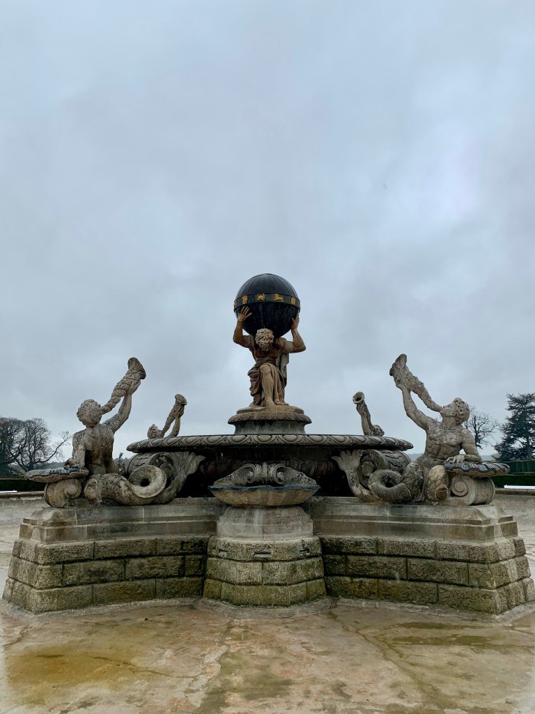
We continued walking around the grounds coming up along the Atlas Fountain that the rear of the castle over looks. This fountain features a few times in the TV show.
Atlas Fountain
Unfortunately due to Covid restrictions we were unable to go inside the Castle; it would have been nice to see the interior, for the very least to dry off a bit! I stupidly decided not to don my boots, resulting in my trainers being completely wet through!
Drowned Rats
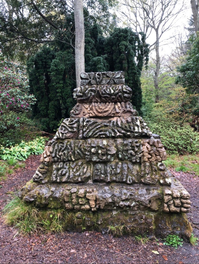
Residing to our wet fate, we continued to meander through the grounds, to sound of my footwear squelching. On our now very soggy map, there is an Aztec pyramid within a wooded part of the estate. With the promise of an exotic building, we continued our exploration.
After about 30 minutes winding our way through ‘Ray Wood’ we stumbled across the the pyramid. It was some what of an anti-climax, as I was expecting a large building nestled within the wood.
Aztec Pyramid
However it was a collection of decorative bricks! We then made our way to the Boathouse before following the path past the front of the castle.
The views were great despite the weather. How the other half lived back in the day! The opulence on show starkly demonstrated the separation of those with money and those without it.
The amount of wealth the Howard family must have possessed when it was first built in 1701 is certainly evident. A whole different world!
Having seen all we could, we headed back to Leeds and my whirlwind tour visiting my family came to an end; I took the long drive back south to Northamptonshire.
Fast forward 3 weeks and further lockdown restrictions eased as June arrived. The first weekend in June marks the start of my annual pilgrimage to the Lake District, for the Keswick Beer Festival. Unfortunately for the second year running it has been postponed due to Covid.
Having already booked accomodation in advance and not to let an opportunity of spending time in the most scenic part of England pass by; we are still heading up. I aim to conquer some more Wainwrights and enjoy the return of our freedoms!
Bank Holiday Monday couldn’t arrive soon enough. I shoved my hiking clothes in my trusty Berghaus Leviathan duffelbag, chucked my faithful Osprey Talon backpack into the boot of my car and headed to my Mum’s in Warrington where I am due to meet my Brother on Friday, to travel up together.
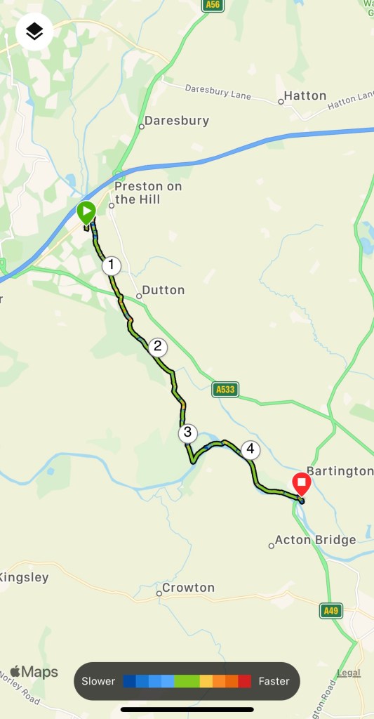
The sunny weather followed me up as well! I couldn’t resist making hay while the sun shined and went on a short walk along the Bridgewater Canal to the Leigh Arms, at Acton Bridge with my Mum.
As we approached the Preston Brook tunnel, the damp cold air from the tunnel met the scorching hot air, creating an eerie mist over the water.
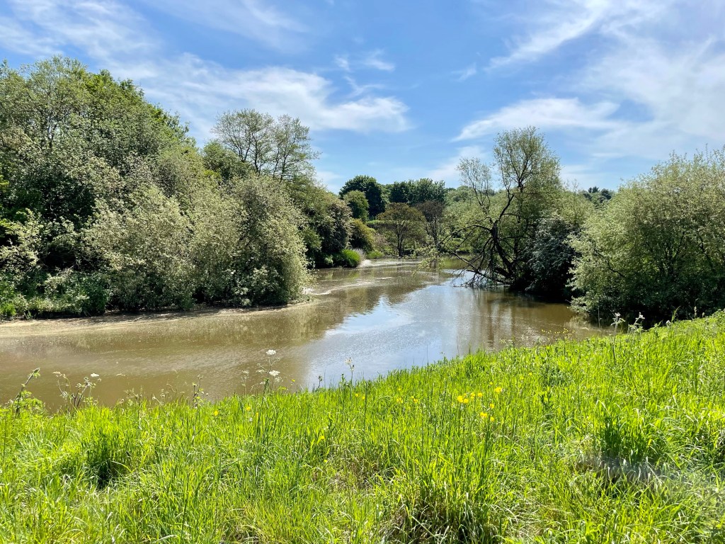
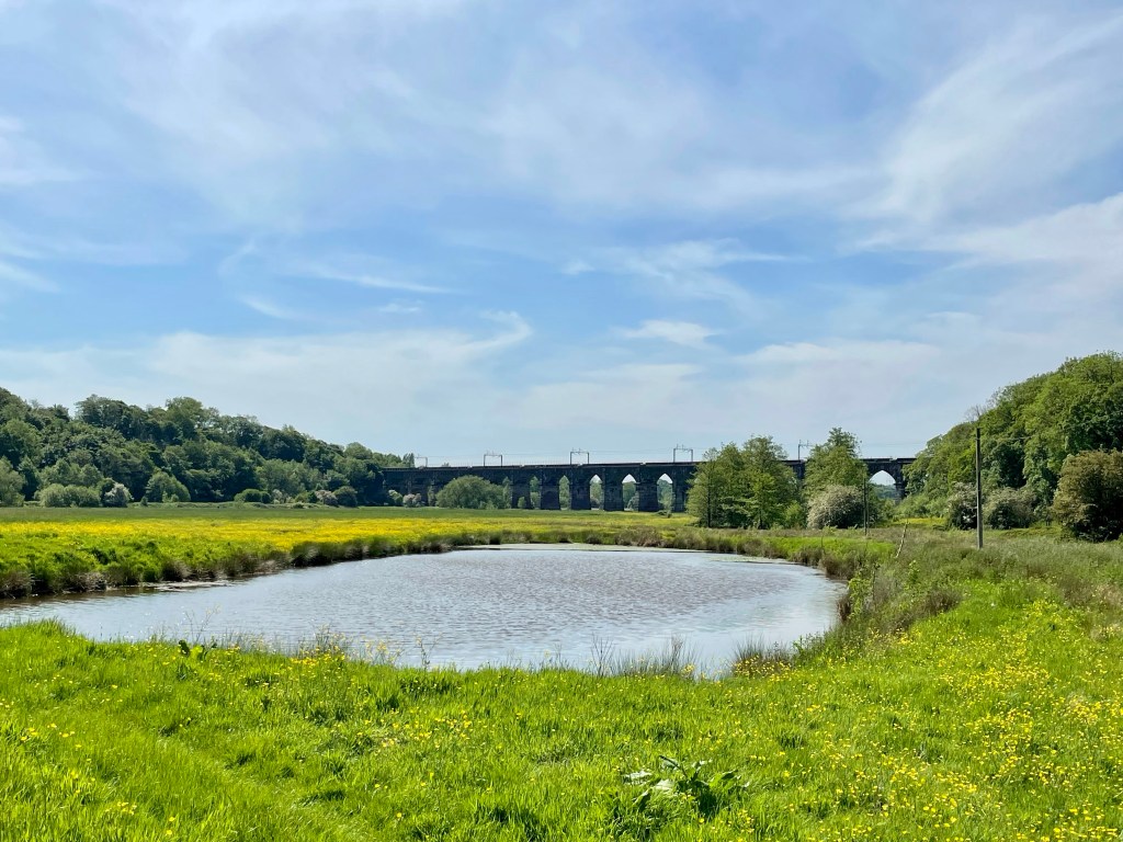
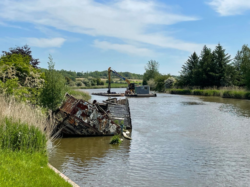
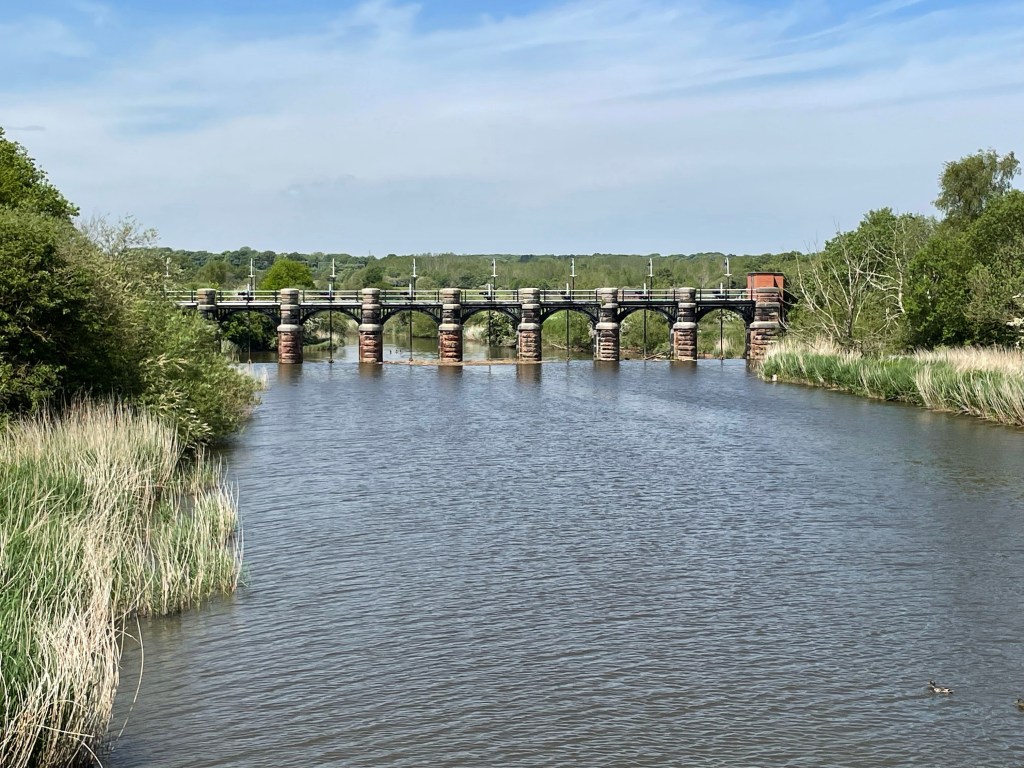
After sneaking through a field of cows who were more interested in sunbathing than us, we approached Dutton Locks, on the River Weaver.
Dredging the River
After eating our packed lunches we moved on to the Leigh Arms, where we picked a shaded table, to drink a well deserved pint.
Friday I will be heading further north for a week where I plan to share more of my walking exploits!
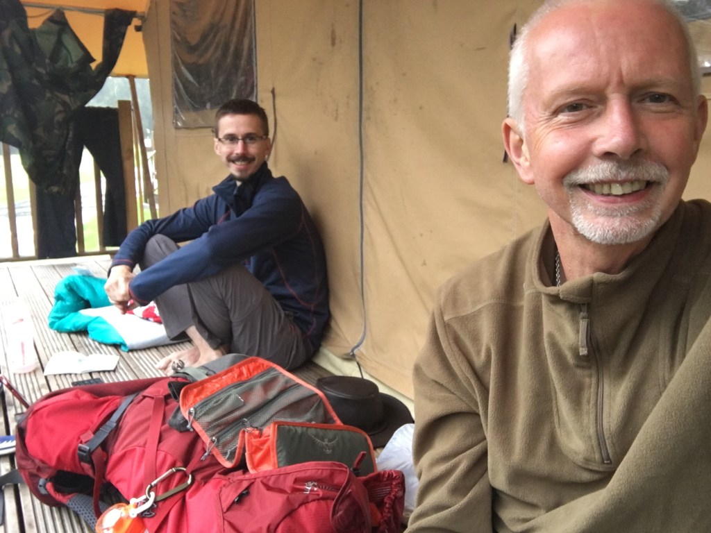
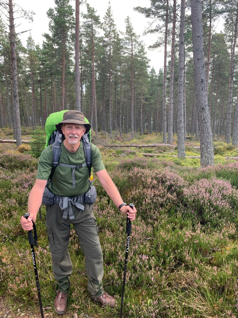
It’s almost been four weeks since the end of my Scotland adventure and my feet are getting restless. I’ve been busy planning my next long distance walk, where currently the East Highland Way is starting to call me; my dad is also up for this, the WHW and the GGW didn’t put him off!
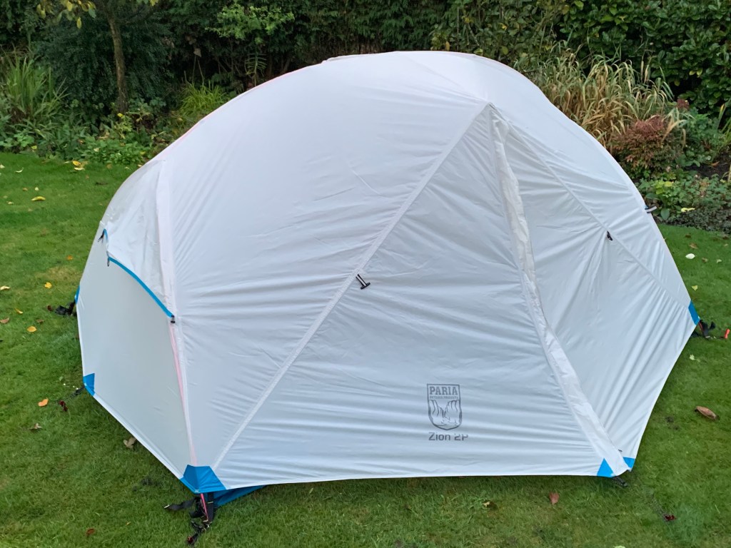
I mentioned in a previous blog that we would carry individual smaller tents next time. After some research I’ve settled for the Paria Zion 2P, my dad has chosen Aluxe Pyramid; two completely different tents.
Paria (left) Luxe (Right) Ginge the cat enjoying the camping!
The Luxe is a basic design where the support consists of your trekking pole. It offers plenty of vestibule space for your equipment and room for sheltered cooking, however the sleeping compartment hasn’t the room to swing a cat; you can see Ginge attests to this!
The Paria is very spacious but you sacrifice the vestibule area. Mine weighs in at 2.4kg including the footprint and my dad’s at 1.6kg without a footprint. Over the weekend we slept in our respective tents to test them out. We both remained dry through the rain, although it was a little cold; especially since it frosted over Saturday night.
Luckily I had planned for this eventuality, bringing a warm blanket that did the trick. My dad did question whether his Snugpack was a four season as he felt the cold. It didn’t help that his inflatable mat got a puncture, thus he kept having to blow it up to stop the chill seeping in from the ground. It only just lasted our Scottish adventure! One night away from disaster!
Paria Zion 2P
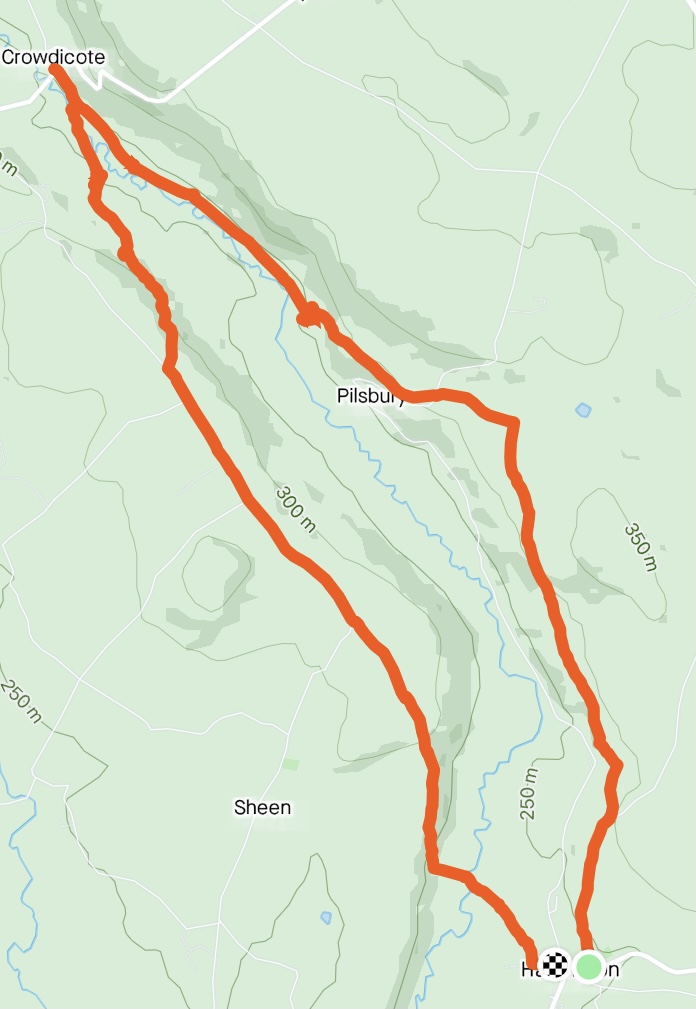
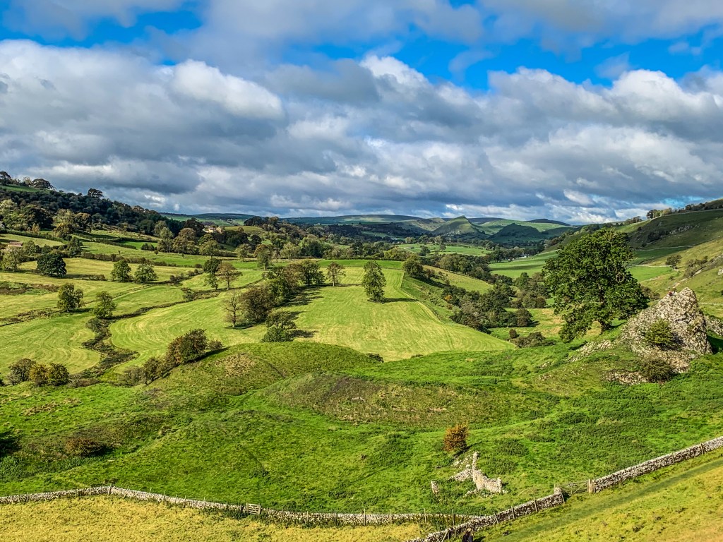
On the Sunday I arranged to go on a walk with an old friend around Hartington in the Peak District. He brought his son along for this sunny 8 mile circular trek from Hartington village, passing Pilsbury Castle ruins to Crowdicote and back.
The Route
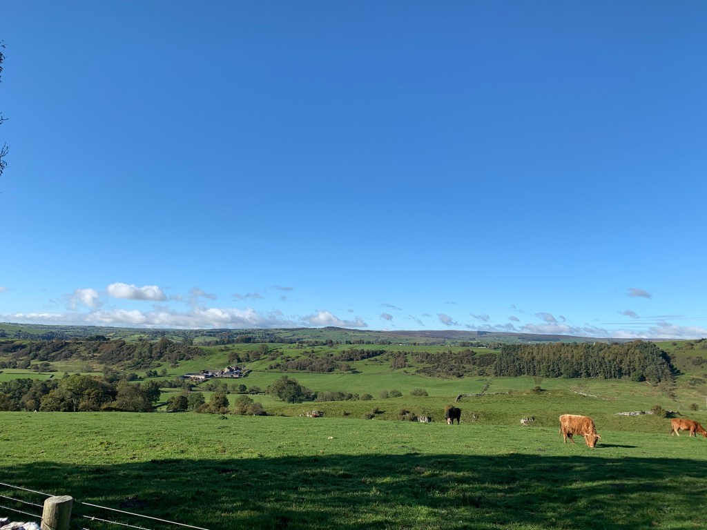
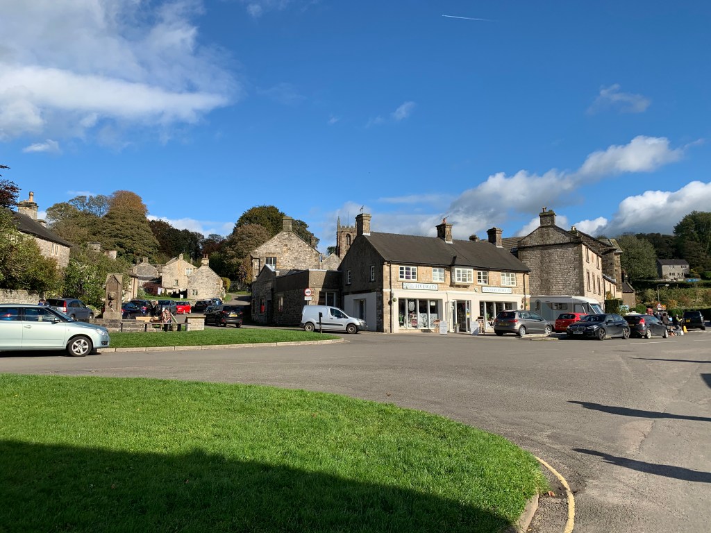
Hartington is a very popular destination for day visitors, even this late in the year. We arrived at 1030hrs and all the available parking was taken. I managed to find a spot on the road outside the youth hostel.
The route begins from the village centre passing St. Giles church ascending up a country road out of the village. About 600m along the road as you pass a small farm, you follow a signposted public footpath across the fields with views of the valley below.
The path is well defined and you eventually follow a dry stone wall as you skirt past ‘Carder Low’ giving views up and down this little valley. The weather was certainly on our side, hard to believe it had rained constantly all this week.
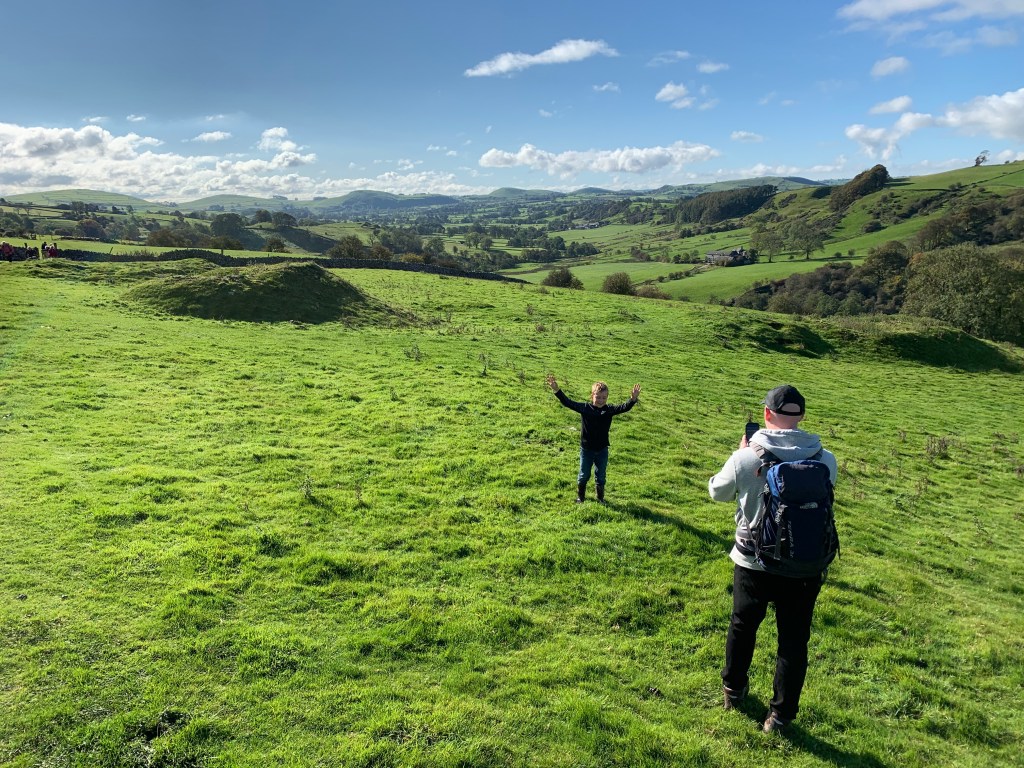
My mate taking a photo opportunity with his son.View towards Pilsbury
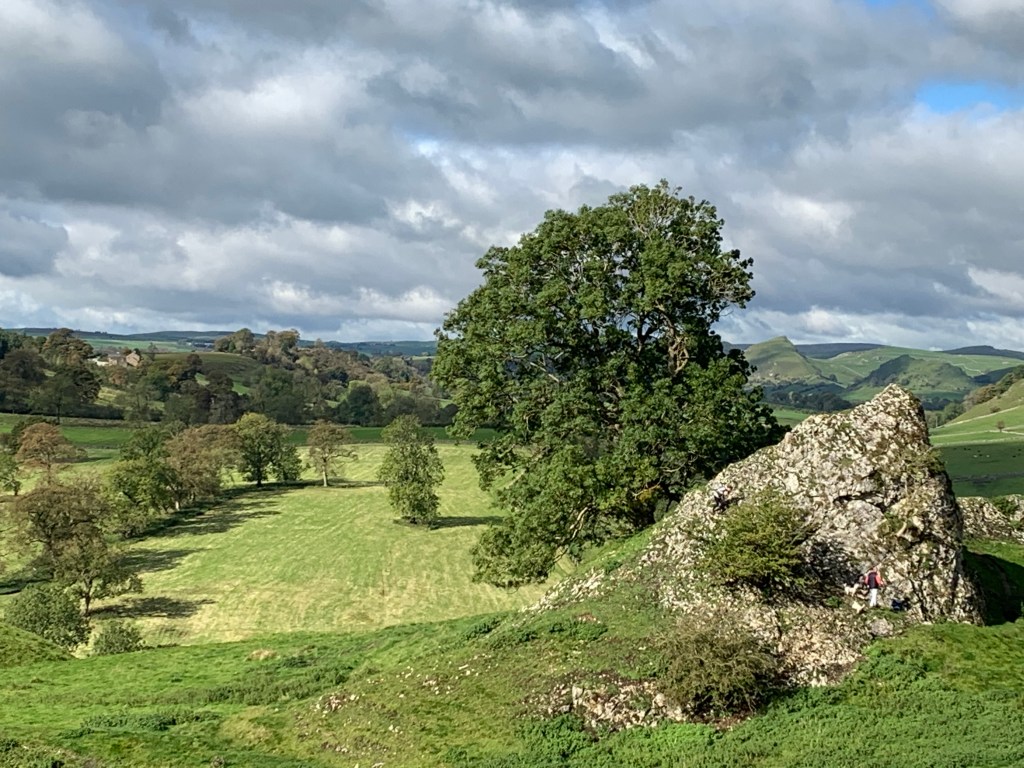
After about 3 miles you reach the earthworks of Pilsbury Castle. It consists of three mounds where the motte and two baileys once stood. It incorporated a rocky geographical feature for it’s defences. It was midday at this point, so we stopped for a bite to eat while my mates son took full advantage of climbing the earthworks finding every patch of mud in the area.
Pilburys RuinsThe feature formed part of the castle’s defenceView over the Bailey from the Motte
After fueling up we continued on towards Crowdicote where we encountered a group on their Duke of Edinburgh course; you couldn’t miss their matching yellow backpack covers! The halfway point is marked by crossing the River Dove at ‘Bridge End Farm’. From here it was very boggy as we cut across fields towards Longnor Road, which you follow in the Harrington direction until you reach Harris Close Farm.
You leave the road and cross farmland again passing grazing cattle; you practically walk down the farm’s driveway; thankfully they have clearly highlighted where you need to go!
You soon catch sight of Harrington in the distance as you descend through a small copse of pine trees, joining a farm track towards Bridge-end Farm. You come across a signpost for Hartington directing you across a field and back over the River Dove, arriving back into Hartington.
HartingtonHartington SelfieHartington
Once we got into the the village, I recounted my recent trip to Scotland to mate’s son, I asked “Do you fancy pitching up a tent and doing it all again tomorrow?” He gave an astounding‘no‘ for his answer! After a pasty from the village shop, we said our farewells and headed back. Nice easy strole in the Peaks with probably the last of the Sun for this year; a brilliant day.
I also took this walk as a chance to test out my new cushioned insoles. I went for the ‘Scholl GelActiv Work’. They worked well around the heel however not so well around the balls of my feet. I had a suspicion this would be the case as the padding in that area is very thin. They were a little sore, especially on my right foot.
My mate does a lot of running and he recommended Sorbothane, so that is my next bit of kit research. This is something I definately need to nail before the Camino next year.
The two weeks on the WHW and the GGW went by far too fast. On the train home from Inverness, the first stop was Aviemore. The end stage to the East Highland Way and the Speyside Way. The temptation to just get off at the station and walk the EHW in reverse was almost overwhelming.
Alas the tug of the real world dragging me back for work stopped me from what would have been a great twist in my adventure and blog!
I have also learnt from this backpacking experience. Lessons that I will take with me for the Camino next year and future long distance treks. In a way, Covid postponing it and allowing me to do these two walks, maybe a blessing in disguise.
I have my eyes set on either the EHW or the Speyside Way, spring next year (if I have enough leave available). It should warm me up ready for the Camino.
As an analysis of this adventure, I am going to do a little frequently asked questions type debrief, hopefully it will explain what I learnt and maybe help anybody thinking of tackling these two walks.
What should I have left at home?
Straight off, I’d say the candle lantern. It didn’t produce enough light to be usuable and the citronella candles did not deter the air piranhas.
We took a spare stove incase our gas one faltered or the fuel ran out. We didn’t end up cooking on it as much as we first intended due to the weather conditions. We had plenty of fuel left by the end, however it did break. The ignition mechanism for the stove stopped working, but we got around it with the lighter. So for future treks I would just take the one; we passed plenty of places that sold the gas canisters.
Dinner at the Kings House
I would also have left behind the insect repellant. The air piranhas did not mind any of it. In fact the Nordic Summer that dad had brought made better waterproofing for his boots than fending off the midges. At least the Avon skin so soft masked the smell from the day’s walking!
We found the best way to keep the blighters from munching on you, was to ensure you’re completely covered. We utilised the midge head nets, that worked a treat as long as you didn’t get any trapped inside! The only advantage of our wet weather was it kept them away. In fact on the GGW we had no bother from the wee beasts.
What should I have brought along?
Easy. The poncho. Not bringing them was our biggest mistake. Even though our packs had a rain cover and we wore our waterproofs for the majority of the walk. This didn’t prevent our rucksacks getting wet.
We found that the rain was running down our backs causing it to ingress in to our bags from this unprotected area. Had we brought our ponchos, these would have covered our rucksacks and the gap.
I hadn’t put my clothes and sleeping bag inside a waterproof liner, so you can guess how that turned out.
Drying our Gear at Milarrochy
At the end of day 2 from spending the day in the rain. I had to dry my clothing on the porch of glamping tent on the campsite. Due to Covid the backpackers facilities were closed, so I couldn’t even dry my gear there.
Luckily I was able to get a few bin bags from the site office but it wasn’t until day 4 when we stayed at the BnB in Crainlarich, that I was able to dry anything. Upon reaching Fort William I did buy some dry sacks. I will be ordering some more in the near future.
For me, the waterproof jacket did not breath. This made me uncomfortable and hot very quickly. By the end of the day I was just as wet through perspiration as if I hadn’t worn it at all. With a poncho, I would have been able to easily remove it after the rain showers and put it back on when required.
As I was having issues with my pack, having to take it off after getting it comfortable for a jacket wasn’t ideal. On numerous occasions, I wore my jacket like cape/poncho that worked until the wind picked up.
Cape Jacket
Was the tent a good choice?
I think the Scafell 300+ was a little too big and heavy for long distance trekking. The awning space was really handy to store our wet bags and gear over night, however I think we could have got around this by using large plastic bags or even a dry sack to put the packs in and bring them into the inner tent without getting it wet.
Sheltering at Gairlochy
We also found that over the course of the trip, the sides weren’t as taut. We tried adjusting the straps etc but we couldn’t get it right. It seemed like the tent had to be pegged 10cm off the ground at opposite corners to get the tension. The night at Beinglas and Gairlochy it was really windy, where at one point we thought the outer tent would be sailing off across the campsite. The constant flapping of the tent also disturbed our sleep.
If we were to do another long distance walk, we would each take a small lightweight tent. This would be more versatile and reduce our carrying weight. Some campsites would only allow pitches for small tents to allow sufficient social distancing.
Even though my Vango Banshee 200 is the right size, it weighs over 3kg without a footprint. There are reasonably priced tents that are half that weight. So I’m looking into getting a new tent.
Did the anti-gravity backpack work?
Yes and no. The Osprey Atmos withstood the rigor of the adventure. However, like most things, they are not made for people, like me, who are built like poles.
Even at the shortest point, the belt wasn’t tight to hold the pack above my hips. This is where the frame of the Atmos distributes the weight, keeping it off your shoulders. For the first 3 days I suffered greatly with sore shoulders and generally feeling miserable with it.
I solved this problem by tieing my jumper around my waist to pad the belt out, keeping it from slipping down my hips. Once I got it in the right position, the AG system came into it’s own. I hardly noticed I was carrying over 15kgs.
The jumper method comes with draw backs though. It falters when it rains. The belt gets wet and it expands (an issue my dad had). The jumper becomes wet; I only packed one jumper so there went my mid layer. I had to buy another in Fort William.
With the rain, out comes my waterproof jacket. This bypassed my jumper system, as it reduced the friction between the pack and the padding, causing the belt to slide down my hips and my shoulders bearing the weight.
Really, the last 2 days and the stage from the Bridge of Orchy to the Kings House, were the only days I got on with the Atmos.
One of the Few Days the Pack Worked
I am going to have to devise a way to enable the belt to shorten or put some kind of padding around it for my next adventure.
Were blisters an issue?
For me no. I had gone to Cotswold’s to take advantage of the free boot fitting/consultation serivice as described in an earlier blog. Coupled with the socks they recommended, I had very little problems.
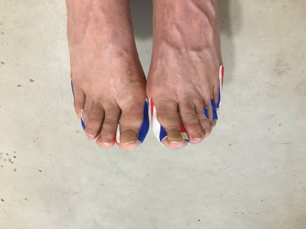
As part of my research into the Camino I had come across the blister topic frequently and looked into it, hence the kinesiology tape. There were a few times I felt “hotspots” on my feet indicating that the tape needs applying. This worked and prevented any blisters forming.
You have to be very aware of how your feet are feeling while walking such long distances. If you are starting to feel uncomfortable or something doesn’t feel right, you need investigate immediately, not wait till the end of the day or your next refreshment stop.
I didn’t have to apply the tape really after the first couple of days until the Scottish jet wash finally breached my boots; when your feet get wet, blisters start to appear due to the increased friction.
My dad however suffered very early on and remained in discomfort for the remainder of the adventure. He was having to pop and drain them each night and taped up his feet each morning. Until we arrived at Fort William, there was was nowhere to buy a more substantial treatment for them.
We got the compeeds for his heels and the sides of his feet. For his toes we got a silicon bandaged tube, that you cut to size. This really improved the comfort for my dad while walking.
Dad’s Kinesiology Taped Feet
One thing we both suffered with was the hard surfaces we walked across. There were long stretches of road, especially on the GGW, to navigate. The impact of our feet on the solid surfaces really took it’s toll on our bodies.
They ached something fierce after a mile or so on such surfaces; exacerbated when going down hill, like the descent in to Drumnadrochit. After massaging my feet for 30 minutes at the end of the day eased the pain and revitilised them.
I think this will also be an issue for the Camino next year, so I will be getting those gel cushioned insoles for my boots.
Would I do it again?
In a heartbeat. I really had a great time despite the trails and tribulations. Even during the day from hell, not even for one moment I wished I was somewhere else.
If I were to walk the WHW again, I would skip the Loch Lomand section. You spend most of this section within the forest line, obscuring the views and made the walk quite mundane; unless you like walking through woodlands.
I would get the train to either Crainlarich or Tyndrum and start from there. The views were better and the terrain more varied. The best stretch was from the Bridge of Orchy to the Kings House; if you wanted you could get the train to the Bridge of Orchy and go from there.
Leaving the Bridge of Orchy
I wouldn’t do the GGW again. I didn’t enjoy this as much. The majority of the route is within the pine forests that follow the lochs. Unless you take the high roads and the weather was on your side, you don’t get the views. I mentioned in the blog, I enjoy climbing mountains rather than skirting around them. I felt with the GGW there is more skirting than climbing.
I’m glad I did it for the experience but it isn’t one I will repeat in a hurry. We also struggled on this route due to Covid. We ran out of food over the first two days because the places to eat described in the guide book were closed; even google couldn’t be relied on to establish if places were open. Had we known the situation we would have stocked up at Fort William.
The two Australian’s we met walking from John O’Groats to Lands End also ran out of food at this stage. I managed to contact them through Facebook to guide them where to buy food and camping sites.
What gear/kit worked well?
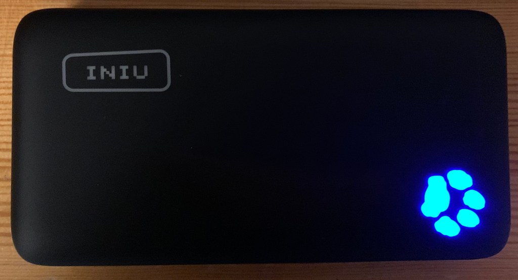
This is where I get a bit geeky. I bought a power bank for 20 quid from Amazon a week before leaving. The product description states it will charge the iPhone X up to 5 times before being depleated.
Iniu Power Bank
This bank kept my phone, my dad’s phone and my smart watch charged while we camped days at a time. It is a bit heavy, but for the price and the capacity is worth it.(I also liked the dogs paw)
I have a Garmin forerunner 35 watch. The battery life on this is exceptional with its built in GPS it lasted the whole 11 hours of the day from hell. It also bleeps after every mile you complete. I found this really helpful for keeping track of the distances we covered. The Garmin App also plots on a map the route you had taken; a nice feature.
Although I bought guides that included maps, I mainly relied on the Ordnance Survey App. The route is very well sign posted however there are times you need to consult a map. The app has both the land ranger and explorer maps built in. This enabled me to precisely pin point our location on the walk. The signal was really good throughout the trip with only the top end of Loch Lomand and some areas around Loch Ness, where the reception dropped.
I highly recommend you get this app and for the £25 subscription you get all the Ordnance maps across the UK. Even when the signal drops you still have access to the maps if you download them for offline mode. It also caches the map so you are still able to view if the signal temporary drops.
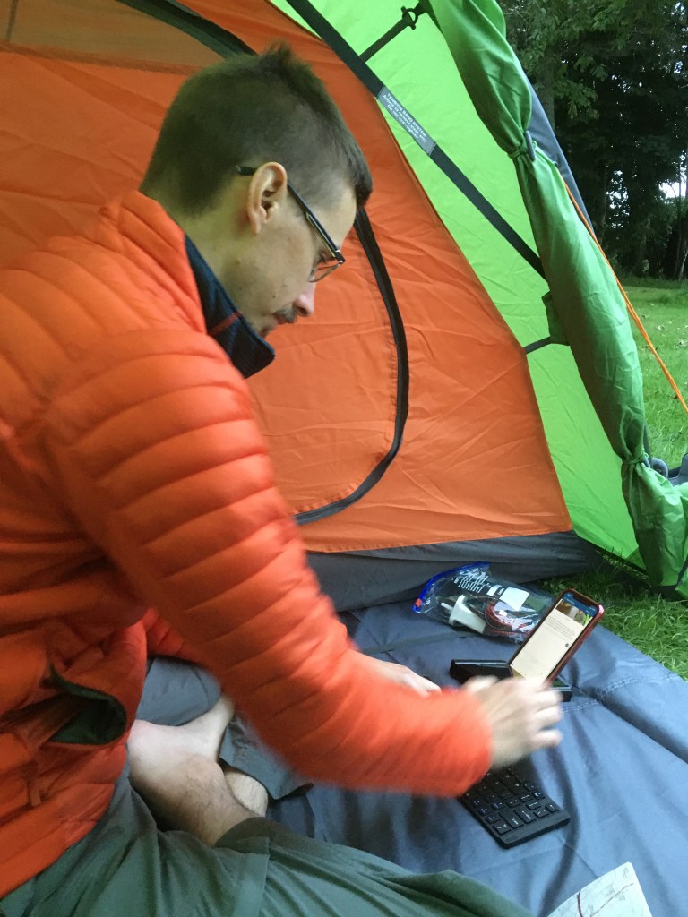
As I was writing this blog, the Bluetooth keyboard made this easy. I’m glad I took it along and will use it for the Camino next year.
Writing the blog
Walking poles are a must. Dad had the two from the start and swears he wouldn’t have made it through the day of hell without them. As we were scrambling over the wet rocks on that fateful stage, he slipped and fell. The sticks saved him from toppling down the bank into the loch.
I’ve only really used sticks for descents as this is when my knee tends to play up. I only took one this time as I tend to find it awkward walking with the two. However when my right knee became painful I relied on two sticks.
I expected my left knee to be an issue, as it always has in the past, ever since I hurt it doing the Total Warrior challenge in Shap a few years back. Knowing this I kept my left knee strapped up for the entire adventure and had no problems at all.
After getting a support for my right knee and using the sticks, I was able to keep going and it slowly healed. It made its presence known during the GGW but didn’t cause any issues.
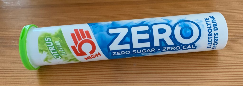
We also took electrolyte tablets for our water. Either we drunk a bottle of it once we finished or dropped a tablet in our water for the day. Coupled with warm down stretches at the end of the day, we believe this is the reason our muscles didn’t complain throughout the trek.
Electrolyte Tablets
What advice would I give for the WHW and GGW?
With the problems caused by Covid, you would perhaps not encounter some of the issues we had. Rowardennan, the stage end for day 2, was closed to campers and the BnBs were full. The nearest campsite to Rowardennan had to be booked 2 days in advance and that area of Loch Lomand doesn’t allow wild camping until the end of September. Therefore we stopped at Milarrochy 7 miles short of Rowardennan.
The plan was to get to Inversnaid to have something to eat at the hotel there before continuing to Beinglas. As you know, Inversnaid was closed and nowhere to buy food. This impacted us greatly; we had very little substantial to eat that day, hence why we ended up so exhausted.
We almost had a similar situation on the GGW. So my advise is to carry more food. Also having a water filter was a God send. On this stretch there was nowhere to refill our bottles. Having the filter allowed us to get water from the small streams along the way.
Filling Station
I would also recommend taking the high road from Inversnaid avoiding Rob Roys Cave and the tretcherous terrain the low road entails. The cave is nothing special and the high road is better underfoot and wouldn’t have brought us to the brink of collapse.
For the GGW we rented the key to the facilities along the way. I wouldn’t bother with it. Most of the toilets were unlocked and there are outdoor taps at the locks to fill your bottles up. We ended up paying £10 each for a key we never used, that I now have to post back!
GGW Facilities Key
How much have we raised for Prostate Cancer UK?
At the time of writing this blog we raised £1623. We had a few donations once we returned which we put on to my justgiving page. This far exceeded what I imagined to raise. I put the target at £500 thinking that would be too high to reach. I have been blown away by the support we have had and I am grateful for everyone that has donated. Honestly, it has spurred us on and has been a source of encouragement for us both. The kind words and best wishes in response to my blog both on WordPress and Facebook have kept us going.
A 179 miles. 397,142 steps. Through horizontal rain, high winds, sunshine, midge territory; over hill, tretcherous terrain, bog land and concrete. We endured challenges with the weather, lack of food and amenities. Problems caused by Covid regarding accommodation that resulted in a nightmare day 3. Suffered blisters, aching feet, broken knees, sore shoulders and dodgy guts.
We walked along lochs, canals, through pine forests and over moors. Conquered the Devil’s Staircase and the low road between Inversnaid and Beinglas. We have met some great people along the way that have made the experience, that more complete.
We have seen sights few have seen and climbed hills few have ventured. Walked aged old roads and crossed historic battles fields. Contended with stags and made friends with a pig.
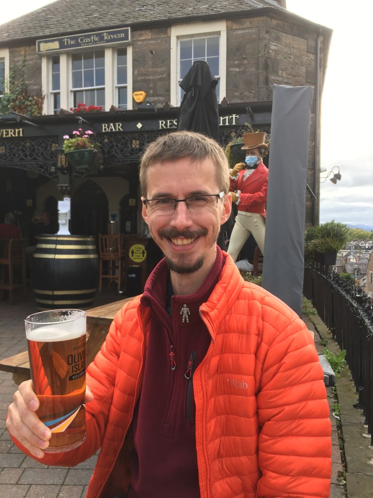
We have burnt 1000s of calories and perspirated litres of sweat. So there is only one tried and tested method to restore ourselves; Rehydration Therapy aka drinking in the pub. Starting at the Castle Tavern, opposite the GGW finish line.
Castle Tavern
If we knew, what we know now, at the start of the trek, we would have booked extra time off and do it all in reverse! A memorable experience.
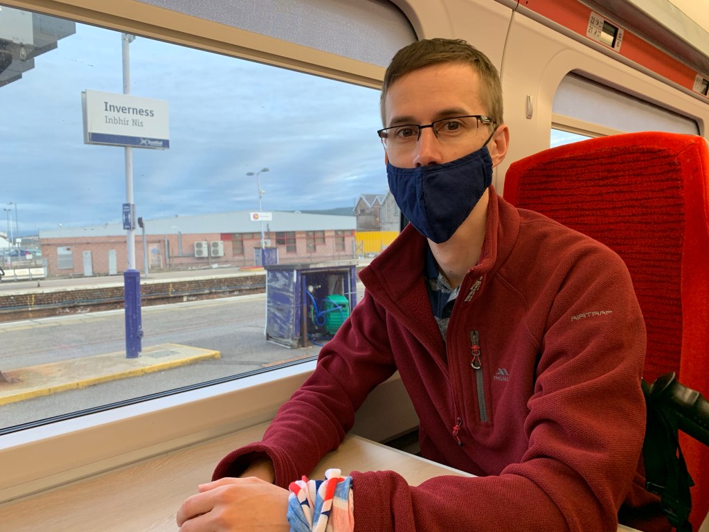
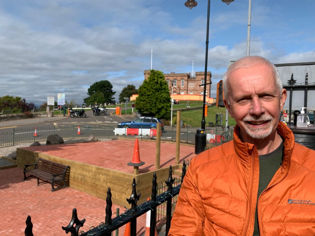
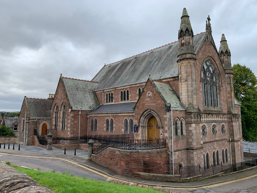
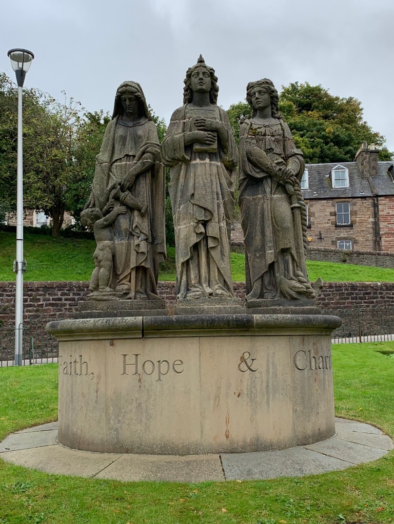
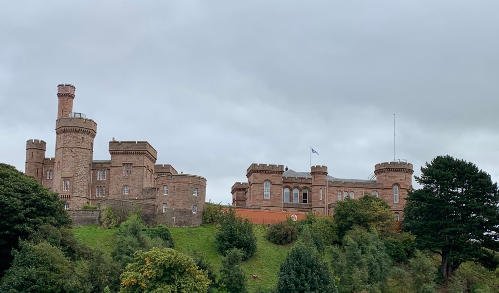
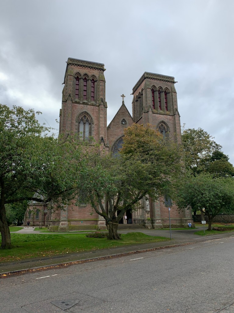
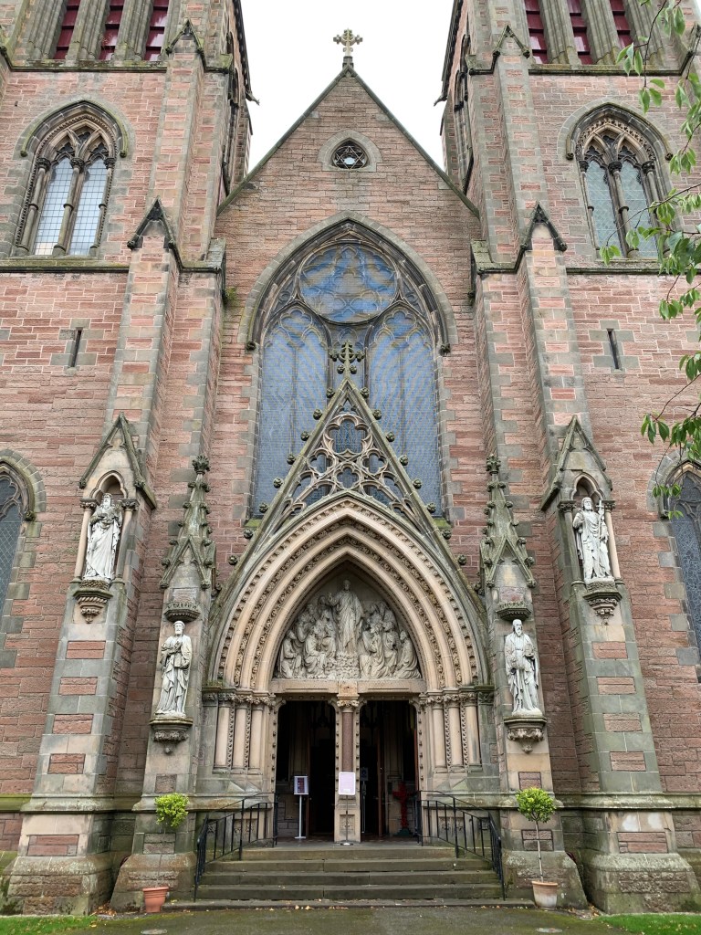
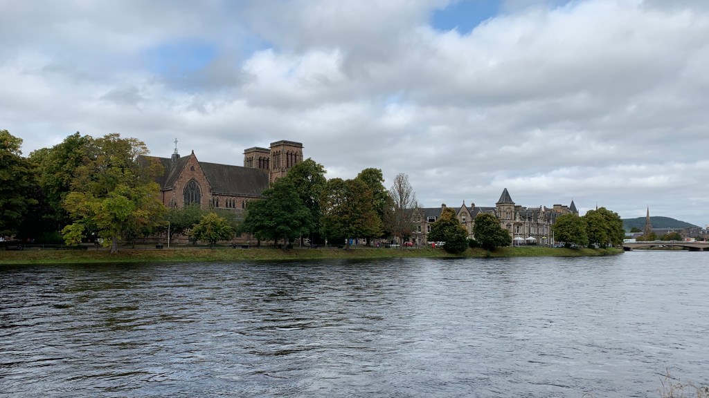
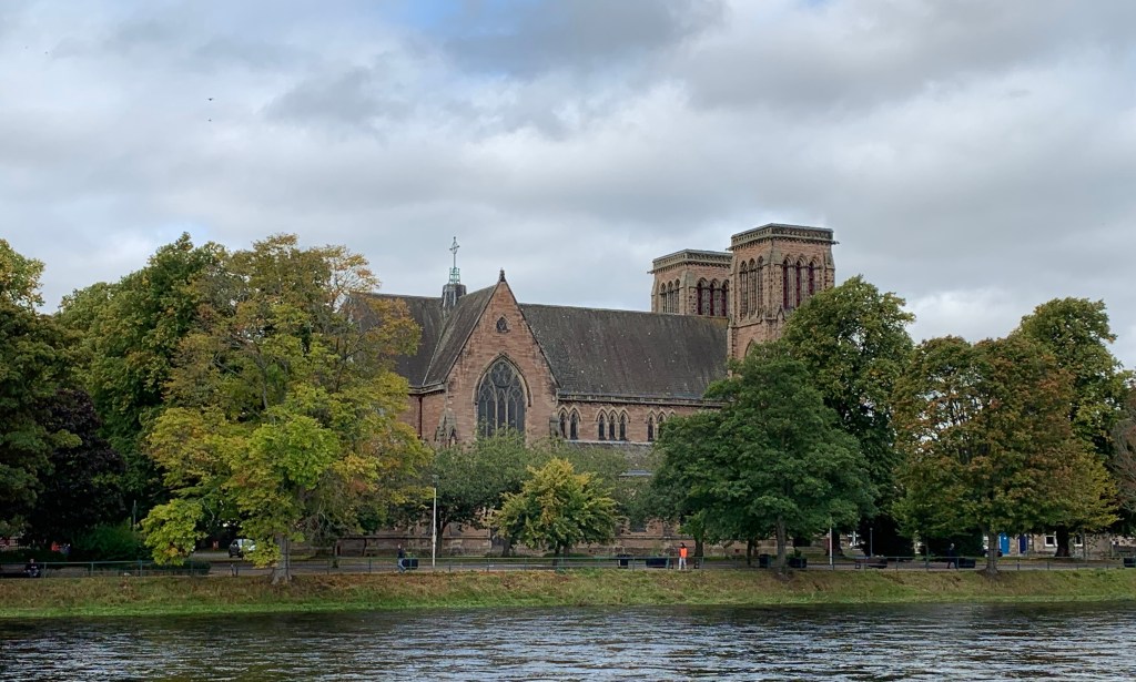
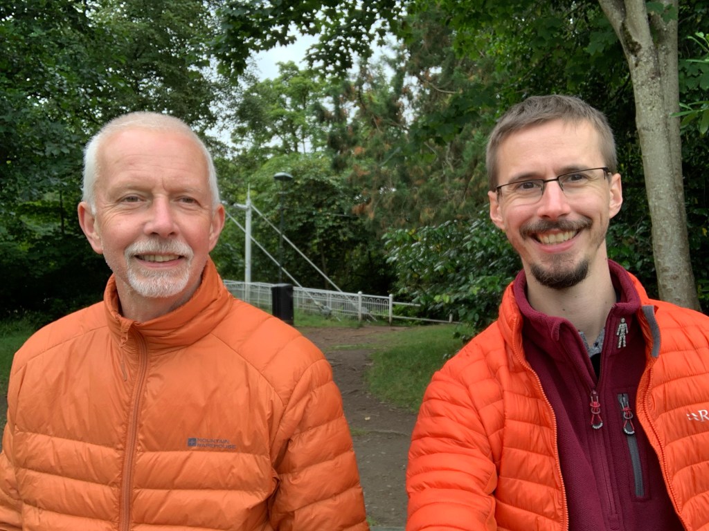
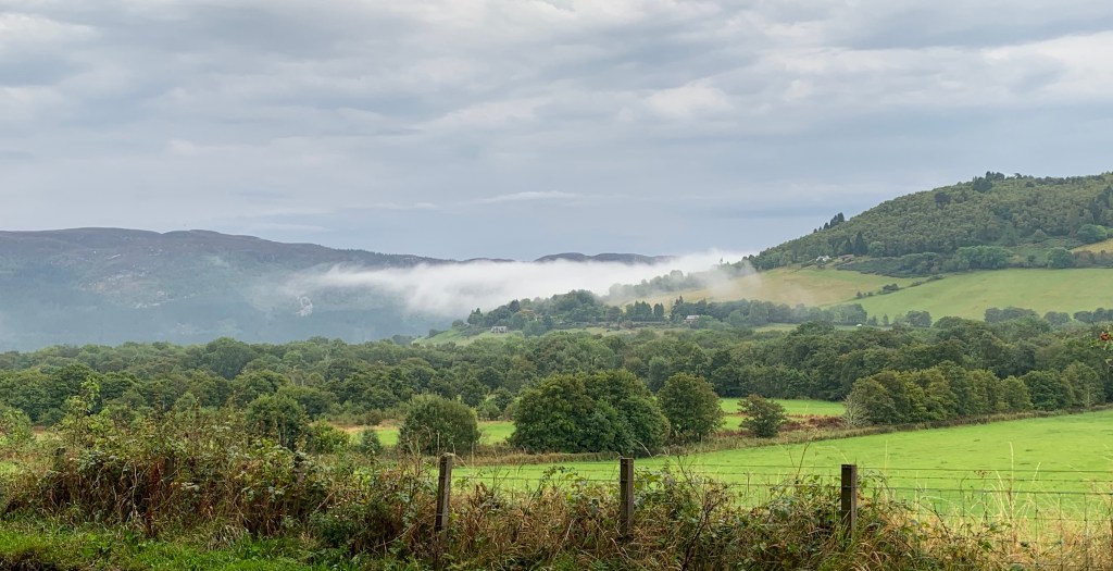
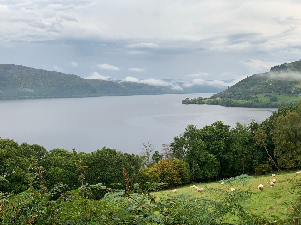
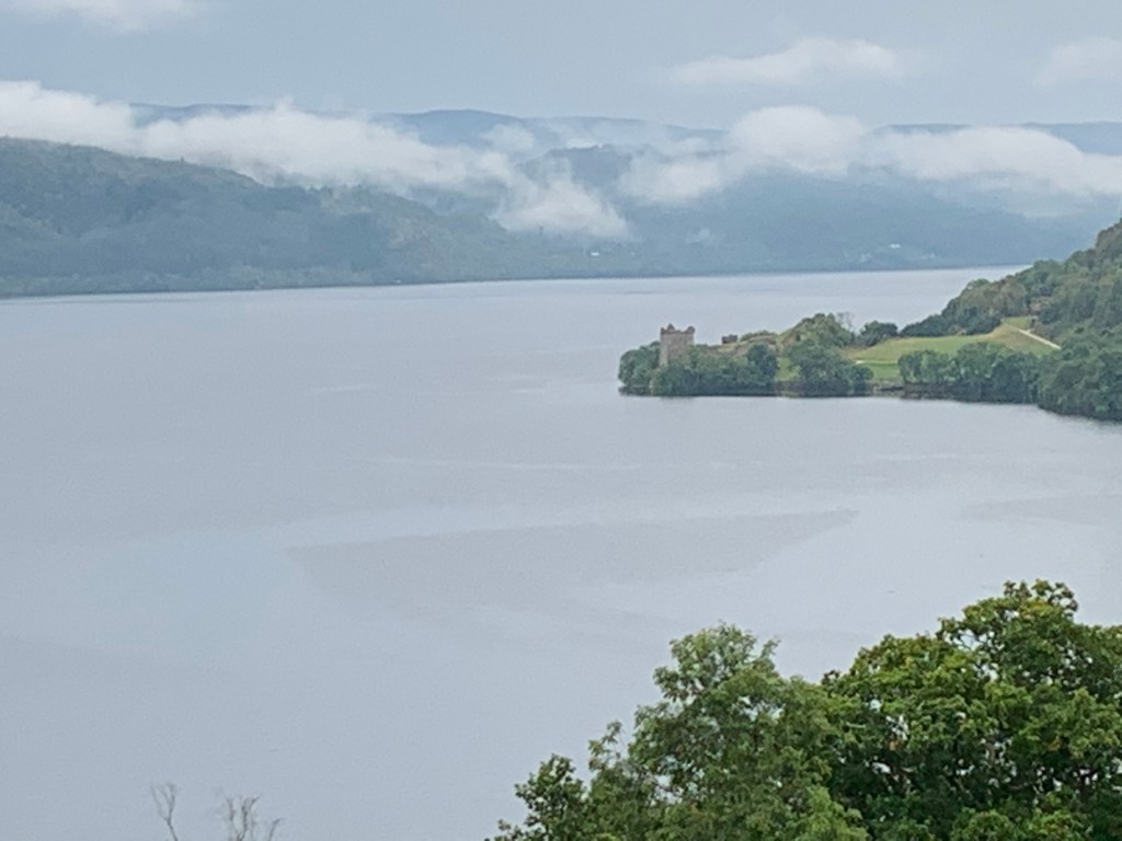
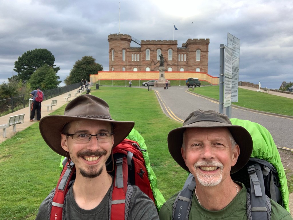
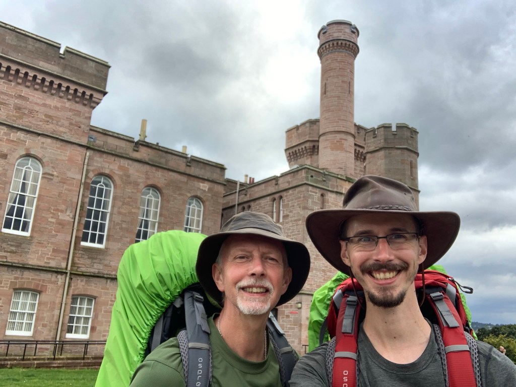
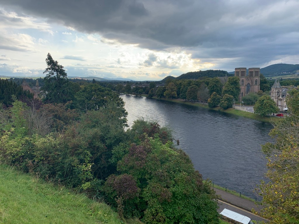
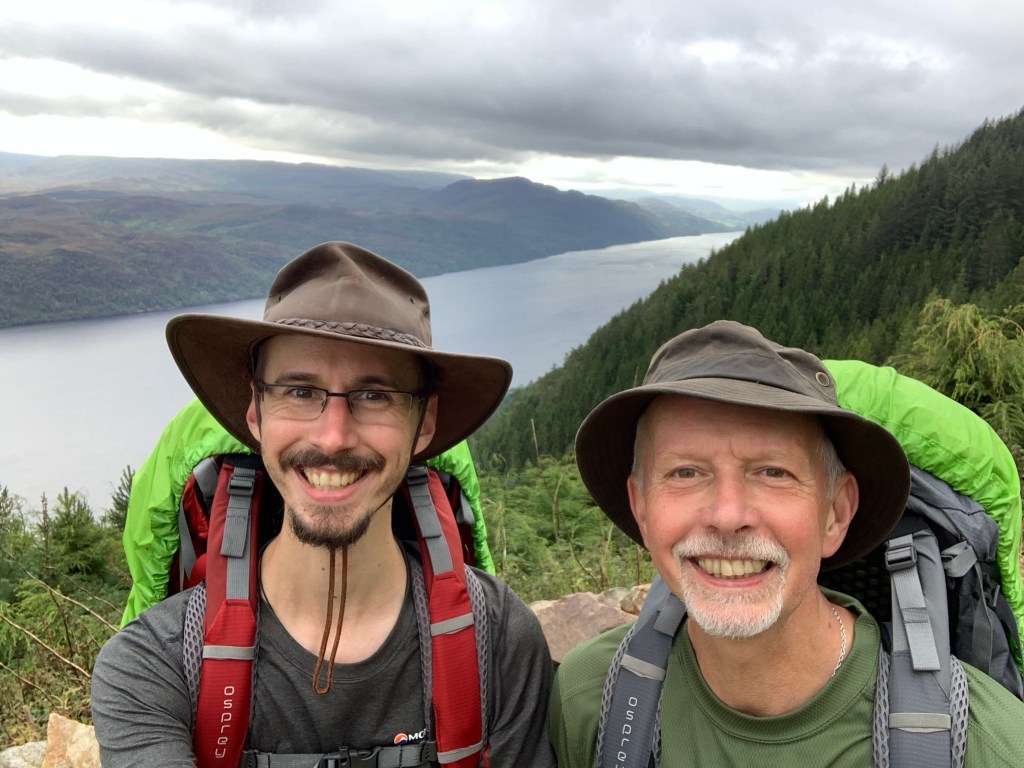
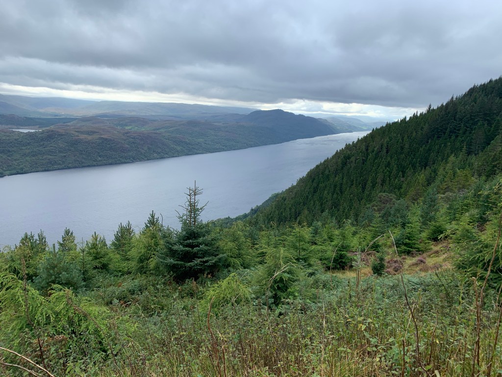
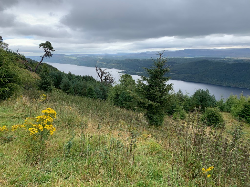
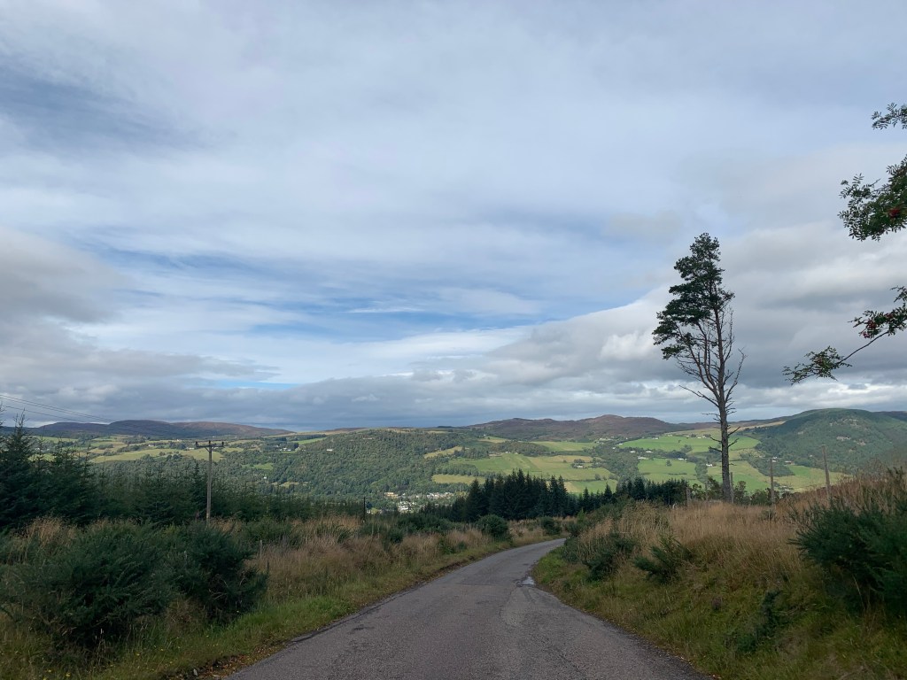
The following pictures are from our little walk around Inverness this morning.
As you all know, we’ve done this challenge for Prostate Cancer UK, at writing this post it stands at £1,523. I’ll end the blog for this adventure with a message my dad made on Facebook before setting off.
“I am in training for a 170-mile hike for charity with my son Stuart in Scotland, walking from just outside Glasgow to Inverness, via Fort William. We leave Caverswall on Bank Holiday Monday and envisage it will take us approximately two weeks to complete. We will be wild camping for most of this time.
If you want to know the reason why, read on. My journey started 18 months ago when my sister pestered me to have a PSA test. After some debate with her, I agreed. What did I have to lose? as I told my sister: I wasn’t that old, I was fighting fit, I had no symptoms and anyway I had been lucky with my health and also, prostate cancer happens to other people, doesn’t it!
WELL HOW WRONG WAS I?
On the day of the blood test which I arranged to stop my sister pestering me! I had a phone call from the surgery to say they had found an anomaly in my blood sample and I needed to see the Doctor ASAP. To cut a long story short this is where my relationship with prostate cancer began.
This September it is 12 months since I had major robotic surgery to remove my prostate gland. In truth it has taken all that time for me to get back to the near fitness I had before, and the doctors are happy with my progress. If it wasn’t for the research and advancement in technology sponsored by Prostate Cancer UK from charitable donations from ordinary people, plus the skill and dedication and support of the surgeons, doctors, nurses and staff of the NHS, along with the support of family and friends , I would be on the road to a darker place I’m sure.
I would urge the families of all men to encourage them to ask for a PSA test from their doctor even if, like me they don’t think they have symptoms. Potentially this simple action could save and extend their loved ones life.
About 1 in 8 men will get prostate cancer at some point in their lives (Prostate Cancer UK) If you would like to follow our progress on the hike, our travel blog is below. You will also find the link to our sponsorship page for the Prostate Cancer UK charity if you feel you would like to donate. If not, please buy a prostate cancer UK pin badge whenever you see one for sale, to promote Prostate Cancer awareness. Also wear it with pride, in honour of those who may have lost the fight, those who have fought, are fighting, or those yet to fight the disease.
We had very little sleep during the night. Our cabins were next to a field full of inconsiderate cows that thought it was a good idea to ‘Moo’ throughout the night. They sounded like they were just outside! It also rained on and off which made me a little anxious with the potential of facing 19 miles in the wet.
Luckily when we decided to get ready and leave it was just cloudy with mist lingering above Loch Ness. We hit the road out of Drumnadrochit for a mile or so before we started our ascent of Creag Nay.
Mist Hanging Over Loch NessCastle Ruins on Loch Ness
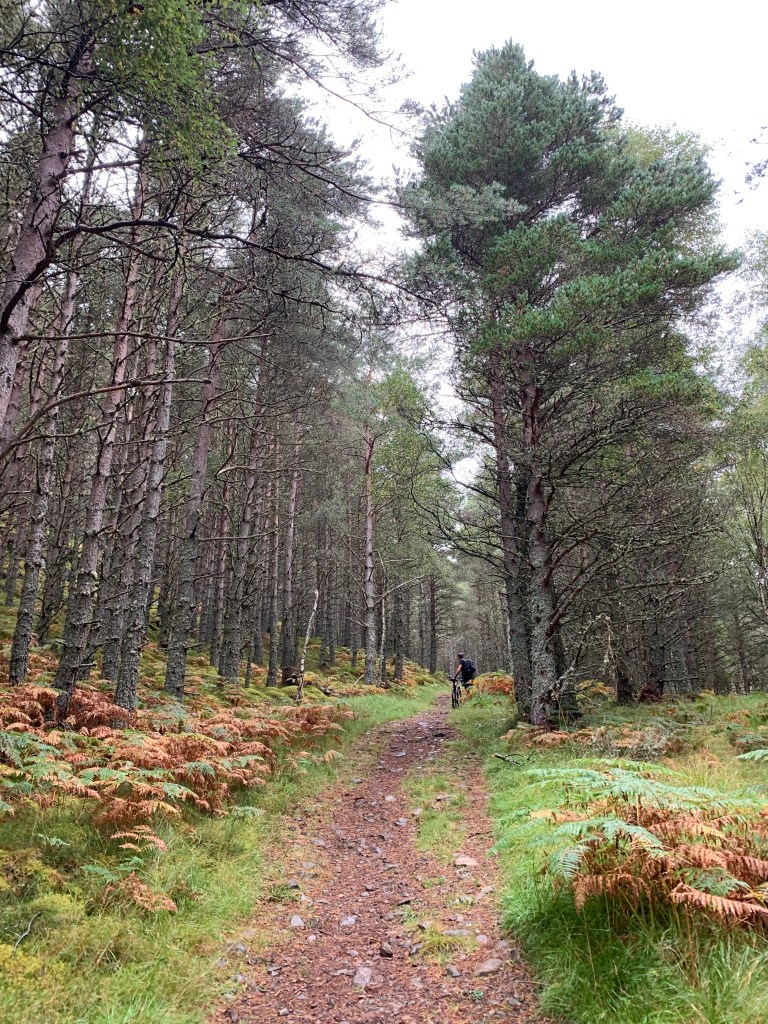
This was a steep climb of 250m (1000ft in old money) through the pine forest. This would be the hardest stage of today’s route with regards to exertion. Two mountain bikers hit this point as we did; we played leap frog for an hour before they sped off ahead as the path levelled briefly.
Cyclist Taking a Breather
It was slow going, it took us almost 3 hours to cover just 4 miles. Soon we emerged from the tree line with views of Loch Ness hiding under the mist.
Eventually it was our turn to be enveloped in it. The path leveled with only a shallow incline at last. Our pace picked up so we could finally eat into the miles that lay ahead of us.
Misty Path
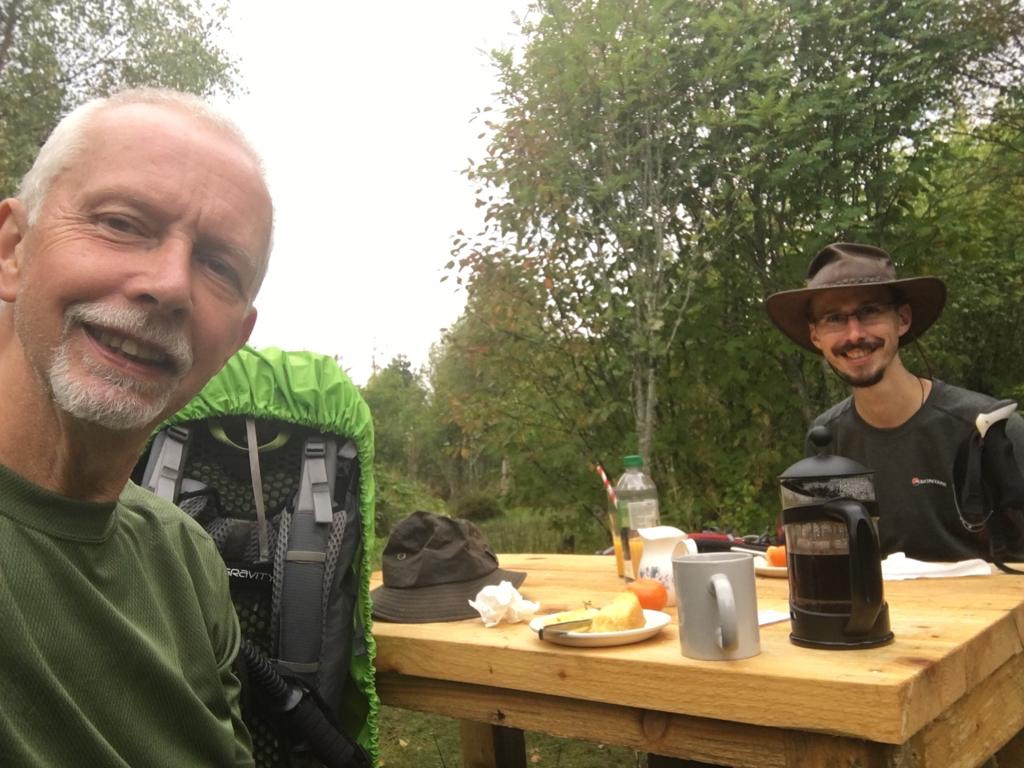
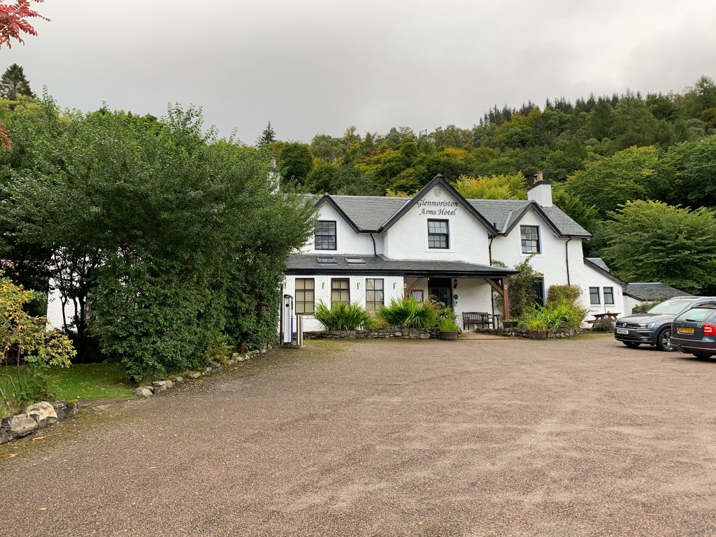
Two days earlier in Invermoriston, we were chatting to two students walking the GGW, but from Inverness. They mentioned a place about half way between Drumandrochit and Inverness that did excellent lemon cake.
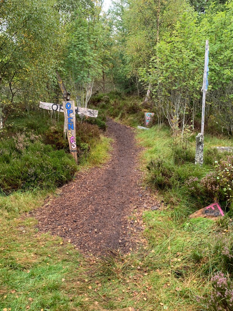
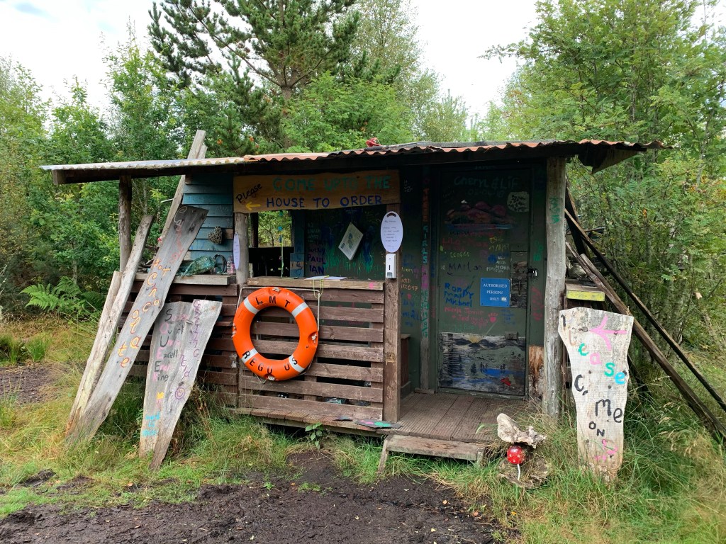
We kept our eyes open for this as it would be a well needed resting stop. As we were following a narrow footpath with shrubs and birch trees overhanging us, we found it, the Abriachan Campsite. There had been painted wooden signs enticing us for over a mile with said lemon cake.
Painted Signs
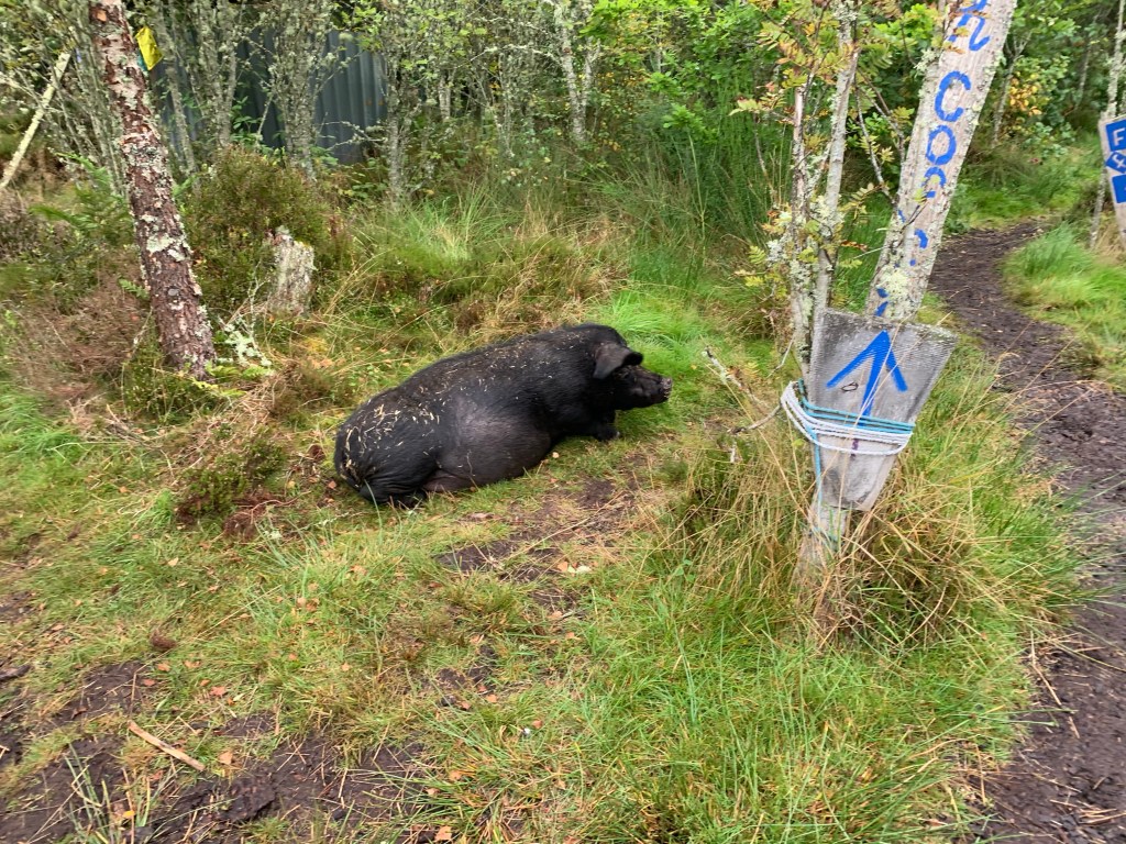
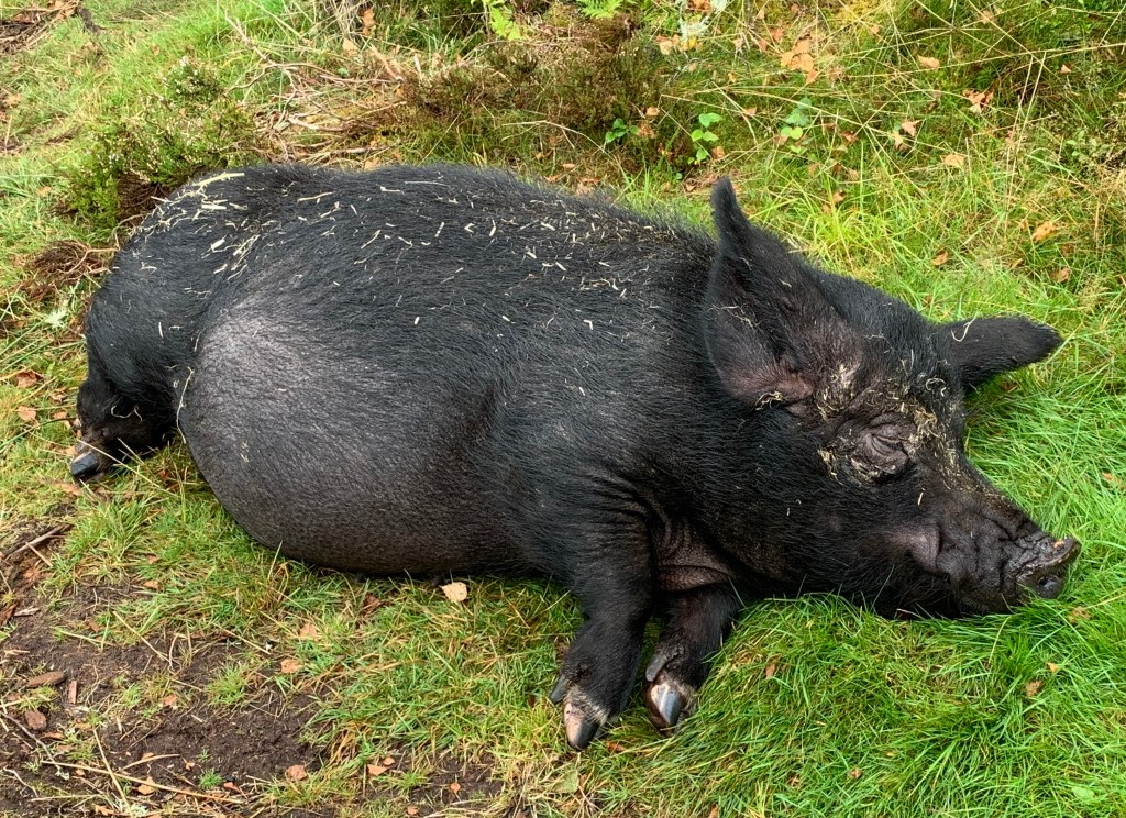
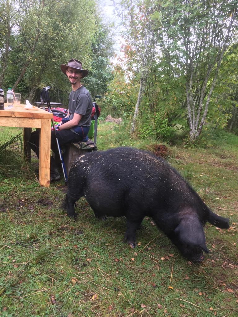
This was a quirky little place that is a bit “out there”, it even had it’s only sleepy guard pig that lazily eyed us as we entered.
Guard PigLazy Though
Walk Through
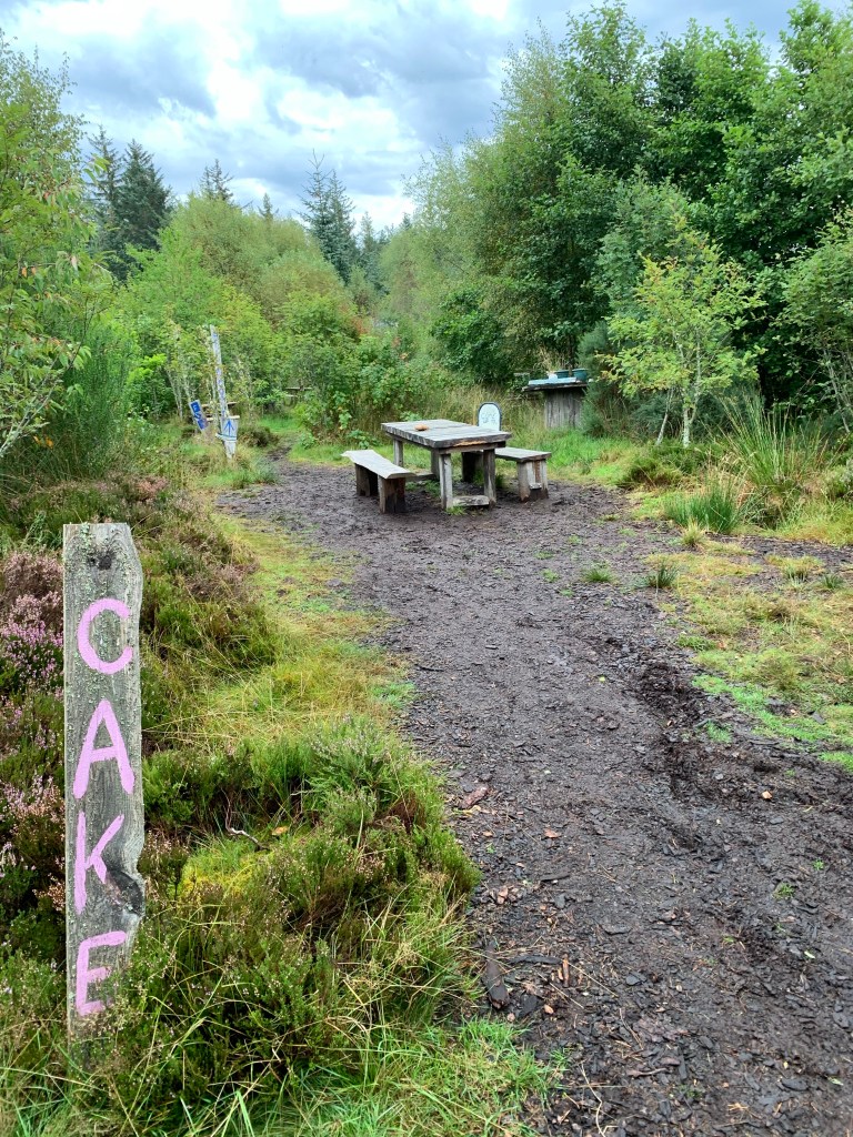
We ordered a drink and a slice of the lemon cake we have heard so much about; and yes it was good cake. So good that the pig joined us for a bite of it!
Munching on a bit of CakeCoffee and Cake
The cafe and campsite has been open everyday for the last 20 years and is worth a stop if you undertake the GGW, you won’t regret it. We shoved our backpacks on and said bye to the pig.
From this point on for 3 miles or so we were on a single track road that started to cause our feet problems. Luckily halfway along this road section a footpath ran parallel that was softer underfoot.
To cheer us up though, the Sun came out and remained with us all the way to the finish. We left the road and passed through a pine forest. This was quite serene with the lazy autumn sun shining through the trees. It took our minds off our aching feet.
The route followed a dry stone wall and looking at it I realised it must have been built 100s of years ago. The moss and lichen grown over the time gave it a range of colours.
Dry Stone Wall
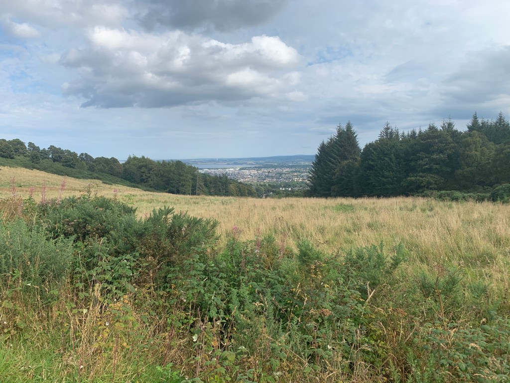
We reached the 15 mile point where we finally sighted Inverness and the castle where the finish line lay; this marks our slow descent into town.
Inverness
The GGW leads through suburbs of Inverness until you reach the Caledonian Canal. We decided to stop at a picnic bench to have a sandwich and a banana to give us a boost for the last mile to Inverness Castle.
Snack by the Caledonian Canal
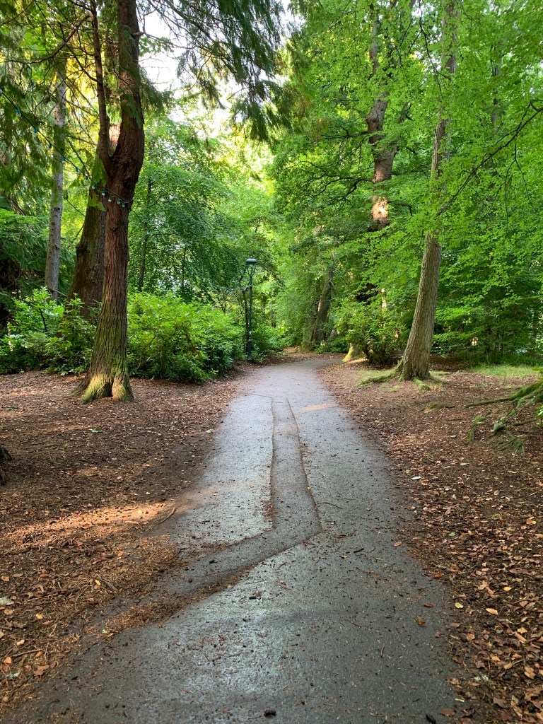
The path then follows the River Ness and crosses to an island in the middle of the river that has been turned into a park. There were old style lamp posts that have stringed festival lights hanging between them. It had a very pleasant atmosphere.
We joined the bank of the river and followed this to the castle. The other side of the road is lined with restaurants with customers dining al fresco, they turned their heads to us, with the clacking of our sticks on the pavement attracting their attention. They watched as we passed; some gave a wave spurring us on.
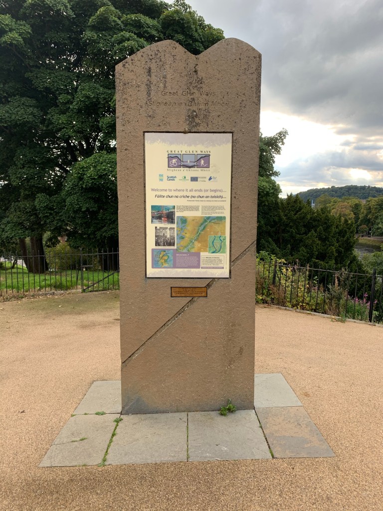
The castle was obscured by trees and buildings until the last minute. Just when we thought our walk was over, our feet winced a little at the sight of one last hill to the stone marker.
We hobbled up the small incline that seemed like a mountain, to finally touch the standing stone that marked the end of our 179 mile journey across the WHW and the GGW.
Finish
We had a mouch around before heading to our BnB that is conveniently two roads down from the castle. We kicked off our shoes, flopped on to our beds and stretched our feet. I booted up my music app on the phone and got ‘We are the champions’ by Queen playing!
Looking up the River NessWe are the Champions
Once showered we hit the town to find most pubs full; must be party night on Tuesdays. We eventually found a table at “The Auctioneers”!
Cheers!
Thanks again for all those that have donated to Prostate Cancer UK. Thank you for all the kind messages of encouragement over the last two weeks, it has kept us going during those very wet miles. We are now going to have a day in Inverness before heading home. By train not by foot!
Having now completed the challenge and you would like to donate. You can search for me at http://www.justgiving.com or at the top of this page there is a donate link that will take you directly to it (if you are on a mobile device, at the top of the page, click the menu button, then donate)
The forecast for our penultimate day on the GGW was cloudy with 0% chance of rain, according to the weather app on my phone.
Looking out the window there was a menacing cloud just outside Invermoriston just waiting for us to leave. We debated whether to don the waterproof over trousers or to risk it for a biscuit. In the end I packed them away and dad followed suit.
The route leads straight up a steep single track road out of the village before joining a forestry track, that made up the terrain for most of the day. We got our last glimpse of the Invermoriston and the surrounding hills before we disppeared into the tree line.
Clearer Today
We came to a fork in the road where we had the option to either take the high road or the low road. With the visibility the best we have had for the entire GGW, we decided to try our chances on the high road.
After an intense incline according to dad we finally got what we hoped for. The stunning scenery so famous for this part of the world.
View CatcherView CatcherLoch NessLoch Ness
It was a bit undulating the high road, but it was worth the effort. I finally started to enjoy the GGW. I prefer to be climbing the hills than skirting around them, glad we took the high road; although I think dad would disagree!
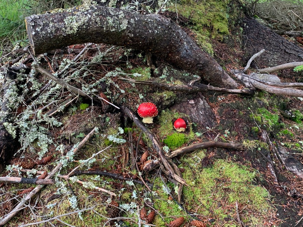
We crossed a gnarly bridge where apparently a troll lives underneath it.
Dad Made it SafelyFly Amanita
We came to a great view point where we could see both directions along the Loch. We took the opportunity for a selfie.
Let’s Take a SelfieTowards Fort AugustusTowards Inverness
About halfway we found a bench along the forest track on the descent from the high road. The place was so secluded and quiet. All we could hear was a bird tweeting and the running water from a small stream nearby. Also a great spot for wild camping.
Silence
We continued on. The forest track soon joined a single track road, that took us in to Drumnadrochit for the last 4 miles. The hard surface wasn’t kind on our feet and were glad when we reached the hostel.
On our last 2 miles the sun came out and the gamble of not wearing our waterproofs paid off.
Drumnadrochit
Around 1530hrs we arrived at our hostel where our room is in a log cabin to the rear. So we’ve done it all these two weeks: Camping, Wild Camping, Hostels, BnBs, Hotels and now a wooden cabin.
Cabin Fever
Our last day walking tomorrow and it’s a toughie. 19 miles! Looking at the map it appears to be similar terrain as today. With luck the weather will hold however the app says rain; that is a headache for tomorrow, it is time to get a pint!
Thank you all who have sponsored us so far. We are just over £1400! If anyone is still wishing to denote, at the top of the page there is a donate button that will take you directly to my just giving page. Alternative you can search ‘Stuart Hulme’ on the just giving website. http://www.justgiving.com