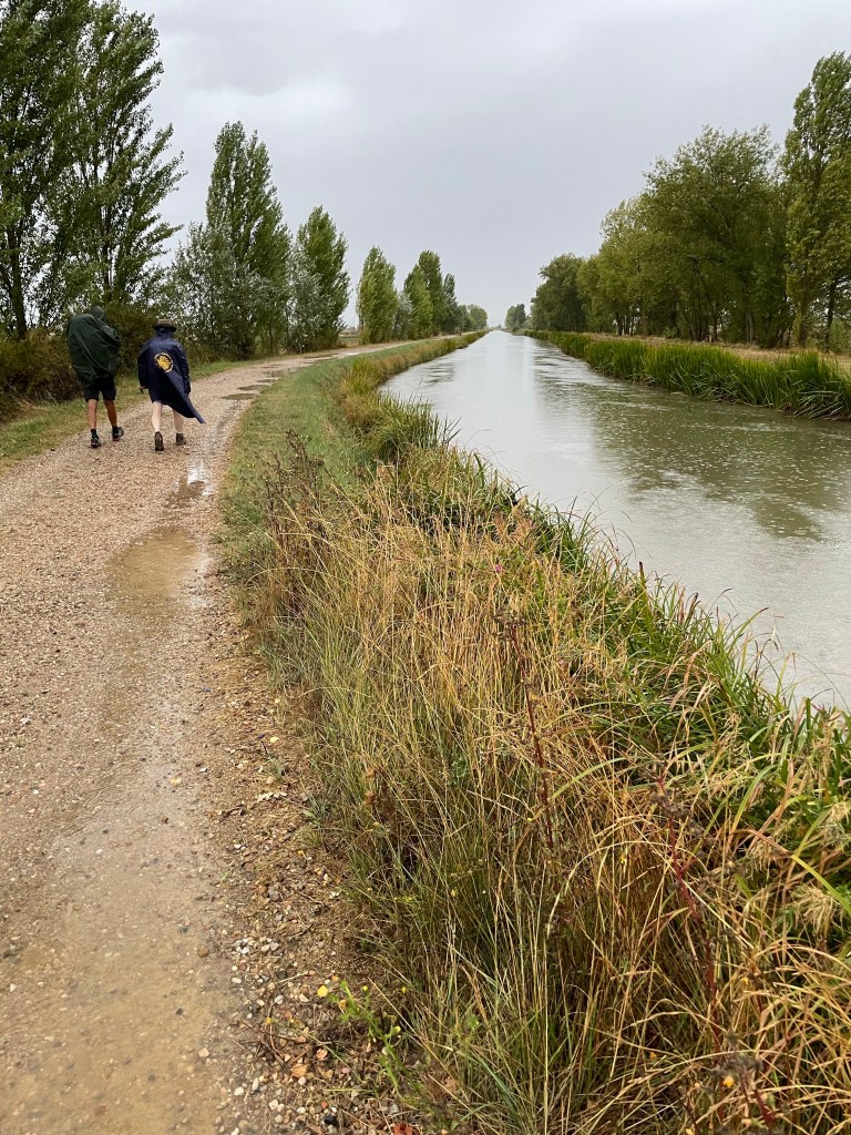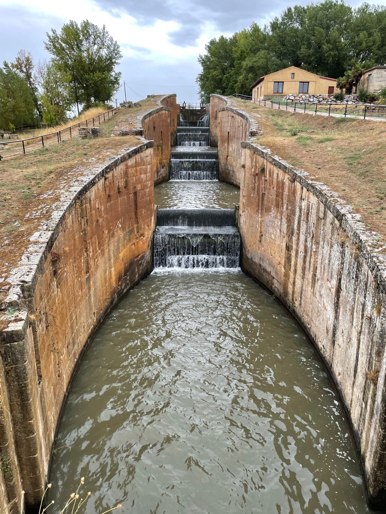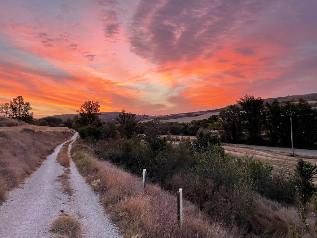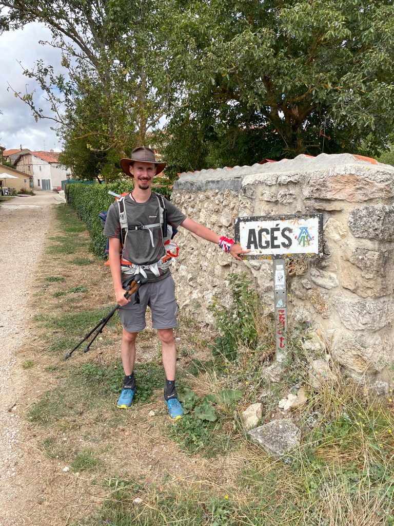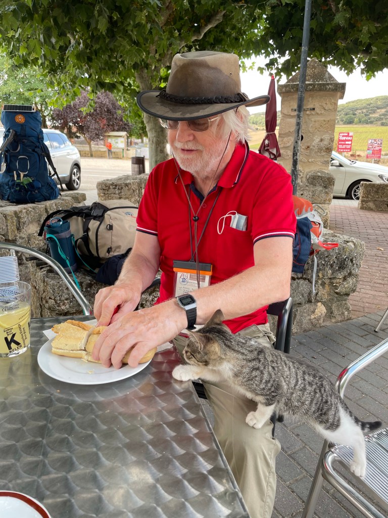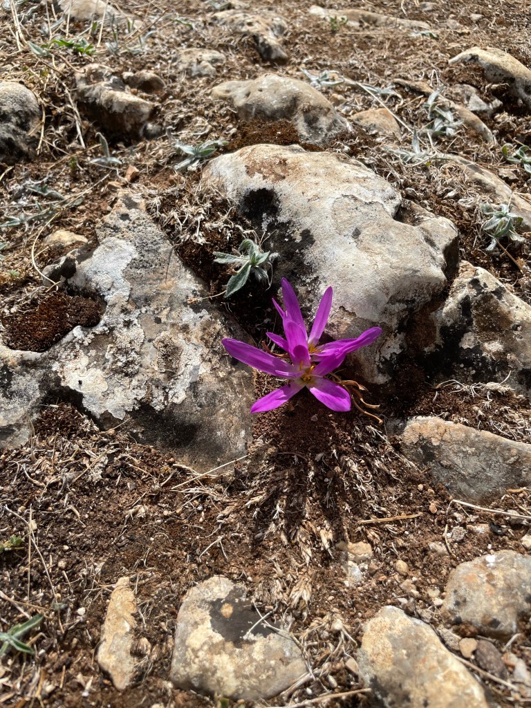
It was the best night sleep I’ve had so far, no noise and we had bed sheets, so no sleeping bags! We woke up at 7am but it was closer to 9 when we finally left.
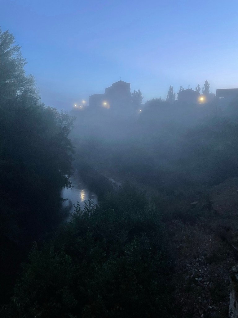
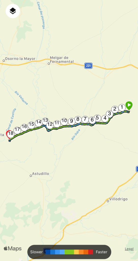
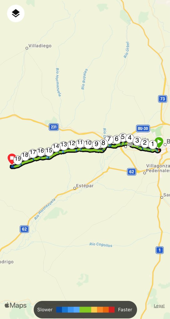
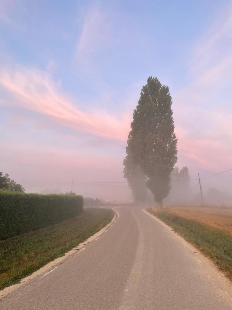
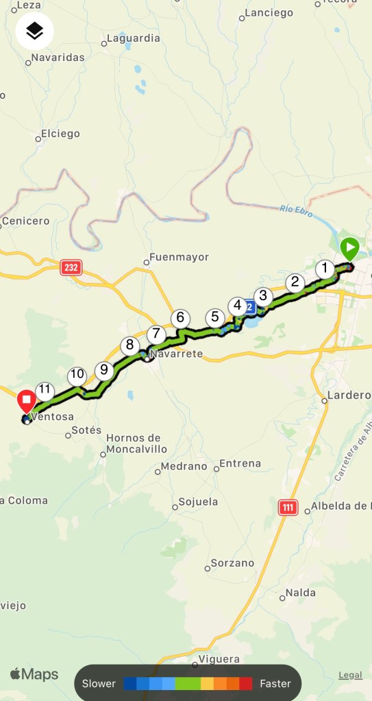
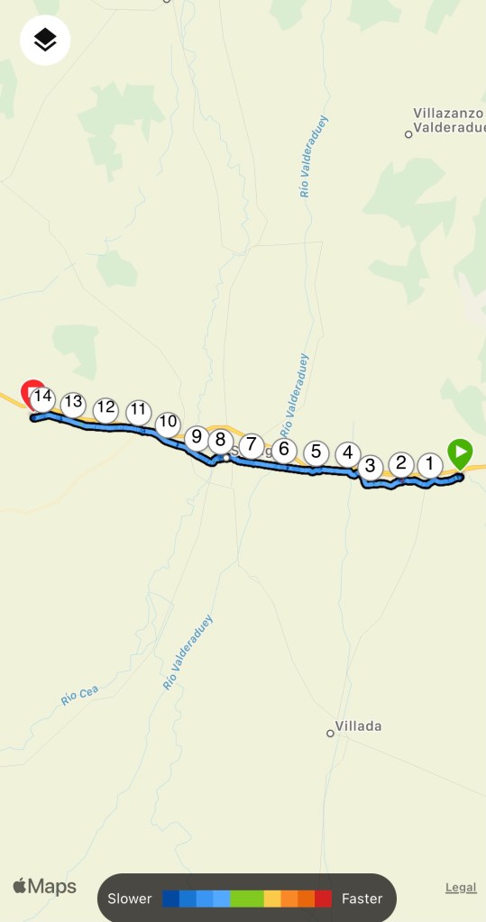
It had rained during the night so the air was refreshed and cool; perfect walking weather. The route took us through the village centre and out over the old bridge.
Sandra and Dirk stopped at the pharmacy but I went ahead as my Achilles was hurting resulting in my pace being slower, that way I can be caught up.
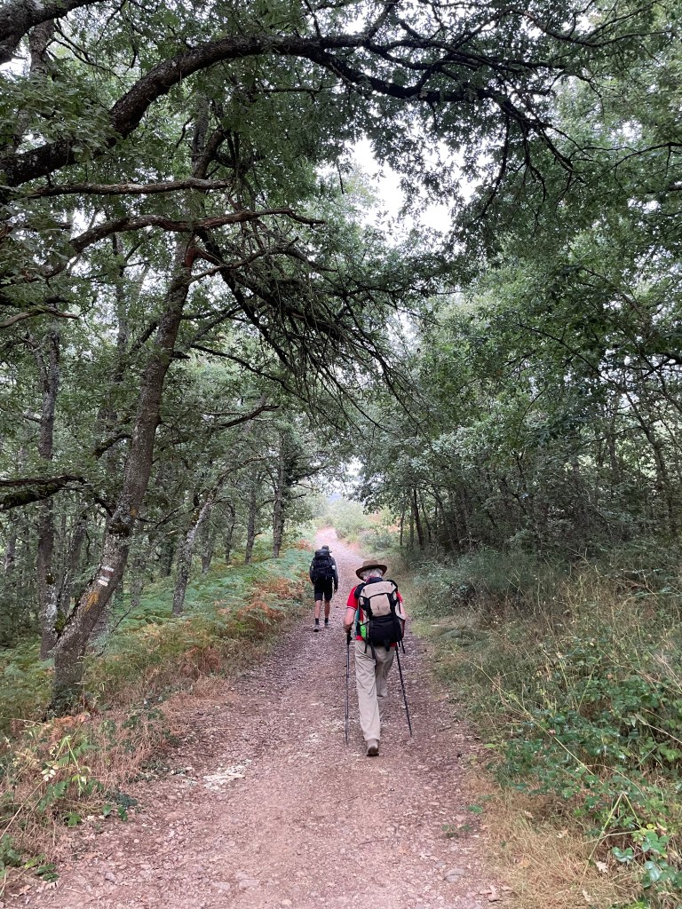
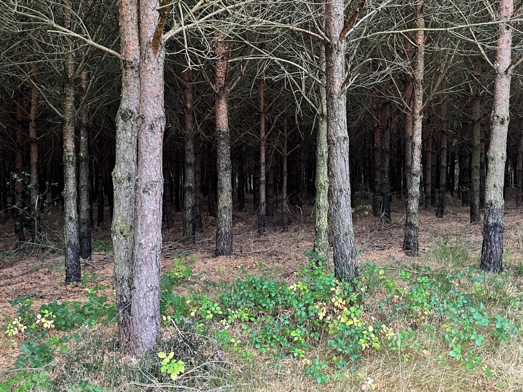
The path descended from the village before climbing up through a pine forest. At this point a crayfish decided to cross the path in front of me! Just bizarre.
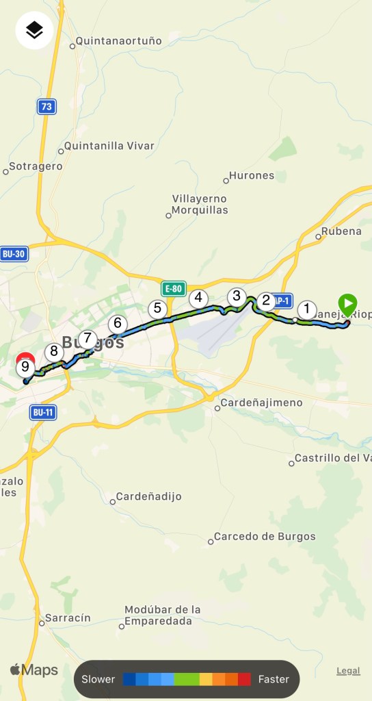
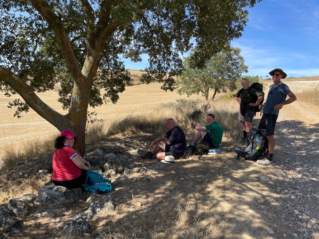
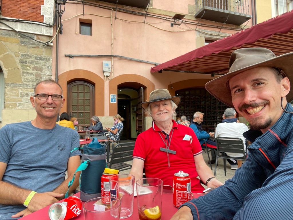
After the steep hill I hobbled into Maneru, stopping at a bar. It wasn’t long before Brian, who I’d last seen in Uterga, arrived followed by my two traveling companions.
Here I took some ibruprofen and put some kinesiology tape on my ankle and tendon. After an ommelete we continued on. The pain by this time had subsided.
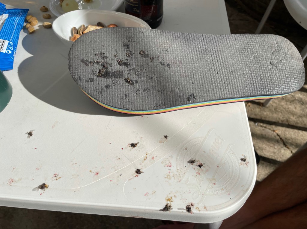
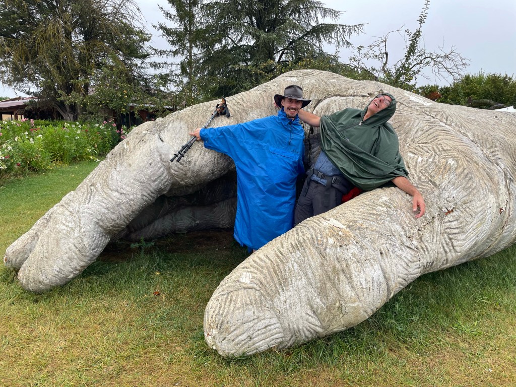
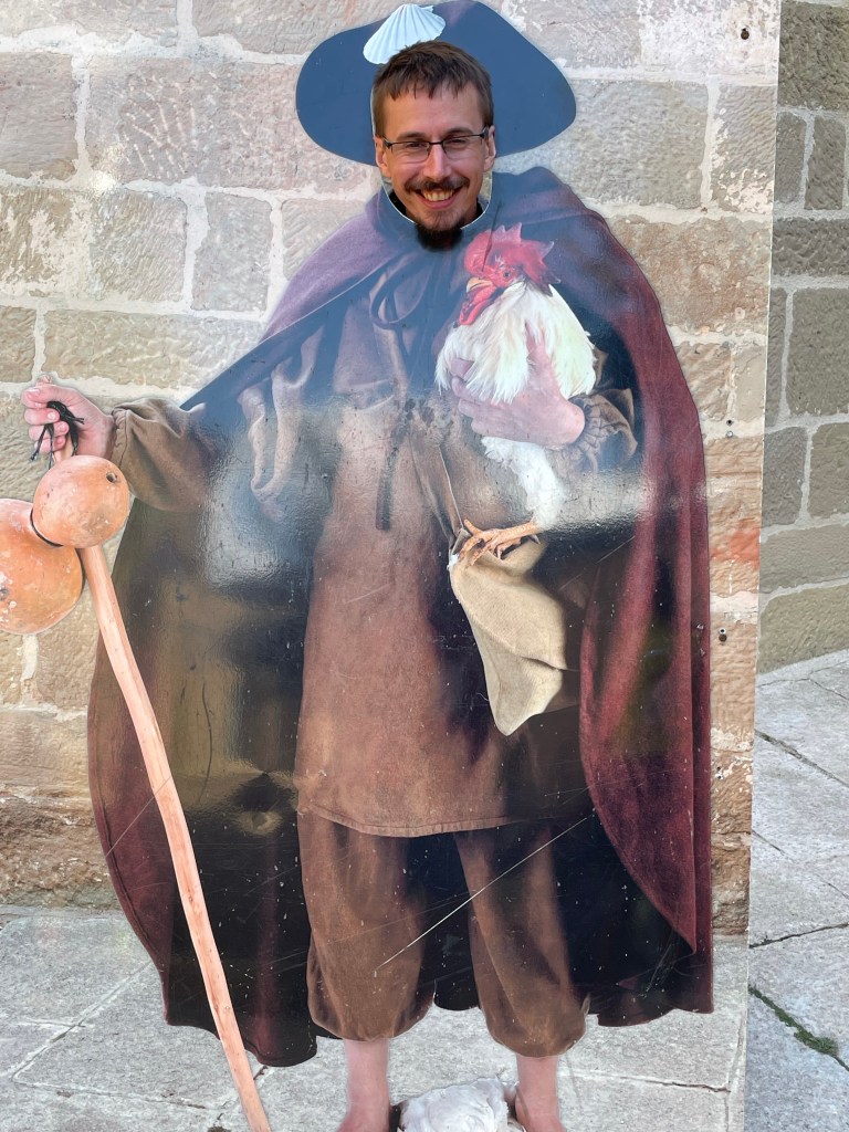
Come at me bro
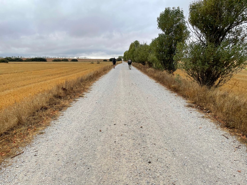
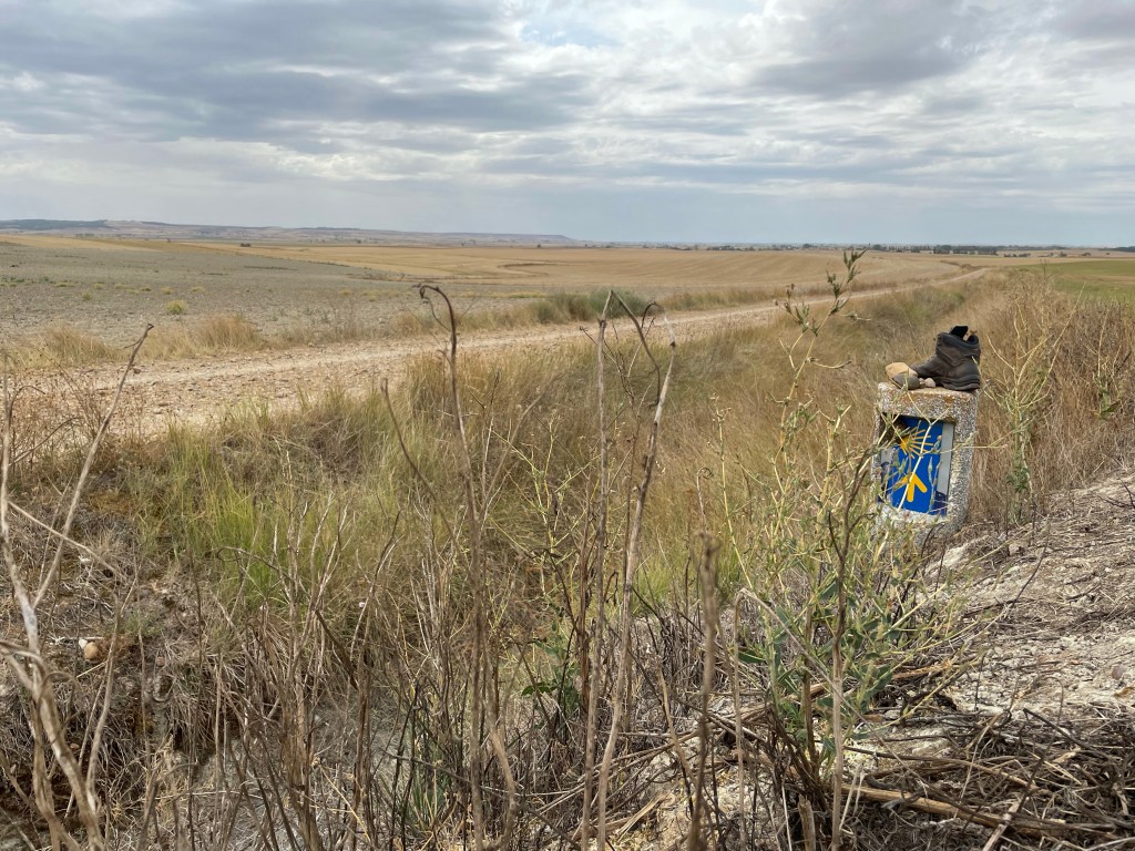
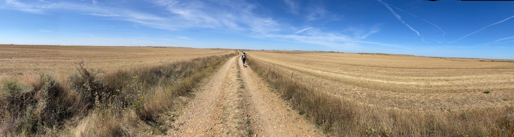
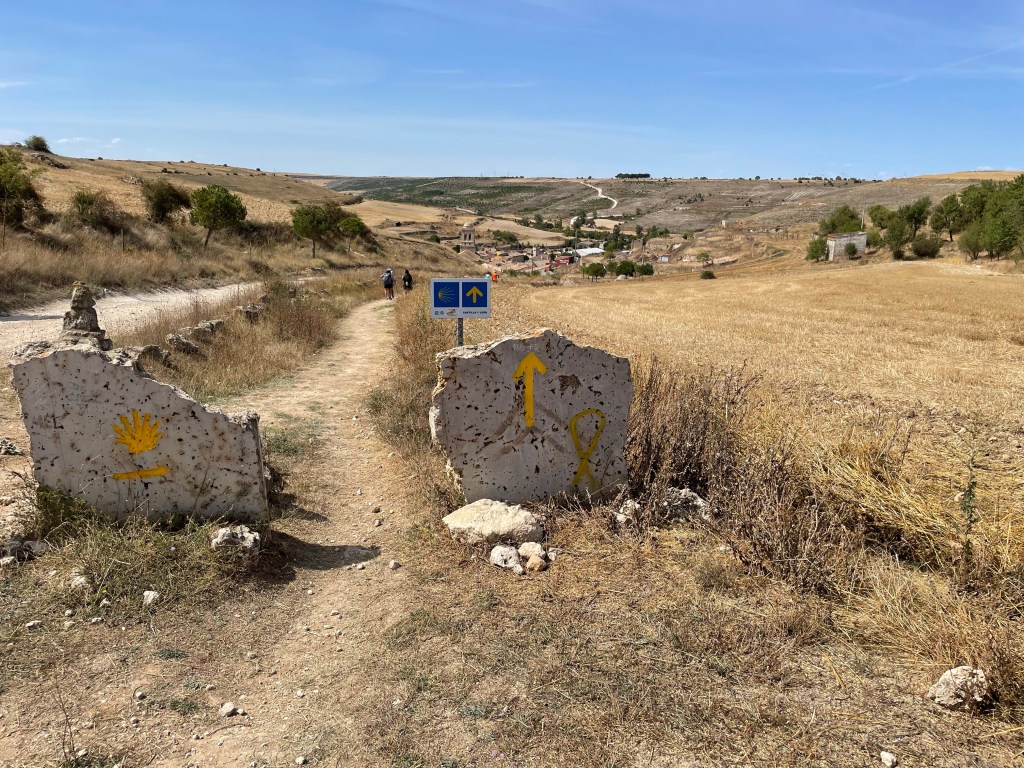
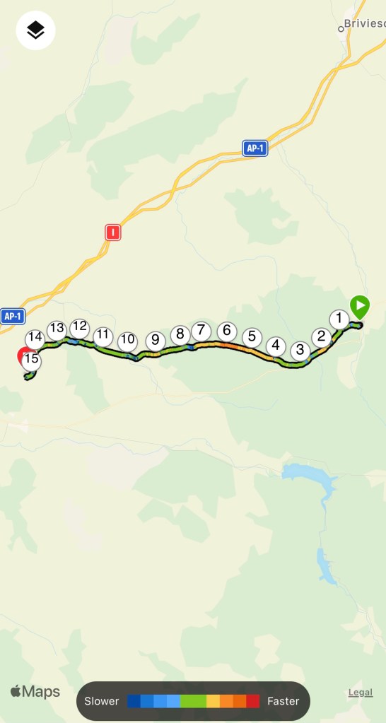
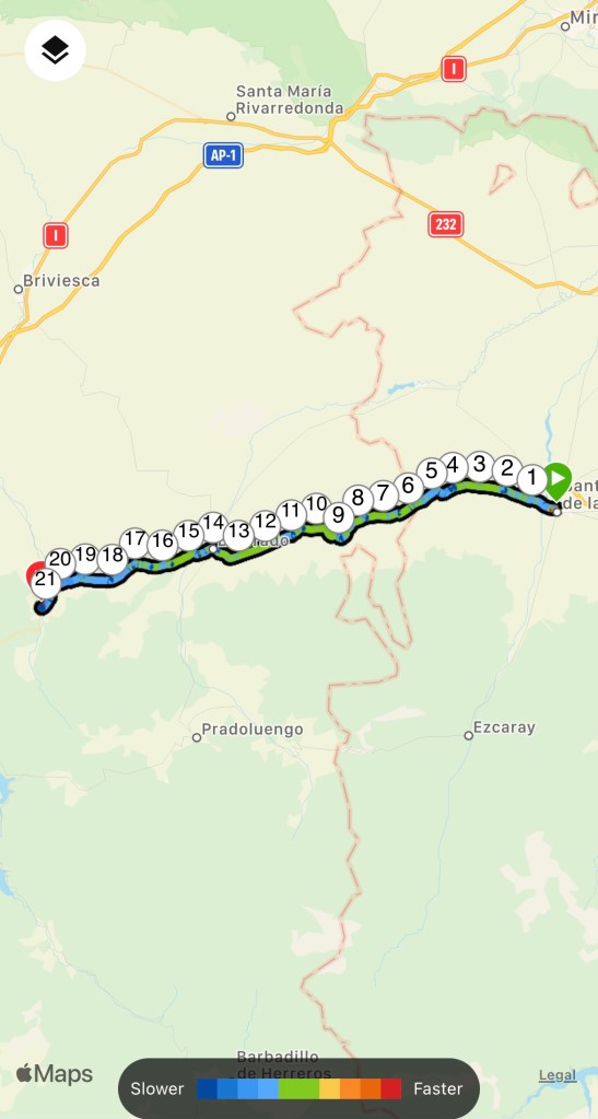
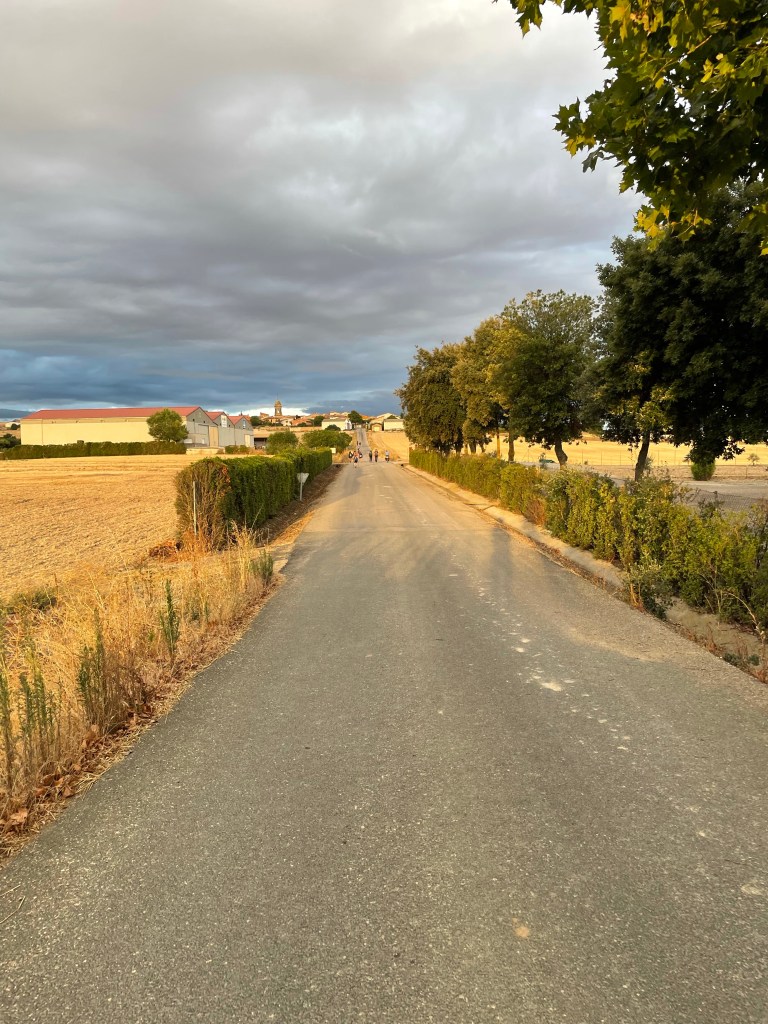
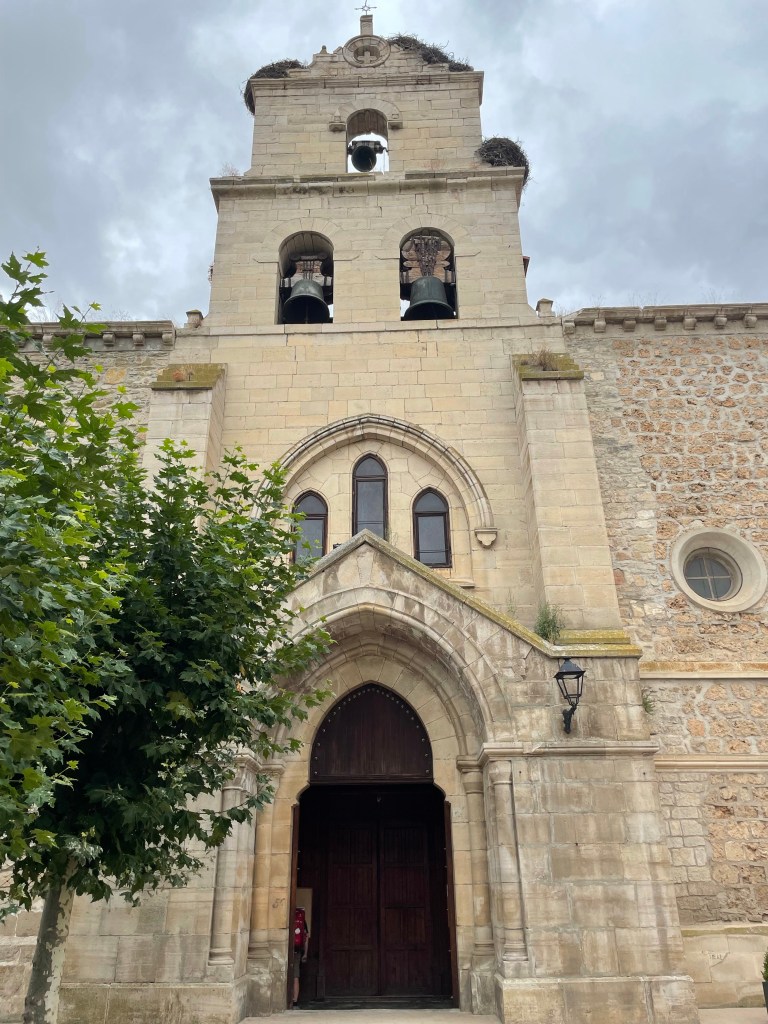
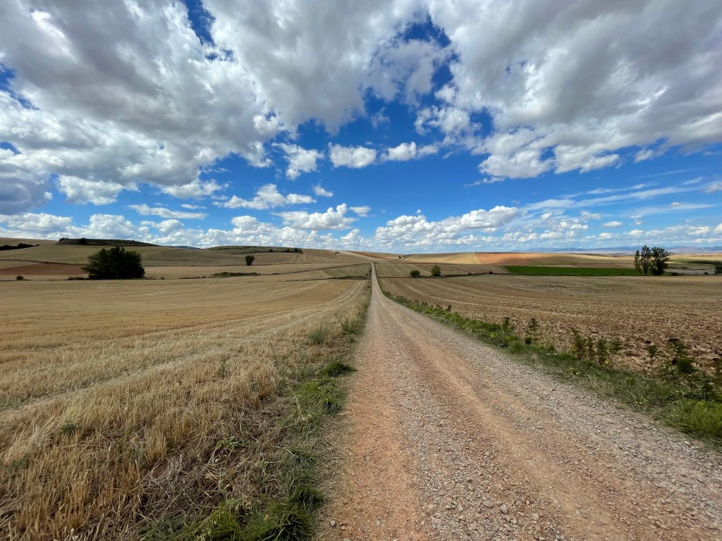
The 3 of us left the town passing more farmland until Cirauqui came into view. Perched on top of a hill where the path wound up through the narrow streets past the centre of town where we got a stamp for our credentials.
As we descended out of town I crossed paths with a pilgrim called Gabriel, from Poland. She was walking at fast pace but we got chatting, so I kept up.
As we passed a ford, Gabriel wanted to soak her feet, but I continued on. In front I could see a sombrero peaking above a hedgerow. That could only mean it was Brian!
Cirauqui
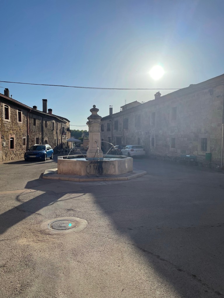
I caught him up and walked with him as we navigated a vicious hill. We entered a little village called Lorca where a much needed stop was required. In a local shop on the village square, I got us two ice cold Shandy’s. Perfect!
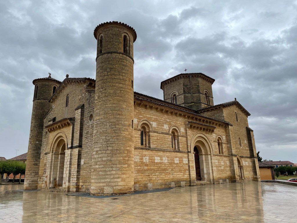
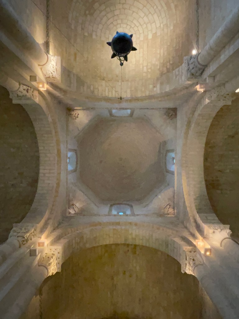
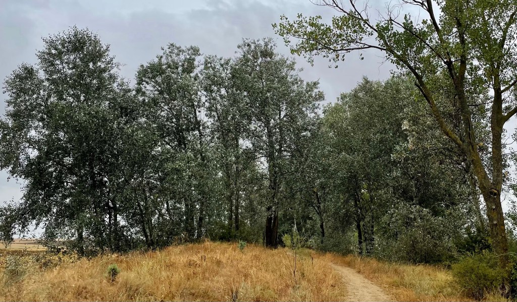
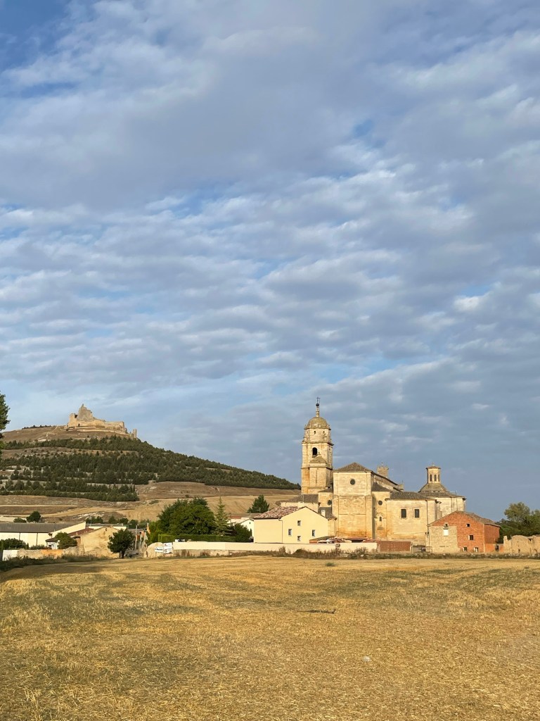
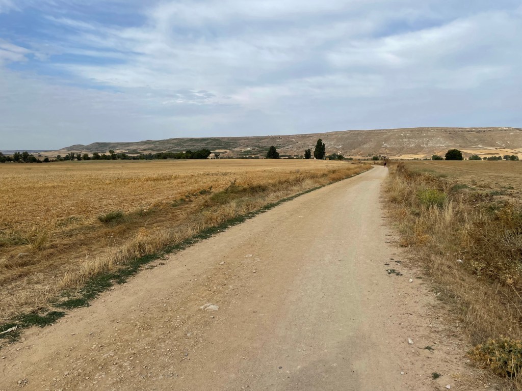
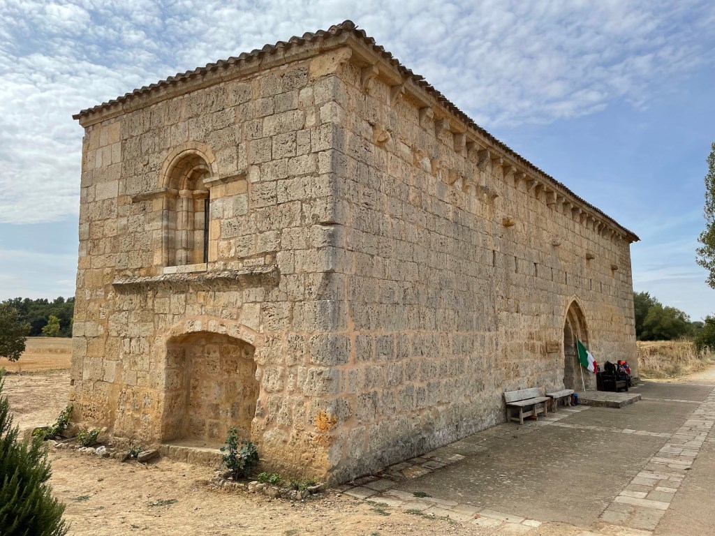
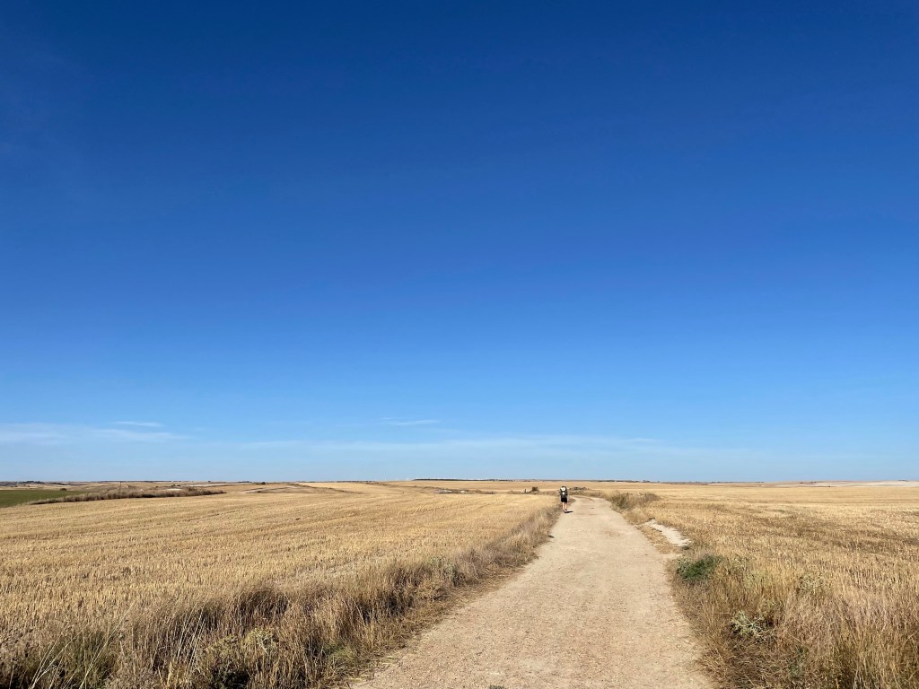
We then moved on following more farmland and passing through Villatuerta. Up a hill we came across and old church nestled amoungst an olive grove. We took a minute to explore before moving on to our final destination at Estella.
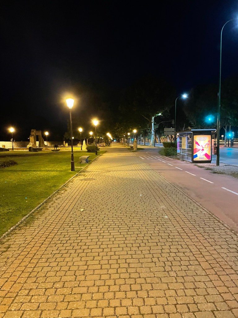
Once in town we booked into the albergue where we met Markus. At 7pm we headed to the main plaza for some food.
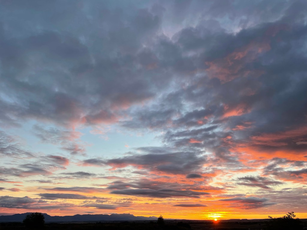
There was thunder and rain throughout the night. At 6 am the lights came on prompting everyone to get ready. I checked the weather forecast and at midday there was more thunderstorms.
Today we will be reaching another iconic milestone, the ‘Alto de Pardon’. The problem is it sits on top of a hill. This meant leaving asap, to cover the 13km to beat the storm.
We quickly packed our bags, pulled on our waterproofs and stepped out into the rain. The dawn streets were very picturesque in the rain.
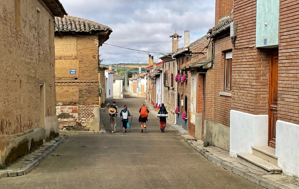
Dirk, Sandra and Brian
The Camino left straight out of the city, although it wasn’t well marked and we ended up on the wrong road. A jogger stopped and pointed us in the right direction.
We were soon in Cizur Menor where we stopped for breakfast. I got the chance to use my pigeon Spanish! We finished up and went back out in the rain to start the ascent to Alto de Pardon. At this point it was very muddy so progress was slow.
As we approached Cizur the rain stopped and the sun came out. We paused at the church removing our waterproofs before continuing to the summit. Luck was on our side, as the rain held off until we began our descent. However it was a short shower, the last for the day.
About 1230 we reached Alto de Pardon where we were greeted with views back towards Pamplona with the Pyrenees as the backdrop, although obscured by the clouds.
It would had been nice to see the peaks to mirror the picture I took two days earlier, but I was glad I wasn’t having to dodge lightening bolts; an acceptable trade off considering the initial forecast.
After a few pictures we headed down into Uterga where we stopped for lunch. Finishing the much needed food stop, we continued on to Puente la Reina, passing through Obanos.
Alto de Pardon
The route was mostly flat from Uterga causing the miles to fly by. The views were back and it was pleasant to walk again.
Sandra was struggling with her feet so we stopped in the first albergue we saw. After a shower and breaking the washing machine and being a royal pain in the neck to concierge around the usage of the drier. We headed to a local supermarket for some light snacks to bring back for the evening.
With only my traveling companions sharing the dorm, I slept mostly through the night. Waking a couple of times due to my legs being a little sore.
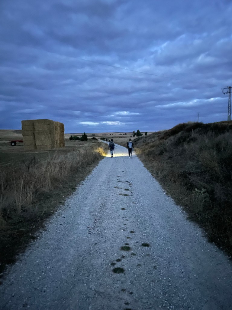
We had breakfast then hit the trail. The temperature was cool as the sun was still hiding behind the hills, which made pleasant conditions.
The path skirted around a magnesium plant and remained relatively flat passing through woodlands.
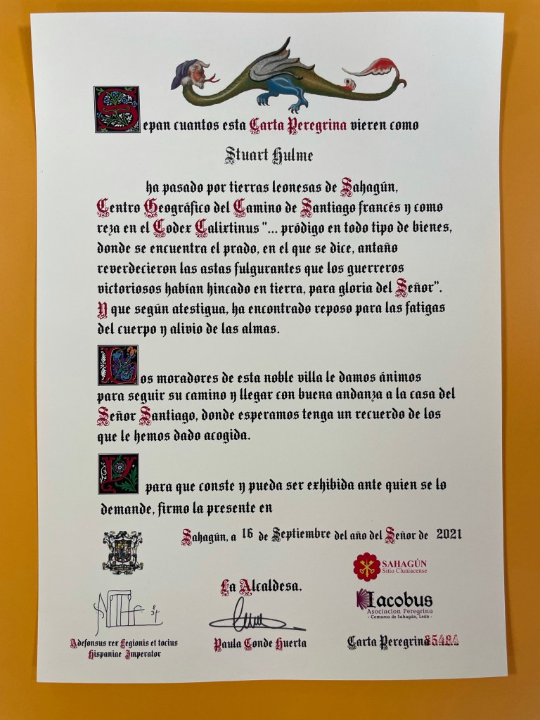
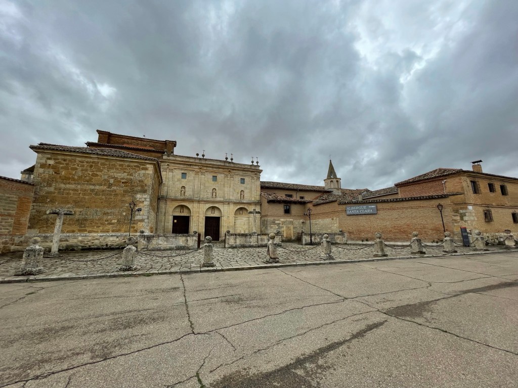
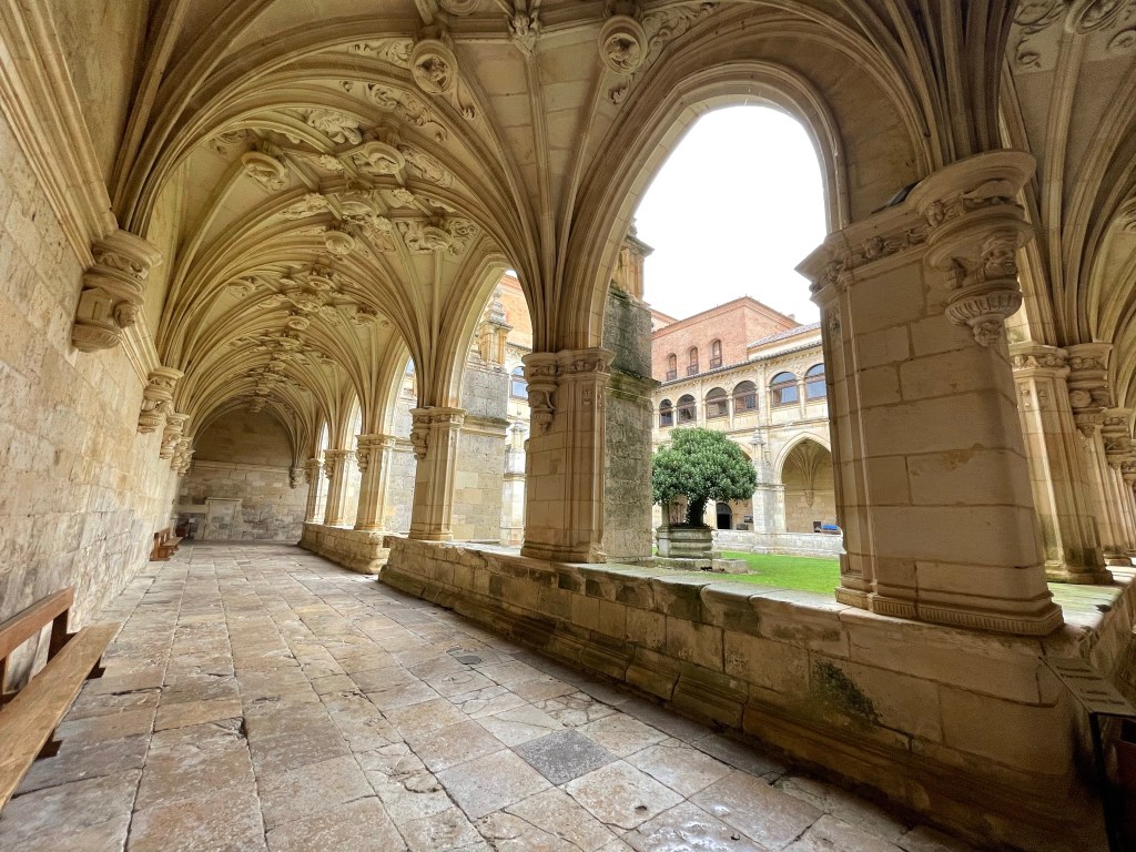
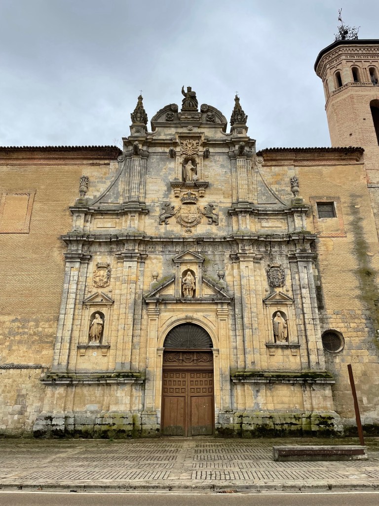
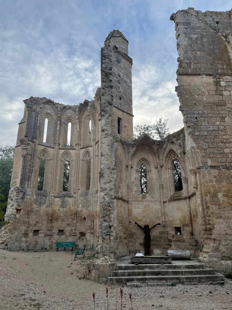
We passed an abbey that is being renovated and offered a stamp for our credentials. We called in for a picture and to collect the stamp.
We soon arrived in at the little hamlet of Akerreta. If you have seen the film “The Way” the albergue where they introduce the character Sarah, was filmed here.
The path continued through the shade of more woodlands following the river Arga before crossing a bridge at Irotz. I was running out of water, but luckily there was a fountain here.
The path followed a highway for about 600 metres before it went back through the woods. Then crossed under the road to climb up a hill. It was shortly after midday and we opted to skip Larrasoana for lunch and aim for Pamplona.
We were flagging at this point as Pamplona was further than we thought. It was here we had a bit of Camino Magic. In a small shaded area, a kindly gentleman was selling fruits and cold drinks. Up in the hills, no vehicular access!
I bought an apple, it was cool and refreshing; just what I needed. From here on, it descended into Pamplona. The scenery becoming more urban.
We entered the outskirts of Pamplona following the main road until we reached the river. We followed this into the old town behind huge fortifications.
Here I met Brian, a chap from California I met in Roncevalles. We walked into the old town together, however we managed to lose our way and couldn’t find the cathedral, the end point of the day.
Luckily I had set up a WhatsApp group with my traveling campanions and was able to get a bunk at the municipal albergue. It is within a huge hall, where they have built two floors in the middle of it.
I remembered the earplugs this time and used my snood as an eye mask. The only bathroom for two dorms was accessed through our dorm. Throughout the night the door to the hallway was in constant use, flooding light over us weary pilgrims.
Just before 7, everyone was up packing their bags. All the activity spurred me to do the same. My clothes hadn’t fully dried, so a shoved it in the drier while I wrote in my journal.
Around 8 I set off with a fellow walker from Poland called Sandra. The morning air was crisp so I couldn’t wait to get moving.
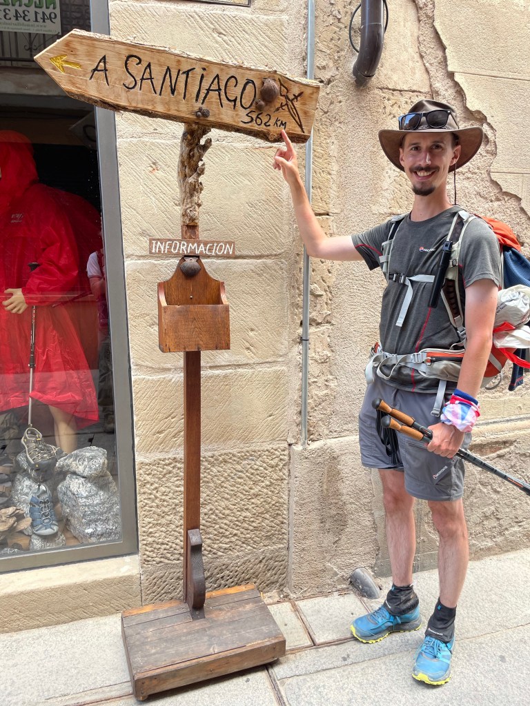
After crossing the road outside the monestry, the sign to Santiago showing 790km away; reminding us of the task ahead.
From here it followed the road into a quaint village called Burguete. We stopped at a supermarket where I brought some fruit. The path merged with the main the road, before turning off on to a farm track and across a ford.
By this time the sun had burnt off the light cloud cover, giving views of the mountains I crossed the day before. The path passed some cows grazing on the verges before heading into more woodlands.
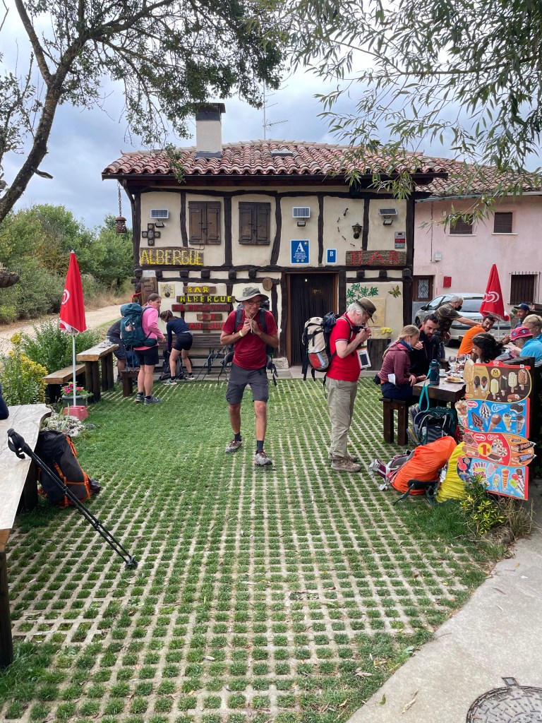
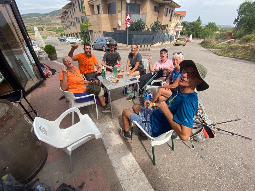
The path went up a short steep incline before descending into Espinal, where the church bell rang to announce our arrival. We called into a bar for a break at which point two fellow pilgrims who shared my dorm last night joined us; Dirk from Belgium and Markus from Paris.
They stopped for a drink before we all set off as a group. The trail was mainly in woodlands until we entered a little hamlet called Lintzoain where we had our sights set on a bar for dinner.
Unfortunately it was closed, so we sat outside in the shade and ate some of our snacks. While we were munching away, a bloke with three laden donkeys in tow, a dog and a small procession of goats walked past us!
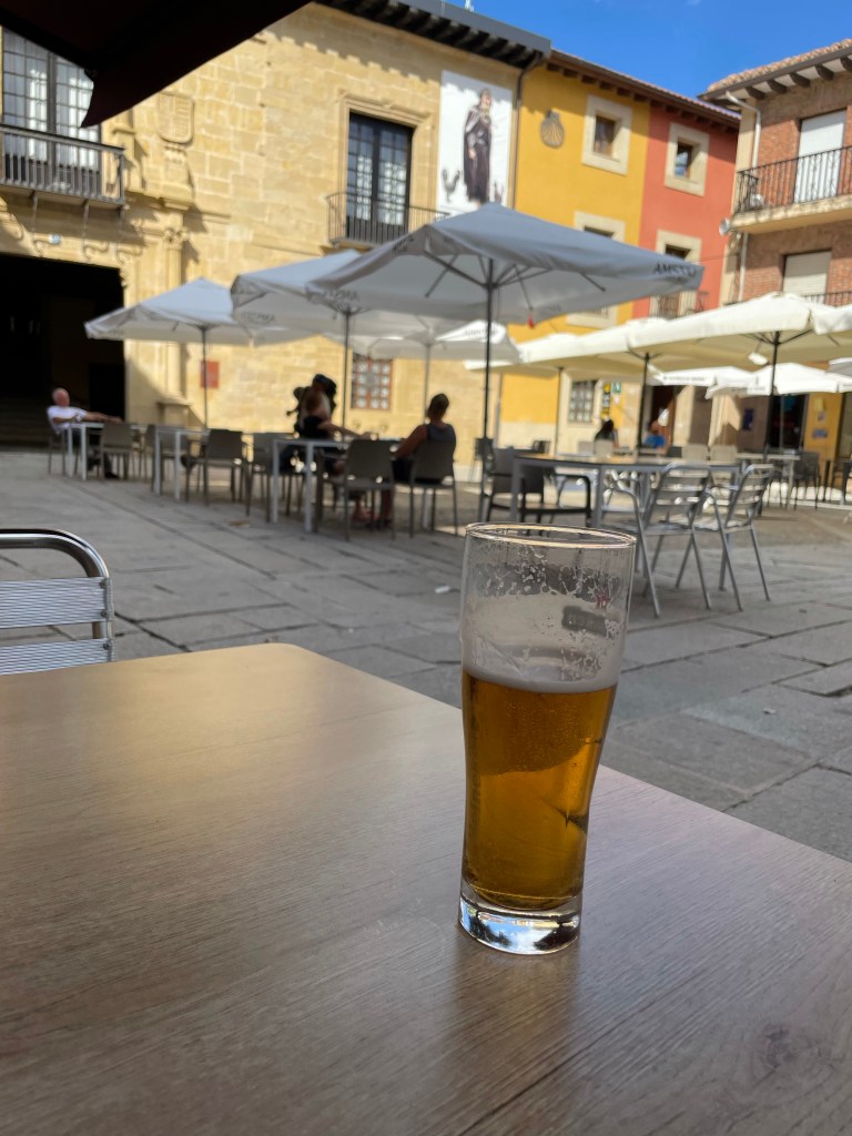
From here it was a steep 75m rise before the 6km decent into Zubiri. Where we found room at an albergue. After a quick beer at a local bar we returned to the albergue for a pilgrims meal.
My sleep was almost non-existant last night. The window was closed forming a hot box and I had my first encounter with the dreaded snorer. This was also coupled with my excitement for starting the Camino.
At 0700 I jumped from my top bunk to get some breakfast. I ended up chatting to a chap from London called Matt who’s next stop is Orisson, my half way point for the day. Another chap from Ireland (I didn’t catch his name) is planning on doing as much as possible in 2 weeks; he’s planning 30km days!
After finishing my breakfast I packed my gear and headed to the pilgrims office to pick up my credentials. This is a passport that is stamped each day at your albergue.
The most important stamp and the first was for the St. Jean office. I put a donation in the tub and collected my scallop shell that is tradition to adorn your backpack.
As I left I bumped in to Sophie from the Netherlands who was in the bottom bunk in the Gite. We got chatting and decided to be walking buddies. She was also bound for Orisson.
We set off and passed under the bell tower then crossed the iconic bridge that marks the start of the Camino.
We left St. Jean behind climbing out of the town and joined a small country road that steepened fiercely.
The sun was out giving excellent views of the Pyrenees. However it was tough going, to see those views; the incline was devilish.
We arrived at Orisson where we had a bite to eat and a cold drink. We wished each other a safe journey and we parted ways.
The severe incline continued on the small road, barely able to fit two cars abreast; there was a surprising amount of traffic.
After about 8 miles the road leveled and from here on it undulated, until it was time to follow a footpath up another steep section.
The path rounded the peak and descended into a woodland that offered shade from the midday sun. Up to my left, a line of horses that had cattle bells dangling from their necks, were making their way through the trees. There was no sound but the ringing of their bells. There was something quite magical about.
It wasn’t long before I came up to another iconic mile stone. The waymarker detailing how far to Santiago. 100 metres from that I crossed into Spain.
The undulating path continued until I reached the pinnacle of the Pyrenees section to mark my decent to Roncesvalles. In the distance amoungst the haze you could see the windfarm indicating Pamplona. I’ll be there two days from now.
I began the descent opting for the more gentler route and as I rounded a corner, Ronvevalles came into view for the first time. This gave me a spert of energy, much needed at this point.
I soon entered the woodland offering more protection from the sun and strode into Roncesvalles. I’ll be staying in the old monestry, the same place Napoleon stopped when he entered Spain for one of his wars.
It has been a long time coming, but at 1035hrs this morning, I boarded my Airfrance flight to Biarritz!
The flights and change over in Paris was painless and all on time giving me 1.5 hours to catch the train. About 20 minutes from landing into Biarritz I caught my first glimpse of the Pyrenees in the distance; looking like mere mounds from the airplane window.
With luck the second bag through the luggage carasel was mine, and as it was an internal flight, all the border checks had been done in Paris. I grabbed my bag and walked straight out onto the taxi rank.
I did contemplate walking to the station but after seeing it was 6 miles away, I wouldn’t have time.
From Bayonne station I took the train bound for St. Jean to my bed for the night. I reserved a bunk in a gite called “Makila”. In France these bunkhouses are called “gites” where as in Spain they are “Albergues”. With breakfast included, there was no contest.
Bayonne Train StationTicket to Ride
Now my journey has begun, I can finally cease my daily ritual of checking the French government website for any changes to the travel requirements. I was verging on paranoia that Covid was going to give another plot twist in my Camino saga.
To give me the best chance to avoid any potential pitfalls, I’d printed and signed a few copies of the covid declaration form required for entry and downloaded the french version of the NHS app to evidence my vaccine status. However I have yet to be asked to show my papers, other than my NHS QR code in Manchester.
The past four weeks I have successfully avoided anyone with slightest inclining of a cough!
Leading up to today, my anticipation has been high and constantly restless. I felt like a child leading up to Christmas, excitedly counting down the days. Now I’m here I’m eager to walk.
I had a walk around the town before grabbing a bite in a quaint little restaurant. The Gite is within the old fortifications of a castle and backs on to the outer wall. After my meal, I took a leisurely stroll along these ancient ramparts, a warm up for tomorrow.
With all that we have been through since the beginning of 2020, I have been suppressing my excitement as September approaches; in 19 days time I plan to depart for France to begin my Camino. The trek has been rescheduled twice now due to the ‘Rona’ and being able to have a block of 6 weeks off work is a rarity. The collateral issues for my colleagues in booking leave over these periods, isn’t doing me any favours. It is likely this will be my only chance to undertake the journey for the foreseeable future.
I’ve been keeping a keen eye on the lockdown situation across northern Spain. At the moment the Camino is open, with over a thousand people registering completion at Santiago each day. 90% of hospitality services are open; everything is looking good at the moment for traveling this ancient route.
The first hurdle is getting into France; currently they are accepting travelers from the UK to enter the country on the proviso that they are double jabbed and completed a declaration form, to say they have not been in recent contact with anyone with Covid; no PCR test is required at the moment. The next hurdle is getting into Spain from France and according to the foreign office it is a similar arrangement.
It is looking promising and I can only keep my fingers crossed that it will stay like this or improve. Potentially the only issue I may encounter is on my return to the UK, if the government decides to put Spain on to the red list; but that is a headache for mid October.
Derwent Water from Walla Crag
The 18 month delay has afforded more time for me to obsess over long distance hiking videos and equipment. As a result, I have had a change of heart regarding my footwear. I originally opted for walking boots and bought a pair of Scarpa Mistral GTX. These boots carried me through my Scotland through-hike back in September and performed very well.
A comment that I often saw from people who had walked the Camino, was most of the time they walked in their sandals due to the heat. If I were to follow suit this would mean I’ll be carrying extra weight; this has caused me to re-evaluate my choice.
Autumn last year I fell down a YouTube rabbit hole, watching videos of hikers undertaking the Appalachian Trail over in America. This is a mammoth through-hike exceeding 2000 miles, covering some difficult terrain. One thing I noticed, is that trainers were the choice of footwear!
It seems an odd choice, considering they get a battering and end up falling apart, needing to be replaced; it isn’t uncommon to go through multiple pairs. If you think about it, the amount of miles being undertook, it makes sense to have a very comfy pair of trainers and having the inconvenience of getting them replaced seems to be an acceptable trade off. This was something I had addressed with my walking boots, as I’ve since replaced the insoles with gel cushioned inserts.
Having spent most of this year tackling this quandary, the solution came to me while walking some of the ‘Wainwrights’ back in June. While ascending ‘Bleaberry Fell’ in the full heat of the midday sun, a fell runner sped past me. The answer was there, trail running shoes!! After hitting the interweb, I’ve now swapped my Scarpas for Salomons.
Saloman Trailster 2
This Gore-tex trainer (although brighter than I expected) is what I have chosen. To accompany these, I have bought some wicking trainer socks that have a thicker sole to allow for more cushioning. To stop stones and grit getting in, I’ve also acquired some trail gaiters.
I’ve taken these out for a test drive and the waterproofing works, the only slight niggle is when I’m stood still, it feels like it digs slightly into the underside of my ankles; I think this will go as I wear them in.
My next task now is to take them out on more walks and to book flights and accommodation for the 28th! I think I can get excited now?!
After the energetic hiking over the central fells the day before, we opted for a gentle walk to the Castlerigg Stone Circle via the old railway line that once connected Keswick to Penrith.
The Route
The starting point for the day was the old Keswick train station situated behind the swimming pool. The tracks have now been replaced with freshly laid tarmac, making it ideal for cyclists and easy walking.
The path leads to Threlkeld following the River Greta, using the old Victorian bridges; the last remanence of the railway line. (Up until 2015) Just going to Threlkeld and back is a pleasant walk, however we will be leaving this path to head to Castlerigg.
Waiting for the TrainPlatform
We managed to get 750 metres down the path when we passed the Twa Dogs Inn. Still having the gorgeous weather we thought it would be rude not to have a cheeky drink.
We grabbed a table to the front of the pub and watched the world go by along the main road leading into Keswick.
We returned to the track and continued our journey. I last walked this route in 2014, however the following year, the old bridges were destroyed during Storm Desmond, making the route inaccessible.
Cockermouth was one of the most devastated villages in the area due to the severe flooding that followed in the wake of the storm. Keswick didn’t escape unscathed, most notably along the River Greta.
The whole route had to be rebuilt to reconnect Keswick back to Threlkeld; it was reopened in 2020 at the cost of £8 million. The path used to go under the flyover that was created so the A66 would bypass the town.
In the building of the flyover, the Bobbin Mill Tunnel was filled in and buried to ensure the foundations were solid enough to support the this engineering feat. This was excavated as part of the reconstruction, now forming a feature on the route.
A66 BypassBobbin Mill TunnelExcavation
The cool air inside was a welcome relief from the now hot midday sun. You could still see the soot stains on the roof of the old brickwork from countless of steam trains that once travelled this line.
Emerging on the otherside you are presented with lofty views of the river where you are able to see the entrance to a disused Victorian graphite mine. Graphite was mined here primarily for military moulds, but also pencils; hence the pencil museum in Keswick.
It was nestled in the bank down stream and you had to duck down to see through the branches of the trees that overhung the banks, to spy it.
River GretaRiver GretaGraphite Mine
We pressed on following the river, crossing the recently rebuilt bridges that were swept away by Storm Desmond. Still six years later, you can see the evidence of the devastation caused by the flooding.
The river banks are lined with huge dead trees and the exposed earth from landslides, are a constant reminder.
We left the river briefly as we crossed farmland that also didn’t escape from Desmond. The path has been diverted to skirt round the old route.
Remanence of the Old Path
Eventually we met the river again for the last time on this route, as we veered off the path to head towards the crossing point of the A66.
This was just after a small train stop that is now used as a resting area for weary walkers. We crossed a couple of fields in the shadow of Blencathra to reach the underpass.
Walkers StopPath to A66BlencathraMuddy Underpass
After wading through the muddy and damp underpass to reach Burns lane. Turning left; views of Clough Head dominated the landscape. Continuing along the road following the signs for the climbing centre and the stone circle, the scenery changed again.
This time we had views of the Wainwrights we conquered the day before. Passing the climbing centre on our right, we came upon a glorious sight. An ice cream van! The prospect of a 99 flake was too much to pass.
After buying a round, we sat in the surrounds of the Castlerigg Stone Circle, to feast on our quickly melting treat. We were not the only visitors to the attraction; plenty of people meandered around the formations, enjoying the moment.
Clough HeadEerie TotemsBleaberry Fell and Walla Crag
Now with sticky hands from the ice cream melt, we left behind the stone circle making our way back into Keswick. We rejoined the disused railway line to complete our walk where we began, at the old train station.
Being very peckish at this point, we strolled into town to find somewhere to eat. Luck was on our side as we found an empty table at the Pack Horse Inn.
The weather this weekend could not have been any better. Perfect for the beer festival, had it not been postponed. Knowing our luck it will be a mud bath next year!
After spending Saturday catching up with some friends we hadn’t seen since before lockdown 1.0. We planned for a Sunday hike.
After a late start (we were a bit sluggish from the previous day’s festivities) we headed for the hills. Our aim was to summit Walla Crag, Bleaberry Fell and High Seat. Three Wainwrights within the Central Fells of the Lake District.
We left the hustle and bustle of Keswick behind, skirting around the central thoroughfare that had been teeming with holiday goers all weekend. With Boris’ international travel embargo, everyone is spending their vacations within the beauty spots of the UK. Since the lakes is the by far the most scenic, it’s a magnet for visitors from every corner of the UK.
It wasn’t long before we started the footpath up to Walla Crag. It begins at a small cafe at the bottom of Springs Road; a small residential lane overlooking Castlehead Wood. The footpath takes you through a small woodland called Springs Wood; gently rising towards Castlerigg. You eventually turn right onto a country lane that shortly forks off towards the more strenuous stretch to Walla Cragg.
Walla Crag in the DistanceSprings WoodRight Hand Path to Walla Crag
The path leads down to a small ford and after crossing, begins the ascent. This certainly got the blood pumping; especially with the heat. Every time we caught the cool breeze we took a breather and admired the view.
It wasn’t long before we were at Walla Crag where fellow walkers had assembled to gaze over Derwent Water and Keswick.
Walla CragWalla Crag SelfieDerwent Water
We took a well needed water break before moving on to our next Wainwright. We left the small crowd of walkers behind soaking up the views. We climbed over a small wooden stile to join the main footpath to Bleaberry Fell.
Bleaberry Fell Pictured in the Centre
The path wound through the heathland on a shallow incline, passing the ruins of a dry stone sheepfold before we reached the foot of Bleaberry.
The incline steepened at this point, but this time we had a welcoming breeze to keep us cool all the way to the top. Luckily this was our last steep ascent of the day. We had the peak to ourselves and only joined briefly by a man and his dog.
Looking Back to Walla CragBlencathra in the DistanceSkiddaw and BlencathraPete’s FortSuluki Lurcher Pictured with her Owner to the Right
The dog was a Suluki type Lurcher, that stood on top of a small boulder looking out towards Blencathra. I was convinced she was breathtaken by the views and was admiring the landscape!
We ate our packed lunches around a small dry stone shelter that marked the summit of Bleaberry. After fueling up we set off towards our last Wainwright for the day; High Seat.
This section was mostly flat until a small scrambling section to the summit. The footpath crossed more heathland with patches that were very boggy; we strategically used small stepping stones to navigate the worst sections.
As we approached High Seat we came across some rock formations that caused us to pause for photographs.
Rock Formations
After a tiny bit of scrambling we made it to High Seat, our highest point on the hike. We took another short water break admiring the landscape before we followed the footpath down to Derwent Water.
High Seat Ticked OffLooking Over to Derwent Water
The descent crossed more boggy heathland until we made it to the stone footpath that you can see in the picture above. After spending the whole day in the sunshine, we were starting to fantasize about an ice cold glass of lemonade.
At this end of the lake, there are two watering holes we could take advantage of; the Lodore Falls Hotel or the Mary Mount Hotel. The promise of a lemonade spurred us on.
The Descent Quickened from this Point
The gentle decline came to an abrupt end as the footpath stopped at the precipice of a small crag. To navigate this bit, it involved some rock climbing!
I led the way, to find the path down and guide my companions on the placement of their footing. It was a bit daunting at one point but we reached the bottom all intact.
Rock ClimbingGuidingPete Survived
Having safely navigated the north face, we had the knee burning stage of the descent. This is the least pleasant part of any hill walking, but part and parcel of this pursuit.
We left the fells behind and crossed a stile on to farmland where a horse was enjoying the sunshine. We continued following a barbed wire fence and a dry stone wall until we reached the road that led down to the lake.
Sunbathing HorseFollowing the FenceAnd the Wall
We arrived at the road where a numerous footpaths converged, over a quaint stone built bridge. Several walking parties were milling around cooling their feet in the stream and basking in the sun.
Ashness Bridge
We followed the single lane road to the lake shore and headed south towards the hotels. The last time I was in the lakes, I walked the 10 mile circuit around Derwent Water; in the rain! The polar opposite of today.
I couldn’t resist sending a picture to my mate of the view, who was currently at work; he was part of the party that undertook that sodden trek two years ago with me.
On the Shore
We called in to the Mary Mount Hotel for that well needed glass of lemonade. A perfect beverage to end the walk. After enjoying the shade and a slight breeze in the beer garden, we walked the short distance to the bus stop to catch it back to Keswick.
The second lockdown imposed on us here in the UK over the winter period, has been arduous. It has heavily impeded our freedoms and our ability to get out rambling across the countryside; I narrowly avoided cabin fever!
The beginning of May saw the easing of the restrictions and I took advantage of a week’s leave by taking a short trip to Mow Cop on the Cheshire/Staffordshire border, calling in to see my Dad on the way.
This folly was built as a summerhouse in 1754 by Randle Wilbraham of Rhode Hall; purposely built to mimic a castle. In 1937 it was handed over to the National Trust who have looked after it since.
It was a wet, windy and cold day. In keeping with the unseasonably cold weather we were experiencing. The cop seemed to be on a weather front; looking towards Cheshire there were blue skies but dark and stormy towards Staffordshire.
View Towards CheshireView Towards Staffordshire
From here I took at trip to the other side of the Pennines to see my brother and his partner, whom I haven’t seen since Christmas 2019.
The plan was to do some walking but the bad weather continued it’s damp theme. So we decided to visit Castle Howard.
Castle Howard
If you are fans of the TV series ‘The Great’, you may recognise some of these pictures, as the estate is the setting for parts of the show.
We first wandered around the rose garden, the flowers were not in bloom yet and the gloomy weather gave it a drab look.
Gardners House
We continued walking around the grounds coming up along the Atlas Fountain that the rear of the castle over looks. This fountain features a few times in the TV show.
Atlas Fountain
Unfortunately due to Covid restrictions we were unable to go inside the Castle; it would have been nice to see the interior, for the very least to dry off a bit! I stupidly decided not to don my boots, resulting in my trainers being completely wet through!
Drowned Rats
Residing to our wet fate, we continued to meander through the grounds, to sound of my footwear squelching. On our now very soggy map, there is an Aztec pyramid within a wooded part of the estate. With the promise of an exotic building, we continued our exploration.
After about 30 minutes winding our way through ‘Ray Wood’ we stumbled across the the pyramid. It was some what of an anti-climax, as I was expecting a large building nestled within the wood.
Aztec Pyramid
However it was a collection of decorative bricks! We then made our way to the Boathouse before following the path past the front of the castle.
The views were great despite the weather. How the other half lived back in the day! The opulence on show starkly demonstrated the separation of those with money and those without it.
The amount of wealth the Howard family must have possessed when it was first built in 1701 is certainly evident. A whole different world!
Having seen all we could, we headed back to Leeds and my whirlwind tour visiting my family came to an end; I took the long drive back south to Northamptonshire.
Fast forward 3 weeks and further lockdown restrictions eased as June arrived. The first weekend in June marks the start of my annual pilgrimage to the Lake District, for the Keswick Beer Festival. Unfortunately for the second year running it has been postponed due to Covid.
Having already booked accomodation in advance and not to let an opportunity of spending time in the most scenic part of England pass by; we are still heading up. I aim to conquer some more Wainwrights and enjoy the return of our freedoms!
Bank Holiday Monday couldn’t arrive soon enough. I shoved my hiking clothes in my trusty Berghaus Leviathan duffelbag, chucked my faithful Osprey Talon backpack into the boot of my car and headed to my Mum’s in Warrington where I am due to meet my Brother on Friday, to travel up together.
The sunny weather followed me up as well! I couldn’t resist making hay while the sun shined and went on a short walk along the Bridgewater Canal to the Leigh Arms, at Acton Bridge with my Mum.
As we approached the Preston Brook tunnel, the damp cold air from the tunnel met the scorching hot air, creating an eerie mist over the water.
After sneaking through a field of cows who were more interested in sunbathing than us, we approached Dutton Locks, on the River Weaver.
Dredging the River
After eating our packed lunches we moved on to the Leigh Arms, where we picked a shaded table, to drink a well deserved pint.
Friday I will be heading further north for a week where I plan to share more of my walking exploits!