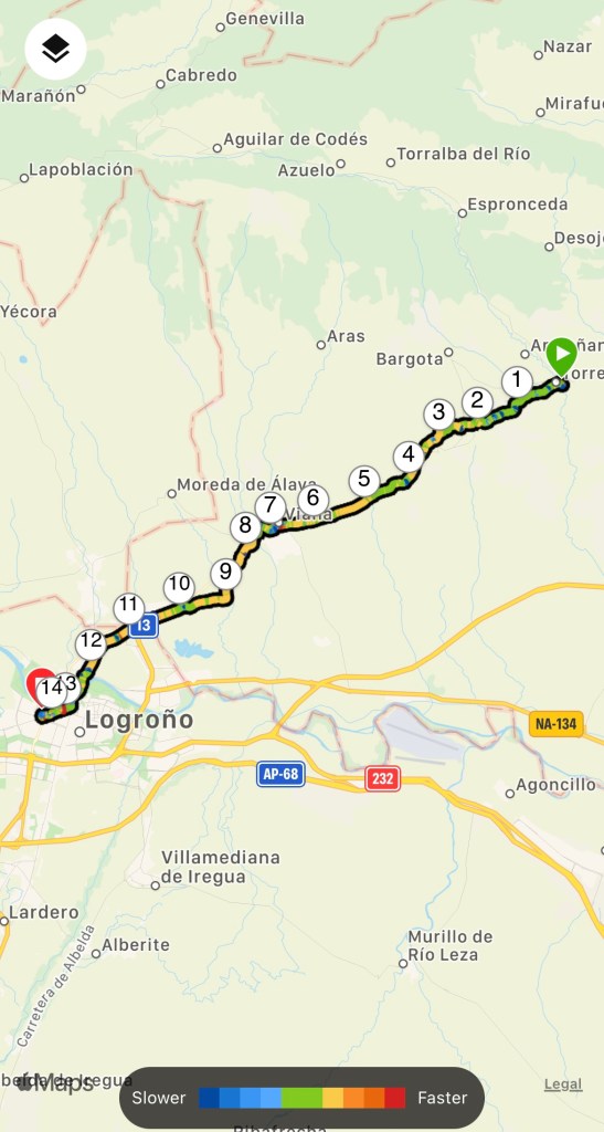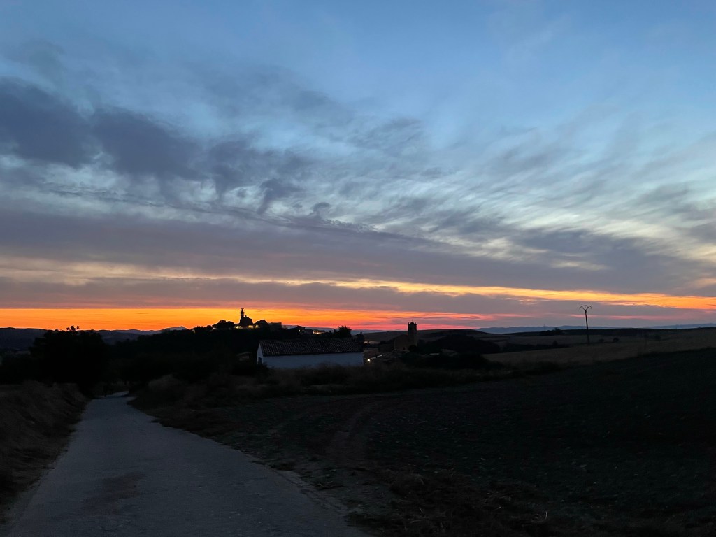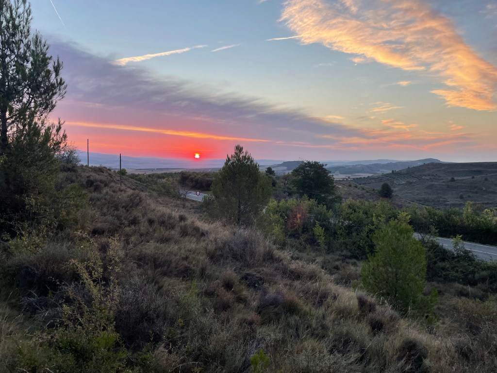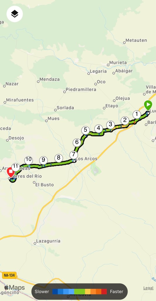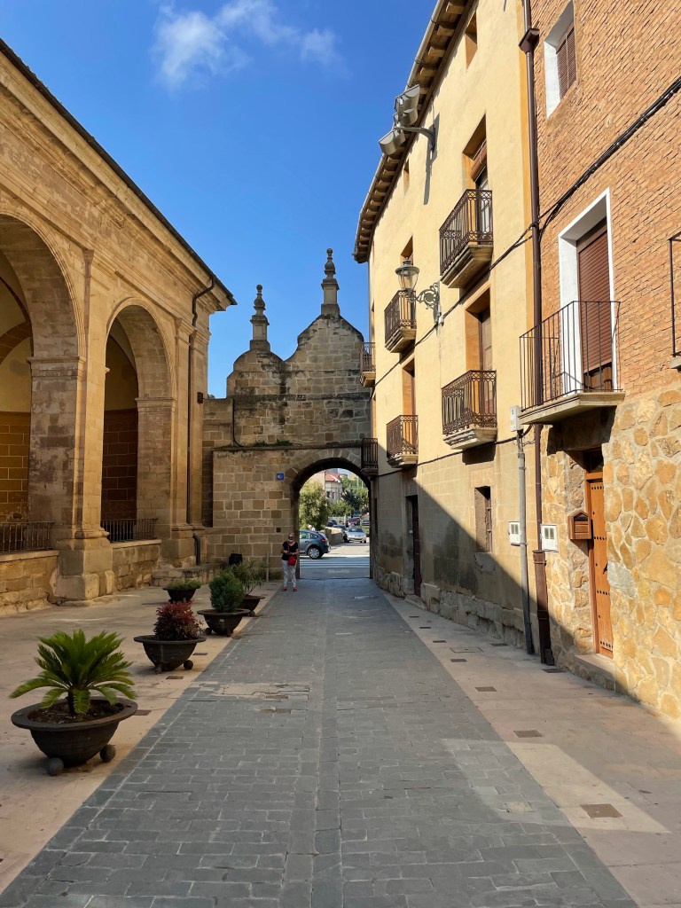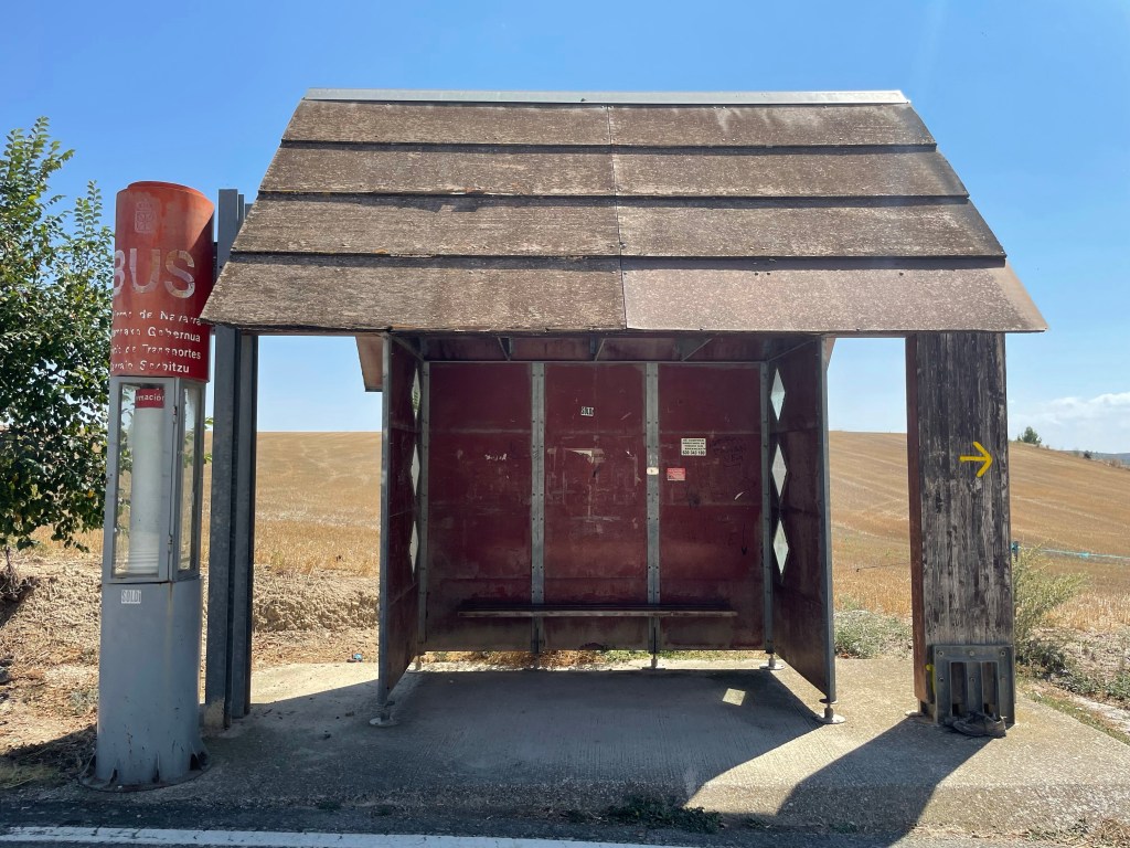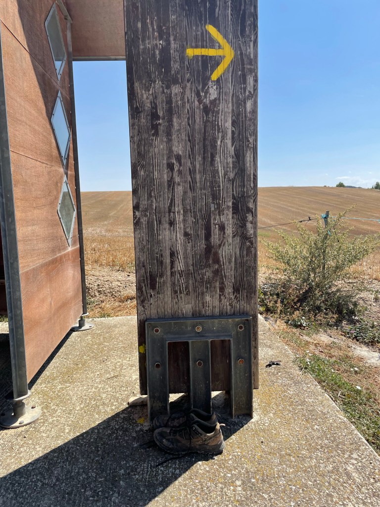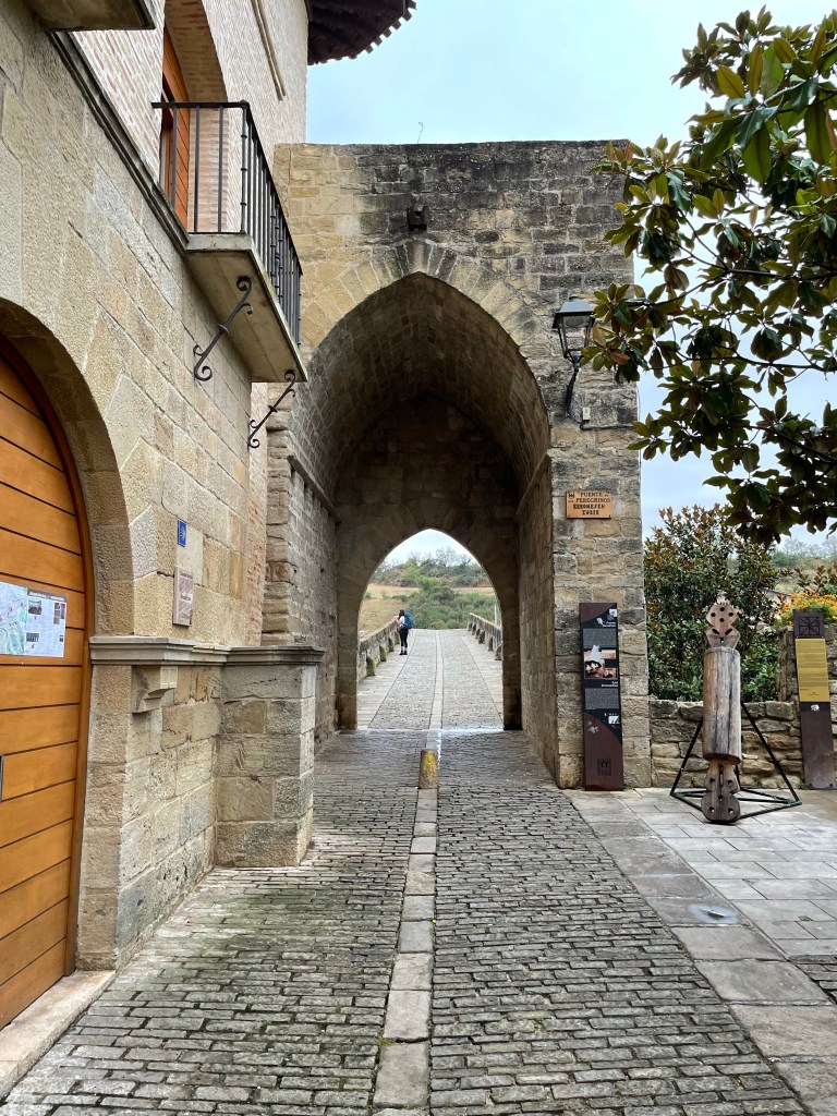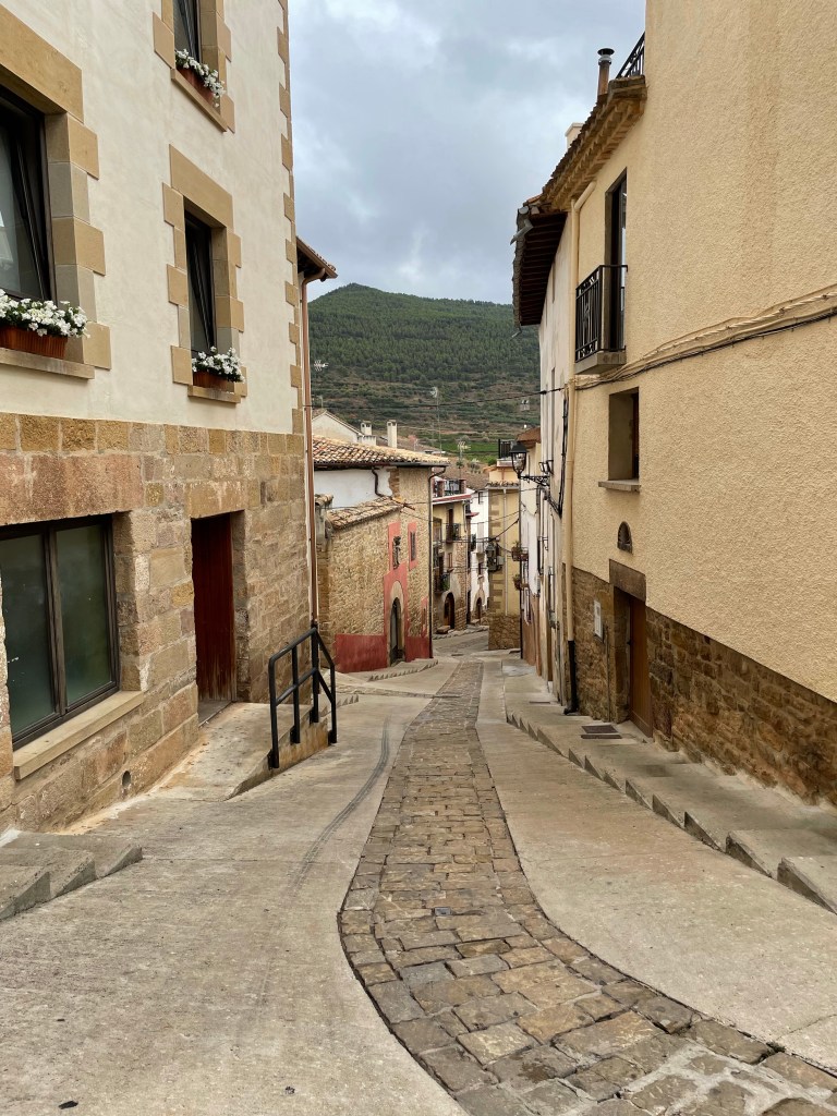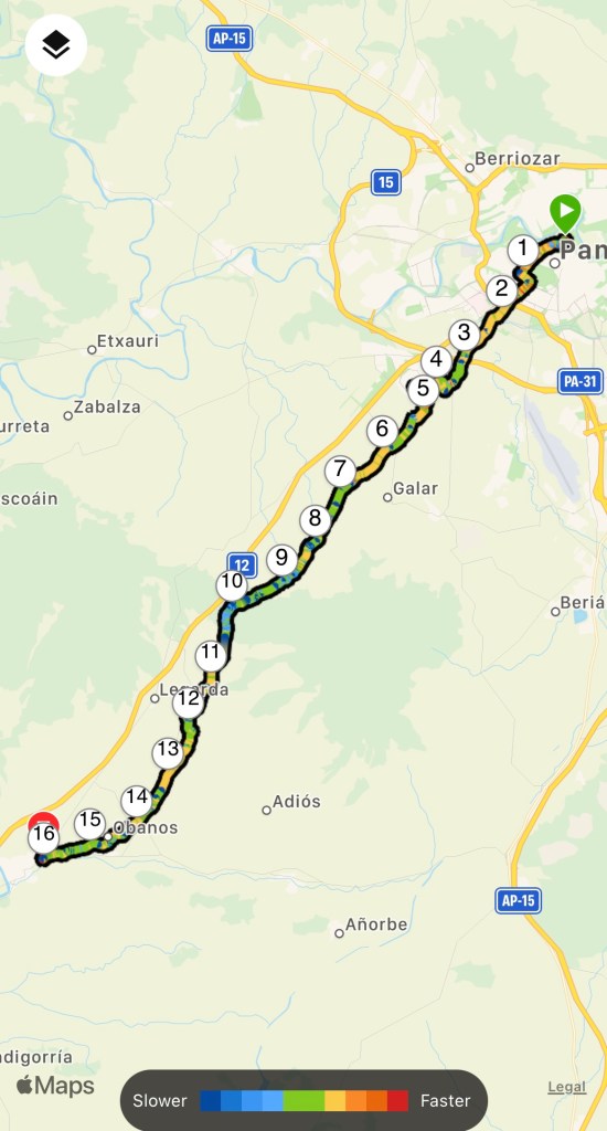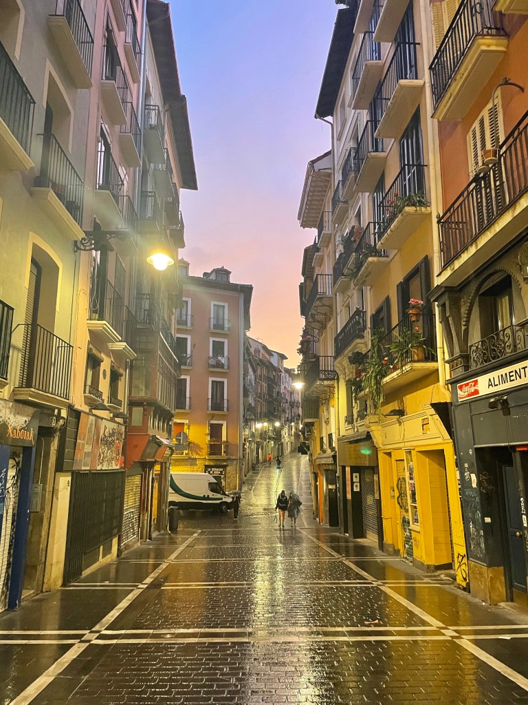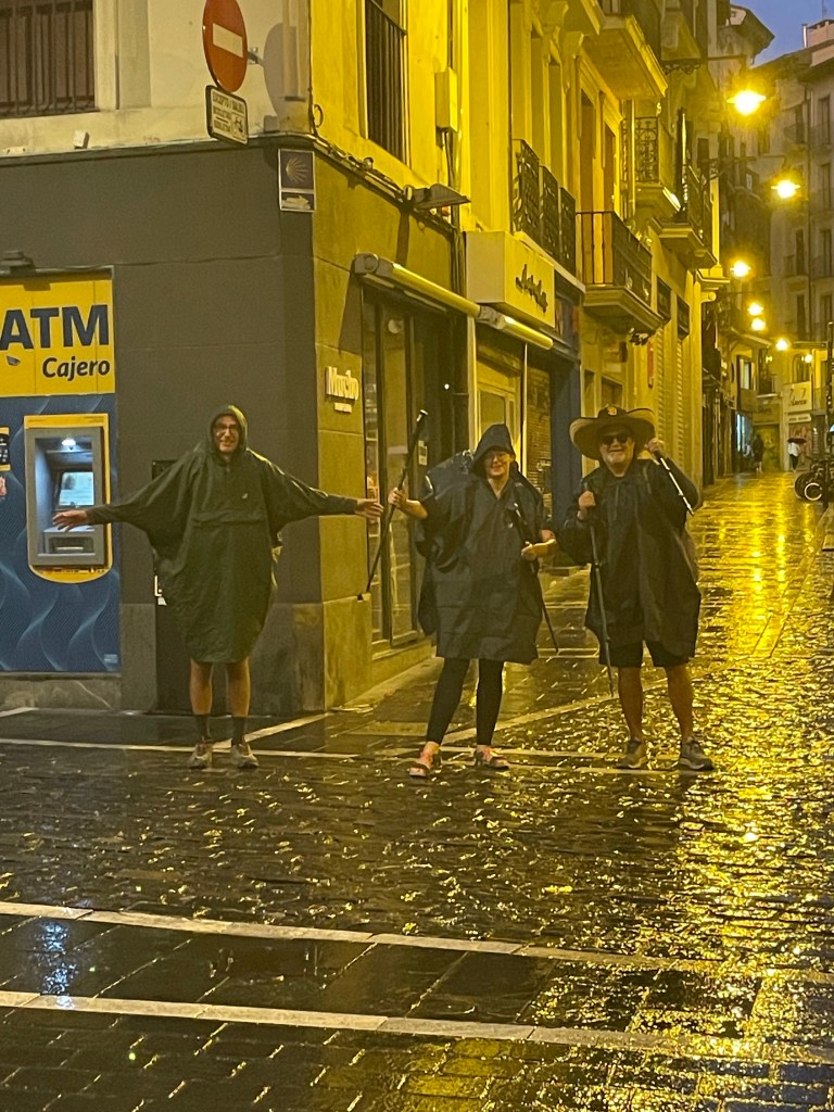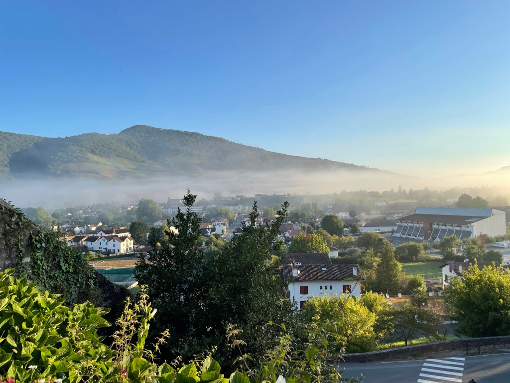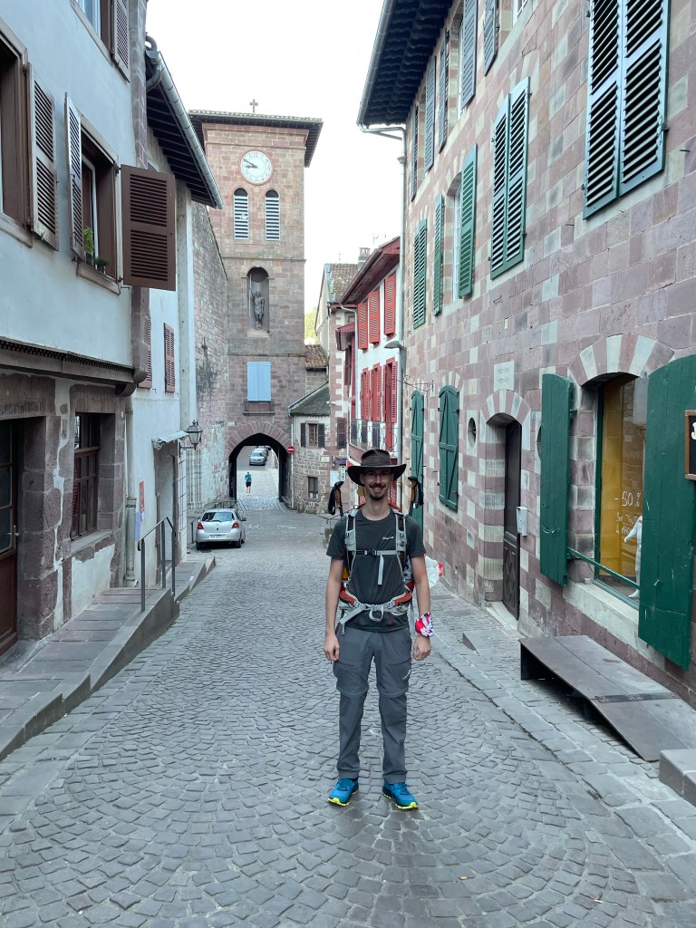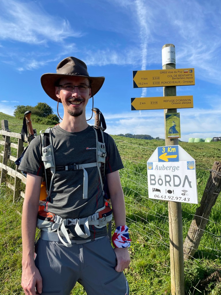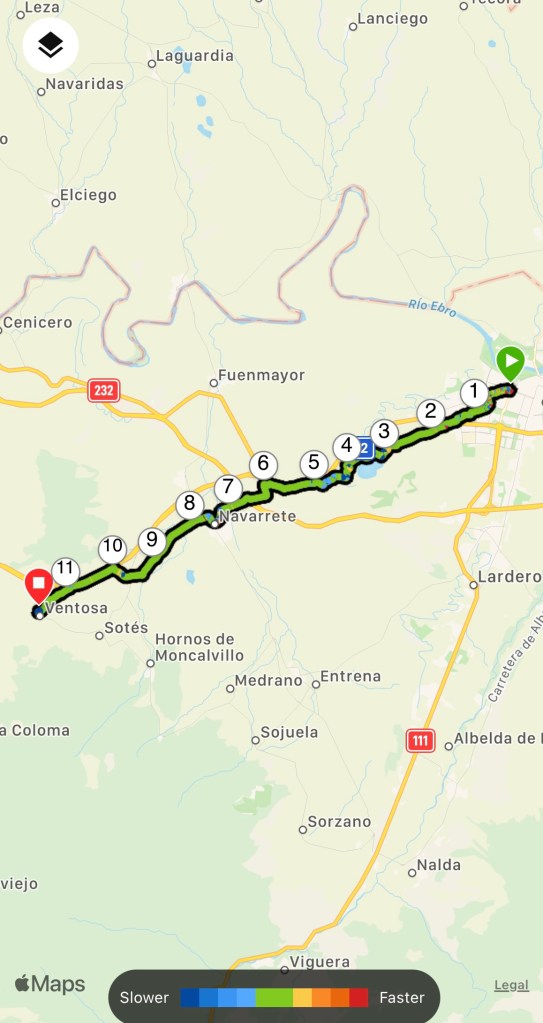
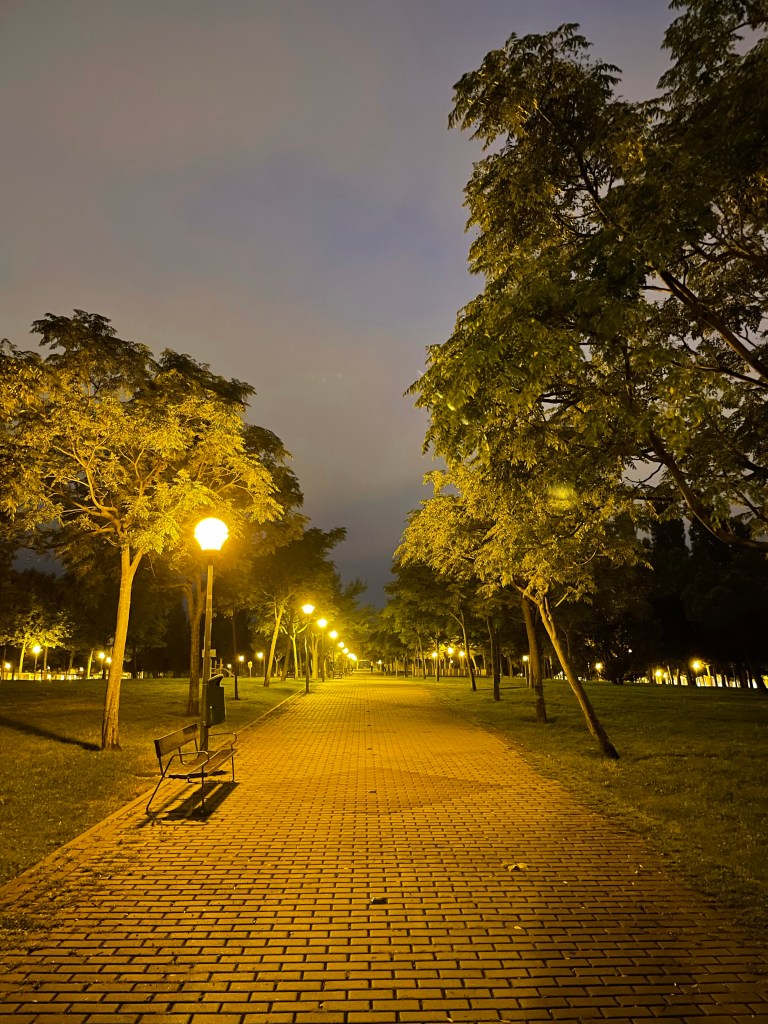
It was another stuffy night and outside it was very humid. Leaving Logroño in the dark was not as troublesome as previous cities as the route was well marked.
The way follows inner city parks that act as an obstacle course with the automatic sprinklers spraying in every direction.
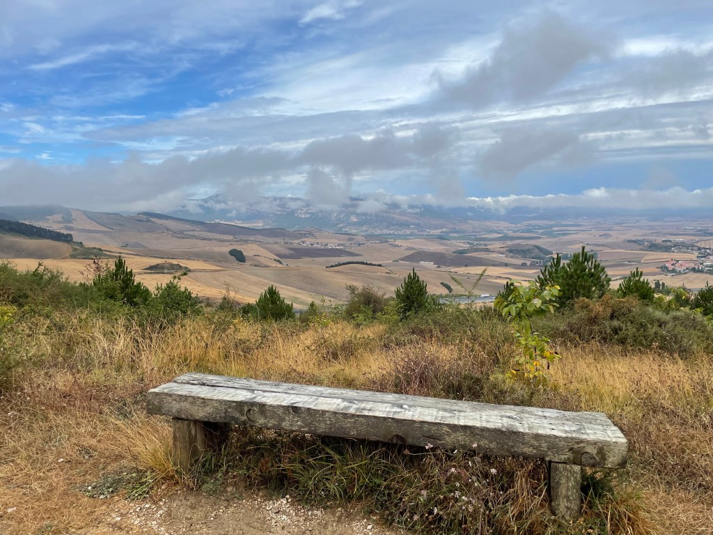
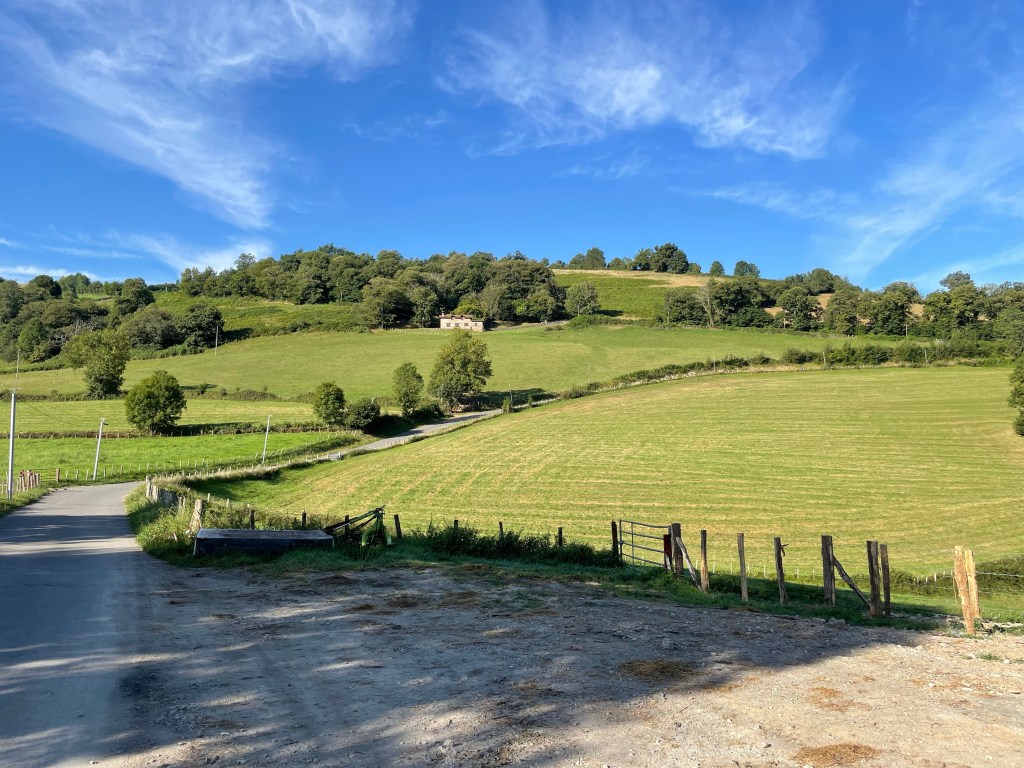
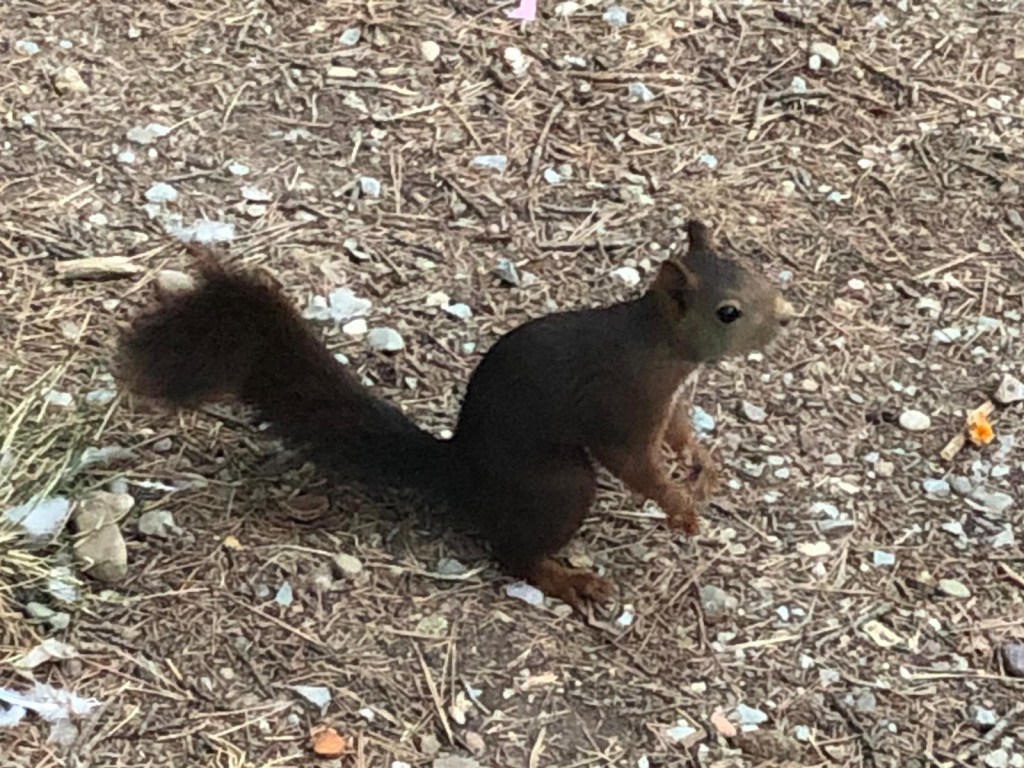
The path eventually splits to the left down through an underpass leading to a wide paved track leading from the outskirts of Logroño through a park with a reservoir. Very tame squirrels bounded about, coming up to you in search of food.

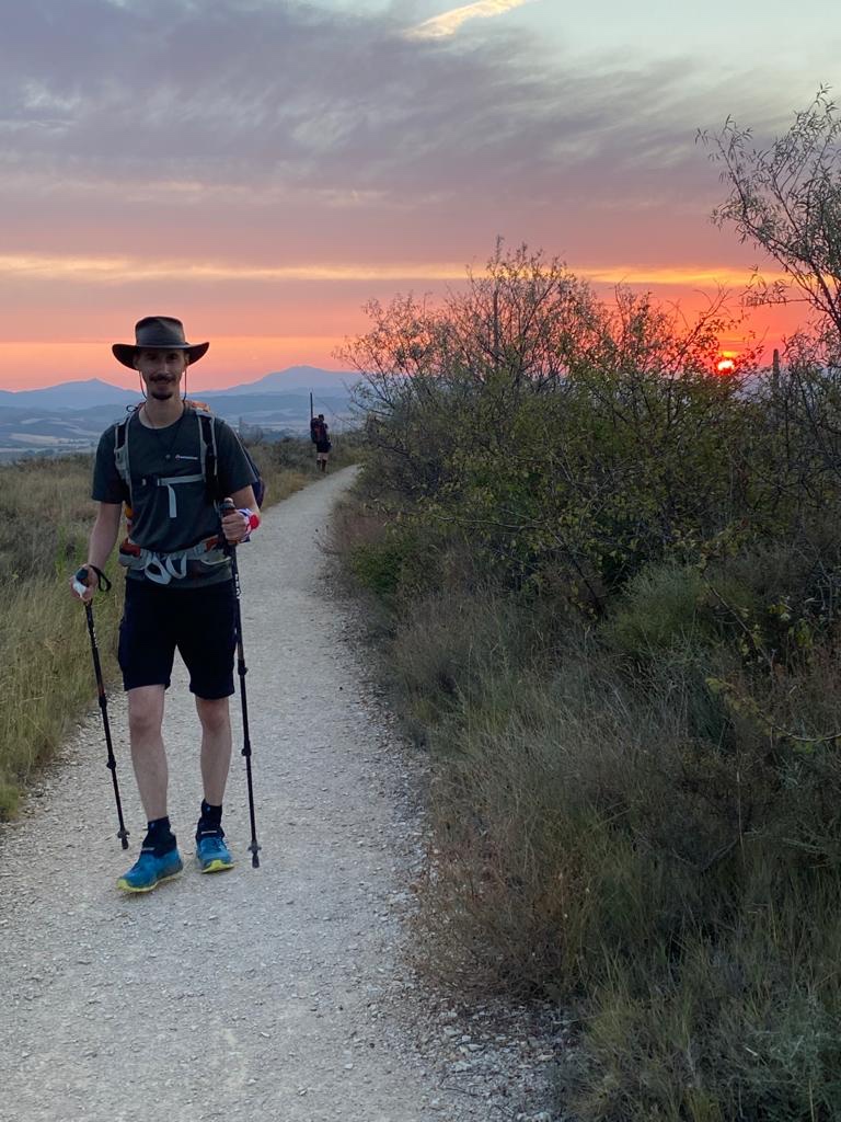
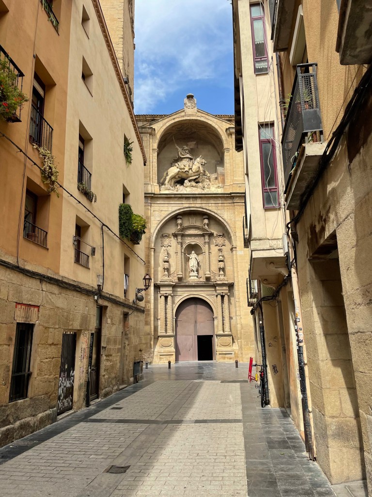
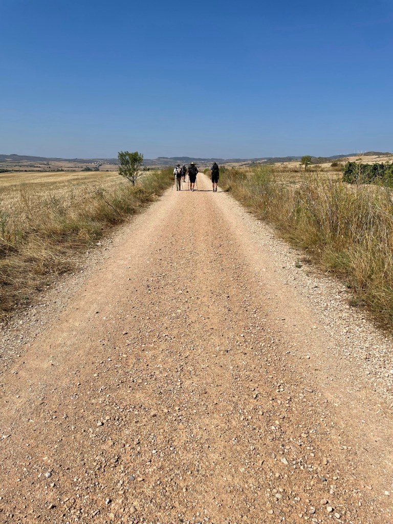
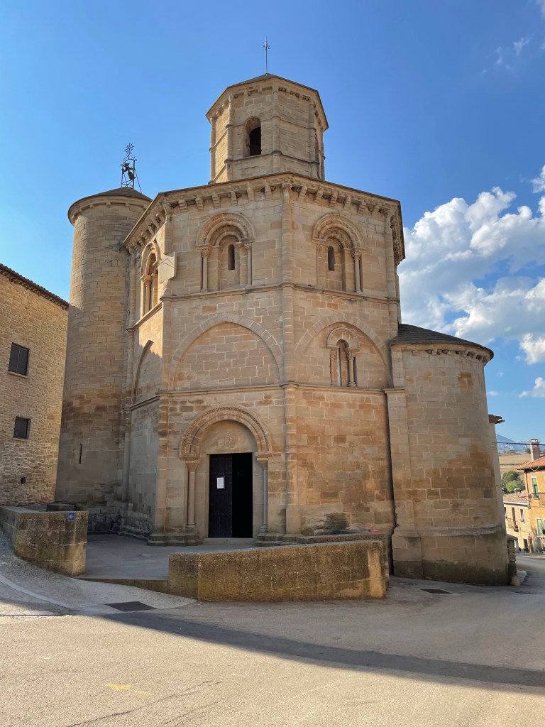
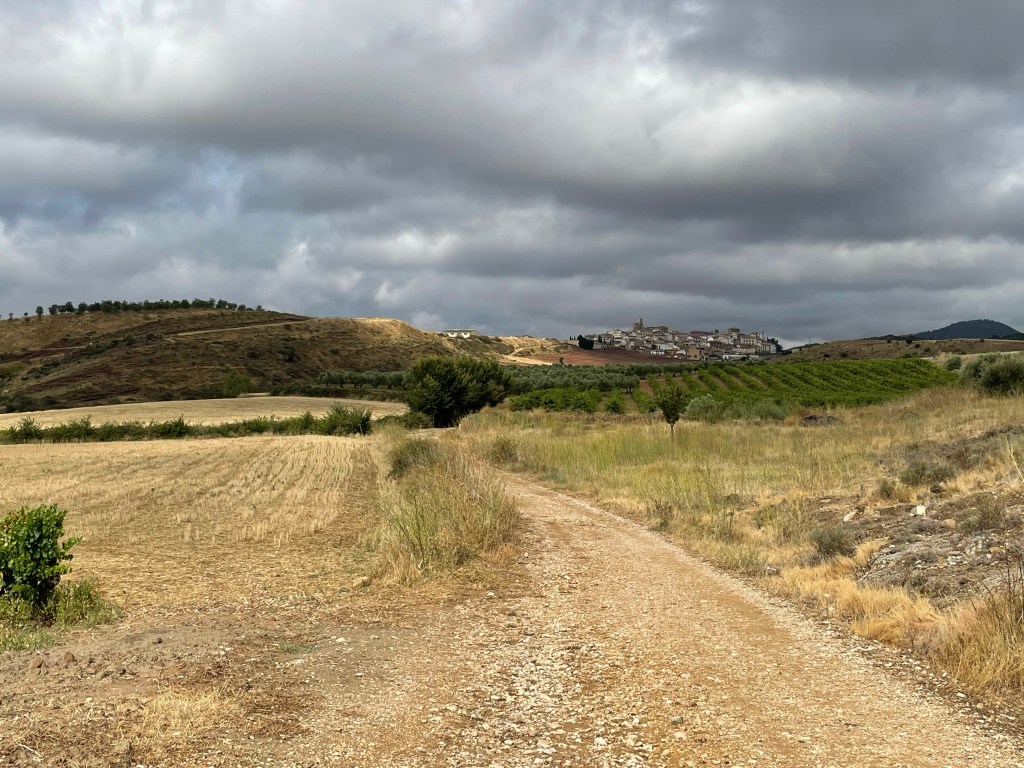
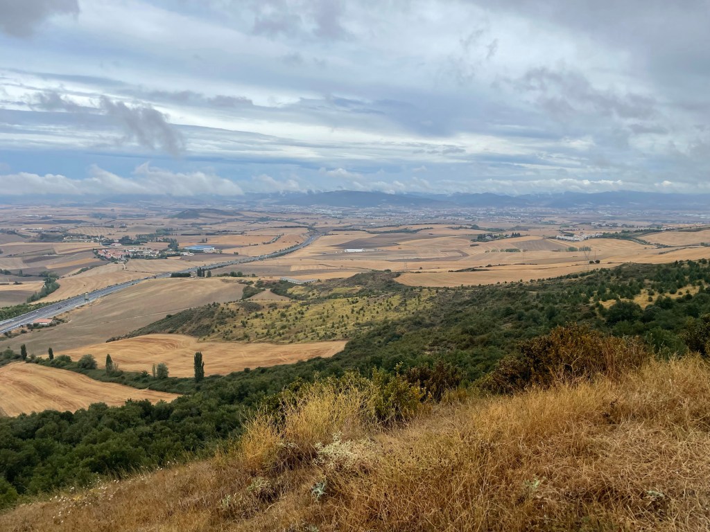
As you reached the far side of the reservoir the path ascended into Navarrete. I had gone ahead of the group and I reached a vineyard with a sign pointing to the left. There was a gaggle of confused peregrinos at this spot with a few cutting through the vineyard.
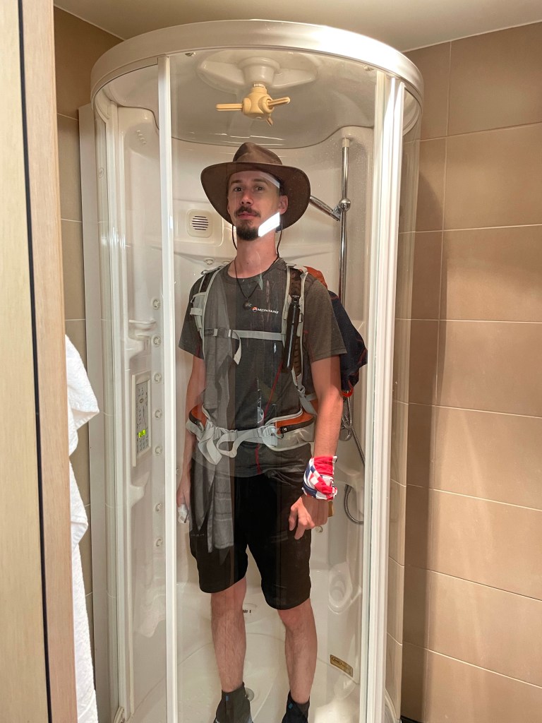
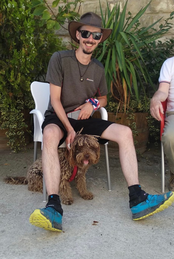
After a bit of deliberation I decided too, to cut through the vineyard. I was walking with two sisters from Swindon, a chap from the Philippines and a chap from Quebec. I joked this is a scene from the film “The Way” at which point, one of the group started playing ‘Thank you’ by Alanis Morrisette.

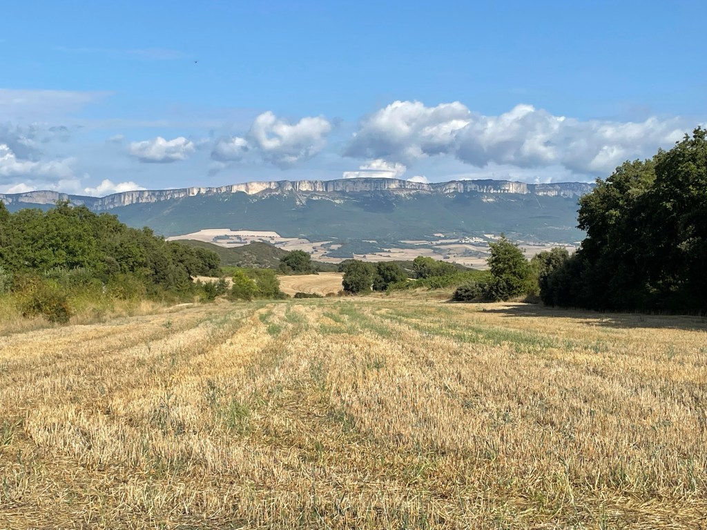
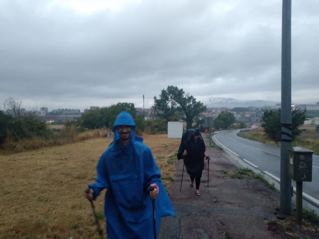
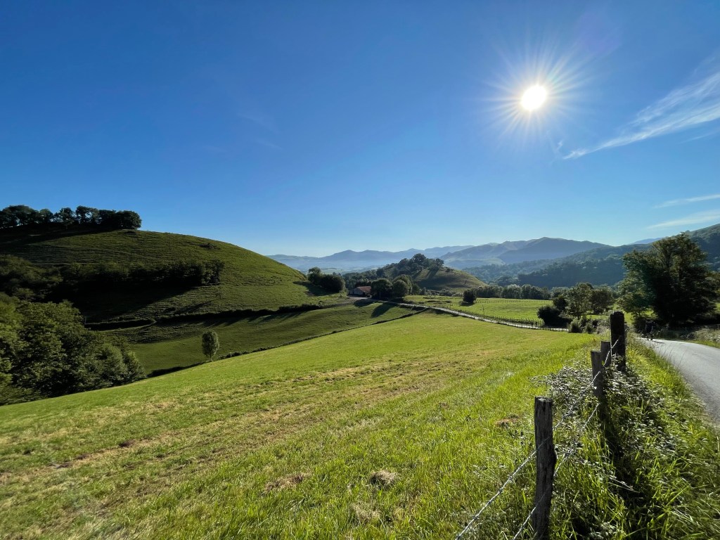
The way followed the highway out of Logroño from a lofty position, for the approach to Navarrete, I tagged along with a chap called Iván from Zaragoza, Spain.

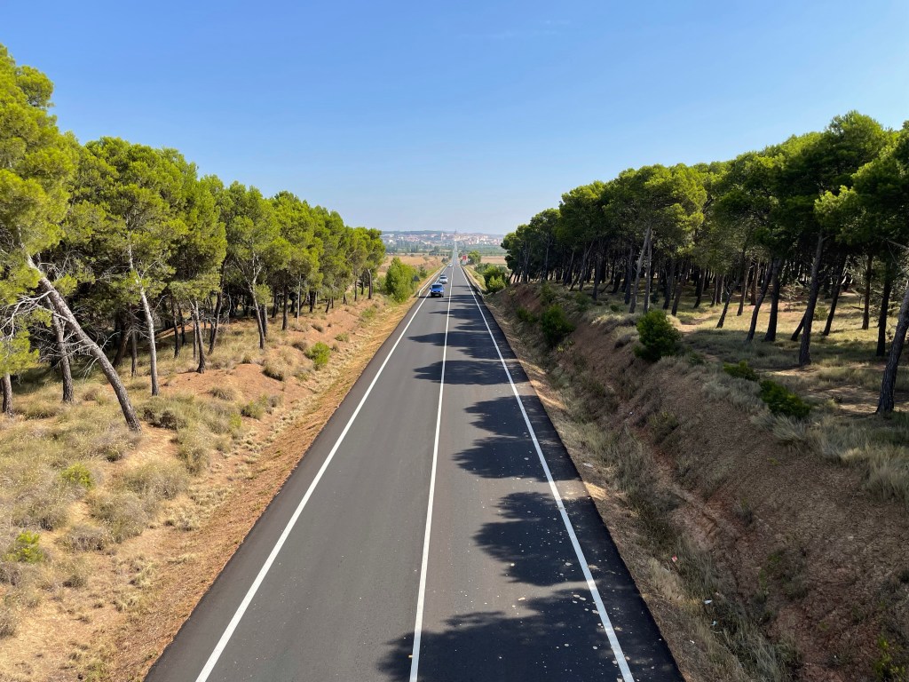
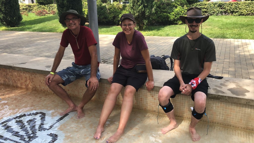
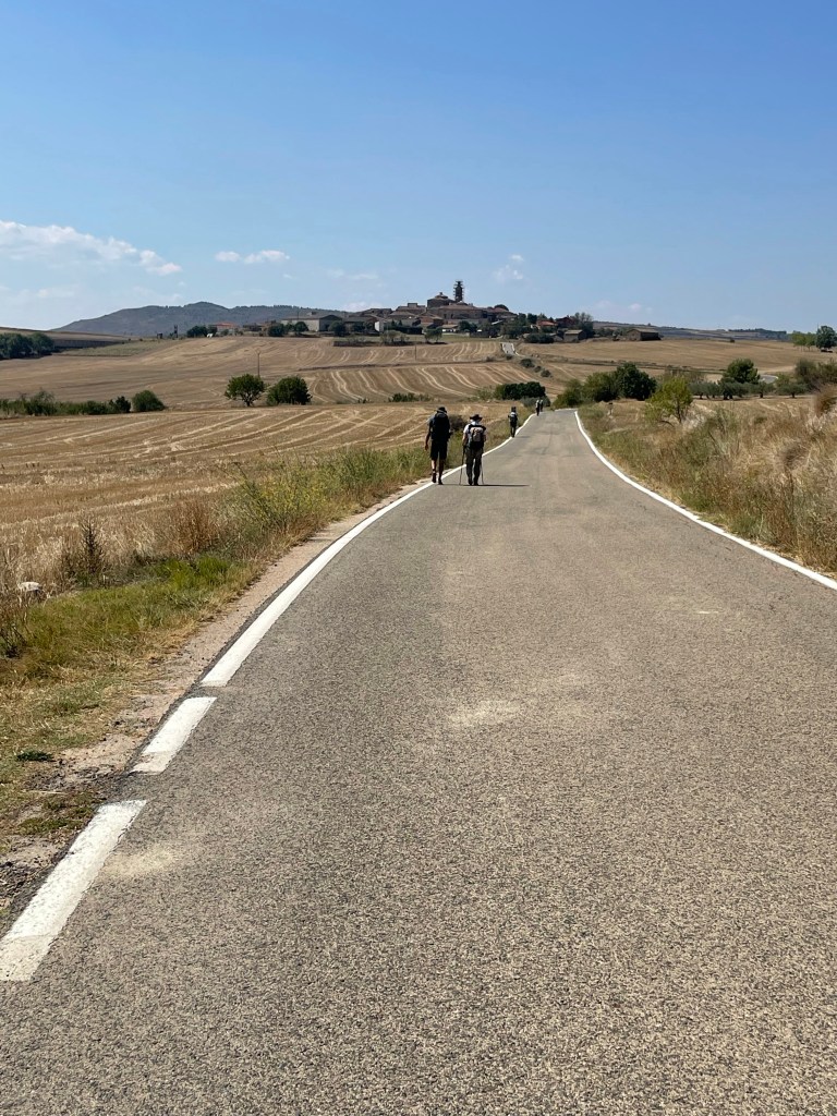
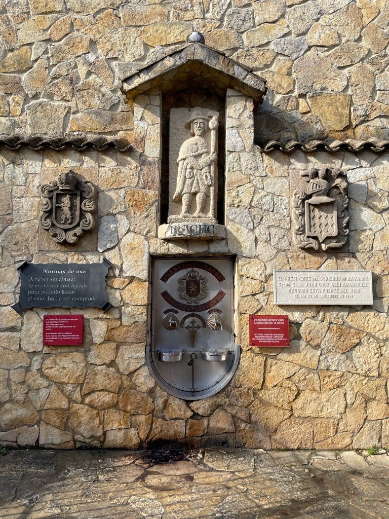
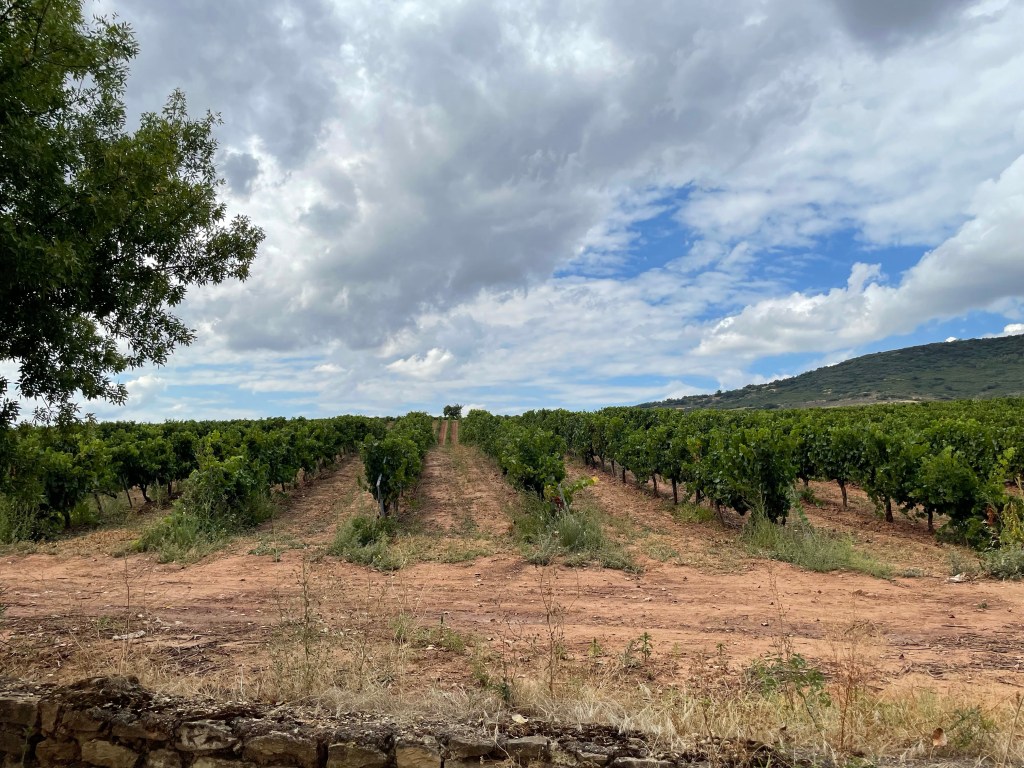
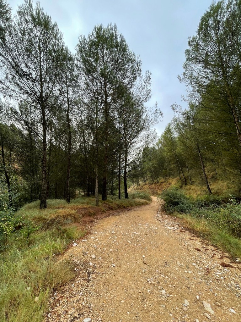
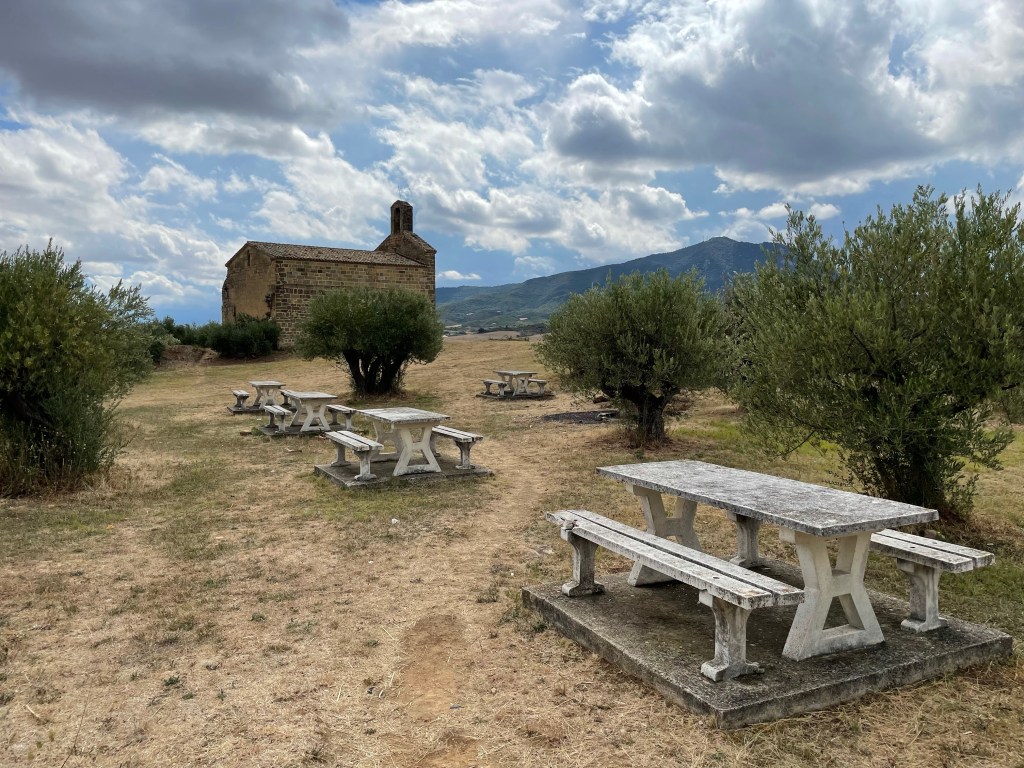
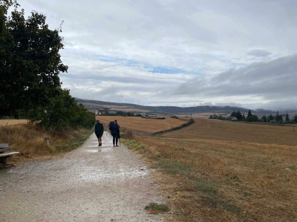
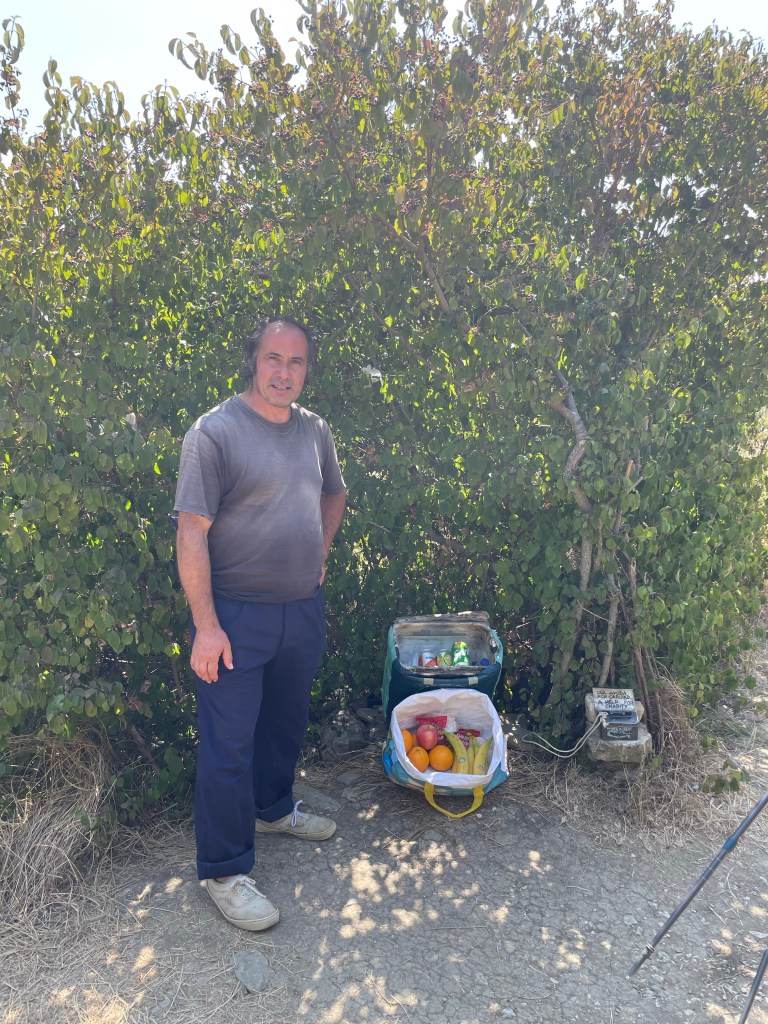
We stopped at a bar for breakfast; Marcus and Brian joined us shortly afterwards. After fueling up I hit the road again. The route went through vineyards after vineyards. This truly is the wine capital of Spain.
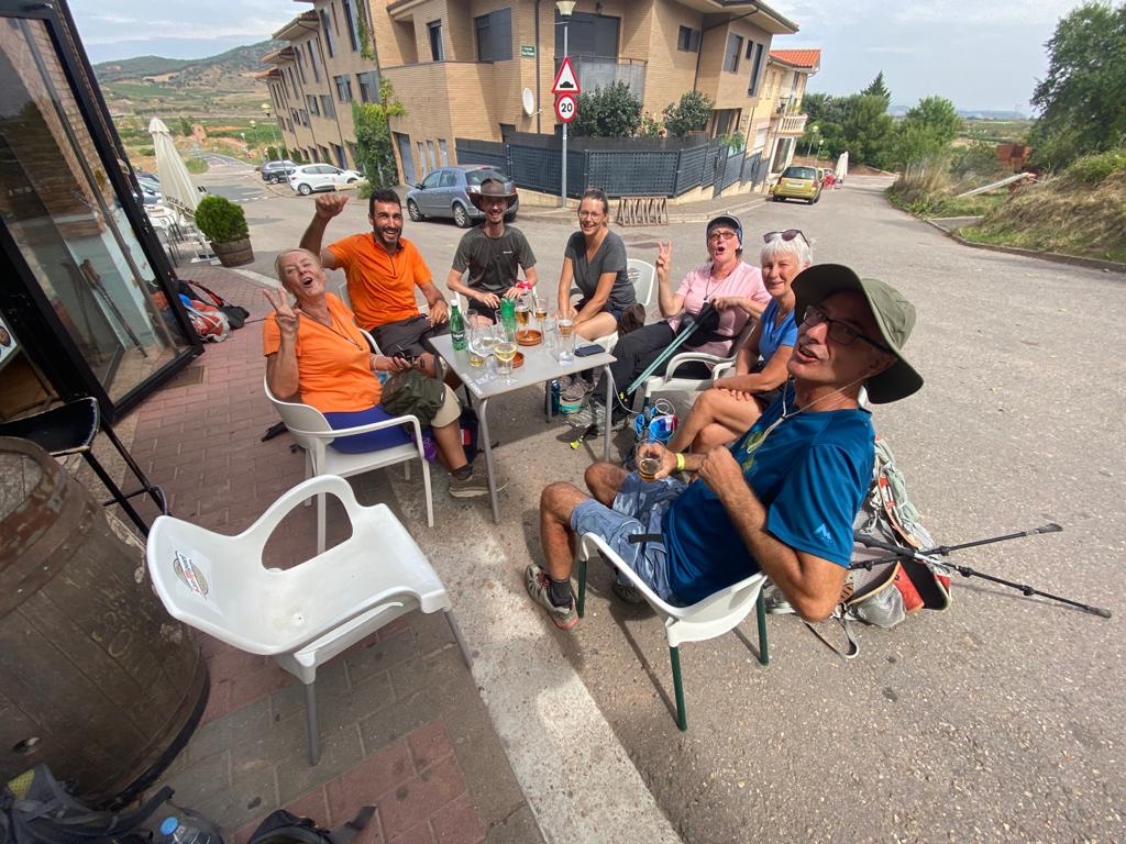
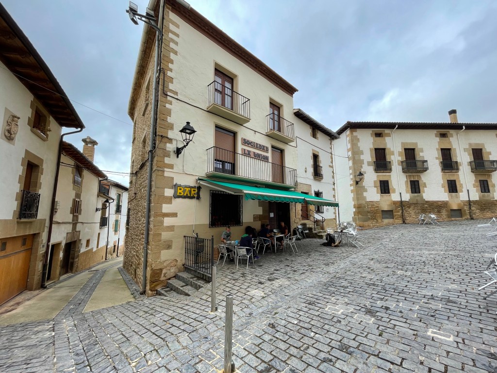
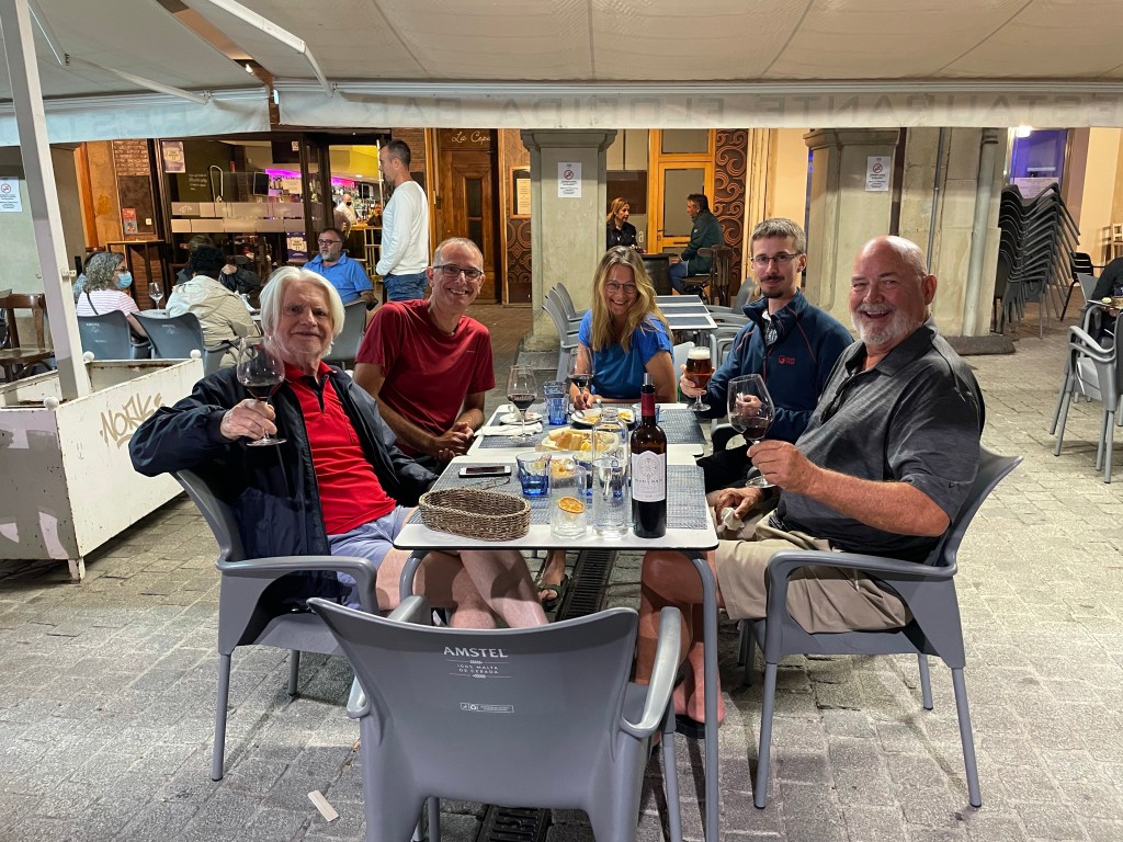
It wasn’t long before I entered Ventosa where I sat with my fellow pilgrims at the bar. I joined Iván and two ladies France. We ended up all having paella together for our dinner. Although there was a language barrier, Iván was able to translate to keep the conversation going.
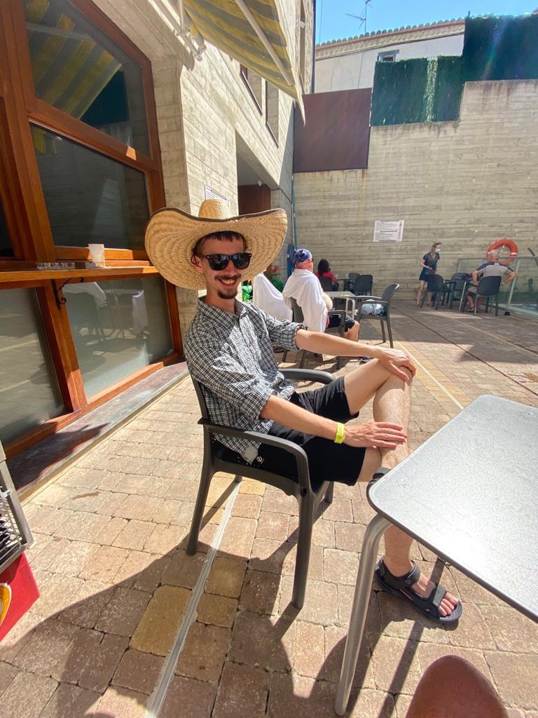
I had a great time and in the evening we were joined by the Camino Gang and fellow pilgrims that we had met along the way. The drink was flowing, the laughter was plentiful and Camino memories were made.