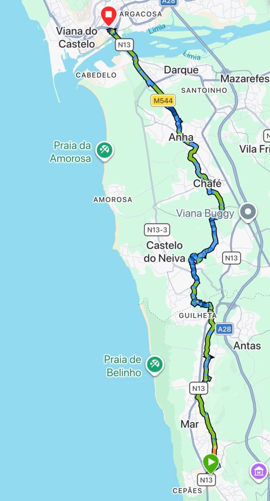
The first inclines and rain of the pilgrimage arrived today as we moved from the coast to an inland section.
It had lashed it down during the night giving the morning a refreshing air. I began walking with Anastasia from Russia until I caught up with my mum and brother.
We called into a cafe for breakfast and by the time we finished the rain returned. Poncho time! The route left the quiet villages into woodland as it descended to a river.
Over a stone footbridge and up the other side. Luckily the rain had stopped at this point, and it was the last we saw of it for the day.
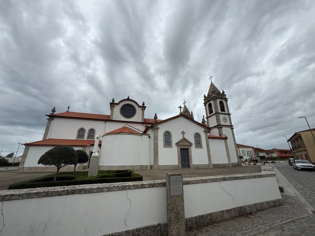
The rise kept on going until we reached the church in Castelo do Neiva. Opposite a cafe, a perfect spot for a rest and views over the valley below.
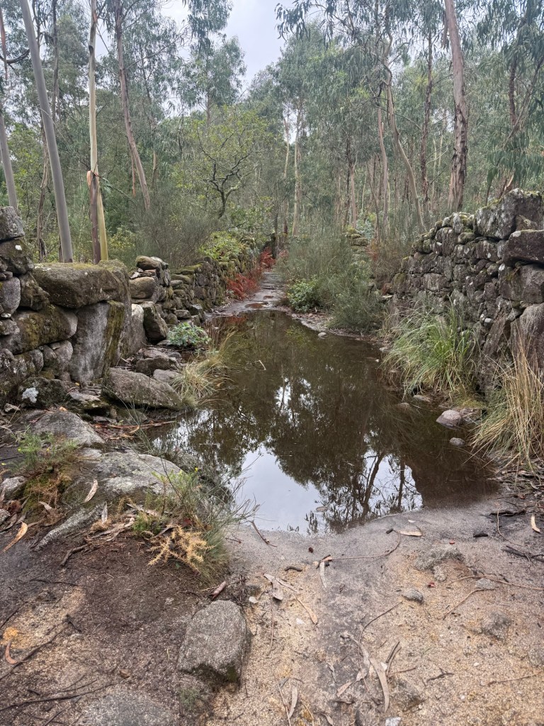
The route passes through woodland for a bit, with the path flooded at one part. We had to balance over fallen stones from a wall to cross.
We rejoined a country road into Chafe, where we stopped for a much needed lunch. The sun had made a showing now, warming us up after the damp morning.
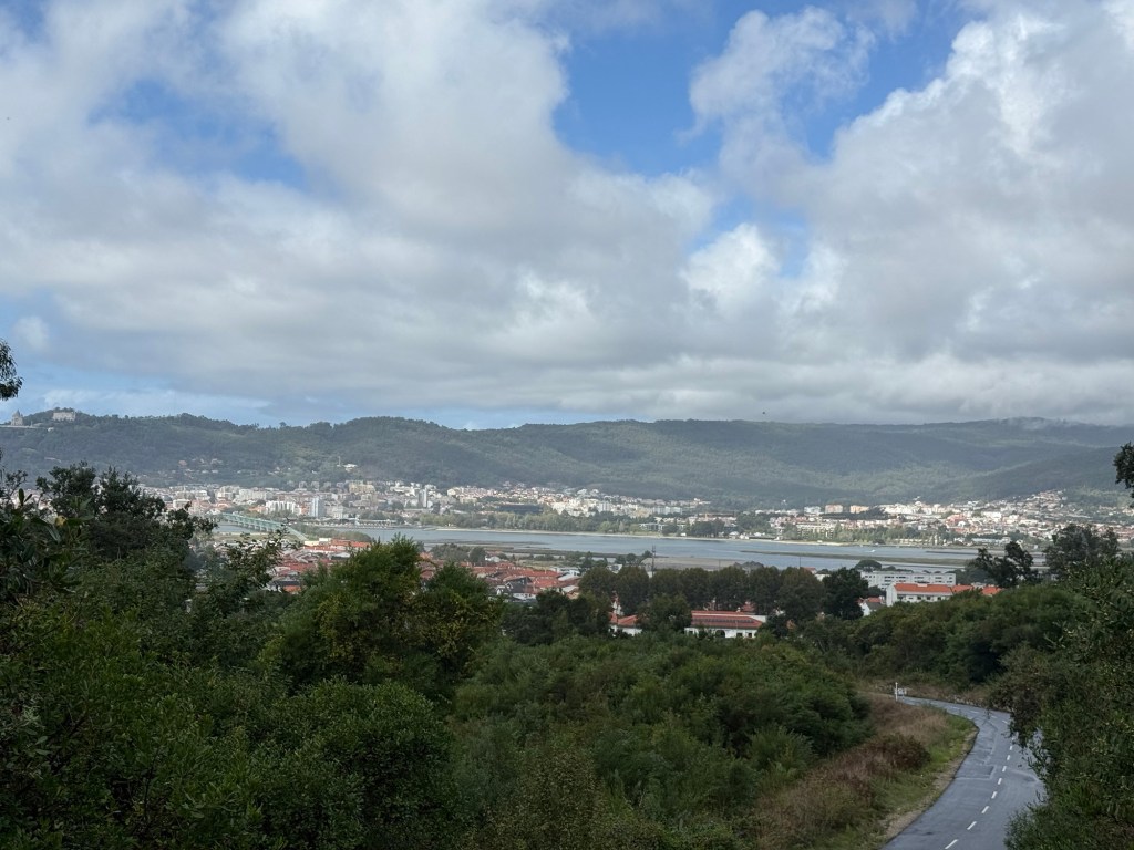
After one more little hill, we descended into Viana, crossing a large bridge spanning the estuary. My albergue was in an old convent, just on the other side.
That evening we started booking ahead for mum and Pete. Places were fully booked, even Vigo only had few vacancies.
This prompted me to look at the albergues; similar situation. I knew from Redondela, it would get busy, but I didn’t expect it as soon as I entered Spain.
We sorted accommodation up to Caldas de Reí, at which point my phone ran out of juice – hence the late blog post!
Pete opted for an Irish bar for food that had a selection of Belgium beers – heavy head for the morning.
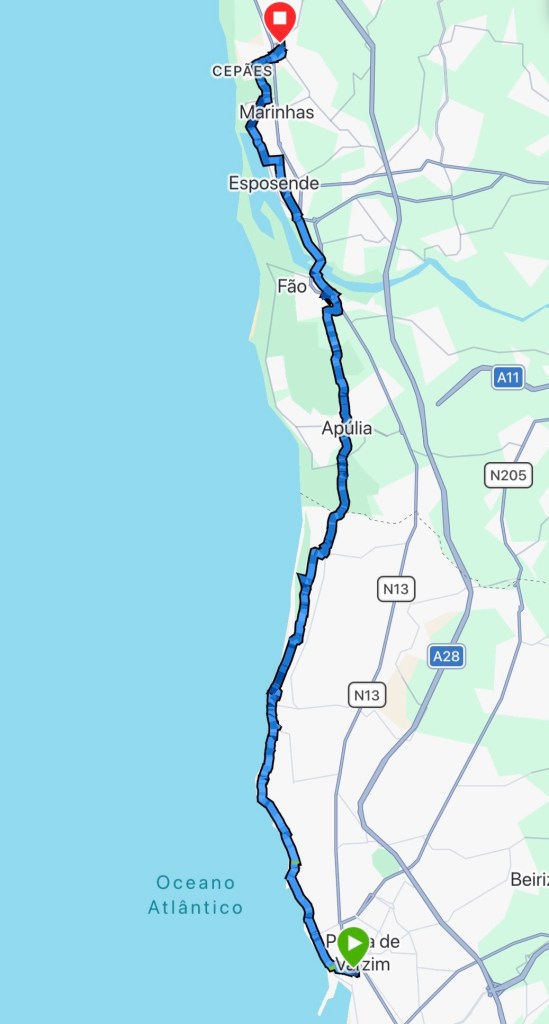
An Atlantic wind was our companion for today, as well as a few spattering of showers, keeping the walking comfortable.
We were out dead on 7am, knowing we have one of the longer stages ahead. There was a very light shower to begin with, that kept coming and going for the first 30mins or so.
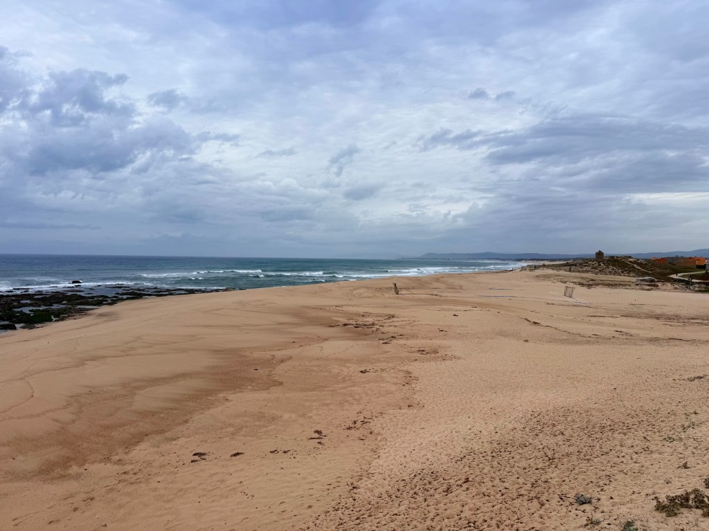
We followed the promenade north eventually joining the boardwalk. The sea was choppy with some impressive waves, where gulls skimmed the crests.
At 6km we arrived at Aguçadoura, prompting us to stop for breakfast. The little cafe was exactly what we needed – pan chocolate and a glass of orange juice.
It was a few more kilometres along the boardwalk before we began to move inland towards Apúlia. Pete’s achilles tendon at this point began to hurt, causing him to hobble.
A bit of Camino first aid with some kinesiology tape got him moving again, but he had to take it easy, any inclines or declines became painful.
After grabbing the stamp at the church in Apúlia, we hoped for a bar, however they didn’t open until 12. We had to go a further 5km to Fao before we got a pilgrims menu.
It was a bit of Camino magic; soup, baguette, a beer and coffee. All for €7.50 each! The staff were welcoming and funny. Next door was a farmacia as well; I got some cold gel for Pete.
The last 6 km took us through Esposende and onto Marinhas, our stage end for the day. We arrived just as the rain came down, leaving a very grey evening.
This stage was a short easy one, with a cooling sea breeze and cloud cover keeping the sun off us; perfect walking weather.
We had a lazy start, having breakfast at a pastelería near the albergue, taking our time. It was close to 9am when we started walking.
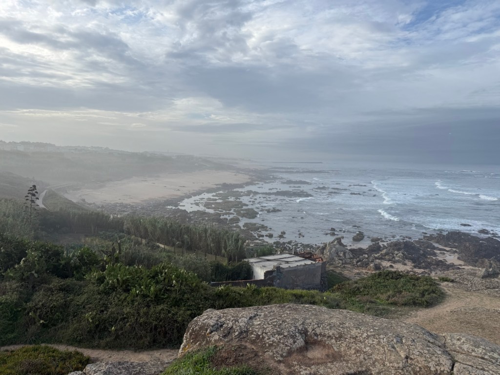
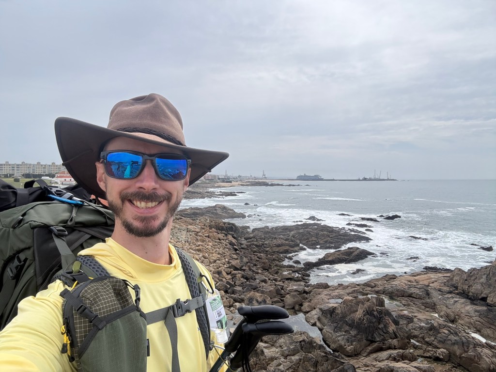
Back on to the boardwalk along the sandy beaches. The sea breeze keeping everything pleasant. We climbed a small rocky out crop to get panoramic views along the coast.
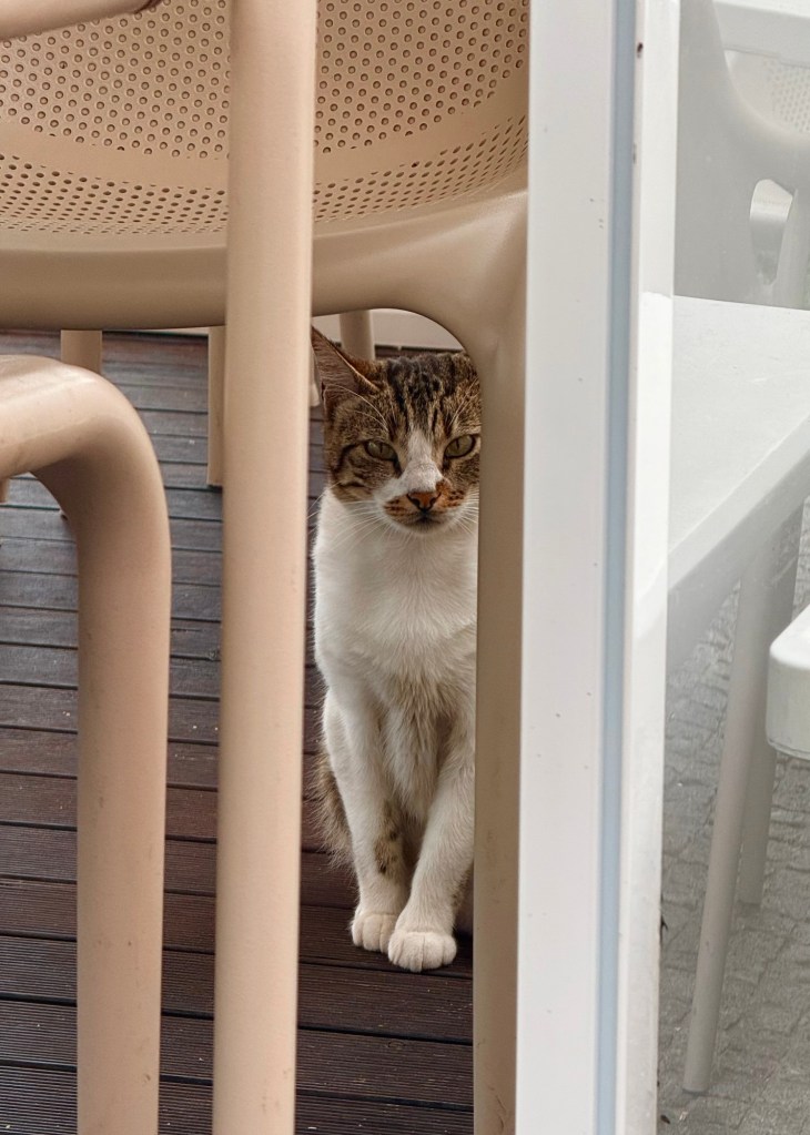
From there we passed through small seaside hamlets, stopping at cafe in one. With a short stage ahead, we were in a meandering mood. I’d managed to upset a local cat, that kept giving me the evil eye until we left.
A few kilometres on, I got chatting to a couple of pilgrims from Ireland; this is their first Camino. A bit unsure about the albergues and with finding room; I said not to worry until Spain.
We stopped once more before Vila do Conde for a quick drink by the sea, then began heading inland. After collecting a stamp at a little chapel we crossed the river Ave into the town.
The route cuts through quiet narrow streets then into residential areas, all the way into Póvoa de Varzim, arriving at 2pm.
We found a restaurant outside our digs for food, passing the time until check-in. A shower and a quick siesta later, we went for a little explore to the beach.
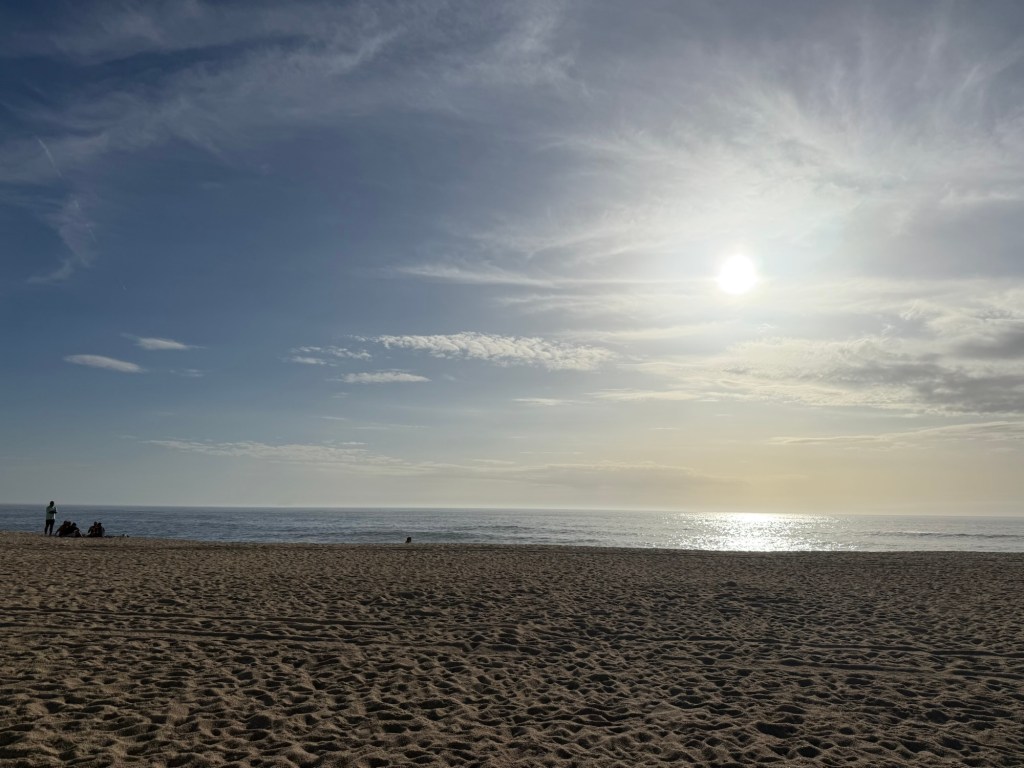
Unfortunately, cloud cover moved in preventing a picturesque sunset. We strolled back into the town centre, having food at a pizzeria before calling it a night. Another big stage tomorrow, similar to yesterday; sleep is a must!
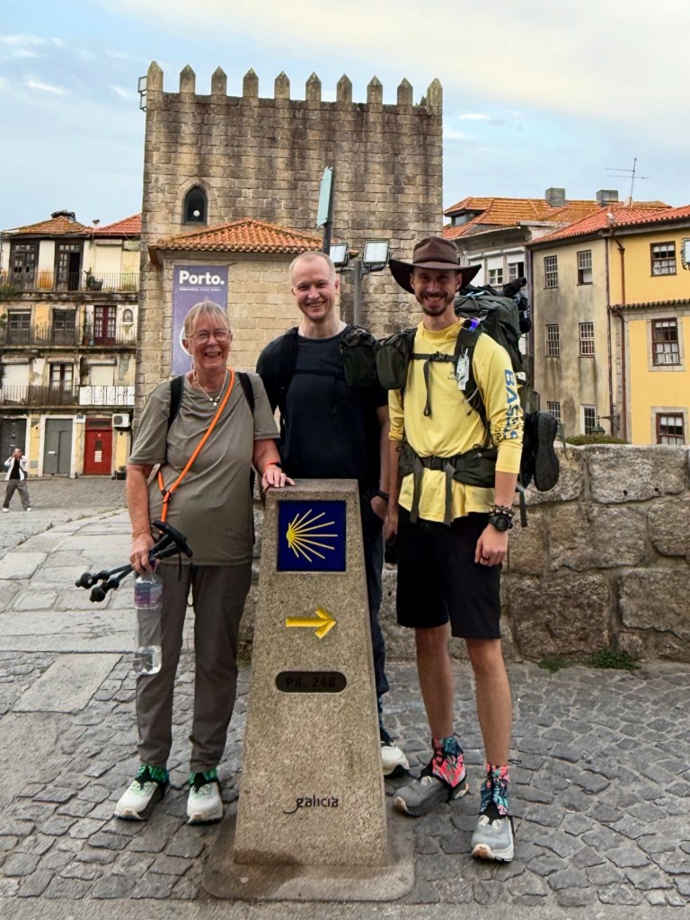
It’s always a good feeling to return to the Camino, and to tread along a familiar path from 2022, was like slipping on your comfy shoes.
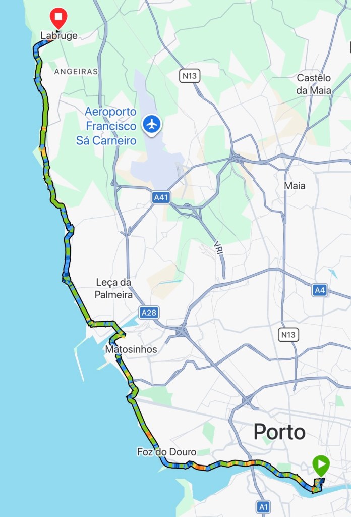
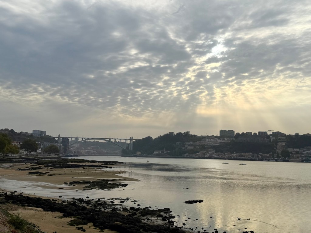
Just after 8am we left the cathedral making our way to the river Douro. The banks teaming with runners, making the walking more like a slalom course.
We passed under the bridges connecting Porto to Gaia, steadily making our way to the Atlantic. Joining the promenade it was easy walking. At 5km we stopped for food and a cold drink.
We rejoined the promenade with the small flow of pilgrims. I had heard the portugués was a busy route from those walking it this year, but the numbers today would struggle to fill an albergue dormitory
I lost myself to the sound of the waves, the sea breeze and dodging the runners. Before I knew it, I reached Matosinhos. The sandy beach spreading out before me, surfers in the waves and a huge cruise ship in the distance. The sea spray hazing the air.
At the other end we left the ocean briefly to cross over a river through dockyards and a bit of industry. We stopped at a local cafe for a cold drink, then moved on.
The route joins a boardwalk which formed the terrain for the rest of the day. Planes flew over head on their approach in to Porto airport. Hard to believe it’s taken the morning, what was a 20min tram journey yesterday.
We stopped at a beach side bar for some food before covering the last 6km of the day. The wave of pilgrims increased; the late starters catching up.
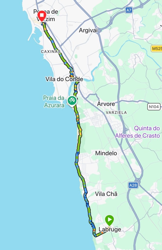
The light cloud cover that had kept the sun at bay, lifted. At Labruge, we left the boardwalk to head into the village, the end of our first day.
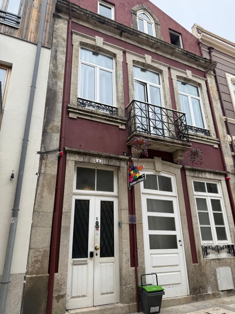
I checked into the Albergue, I was number 23 for the day. They have over 100 beds, definitely no sign of those crowds. I did my chores then met Pete and mum for food.
It’s been a week on the go; I’ve not stopped, packing in quite a bit, making the most of the bank holiday weekend and a few leave days.
Day 1 – Woodland outside Helperby, Yorkshire
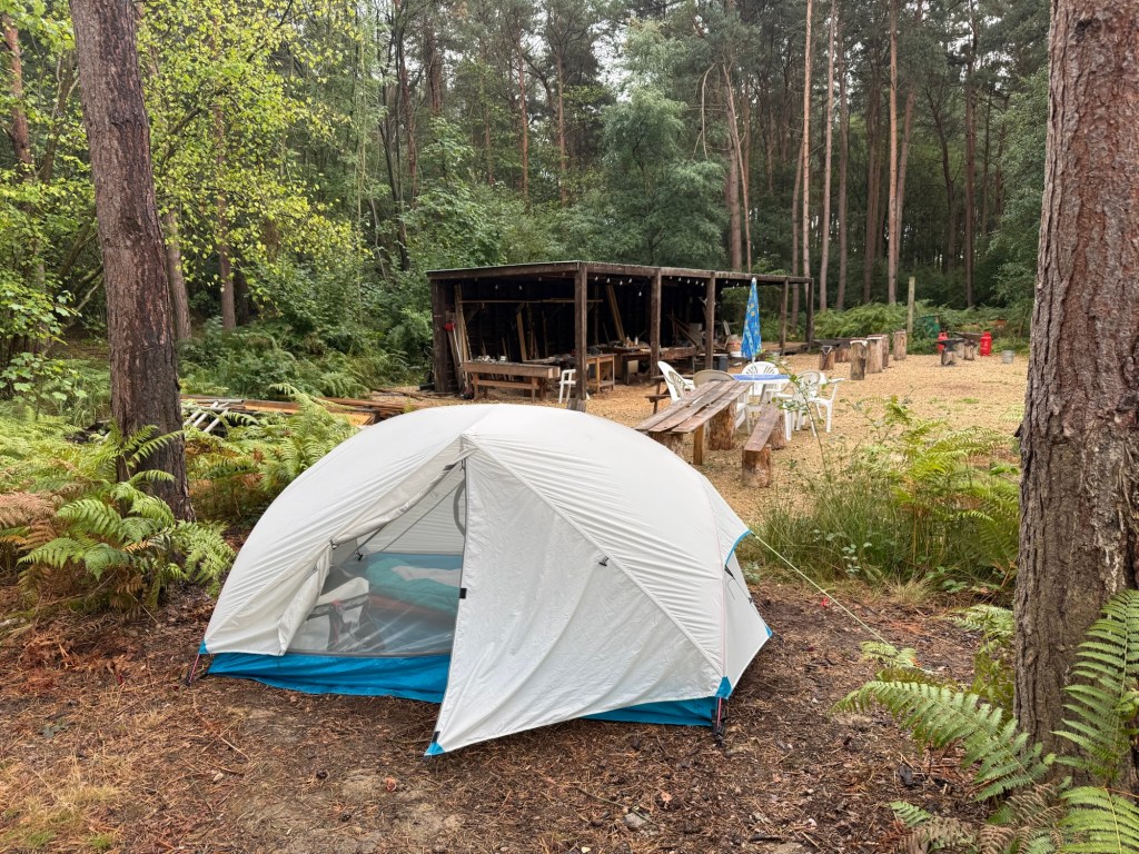
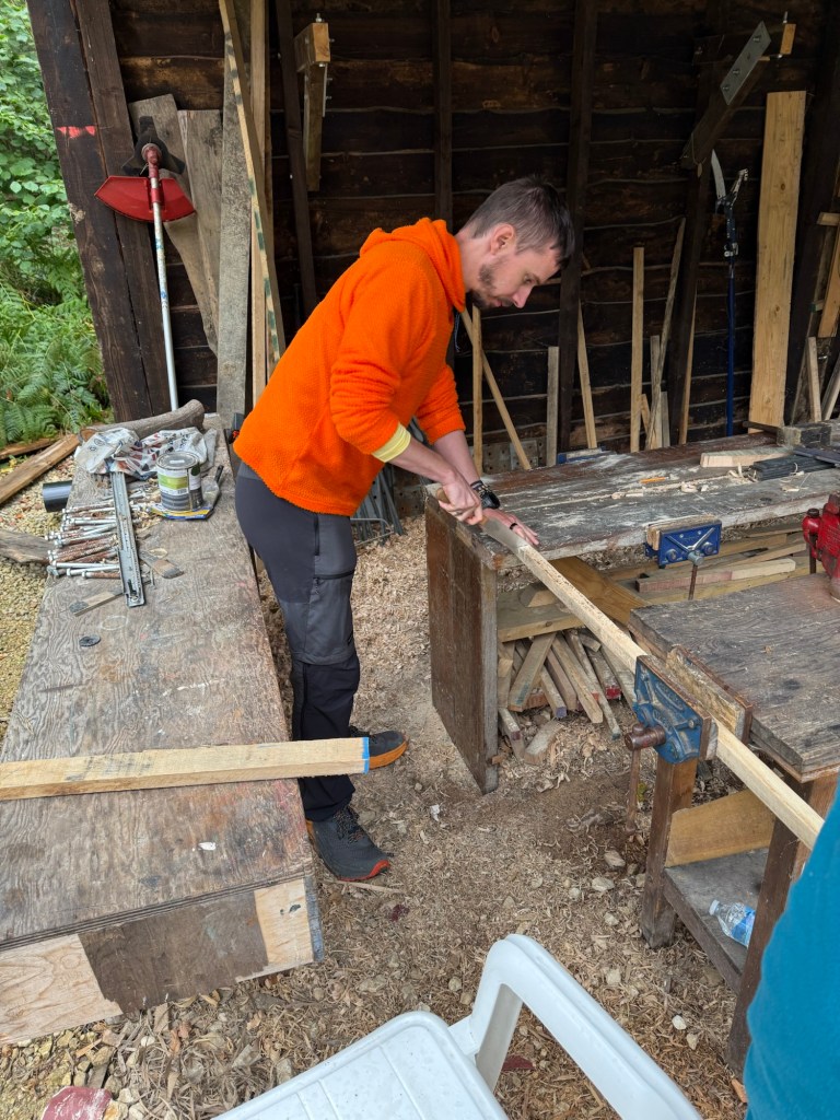
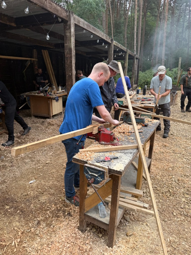
Arriving early evening on Friday, we were led along a gravel track into woodland with deliverance vibes. For the next two days, we’d be hand crafting longbows.
Finding a flat spot between the trees I pitched my tent, set up my sleeping system and settled in for the night.
Waking up to sounds of the forest was pleasant. Listening to the birds and the squirrels chasing each other in the branches above was a relaxing way to start the day.
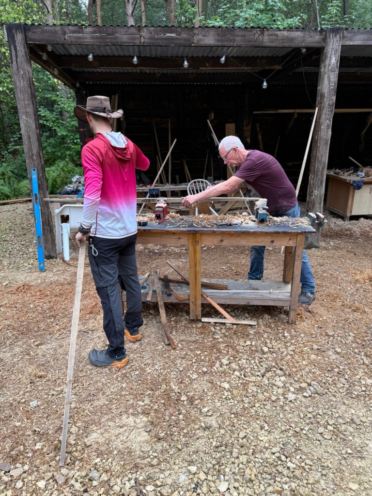
At 10am the instructors and our fellow students arrived. Following a quick demonstration of the tools we selected our lengths of wood and began shaving away, slowly carving the bow stave.
The work was hard, our only break was for lunch at one, but by 5pm I was at a point where it was ready for rounding.
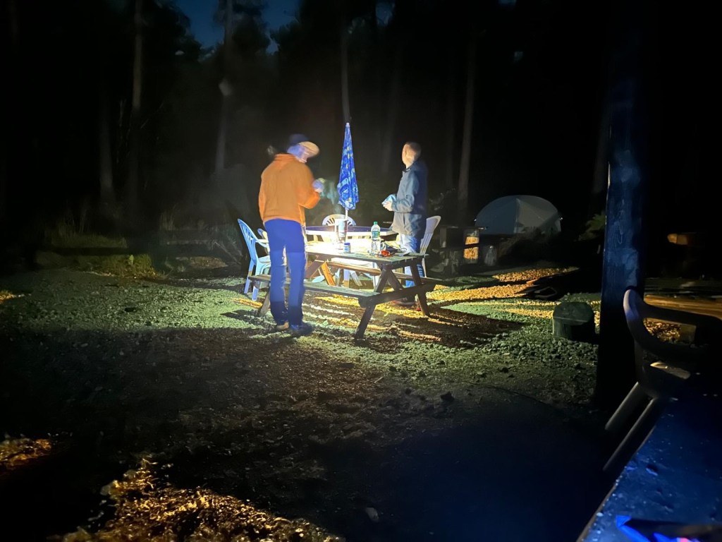
For dinner we popped to a pub at the nearby village as the rain arrived. We’ve had weeks of heatwaves, droughts and forest fires; the two days of the year I’ve decided to camp, it rained!
Day 2 – Woodland
The patter of the rain on the tent was soothing; coupled with the day’s graft, sleep had no trouble finding me.
Shortly after 10am we were back at it, rounding the stave. Once stopped for lunch, it was ready for the notches and the string making. The latter the most fiddly task of the process.
Once strung, pressure applied to identify points the bow wasn’t bending. Which need to be corrected to ensure the force is even across each of the limbs.
A bit more shaving later I completed my bow. Ready to head to Manchester, we hit the road later than anticipated. In the early hours we’d be catching a flight to Gibraltar.
Day 3 – Gibraltar
A very quick turn around from getting to Manchester and waking for the flight. I was running on a couple of hours sleep, to be at the airport for 3.30am.
The airport was surprisingly busy, but with no luggage to check in, we were through passport control in no time. An airport beer later and we were in the air.
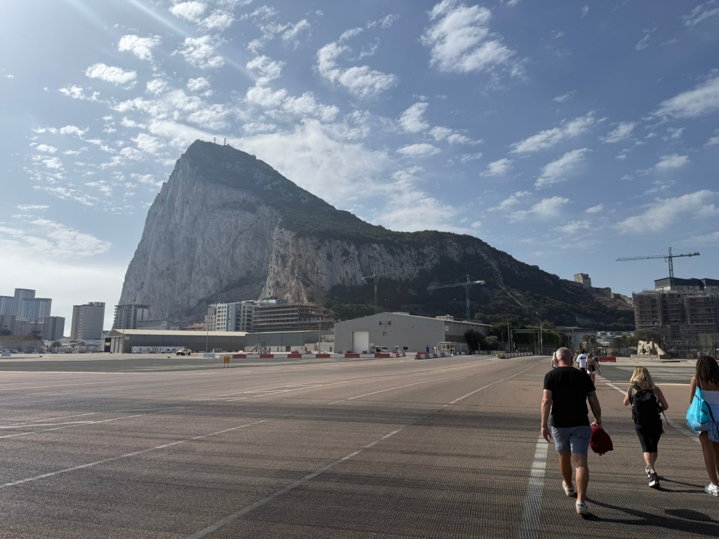
Three hours on, we were touching down on the rock. The oddity here, is the runway is practically the border and to get into Gibraltar you walk across it.
There is no need for taxis, for everything is in walking distance; 20 mins later we checked into our hotel, a quick shower, a couple of beers, then we went for an explore.
We tried out a few bars, got some food ending our first day in Gibraltar relaxing.
Day 4 – Gibraltar: The Rock
Despite wanting to sleep in, it was another early start. The nature reserve was on the cards today. To get the most out of it, we headed to the ‘Jew Gate’ at the south end of the Rock, for when it opens.
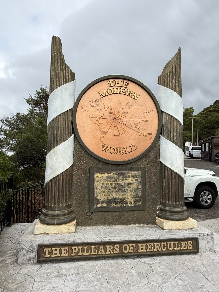
At the entrance stands the pillars of Hercules. The myth goes he held the world together by holding a pillar here and it’s counterpart over the Mediterranean; there is an equivalent monument in Morocco.
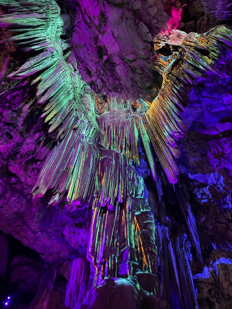
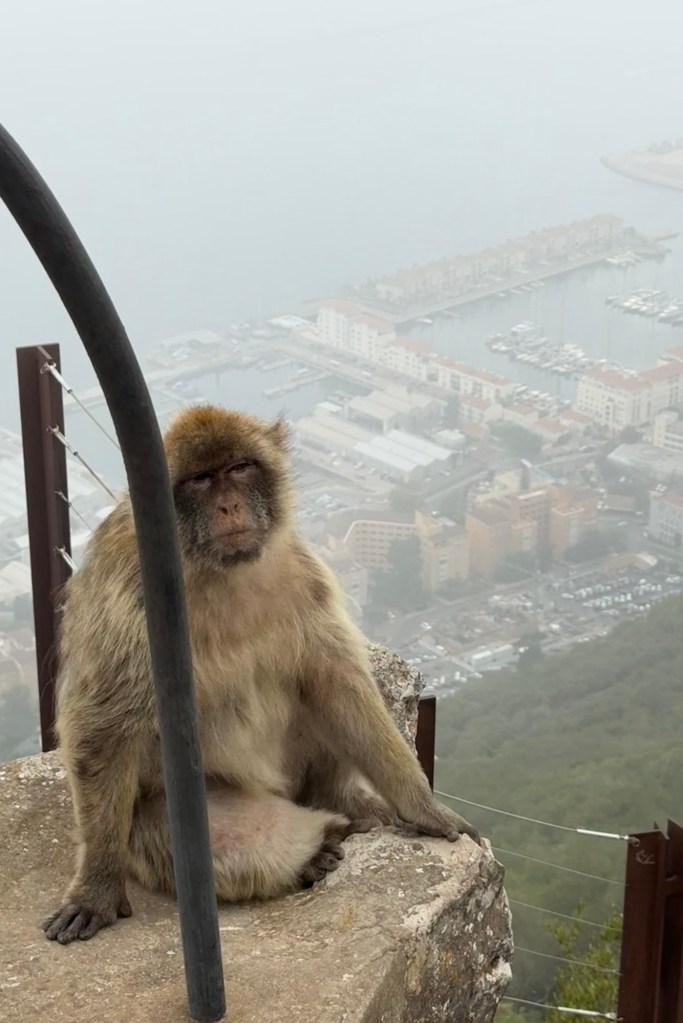
An uphill climb ensued to reach St. Michael’s Cave. A natural system full of stalactites that was believed to be a passage from Gibraltar to Africa, and thought to be how the Macaques entered the peninsula.
A light and music art exhibition illuminated the cave, highlighting the specific formation that has the appearance of an angel. It regularly used as natural concert hall.
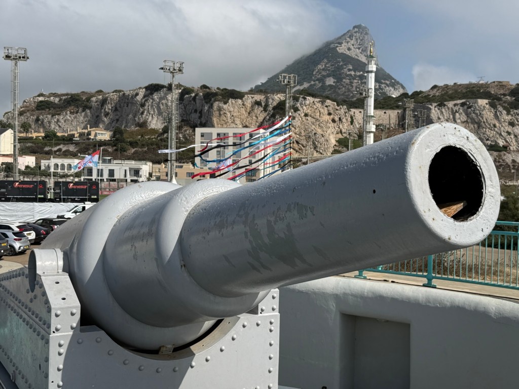
From the cave, we reached the top to see O’Hara’s battery. A huge cannon with the range to fire a projectile over the strait into Morocco.
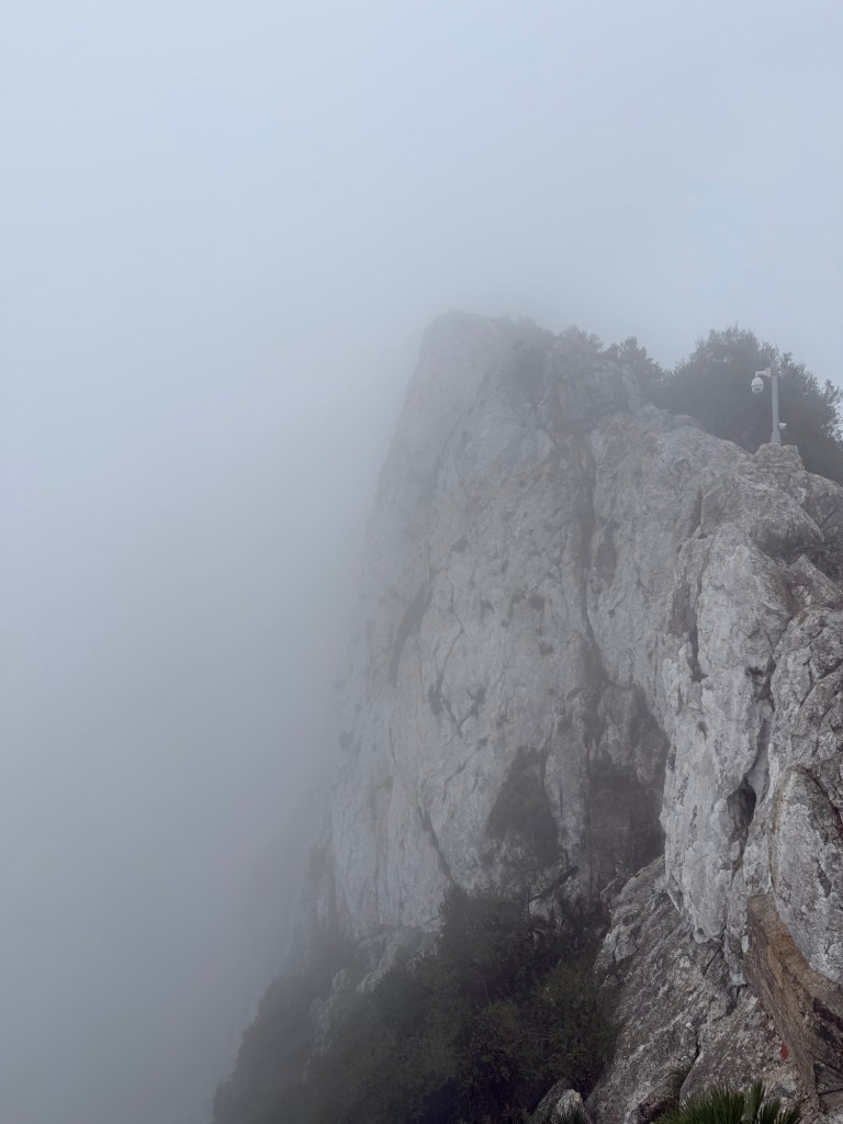
The microclimate that often shrouds the rock in cloud was on form. There were no panoramic views to be had. Across the top of the rock got us to the skywalk – with similar views.
The descent started here to the siege tunnels. Built in 1782, during the 3.5 year standoff between Britain and Spain. The aim was to reach an outcropping in the rock, known as The Notch. From this vantage point, the British could cover a sheltered area below, preventing the invading armies camping close to the rock.
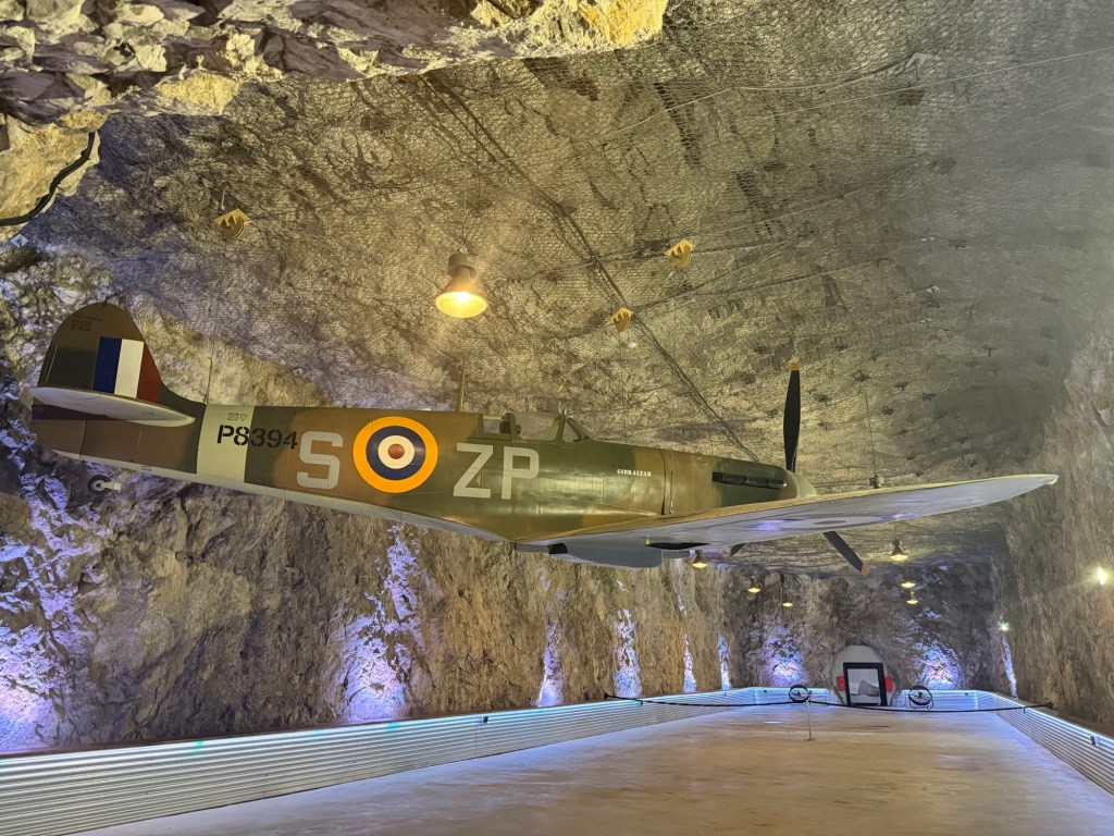
The last bit were the WW2 tunnels, used to garrison the army. Kilometres of tunnels had been dug, for protection and storage; practically a small underground town. The Moorish castle would have been next, however it was undergoing works and closed off to visitors.
The long day of walking and Macaque chasing built up a thirst. We headed to Irish quarter for food and beer. Capping off the day.
Day 5 – Gibraltar: Wildlife Conservation Centre
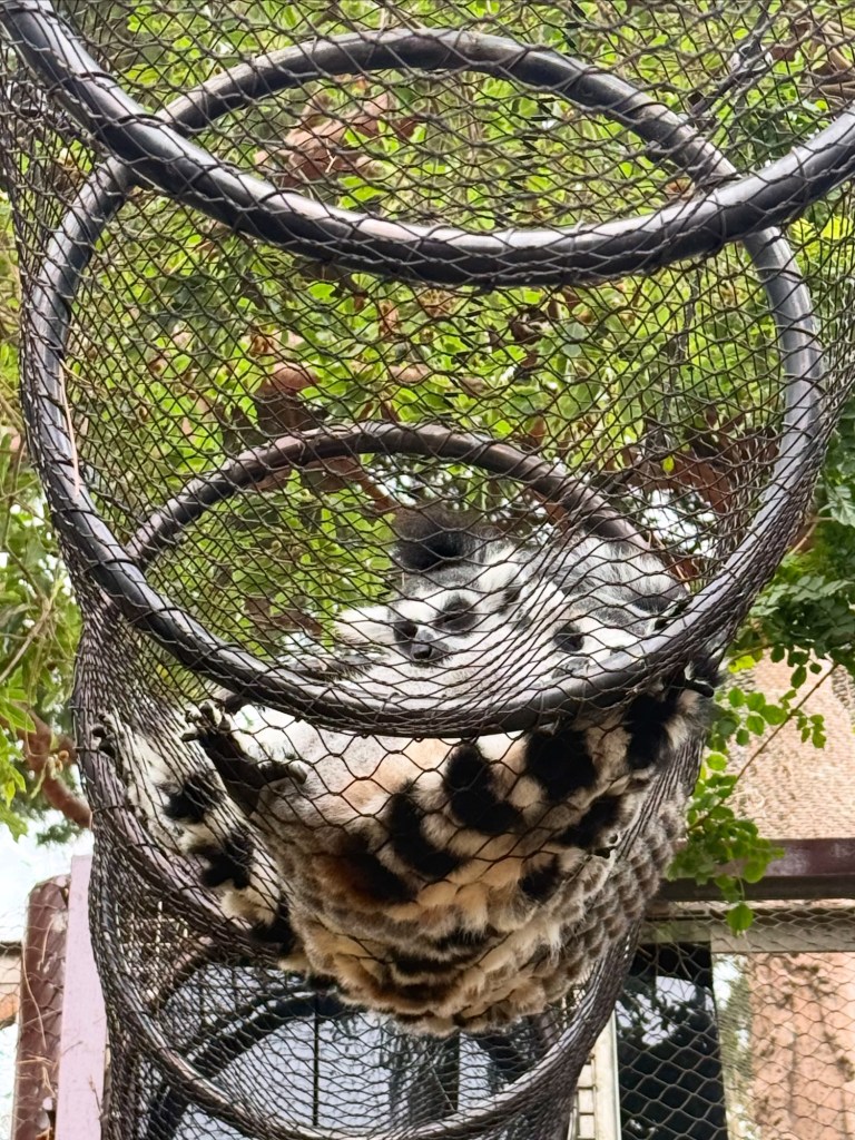
We headed to Alameda Park to see the botanical gardens and the conservation centre. With the microclimate still in full swing, we strolled around the well maintained garden and explored the small menagerie.
Lemurs, reptiles, otters, a variety of small apes and birds were on show. The winding paths took is past the enclosures and even into lemur enclosure.
After midday we met up with a friend who lives in Malaga, and spent the rest of the day in the Irish quarter catching up, and having perhaps one too many!
Day 6 – Gibraltar: Europa Point
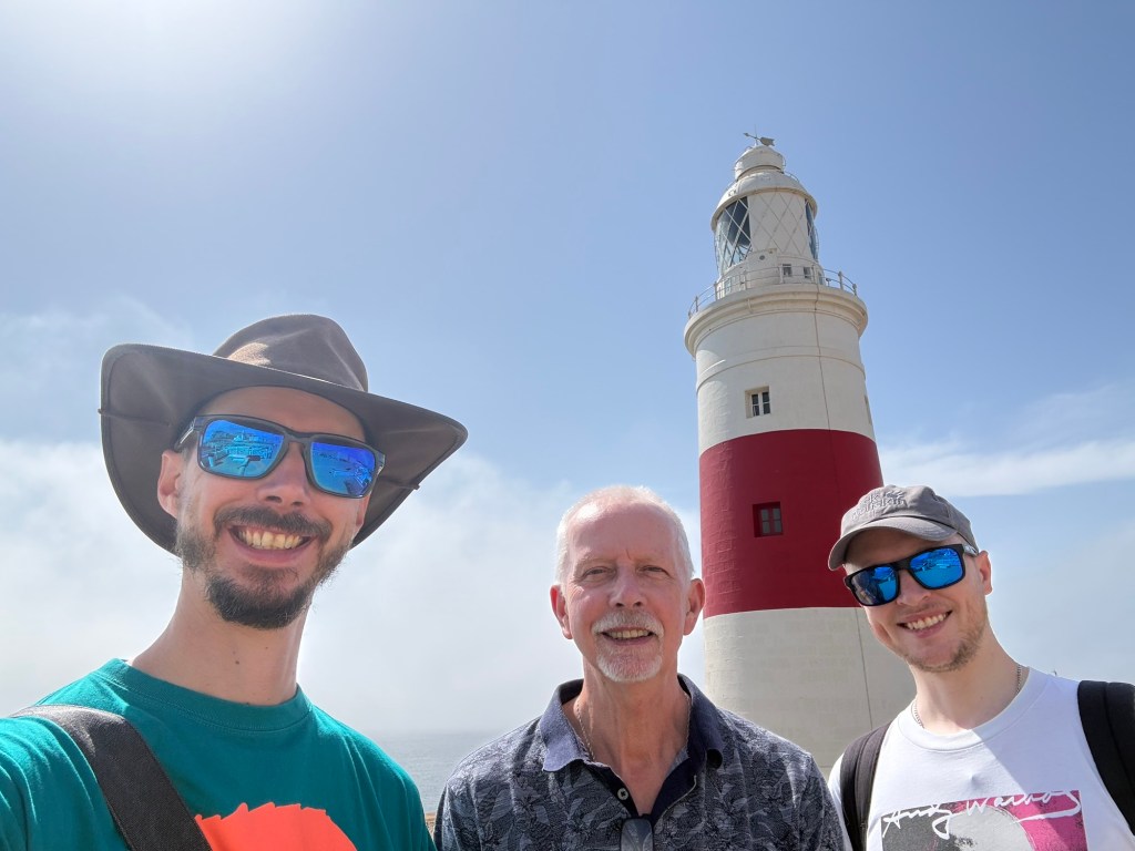
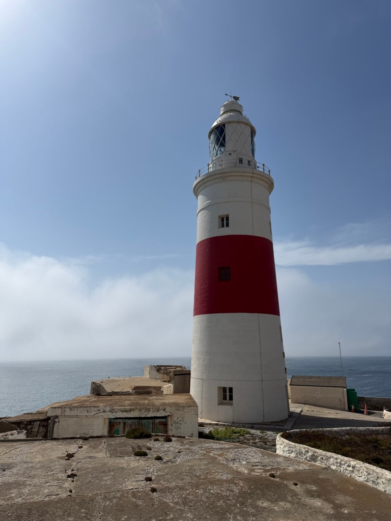
Our last day took us to the very south point of the peninsula. The red and white lighthouse marks the narrowest point of the Gibraltar Strait.
Although we could see the Rock today, out to sea, fog covered the horizon. The foghorns blaring from the cargo ships sailing within the murk. After a cold drink at cafe, we bar crawled our back to the main town, finishing at the square for food, completing our last day in Gibraltar.
The following morning we walked back across the runway, boarded our plane, then the microclimate struck. A thick fog rolled in, in a matter of minutes reducing visibility to 200m.
Gibraltar is a pilot only airport, meaning there are no autopilot capabilities. For planes to land or take off, there needs to be at least 1000m visibility.
We sat on the taxi spot for over two hours. Flights were being diverted to Malaga, chaos (which isn’t uncommon) ensued the skies. Thankfully the flight was smooth once we were in the air, and soon I was back in Blighty, making my way down the motorway home.
This year has been packed with adventures and pilgrimages, starting with the Walsingham Camino in March, The St. James Way in June and the short St. Alkelda’s Way in July. What better way to cap off the year than returning to continent!?
Four years ago on this day I was in Porto embarking on my second ever Camino. In September I’ll be returning, only instead of taking the central route where the August Sun baked me, I met fantastic pilgrims and had humbling experiences that gave me new perspectives. I’ll be following the coastal path.
To mix things up even more, I won’t be a solo pilgrim on this one; I will be joined by my mum and brother. This will be my brother’s first ever Camino. A whole new experience outside of his comfort zone. I know, no two pilgrimages are the same, but if we get to experience a fraction of what I had back in 2022, it’s going to be a good one!
The Coastal route follows the Atlantic northward through Portugal into Spain, before cutting inland at the city of Vigo, to join the Central path at Redondela. From there we head to Padrón, the home of the tapas dish ‘Pimientos de Padrón’ and the port where St. James was returned to the Iberian Peninsula after his beheading. The next stop after this is Santiago itself.
It should take us 13 days from Porto and being by the coast, the terrain shouldn’t be too taxing. Fingers crossed for the cool Atlantic breeze, sunny weather, good food and easy miles. We have a 7 day cushion should we want to take a rest day or, if we are feeling up to it, head to Fisterra or Muxia. If we a feeling adventurous we could do the Camino Inglés, completing the Spanish side of the St. James Way my mum and I did in June!
We’ll play it by ear and see how we feel. In true pilgrim style, we’ll trust the journey.
For me, the last couple of months have been manic, and the little spare time I’ve had, has been ploughed into getting my video of The St. James Way done.
It’s in a different style to my usual reflective narrative, as I’ve noticed that the UK routes are fairly unknown; they need a little more explanation around them. For those who know little of pilgrimage and the trails out there, they’ll need some background context otherwise it just looks like I’m just on a long walk.
I hope you will enjoy it and you feel inspired to undertake this pilgrimage.
It had gone 9 when I returned to the route. Again cooked breakfast was between 8.30 and 9. Must be a Yorkshire thing.
Drizzle greeted me on the climb out of Kettlewell and up on to the fells. It came in waves, never heavy enough for the full on waterproofs.
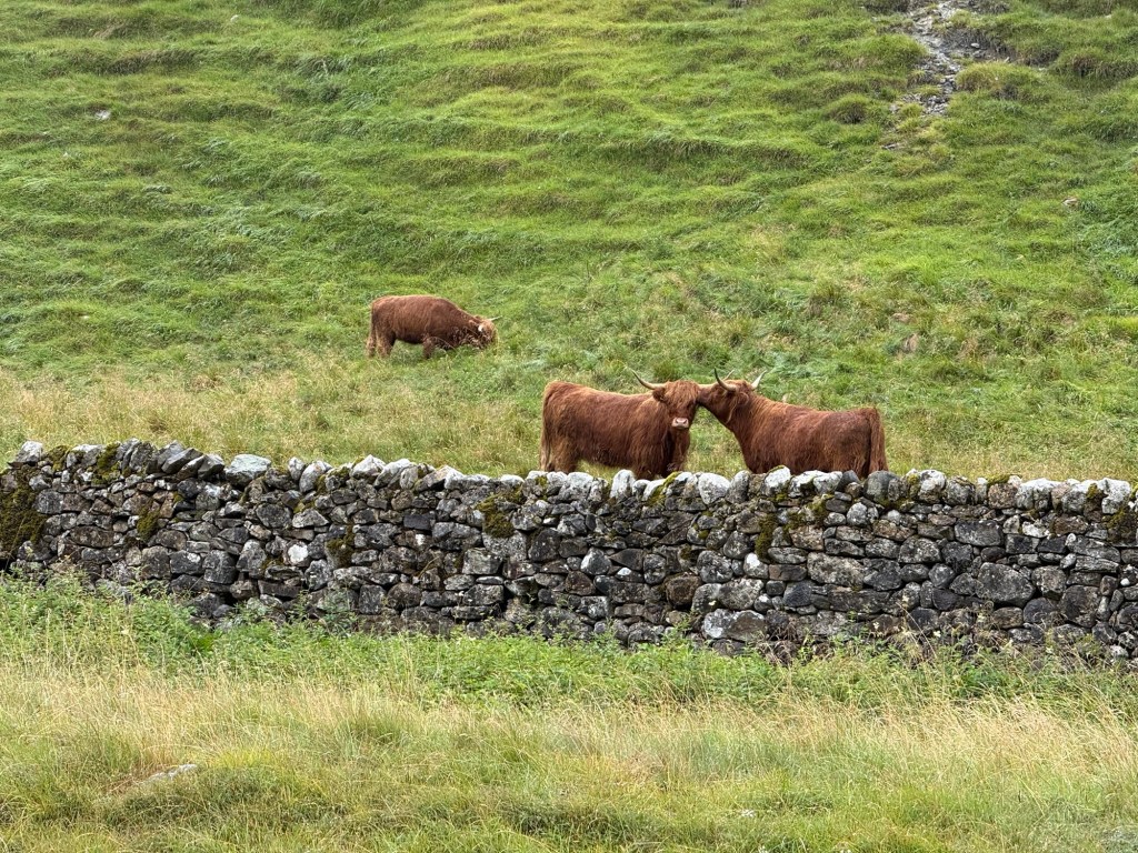
The first 5km was the toughest of the day, levelling off, crossing into Richmondshire. The single track road passed by grazing cows that watched me stroll by.
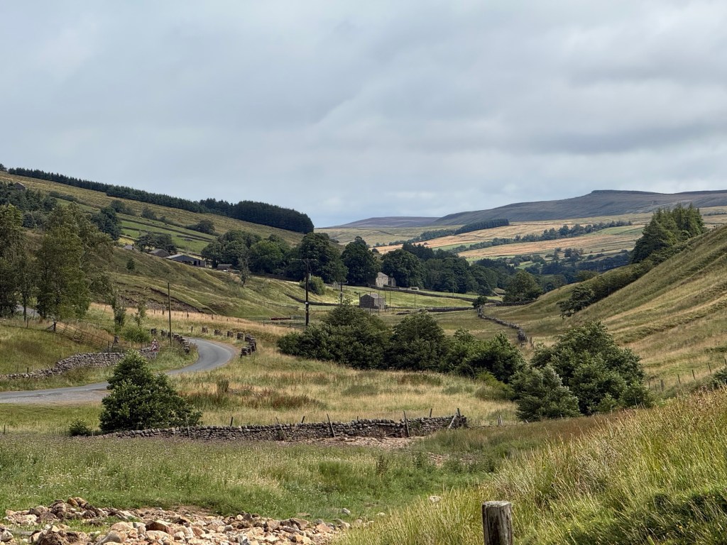
2km on, began the long descent. Grouse chicks darted across the tarmac, springs trickled at the side of the road.
The sun finally chased the rain away revealing the tranquil valley in front. After 2 hours of walking I stopped at a bench in Woodale, then moved onto Horsehouse.
I called into the pub which was more like someone’s front room. I got chatting to one of the locals. He gave me the history of the area.
One thing that has been apparent over this adventure, are the links to horses. Whether stables, pictures in the pubs or village names.
The reason for this, is Richard III. He resided in Middleham Castle, where he used to race the noblemen on horseback. The area then became the breeding and training centre of racehorses, some winners over the years can trace their lineage to the horses from here.
Effectively this is the birthplace of British horse racing. Middleham still has a training centre, the highest in the country.
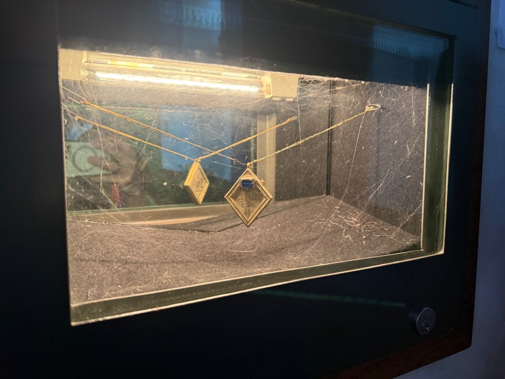
He also told me of the Middleham Jewel. A metal detectorist found a pendant with biblical engravings, below a gem stone. Due to its intricacy, it would have belonged to a noble person. A replica is held within St. Alkelda’s in Middleham.
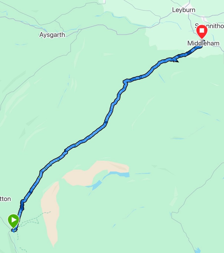
I moved on reaching Carlton, where my mum and Joe met me to walk the last 7km of this pilgrimage.
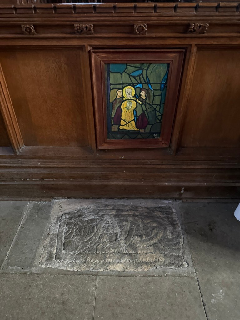
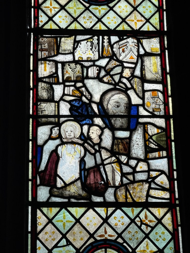
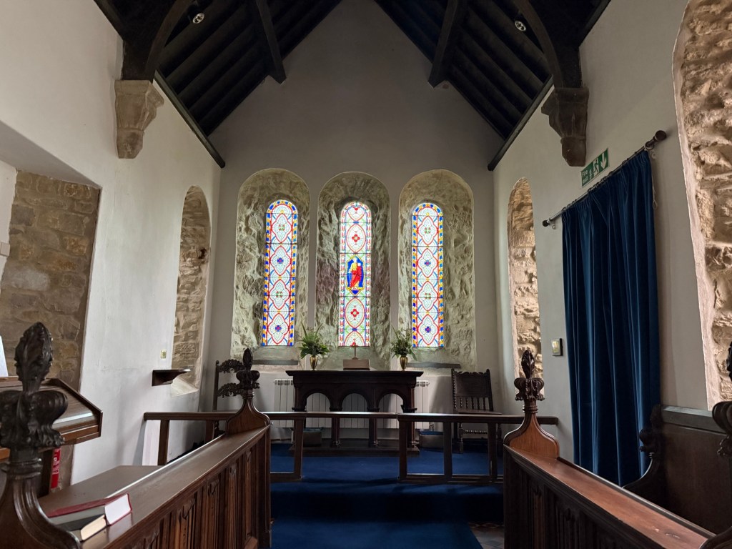
The distance flew by and before we knew it, we reached St. Alkelda’s in Middleham. We made it before the church warden locked up. She pointed out a stone knot, which is said to have marked the grave of Alkelda. Then showed us the stained glass windows depicting her story.
The choice was either do 2 of the 3 big hills on the first day or just do the one. Naturally I opted for the former; however a side quest had me adding an extra one!
I started later than I would have liked. My BnB only served a cooked breakfast between 8.30 and 9.00. I was ready on the dot. I wolfed it down and hit the trail.
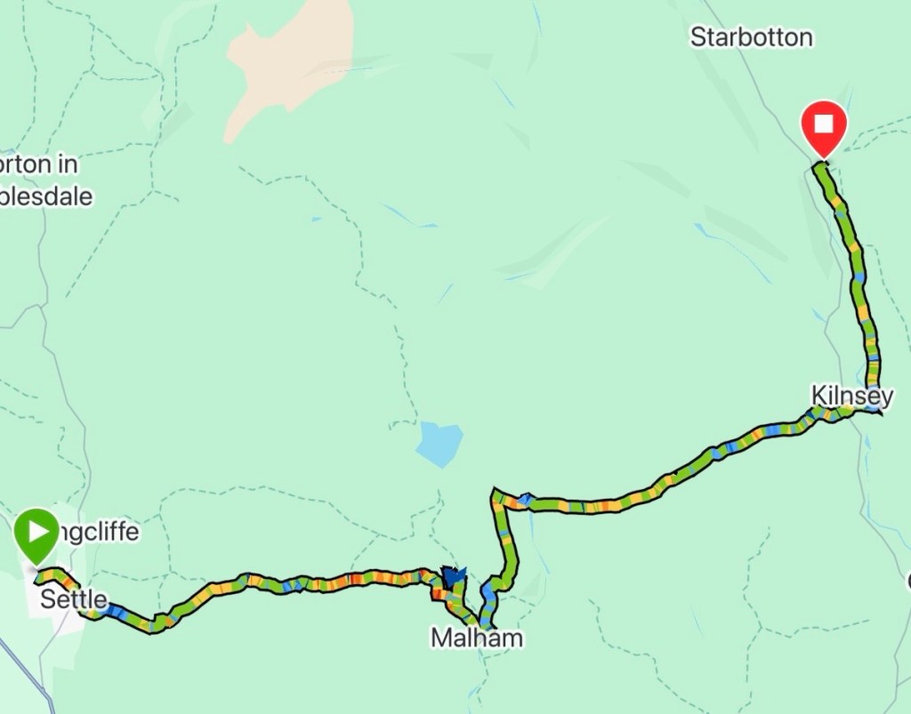
From St. Alkelda’s church, Giggleswick, I headed into Settle. Crossing the market square and up a silly steep road for the next 1.5km. It eased off as I joined the Pennine Bridleway.
Thankful for the softer gravel path, I made my way onto Kirkby Fell. The breeze was picking up, but gratefully it was a tail wind for a change.
Out on the Yorkshire Dales I got the solitude, I crave for. Rolling fells to the horizon, and lofty views of Malham Cove as I descended into the tiny village.
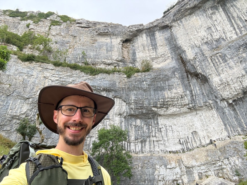
Not wanting to miss the chance to see this ice age relic, I diverted off route for this prehistoric waterfall.
Created by the glacial melts from the last ice age, a huge waterfall that would have rivalled Niagara Falls once fell at this spot. However the porous limestone has moved the water underground, only leaving a small stream today.
Standing at the bottom, I was in awe at the sheer scale of this Limestone face. Rock climbers were making their way up – ants on a wall.
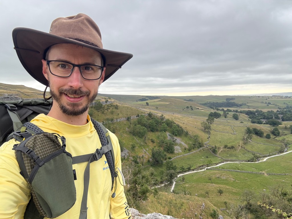
I had the option to take a steep path up to the top, where you can stand on the limestone pavement. A feature created from the corrosion of acidic rain.
I knew I’d regret it if I didn’t take the opportunity. So I added an extra hill to today’s walk.
Side quest complete, I stopped at the Listers Arms in Malham for a pint then moved on.
Road walking up the last steep section of the day followed, as a weather front arrived. Drizzle ensued, but not heavy enough for waterproofs.
Once it levelled out, I had 5km or so, crossing the dales. I stopped briefly for a snack, that was being eyed up by the sheep that grazed the land.
A pleasant decline into Conistone followed, with a small spell of sunshine. I called into St. Mary’s Church to shelter from the returning drizzle, for a short break and snack.
However the drizzle was here to stay. I ventured back out, following a single track road through the flat valley bottom into Kettleswell, my end point for the day.
I’m on a roll. The Walsingham Camino completed in March, The St. James’ Way finished a couple of weeks ago and I have a big one coming up later in the year, that I’m itching to start; my energy and soul is currently fully recharged.
Keen to keep the momentum going, I’ve found a 3 day pilgrimage across the Yorkshire Dales – Although in my typical style, I’m doing it in 2!
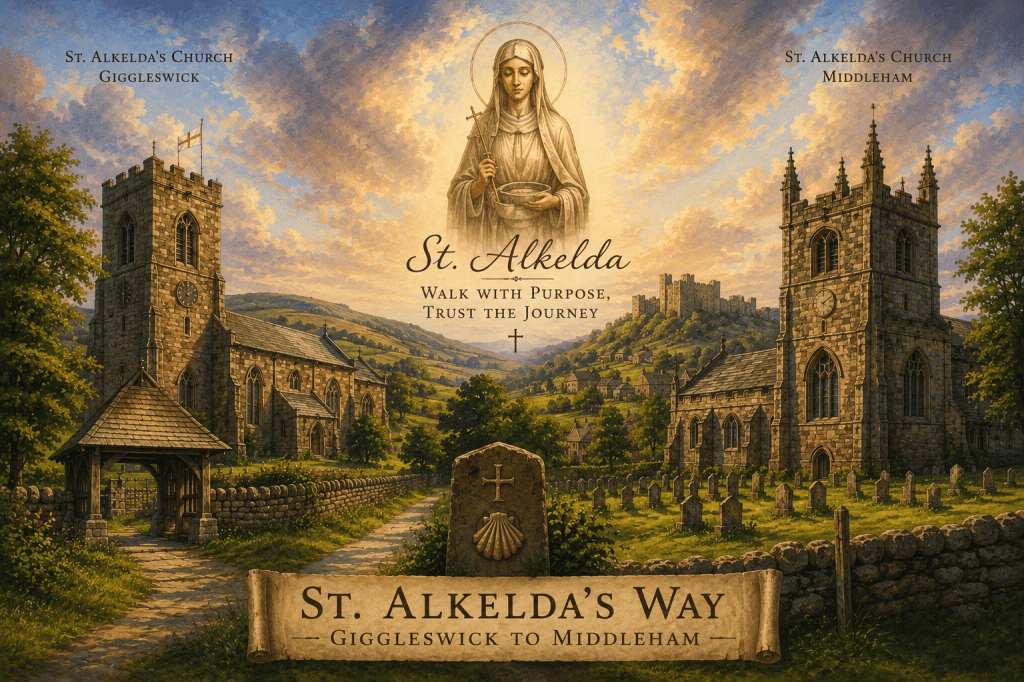
St. Alkelda’s Way, 52km from Giggleswick to Middleham. Passing through Conistone, Kettlewell and Carlton. It crosses the rolling moorlands and limestone dales of this UK national park.
This obscure North Yorkshire saint is linked to villages of Giggleswick and Middleham each with churches in her name. She was an Anglo-Saxon noblewoman who travelled between the two villages, performing baptisms at the numerous holy wells along the path. However she was captured and strangled to death by a Viking woman.
Although this medieval story has become legend in the area, there is some doubt as to its authenticity. Historians believe the name ‘Alkelda’s is from the mashup of an old English and Norse word Halig Keld which means Sacred Well or Holy Spring. ‘Halig’ being Anglo-Saxon for holy/sacred and ‘Keld’ being Norse for spring/well.
Which would be appropriate with the many springs in the area.
BnBs all booked as the hostels are full for when I intend to walk. There is a surprising number of places to stay and pubs on this route. This could potentially be a little gem.
Now all I have to do is finish off my video for the ‘St. James’ Way’ and count down the days!