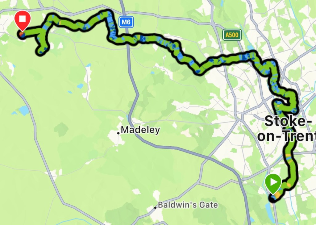
Robert Burns once penned, “The best laid plans of mice and men often go awry” in his poem ‘To a Mouse’. No truer words could describe todays journey.
The sun was out although a little on the chilly side, when I rejoined the trail at Trentham. The path follows Longton Brook before cutting through a housing estate to join the Trent and Mersey Canal.
Seems simple on the map, but not the case. The markers were scarce and map wasn’t helpful, as it didn’t show the exact location where the route joins the towpath. I ended up wandering the cul-de-sacs for a way onto the canal for a good 15mins. In the end I had to ask a chap who was loading his car. Typically it was back in the direction I had come.
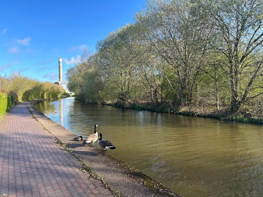
Once on the towpath it was an easy walk into Stoke, leaving briefly to Stoke Minister before rejoining the canal out to Hanley. The way goes around Hanley, Cobridge and Burslem, through all the retail and industrial parks.
The markers and the map failed me again trying to get back to the canal from Burslem. The markers led to a dead end and a path that would have led me further down the canal was just scrubland.
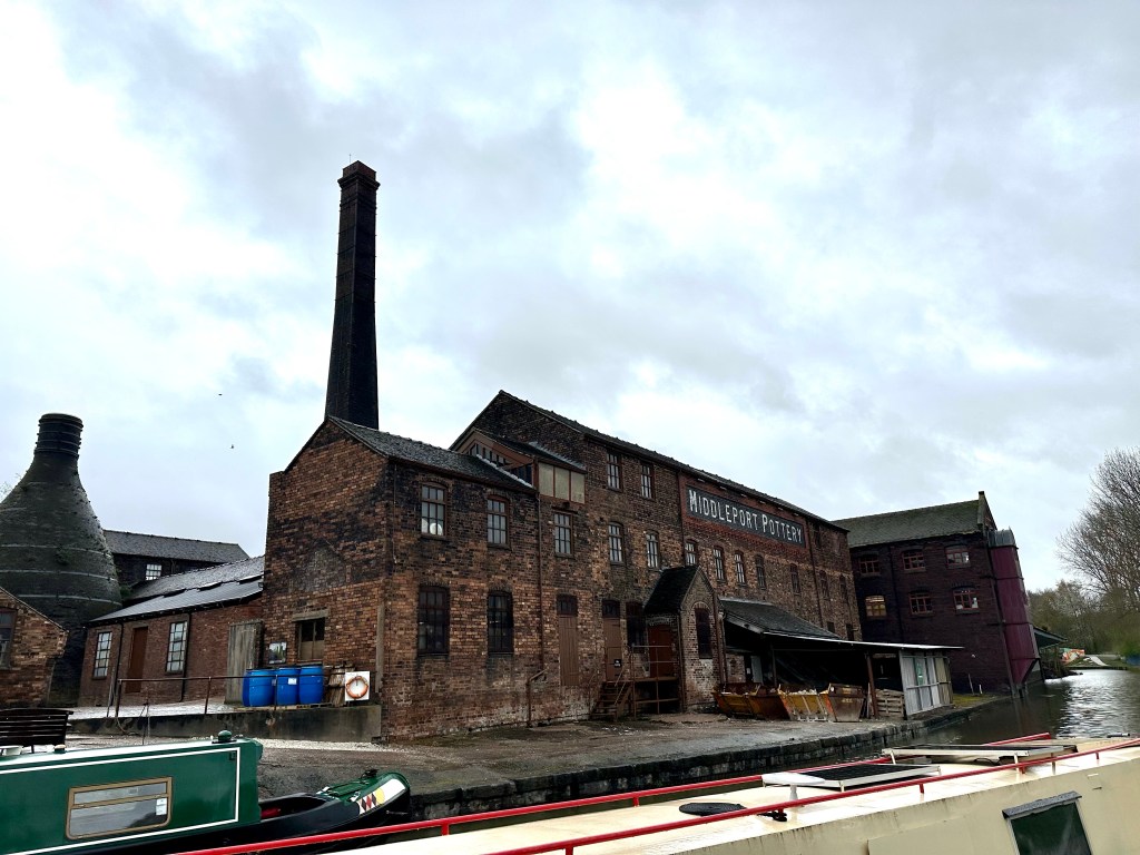
When I finally rejoined the towpath at Middleport Pottery, I wasn’t far from where I left at Hanley. Basically a loop around Stoke’s industrial estates.
I crossed under the A500 into Bradwell, where a huge line of bikers were following a hearse into the crematorium. I waited for them to pass, more out wanting a rest than continuing on.
20km in, I finally reached Chesterton, on the very edge of the city. Although that wasn’t half way, I still had about 26km to go. All the dead ends and detouring had added to my distance covered.
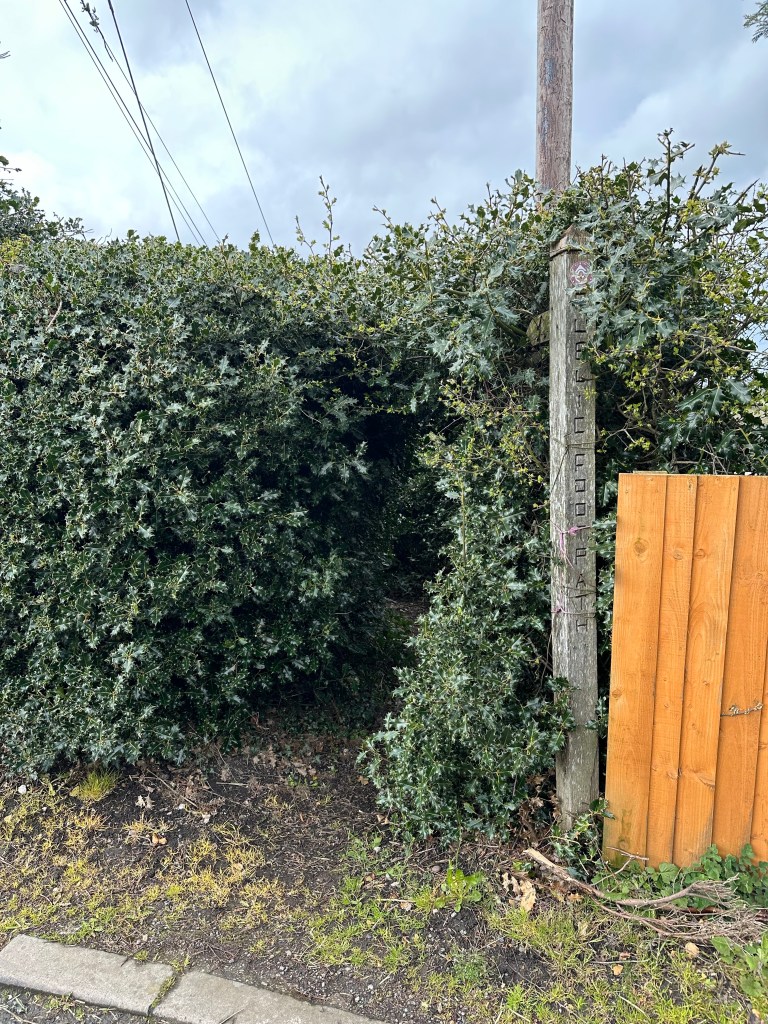
I made tracks through the countryside at last however my marker woes didn’t end in Stoke, the same problem occurred in ‘Woods Lane’. The marker was hidden within a holly bush, that the route went through. It was a tunnel of pain, by the time I reached Audley I needed a pint.
I called into the Butchers Arms for a swift half. A group of bikers filled the tiny bar. I ordered my drink; upon seeing my pack they enquired about my walk. They had been to the funeral however they didn’t see me resting while the procession passed.
We all had a good chat about the various hikes we had done. I could have stopped for one more, but I still had 20k to go. I left as another rain shower arrived.
I clocked over 30km and I was starting to flag, this meant it was time for music. I got my earphones out and put some upbeat tunes on. My pace quickened.
However this all came to a halt at Chorlton. Works for the HS2 blocked the route, I followed the diversion but it wanted me to go down none existent paths. Checking the map there was another route that would join the TSW at Wybunbury.
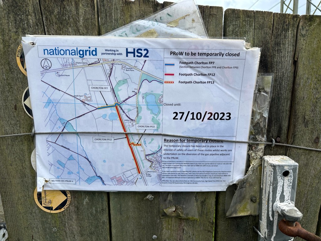
But housing works south of Chorlton scuppered that idea. I had to back track and follow the road into Hough, I had wasted an hour with this folly.
The distance to my destination was going up by this point and I had covered 39k, 12k still to go according to the app. I had to call a taxi to take me into Nantwich. My watch was showing 41km by the time I got into Hough; pretty much what the distance should have been if the day had stuck to the script.
With that in mind, I don’t feel it would be cheating if I set off from Nantwich tomorrow and not get a taxi back to Hough.
Hopefully my marker nightmare is now over and I’ll be in Chester tomorrow evening! The end the Way of St. Werburgh.
