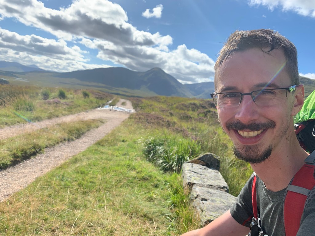
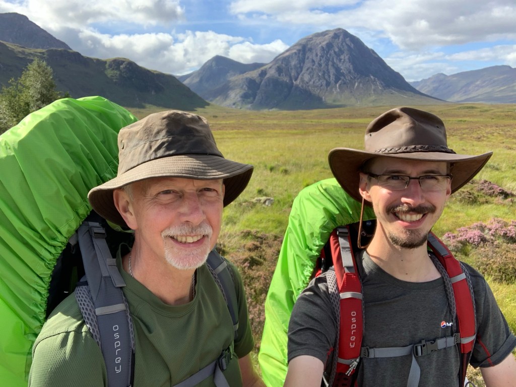
I was feeling much improved from the day before but still had an Imodium to be safe. We left the hotel in glorious sunshine which stayed with us throughout the day; we actually had to put the sunscreen on!
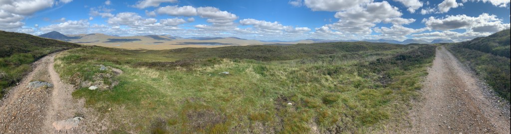
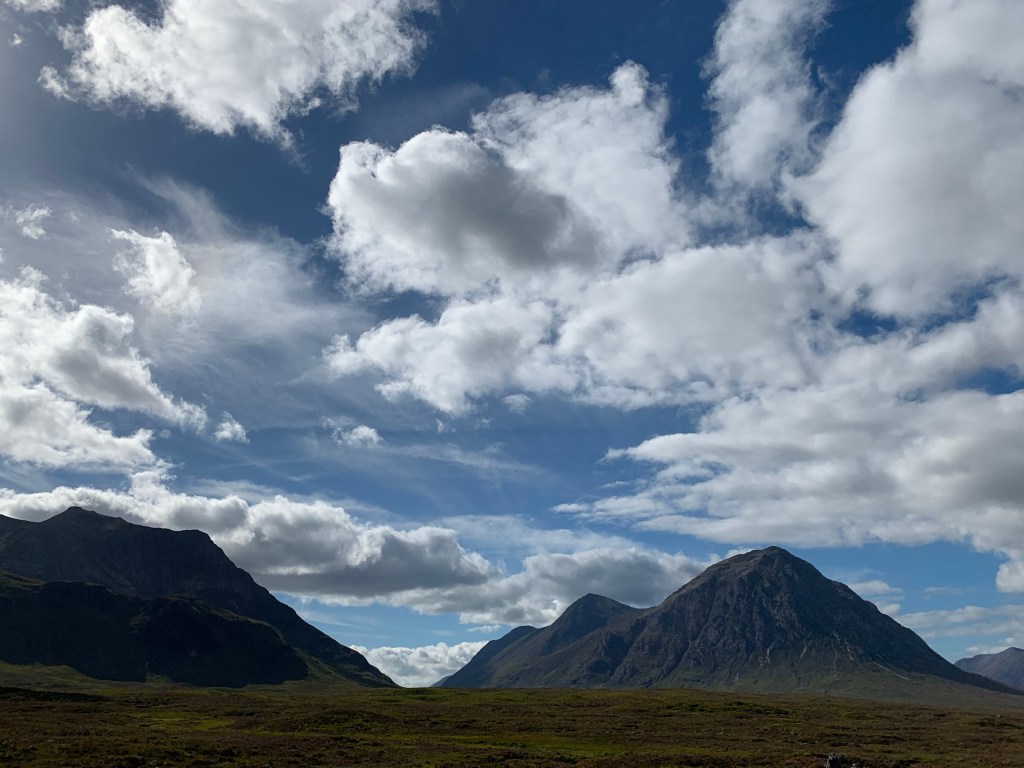
We crossed the bridge and began our ascent up Mam Carraigh. At the top we were greeted with amazing views of Loch Tulla. Now the rain has gone we are finally getting the scenery we were after.
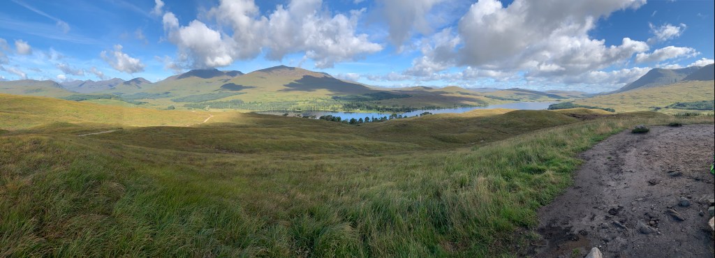
There has hardly been any wind today, not even a breeze. This meant we couldn’t stand still for too long as the Air Piranhas swarmed us. We were finally chased off from our view point and the path descended to the valley floor. We got a few more photos of the Loch.
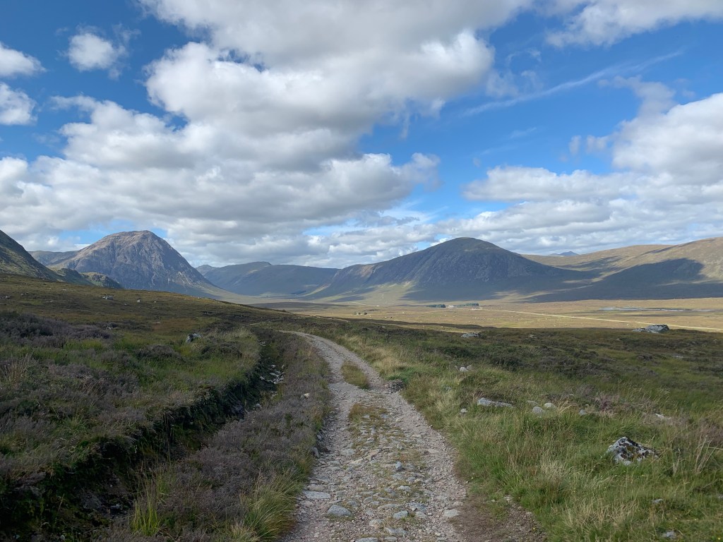
We reached the road outside the Inveroran Hotel which the WHW follows for 1Km. At the end we joined the old military road that leads to the Kings House Hotel; our a room for the night.


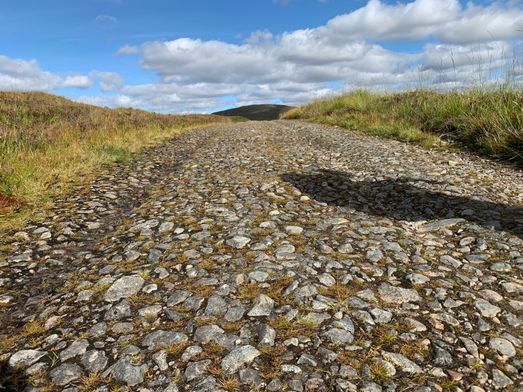
The Military road had been used in the trade of cattle, but had fallen into disrepair. In 1803 the goverment began resurfacing it for the transportation of the cattle and was used up until to the 1930s.
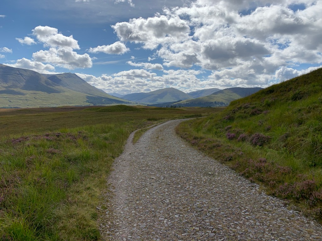
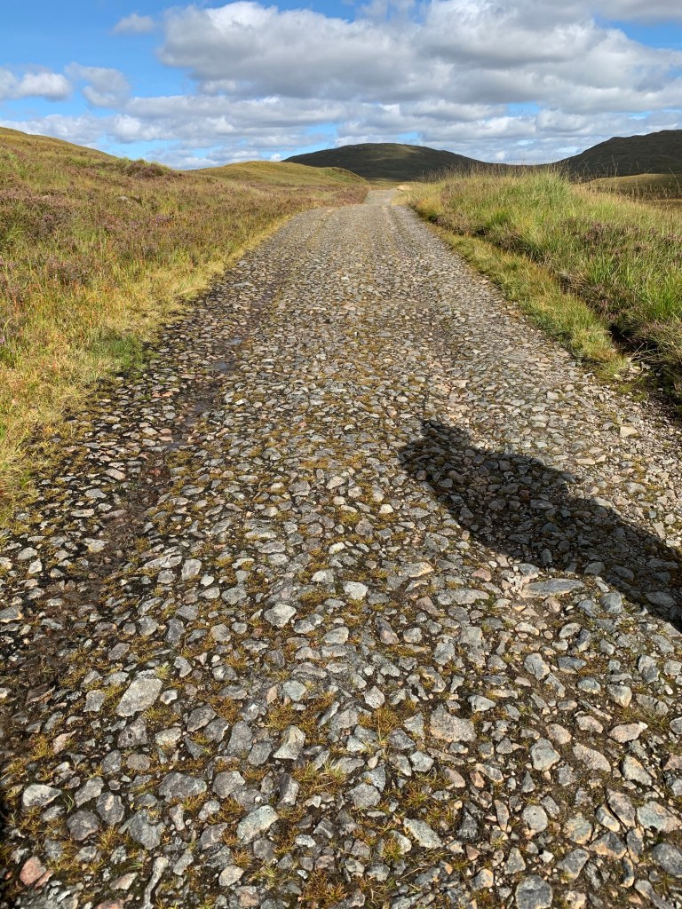
The footing was uneven with small rocks almost resembling cobbles. It was a little tricky at times but compared to what we have experienced over the last few days, it was nothing we couldn’t handle.
When the road was rebuilt they ensured the incline was be gradual, which meant we could cover the ascent quickly. The higher we got the greater the views. For about a mile we followed a tree line, but once we broke free we had most stunning scenery.

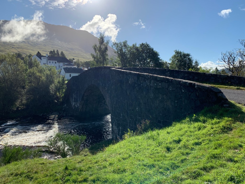
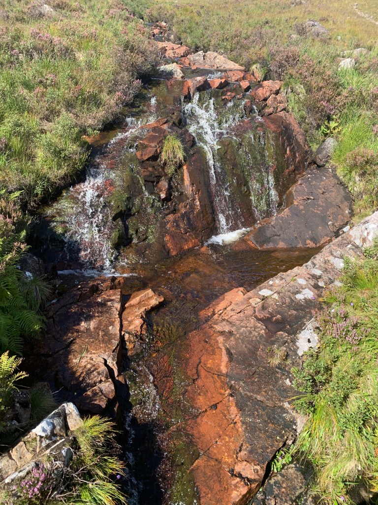
Exactly at 6 miles (halfway point for the day) we came to a bridge. It was a good enough spot to have our dinner; we sat on the stone bridge wall content in the sunshine.
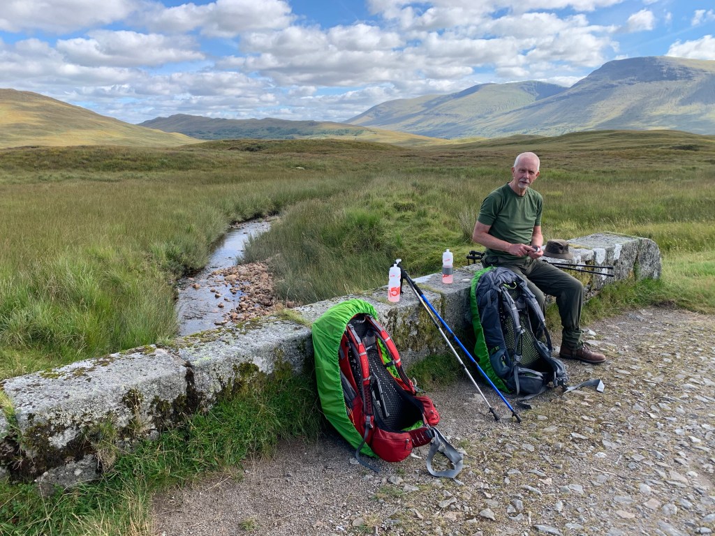
However it wasn’t long before the Air Piranhas tracked us down and started to feast. We put on our midge defences but it was to no avail. We found if we walked while we ate it kept them at bay; seems they don’t like moving targets.
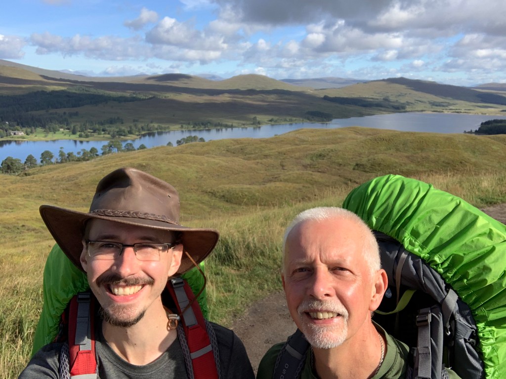
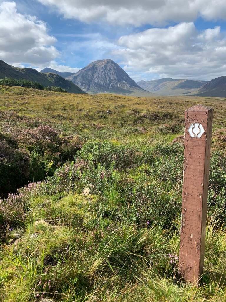
We pushed on for the last 6 miles, continually spoilt with the scenery. This has been by far the best day for the photographs.
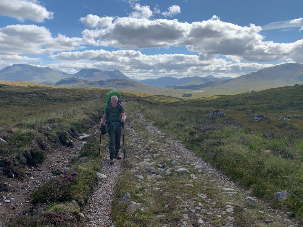
I was lost in thought at one point, thinking about the thousands of people who have walked this path before me. The sites that not very many will have seen. Looking at the road you can see the grooves cut through the stone, made by the horse and carts that have traveled this path before. It is a very old route.
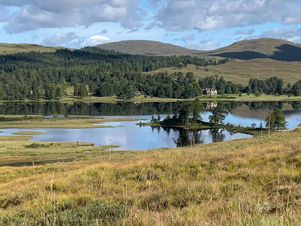
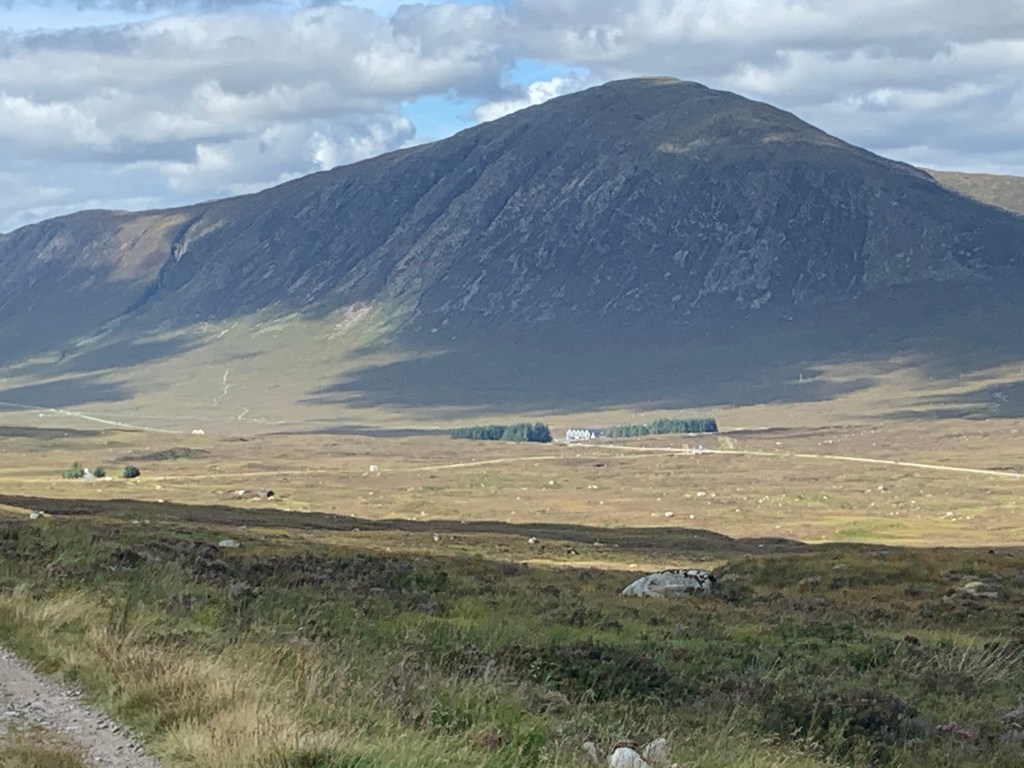
At the two mile point we rounded a corner where we caught site of the Kings House. The valley was just as spectacular as the last.
We also caught site of the ‘Devil’s Staircase’ our hardest section for tomorrow’s stage. I tried to photograph it but the camera in the phone didn’t cut it at this distance.
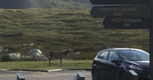
We arrived at our destination and booked in to the bunk house. We headed to the bar after a shower so my dad could have his Guinness and for me to write my blog. As we got to the main building there were deers in the carpark! They were friendly as fellow guests were feeding them.

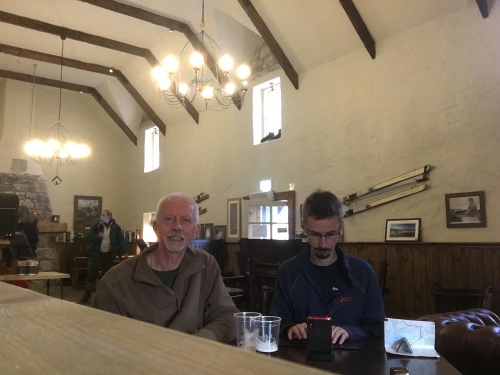
According to a picture on the wall, we have walked 72 miles! Tomorrow is a very short 8 miles however we have the challenge of the ‘Devil’s Staircase’!

Keep going guys, fab photo’s
LikeLike